

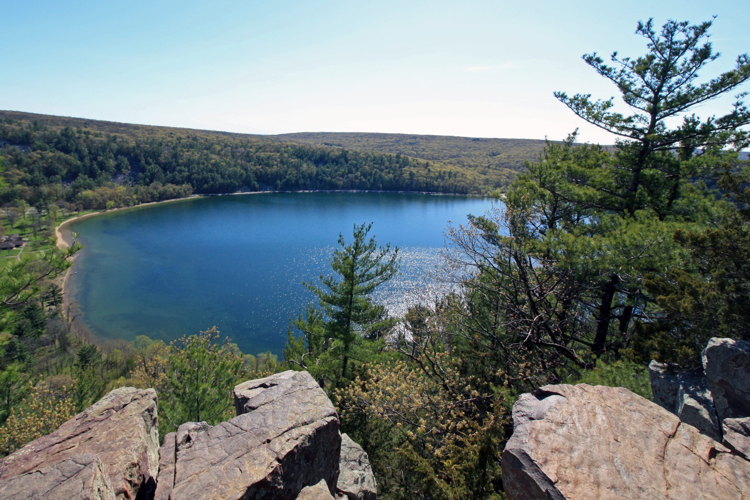
Devil’s Lake State Park
Fast facts
- Size: about 9,200 acres (37 km²), the largest state park in Wisconsin
- The lake: 360 acres (146 ha), with no motors allowed except electric
- The bluffs: quartzite, rising about 500 feet (150 m) above the water
- Trails: 29 miles (47 km), including part of the Ice Age National Scenic Trail
- Camping: 423 sites in three campgrounds, plus nine group sites; no backcountry camping
- Established: 1911
- Managed by: Wisconsin Department of Natural Resources
The landscape
Devil’s Lake fills a gap in the Baraboo Hills, an ancient range of purple-grey quartzite. A river once ran through the gap. During the last ice age the edge of the ice sheet stopped here and left a ridge of debris, a terminal moraine, across each end, and the lake has been held between them for about 12,000 years. It has no surface outlet. Bluffs rise about 500 feet (150 m) on the east, west and south sides, with long slopes of fallen boulders, called talus, running from the cliffs down to the water.
Frost and time have left odd shapes in the quartzite along the bluff tops, the best known being Balanced Rock and Devil’s Doorway. The bluffs are covered in oak and pine and the hills around them hold one of the largest unbroken hardwood forests in the Midwest. Effigy mounds built by Native people in the shapes of animals lie near both ends of the lake.
Best time to go
The park is open all year. Summer brings swimmers, paddlers and campers, and from May to October the parking lots often fill before 9 a.m. on weekends and holidays, when the park may hold cars at the gate until space opens. Weekdays, early mornings and the south shore are quieter. Fall colour peaks in early to mid-October and is the busiest time on the bluff trails. In winter the Quartzite campground stays open, the trails are used for snowshoeing and skiing, and the stone steps on the bluffs are icy. Two of the three campgrounds close from about October to April.
Getting there and around
Most visitors arrive at the north shore, three miles (5 km) south of Baraboo, where the Visitor Center, the largest beach, the boat launch and two of the campgrounds are. The south shore has its own beach, picnic area and parking, and is the closer start for Balanced Rock, the Potholes Trail and Devil’s Doorway. The two shores are joined on foot by the Tumbled Rocks Trail along the west side of the lake and by the bluff trails, and by road it is a drive of several miles around the park. Parfrey’s Glen, a separate state natural area managed by the park, is a short drive to the east.
Things to do
The classic hike is a loop over one or both bluffs. The East Bluff Trail runs 1.7 miles (2.7 km) along the cliff top past Elephant Rock, and the West Bluff Trail 1.4 miles (2.3 km) on the other side; both are rated most difficult, with many stone steps. On the south face of the East Bluff, the Balanced Rock Trail climbs 0.4 miles (0.6 km) up what is in effect a rough stone staircase, and the Potholes and C.C.C. trails do the same nearby. Devil’s Doorway, an arch of stacked quartzite blocks, is a short spur from the East Bluff Trail. For an easy walk, the Tumbled Rocks Trail follows the lakeshore for a mile (1.6 km) through the boulder field under the West Bluff, and the level Grottos Trail runs 0.7 miles (1.1 km) along the foot of the East Bluff.
Away from the lake, the Ice Age National Scenic Trail crosses the park, the Sauk Point Trail runs 4.5 miles (7.2 km) to the highest point in the Baraboo Hills, and the Upland Trail is a 3.8-mile (6.1 km) loop open to mountain bikes when conditions allow. On the water there are swimming beaches at both ends of the lake, with canoe, kayak and paddleboard rentals in summer. The quartzite bluffs are one of the best-known rock climbing areas in the Midwest. The Nature Center has exhibits on the geology and runs programs through the year.
Staying safe
The bluff trails follow the edge of real cliffs, without railings, and people are seriously hurt in falls here. Stay on the trail, keep back from the edge, keep children within reach, and do not scramble on the talus, where boulders shift. Quartzite is slick when wet and polished smooth on the popular steps, so wear shoes with good grip and avoid the steep trails in rain or ice. The bluff tops are exposed; come down if a thunderstorm is building.
The beaches have no lifeguards, and the lake is cold in spring and fall. Check for ticks after hiking, since deer ticks here can carry Lyme disease. Phone service is poor in much of the park, so do not count on a phone for navigation or for help: carry a map, and know that the two emergency phones are at the north shore Visitor Center and the south shore entrance. On busy days plan for the parking as well as the hike, and have a second choice ready.
Know before you go
A vehicle admission sticker is required and can be bought at the park. Campsites are not in sight of the lake, and all of them must be reserved before you set up. Parfrey’s Glen allows no pets, food or drink. Rock climbers need their own equipment and experience, as the park does not maintain the routes. This page is a general overview, not a live conditions report, so check the park’s notices for closures, construction and crowding with the Wisconsin DNR before you go.
- Coordinates
- 43.4153, -89.7045
- Magnetic declination
- 2.8° W (2026)
Set this declination on your compass, then align it to the map's north lines; it is the angle between true north and magnetic north, refreshed each year.
How declination works, and how to navigate with a map and compass
A spread of the park’s main places shows straight away, and the rest appear as you zoom in. You can also search above, or pick any place from the lists below, and the map will go to it. Places in bold, marked , have a short description.
Getting there 1
Ranger station
On the trail 16
Trailheads
Routes
Campgrounds
Picnic site
Sights 12
Lake
Beaches
Heritage sites
Points of interest
Peak
Map data comes from third-party sources and may be incomplete or out of date, so carry a current official map (terms).
Looking for one of these closer to home?Destinations near me by trip type →
- Best seasons
- Late spring, Summer, Fall (colour), Winter (snowshoeing and skiing)
- Difficulty
- Easy to strenuous
- Access / trailheads
- The park is just south of Baraboo, about 35 miles (56 km) northwest of Madison. The north shore entrance is on County Road DL; the south shore has its own entrance on South Lake Road.
- Water
- Drinking water taps in the campgrounds and day-use areas from about mid-April to mid-October; taps are shut off in winter. Carry water on the bluff trails.
- Cell / satellite coverage
- Poor or absent in many parts of the park, by the park's own account. Two emergency phones that dial 911 stand outside the north shore Visitor Center and the south shore entrance station.
- Nearest ranger / SAR / emergency
- Emergencies: 911. Park office: 608-356-8301.
- Permits & regulations
- A Wisconsin state park vehicle admission sticker is required. Every campsite must be reserved, up to 11 months ahead. The park is open from 6 a.m. to 11 p.m. all year.
- Leave No Trace
- Wisconsin state parks are carry-in, carry-out: take all your trash home. Stay on the trails, leave the rock and the effigy mounds as you find them, and do not move firewood.
January
- Below freezing all day
February
- Below freezing all day
March
- Below-freezing nights
April
May
June
July
August
September
October This month
November
- Below-freezing nights
December
- Below-freezing nights
What to bring depends on your trip: how long you’re out, where you sleep, and how far you go from the road. The planner builds the list for yours.
Plan a trip here →Averages for 1991–2020 from NOAA U.S. Climate Normals, measured at the Baraboo Wwtp station, 3 miles (5 km)5 km (3 miles) away at 813 feet (248 m)248 m (813 feet). Higher trails run colder, by about 3.5°F for every 1,000 ft (2°C per 300 m)2°C for every 300 m (3.5°F per 1,000 ft) of climb. Daylight runs from sunrise to sunset on the 15th, on the park’s own clock, for a level horizon. Valleys and slopes facing away from the sun are in shade earlier.
Nearby parks
-
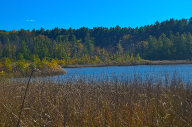 Kettle Moraine State Forest
Glacial kames, kettles and eskers an hour from Milwaukee, with backpack shelters on the Ice Age National Scenic Trail.
-
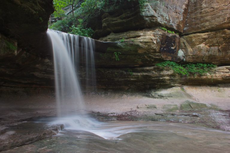 Starved Rock State Park
Eighteen sandstone canyons with rain-fed waterfalls along the Illinois River, on 13 miles (21 km) of trail at Illinois's most visited state park.
-
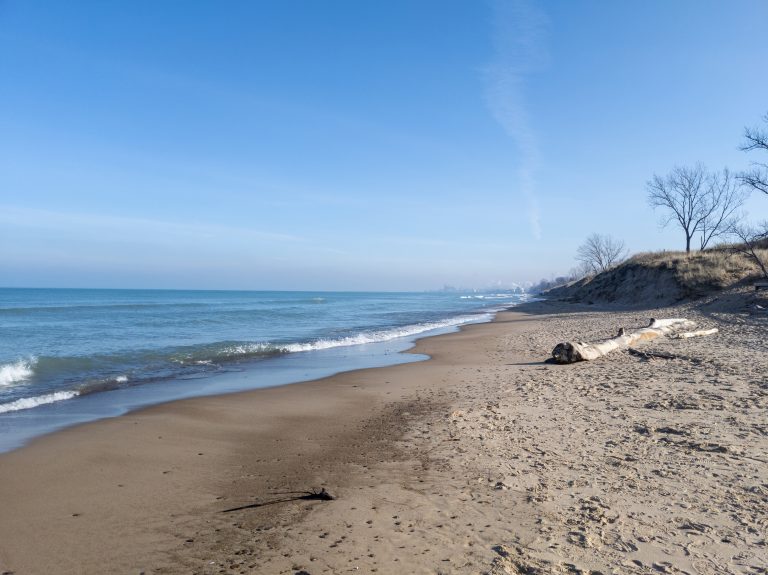 Indiana Dunes National Park
Fifteen miles (24 km) of Lake Michigan shore an hour from Chicago, with towering dunes and rich wetlands.
-
 Porcupine Mountains Wilderness State Park
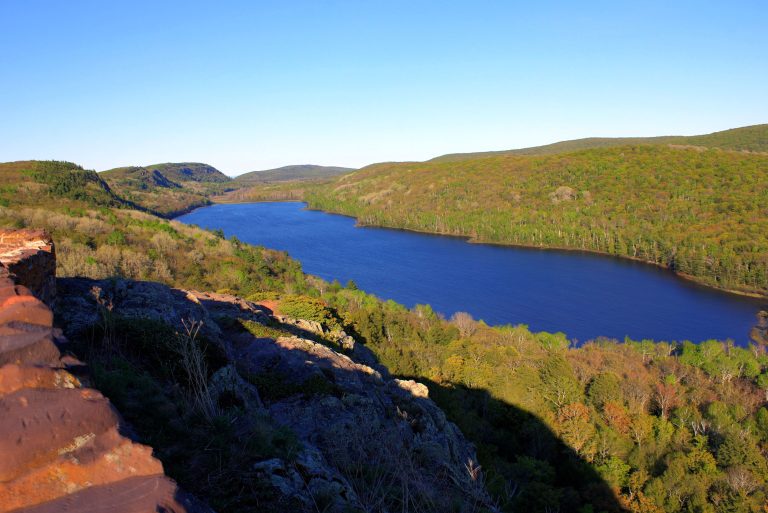
Michigan's largest state park: old-growth forest, Lake of the Clouds and wild Lake Superior shoreline on the far western Upper Peninsula.
Straight-line distance between park centres. Road distance is usually longer.
Looking for somewhere closer to home?
See every park and monument within a day’s drive of where you are.