

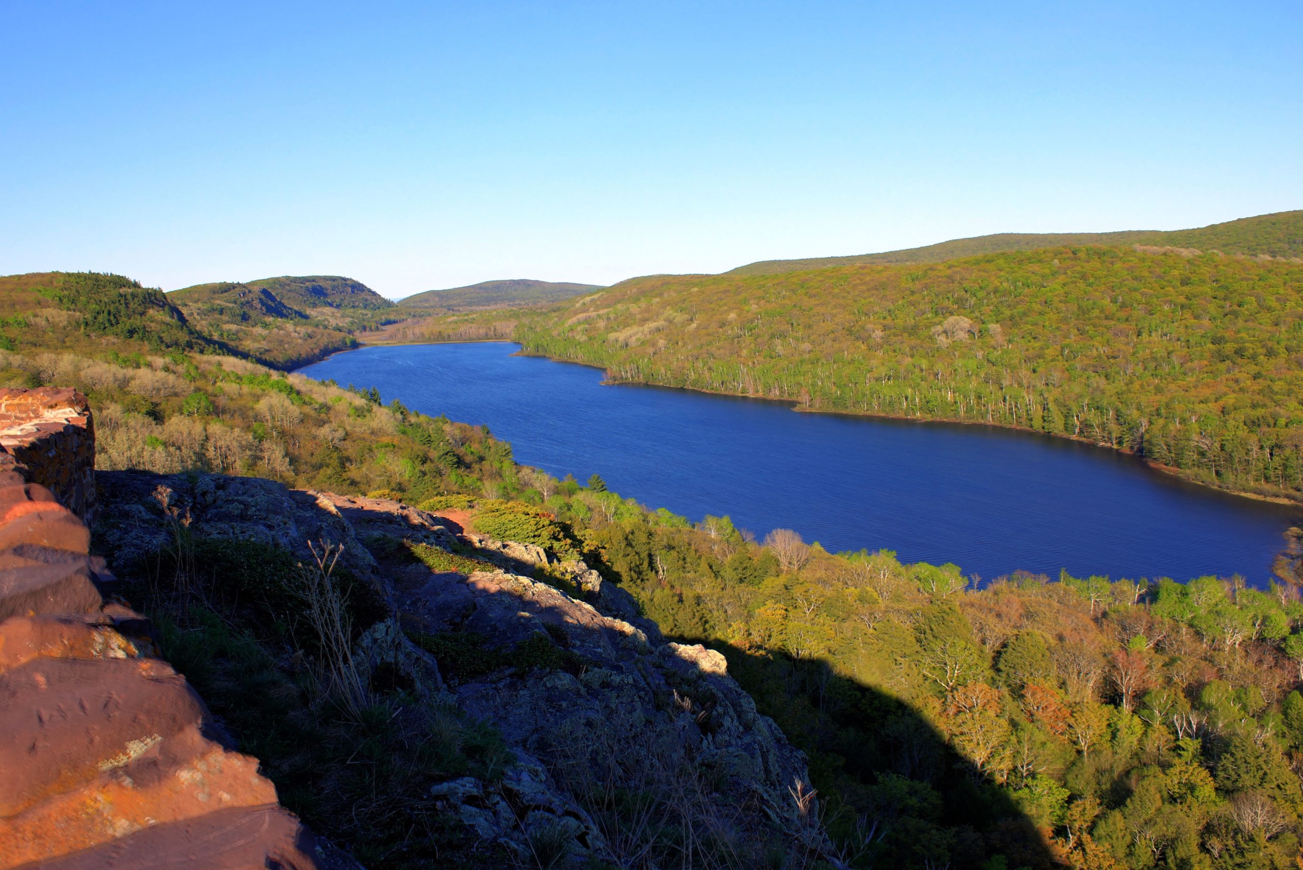
Porcupine Mountains Wilderness State Park
Fast facts
- Established: 1945
- Size: about 60,000 acres (243 km²), Michigan’s largest state park
- Highest point: Summit Peak, about 1,958 feet (597 m), with an observation tower
- Overnight options: backcountry sites, rustic cabins and yurts, plus road-accessible campgrounds
- Gateway: Ontonagon, about 20 miles (32 km) east
- Managed by: the Michigan Department of Natural Resources
The landscape
The Porkies are a range of old, worn-down hills along the Lake Superior shore, cloaked in one of the largest stands of old-growth northern hardwood forest left in the Midwest. Lake of the Clouds sits in a valley between ridges, seen from a famous overlook. Rivers such as the Presque Isle drop through waterfalls to the lake, and the shoreline mixes cobble beaches and rock. Black bears are common, and the park also holds white-tailed deer, wolves and a wide mix of northern birds.
Best time to go
Summer is the main hiking season, with long days and cool air off Lake Superior; June brings blackflies and mosquitoes. Late September and early October are spectacular for fall color, and the park is busy on weekends then. Winter is long and snowy, when the park’s ski area, cross-country trails and snowshoeing take over and several roads become snowmobile routes.
Getting there and around
The park is on the western Upper Peninsula, about 20 miles (32 km) west of Ontonagon. M-107 leads to the visitor center, the Union Bay campground and the Lake of the Clouds overlook, and South Boundary Road runs along the south side to trailheads and the Presque Isle area. Ironwood and Houghton, about an hour away, have the nearest commercial airports.
Things to do
A network of trails links the interior, and multi-day loops use the Lake Superior Trail, the Escarpment Trail and the Big Carp River. Backcountry cabins and yurts give a roof in remote spots, and Lake of the Clouds, Summit Peak and the Presque Isle River waterfalls make easy day trips. In fall there are chairlift rides at the ski area, and in winter downhill and cross-country skiing and snowshoeing.
Staying safe
Lake Superior is cold year-round and has dangerous currents, so take care on the shore and near river mouths. Rivers can rise quickly after rain, making crossings on the interior trails dangerous. Black bears are common, so store food properly at every site. Weather off the lake changes fast. Help is far away, and the nearest hospital can be an hour’s drive, so carry a first aid kit and a satellite messenger and leave a trip plan.
Know before you go
A Recreation Passport is needed for every vehicle, and backcountry sites, cabins and yurts should be booked ahead in summer and fall. Several roads close to cars in winter. This page is a general overview, not a live conditions report, so confirm current trail conditions, closures and reservations with the Michigan DNR before you go.
- Coordinates
- 46.7420, -89.7884
- Magnetic declination
- 3.1° W (2026)
Set this declination on your compass, then align it to the map's north lines; it is the angle between true north and magnetic north, refreshed each year.
How declination works, and how to navigate with a map and compass
A spread of the park’s main places shows straight away, and the rest appear as you zoom in. You can also search above, or pick any place from the lists below, and the map will go to it. Places in bold, marked , have a short description.
Getting there 3
Park entrances
Visitor centre
On the trail 18
Trailhead
Routes
Campgrounds
Huts and shelters
Sights 32
Viewpoints
Waterfalls
Lakes
Point of interest
Island
Peaks
Map data comes from third-party sources and may be incomplete or out of date, so carry a current official map (terms).
Looking for one of these closer to home?Destinations near me by trip type →
- Best seasons
- Summer, Early fall (foliage), Winter (skiing)
- Difficulty
- Easy to strenuous
- Access / trailheads
- From Ontonagon, about 20 miles (32 km) east, via M-107 to the visitor center and Lake of the Clouds. South Boundary Road runs along the south side. In winter, parts of M-107 and South Boundary Road close to cars from December 1; the Presque Isle area stays reachable by County Road 519.
- Water
- Rivers, streams and Lake Superior; filter or treat all water.
- Cell / satellite coverage
- Limited across most of the park; Wi-Fi at the visitor center. Carry a map and a satellite messenger.
- Nearest ranger / SAR / emergency
- Emergencies: 911. Park headquarters: 906-885-5275. Nearest hospital: Aspirus Ironwood, up to an hour away.
- Permits & regulations
- A Michigan Recreation Passport is required for vehicle entry. Backcountry camping, rustic cabins and yurts need a permit or reservation.
- Leave No Trace
- Camp only in designated backcountry areas, hang food or use bear boxes, pack out all waste, and camp well back from trails and water.
January
- Below freezing all day
February
- Below freezing all day
March
- Below-freezing nights
April
- Below-freezing nights
May
June
July
August
September
October This month
November
- Below-freezing nights
December
- Below freezing all day
What to bring depends on your trip: how long you’re out, where you sleep, and how far you go from the road. The planner builds the list for yours.
Plan a trip here →Averages for 1991–2020 from NOAA U.S. Climate Normals, measured at the Bergland Dam station, 17 miles (28 km)28 km (17 miles) away at 1,300 feet (396 m)396 m (1,300 feet). Higher trails run colder, by about 3.5°F for every 1,000 ft (2°C per 300 m)2°C for every 300 m (3.5°F per 1,000 ft) of climb. Daylight runs from sunrise to sunset on the 15th, on the park’s own clock, for a level horizon. Valleys and slopes facing away from the sun are in shade earlier.
Nearby parks
-
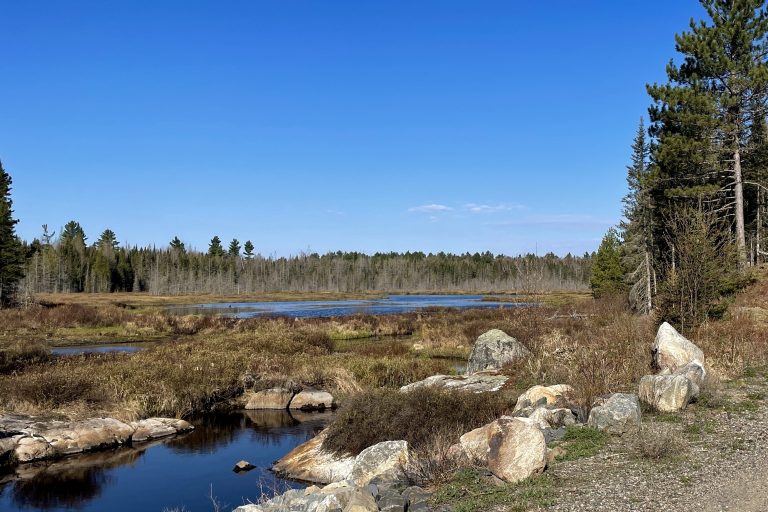 Craig Lake State Park
Michigan's most remote state park: six wild lakes, moose and hike-in campsites at the end of a very rough road in the Upper Peninsula.
-
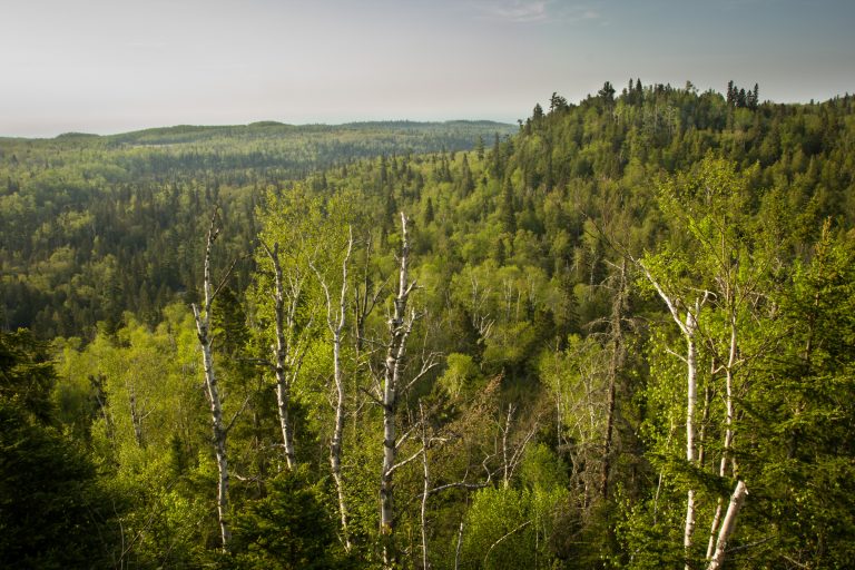 George H. Crosby Manitou State Park
Minnesota's first backpack-only park: a wild volcanic canyon of waterfalls on the Manitou River, on the Superior Hiking Trail.
-
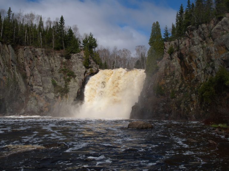 Tettegouche State Park
Lake Superior cliffs, the Baptism River's High Falls and inland lakes on Minnesota's North Shore, crossed by the Superior Hiking Trail.
-
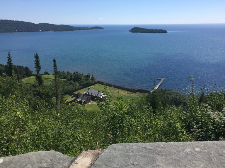 Grand Portage National Monument
A reconstructed fur-trade depot on Lake Superior and the 8.5-mile (13.7 km) Grand Portage trail, near Thunder Bay.
Straight-line distance between park centres. Road distance is usually longer.
Looking for somewhere closer to home?
See every park and monument within a day’s drive of where you are.