

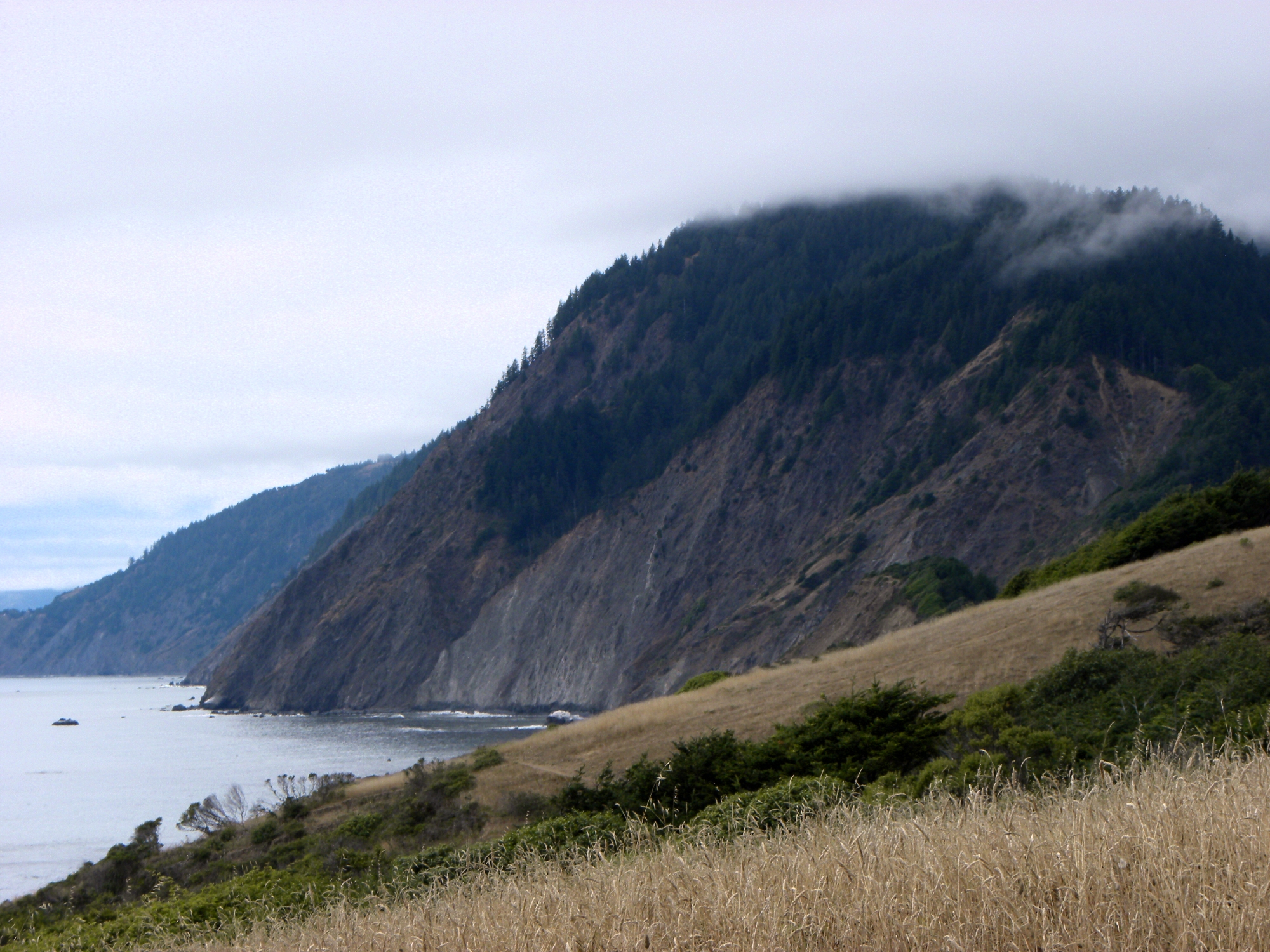
Sinkyone Wilderness State Park
Fast facts
- Setting: the southern part of the Lost Coast, a 60-mile (97 km) stretch of roadless shore that also includes the King Range National Conservation Area
- Signature route: the Lost Coast Trail between Usal Beach and Needle Rock
- History: the homeland of the Sinkyone people, who lived here for thousands of years
- Gateway: Garberville and Redway (north), Leggett and Fort Bragg (south)
- Managed by: California State Parks
The landscape
Sinkyone is one of the wildest stretches of the California coast: steep, forested ridges plunging to black-sand coves and rocky points, with no highway anywhere near. Redwood and Douglas fir groves fill the gullies, and grassy bluffs overlook the Pacific. Roosevelt elk graze near Needle Rock, and black bears, mountain lions and seabirds live along the shore.
Best time to go
Late spring through fall is the best time, though fog is common in summer. Winter brings heavy rain, and the access roads can become impassable.
Getting there and around
Both ends of the park are reached on long, rough roads. The north end, at Needle Rock, is reached from Redway on Briceland Road; the south end, at Usal Beach, from Highway 1. Hikers usually arrange a shuttle between the two and walk the Lost Coast Trail in between, typically over two to four days.
Things to do
The Sinkyone section of the Lost Coast Trail is a demanding backpack with constant climbs and descents between beaches and ridges, and campsites in groves and on bluffs. Day hikers explore from Needle Rock or Usal Beach. Tide pools, elk and empty beaches are the rewards.
Staying safe
The trail is steeper and harder than its length suggests, so plan short days and carry plenty of water. Access roads are narrow, steep and unpaved; check conditions and drive slowly. Never turn your back on the ocean, where sneaker waves are common. Watch for ticks and poison oak, store food from bears, and carry a satellite messenger since there is no cell service.
Know before you go
This page is a general overview, not a live conditions report, so confirm road conditions, closures and camping rules with California State Parks before you go.
- Coordinates
- 39.9856, -123.9245
- Magnetic declination
- 13.5° E (2026)
Set this declination on your compass, then align it to the map's north lines; it is the angle between true north and magnetic north, refreshed each year.
How declination works, and how to navigate with a map and compass
A spread of the park’s main places shows straight away, and the rest appear as you zoom in. You can also search above, or pick any place from the lists below, and the map will go to it. Places in bold, marked , have a short description.
Getting there 1
Ranger station
On the trail 14
Route
Campgrounds
Sights 5
Viewpoint
Beaches
Peak
Map data comes from third-party sources and may be incomplete or out of date, so carry a current official map (terms).
Looking for one of these closer to home?Destinations near me by trip type →
- Best seasons
- Late spring, Summer, Fall
- Difficulty
- Moderate to strenuous
- Access / trailheads
- North end (Needle Rock): Briceland Road about 36 miles (58 km) west of Redway and Garberville, with the last 3.5 miles (5.6 km) unpaved, steep and narrow. South end (Usal Beach): from Highway 1 near mile marker 90.88, about 15 miles (24 km) west of Leggett, then about 6 miles (10 km) of steep unpaved road.
- Water
- Streams along the trail; treat all water. Some dry up in late summer.
- Cell / satellite coverage
- None. Carry a satellite messenger.
- Nearest ranger / SAR / emergency
- Emergencies: 911 by satellite device.
- Permits & regulations
- Camping fees apply and are paid by self-registration or reservation; check with California State Parks for current backcountry rules.
- Leave No Trace
- Camp in designated sites, store food from bears, respect Sinkyone cultural sites and pack out all waste.
January
February
March
April
May
June
July
- Day-to-night swing of 32°F (18°C)Day-to-night swing of 18°C (32°F)
August
- Day-to-night swing of 33°F (18°C)Day-to-night swing of 18°C (33°F)
September
- Day-to-night swing of 33°F (18°C)Day-to-night swing of 18°C (33°F)
October This month
November
December
What to bring depends on your trip: how long you’re out, where you sleep, and how far you go from the road. The planner builds the list for yours.
Plan a trip here →Averages for 1991–2020 from NOAA U.S. Climate Normals, measured at the Richardson Gr Sp station, 8 miles (12 km)12 km (8 miles) away at 503 feet (153 m)153 m (503 feet). Higher trails run colder, by about 3.5°F for every 1,000 ft (2°C per 300 m)2°C for every 300 m (3.5°F per 1,000 ft) of climb. Daylight runs from sunrise to sunset on the 15th, on the park’s own clock, for a level horizon. Valleys and slopes facing away from the sun are in shade earlier.
Nearby parks
-
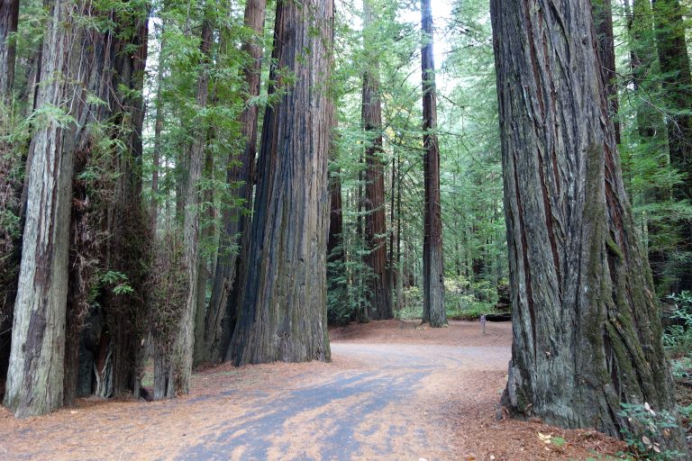 Humboldt Redwoods State Park
The largest remaining old-growth redwood forest in the world, along the Avenue of the Giants and the Eel River.
-
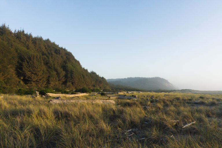 Prairie Creek Redwoods State Park
Roosevelt elk in the meadows, Fern Canyon's green walls and old-growth redwoods on California's North Coast.
-
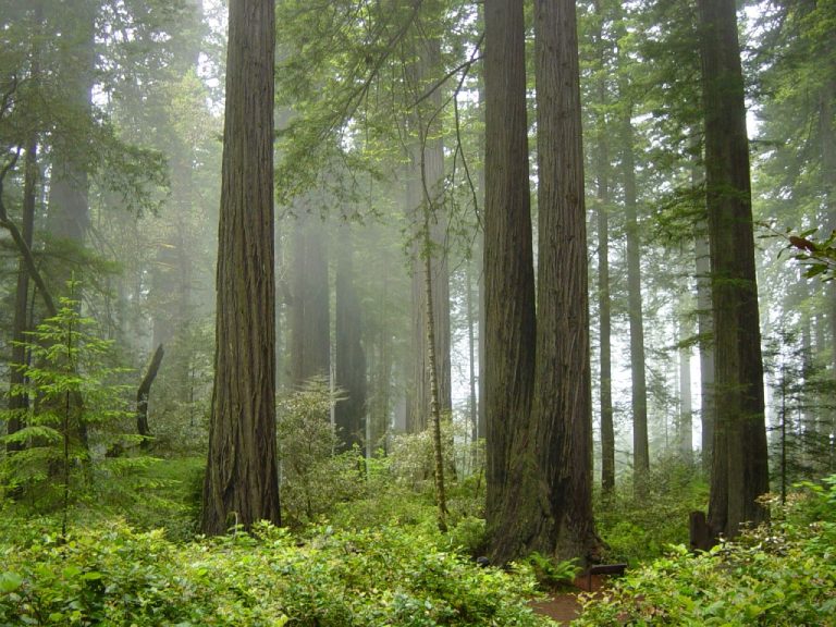 Redwood National Park
The tallest trees on Earth in old-growth redwood groves on California's North Coast, with elk and wild beaches.
-
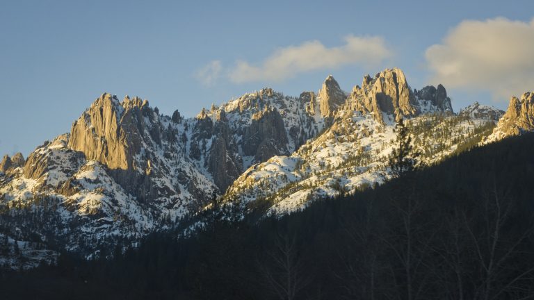 Castle Crags State Park
Granite spires 6,000 feet (1,830 m) high above the Sacramento River, with the Pacific Crest Trail and views of Shasta.
Straight-line distance between park centres. Road distance is usually longer.
Looking for somewhere closer to home?
See every park and monument within a day’s drive of where you are.