

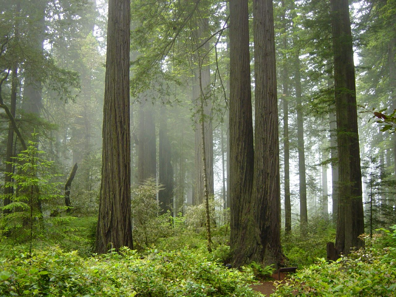
Redwood National Park
Redwood National and State Parks protect the tallest living things on Earth, coast redwoods that soar past 350 feet (110 m), along a wild stretch of far Northern California coast. Managed jointly by the National Park Service and California State Parks, this misty realm of ancient groves, fern canyons, elk-grazed prairies and rugged shoreline is a place built to make you feel small.
Fast facts
- Established: national park 1968; joined with state parks in a cooperative system in 1994
- Size: about 139,000 acres (563 km²) across the national and state parks combined
- The trees: coast redwoods, the tallest trees on the planet (over 350 ft / 110 m)
- World Heritage: a UNESCO World Heritage Site and Biosphere Reserve
- Gateways: Crescent City and Orick, California
- Managed by: National Park Service and California State Parks
The landscape
The parks stitch together old-growth redwood groves, second-growth forest under restoration, the Smith and Klamath rivers, open coastal prairies and a dramatic Pacific shoreline of sea stacks and driftwood beaches. Fog off the ocean feeds the giant trees, ferns carpet the canyons, and the wildlife includes Roosevelt elk on the prairies, black bears, and whales and sea lions offshore.
Best time to go
Summer and early fall bring the driest, mildest weather, though coastal fog is common year-round and part of the magic. Spring is green and lush with high rivers; winter is wet and quiet, with powerful surf and the chance of storms. The groves are moody and beautiful in any season, so pack for damp coastal conditions whenever you come.
Getting there and around
US-101 runs the length of the parks along the coast, connecting Crescent City, the groves and Orick, with scenic detours like Newton B. Drury Parkway and the Coastal Drive leading into old growth. A vehicle is the practical way to move between the widely spread units, with trailheads branching off the highway and side roads.
Things to do
Walk among giants on the Lady Bird Johnson and Stout Grove loops, wander Fern Canyon’s green walls, and watch Roosevelt elk on the prairies at Elk Meadow. Longer trails climb to Tall Trees Grove (permit required) and the coast, scenic drives thread the old growth, and the beaches and river mouths reward quiet exploration and wildlife watching.
Staying safe
The coast is cold and unforgiving. Watch for sneaker waves and rip currents, never turn your back on the surf, and mind big tides on the beaches. Keep well back from Roosevelt elk, especially in rut and calving seasons, and store food from black bears. Trails can be slick with fog and rain, so wear good footwear and stay on paths to protect the redwoods’ shallow roots.
Know before you go
There is no entrance fee for the national park, but some old-growth highlights like Tall Trees Grove require a free permit, and the state-park campgrounds should be reserved ahead. This page is a general overview, not a live conditions report; always confirm current conditions, permits and closures with the National Park Service and California State Parks before your trip.
- Coordinates
- 41.4480, -124.0043
- Magnetic declination
- 13.8° E (2026)
Set this declination on your compass, then align it to the map's north lines; it is the angle between true north and magnetic north, refreshed each year.
A spread of the park’s main places shows straight away, and the rest appear as you zoom in. You can also search above, or pick any place from the lists below, and the map will go to it.
Getting there 2
Visitor centre
Ranger station
On the trail 15
Trailheads
Campgrounds
Picnic sites
Sights 15
Viewpoints
Waterfall
Beachs
Heritage site
Islands
Peaks
Map data comes from third-party sources and may be incomplete or out of date, so carry a current official map (terms).
- Best seasons
- Summer, Early fall
- Difficulty
- Easy to strenuous
- Access / trailheads
- US-101 runs the length of the parks along California’s far north coast; Crescent City and Orick are the main hubs, with scenic side roads into the groves.
- Water
- Streams and rivers throughout; filter or treat all backcountry water.
- Cell / satellite coverage
- Spotty cell service along the coast and little in the groves. Carry a map.
- Nearest ranger / SAR / emergency
- Contact park rangers or county dispatch; life-threatening emergencies: 911.
- Permits & regulations
- No entrance fee for the national park; some old-growth areas (like Tall Trees Grove) require a free permit, and the parks are jointly managed with California State Parks.
- Leave No Trace
- Stay on trails to protect shallow redwood roots, keep well back from elk, pack out all waste, and follow Leave No Trace.
January
February
March
April
May
June
July
August
September This month
October
November
December
What to bring depends on your trip: how long you’re out, where you sleep, and how far you go from the road. The planner builds the list for yours.
Plan a trip here →Averages for 1991–2020 from NOAA U.S. Climate Normals, measured at the Orick Prairie Creek Park station, 11 miles (18 km) away at 160 feet (49 m).