

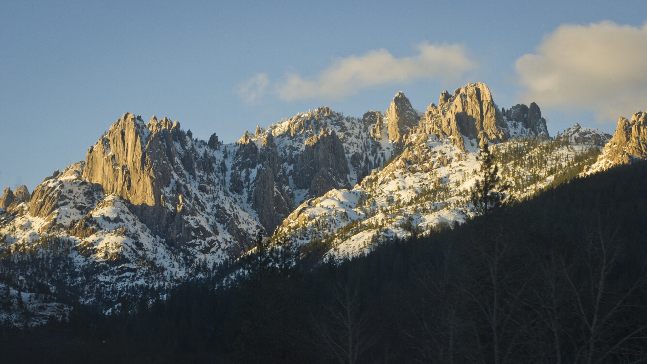
Castle Crags State Park
Fast facts
- Setting: granite spires more than 170 million years old, rising to about 6,000 feet (1,830 m)
- Trails: 28 miles (45 km), plus the Pacific Crest Trail
- Neighbour: the Castle Crags Wilderness, in Shasta-Trinity National Forest
- Gateway: Dunsmuir, 6 miles (10 km) north
- Managed by: California State Parks
The landscape
Castle Crags is a cluster of sheer, pale granite spires rising above the forested canyon of the upper Sacramento River. From the high points, Mount Shasta fills the view to the north. Mixed conifer forest covers the lower slopes, and Castle Dome and the Crags themselves stand above the trees. Black bears, deer and peregrine falcons live here.
Best time to go
Spring and fall are the best seasons for hiking the crags. Summer is hot on the exposed granite, and wildfire smoke is common in late summer. Winter can bring snow to the higher trails.
Getting there and around
The park sits right beside Interstate 5, south of Dunsmuir. Roads lead to the campground, river picnic areas and the Vista Point, and trails climb from there toward the Crags. The Pacific Crest Trail passes through the park.
Things to do
The Crags Trail climbs steeply to Castle Dome, with sweeping views of the spires and Mount Shasta. Shorter walks lead to Vista Point and along Root Creek. Climbers tackle the granite, backpackers continue into the Castle Crags Wilderness or along the PCT, and the Sacramento River offers fishing and swimming.
Staying safe
The Crags Trail is steep and exposed, and hot in summer: start early and carry plenty of water. Watch for rattlesnakes and poison oak. Use the food lockers in the campground, since black bears are present. Check fire restrictions and smoke conditions in late summer. Leave a trip plan for longer hikes.
Know before you go
This page is a general overview, not a live conditions report, so confirm current conditions, fire restrictions and reservations with California State Parks before you go.
- Coordinates
- 41.1649, -122.3137
- Magnetic declination
- 13.5° E (2026)
Set this declination on your compass, then align it to the map's north lines; it is the angle between true north and magnetic north, refreshed each year.
How declination works, and how to navigate with a map and compass
A spread of the park’s main places shows straight away, and the rest appear as you zoom in. You can also search above, or pick any place from the lists below, and the map will go to it. Places in bold, marked , have a short description.
Getting there 1
Park entrance
On the trail 9
Trailhead
Route
Campgrounds
Picnic site
Sights 2
Viewpoint
Peak
Map data comes from third-party sources and may be incomplete or out of date, so carry a current official map (terms).
Looking for one of these closer to home?Destinations near me by trip type →
- Best seasons
- Spring, Summer, Fall
- Difficulty
- Easy to strenuous
- Access / trailheads
- Off Interstate 5 at exit 724, about 6 miles (10 km) south of Dunsmuir and 48 miles (77 km) north of Redding.
- Water
- Water at the campground; carry plenty on the crags trails.
- Cell / satellite coverage
- Fair near I-5, patchy on the trails.
- Nearest ranger / SAR / emergency
- Emergencies: 911.
- Permits & regulations
- Day-use fees apply. Campsites are reserved through ReserveCalifornia. Check fire restrictions before using a stove or fire outside the developed campground.
- Leave No Trace
- Camp in developed sites or follow wilderness rules beyond the park, use the food lockers, and pack out all waste.
January
- Below-freezing nights
February
- Below-freezing nights
March
April
May
June
- Day-to-night swing of 31°F (17°C)Day-to-night swing of 17°C (31°F)
July
- Hot days
- Day-to-night swing of 36°F (20°C)Day-to-night swing of 20°C (36°F)
August
- Day-to-night swing of 37°F (21°C)Day-to-night swing of 21°C (37°F)
September
- Day-to-night swing of 38°F (21°C)Day-to-night swing of 21°C (38°F)
October This month
- Day-to-night swing of 32°F (18°C)Day-to-night swing of 18°C (32°F)
November
December
- Below-freezing nights
What to bring depends on your trip: how long you’re out, where you sleep, and how far you go from the road. The planner builds the list for yours.
Plan a trip here →Averages for 1991–2020 from NOAA U.S. Climate Normals, measured at the Dunsmuir Trtmt Pl station, 2 miles (3 km)3 km (2 miles) away at 2,169 feet (661 m)661 m (2,169 feet). Higher trails run colder, by about 3.5°F for every 1,000 ft (2°C per 300 m)2°C for every 300 m (3.5°F per 1,000 ft) of climb. Daylight runs from sunrise to sunset on the 15th, on the park’s own clock, for a level horizon. Valleys and slopes facing away from the sun are in shade earlier.
Nearby parks
-
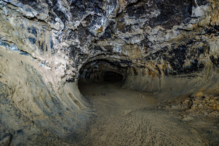 Lava Beds National Monument
More than 800 lava tube caves in far northern California, from a lit, paved cave for families to tight crawls for experienced cavers.
-
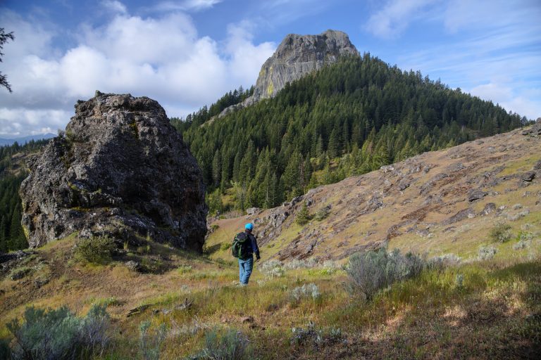 Cascade-Siskiyou National Monument
Where three mountain ranges meet above Ashland, Oregon, with Pacific Crest Trail walks to Hobart Bluff and Pilot Rock.
-
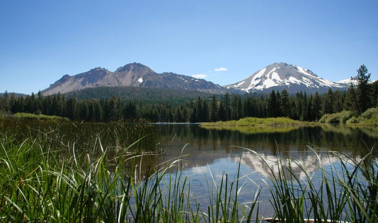 Lassen Volcanic National Park
Every type of volcano in one park in northern California, with Lassen Peak, boiling mud pots and the fumaroles of Bumpass Hell.
-
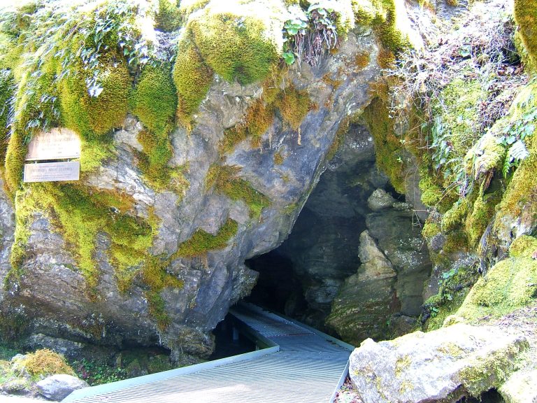 Oregon Caves National Monument and Preserve
A rare marble cave and old-growth forest trails in the Siskiyou Mountains of southwest Oregon.
Straight-line distance between park centres. Road distance is usually longer.
Looking for somewhere closer to home?
See every park and monument within a day’s drive of where you are.