

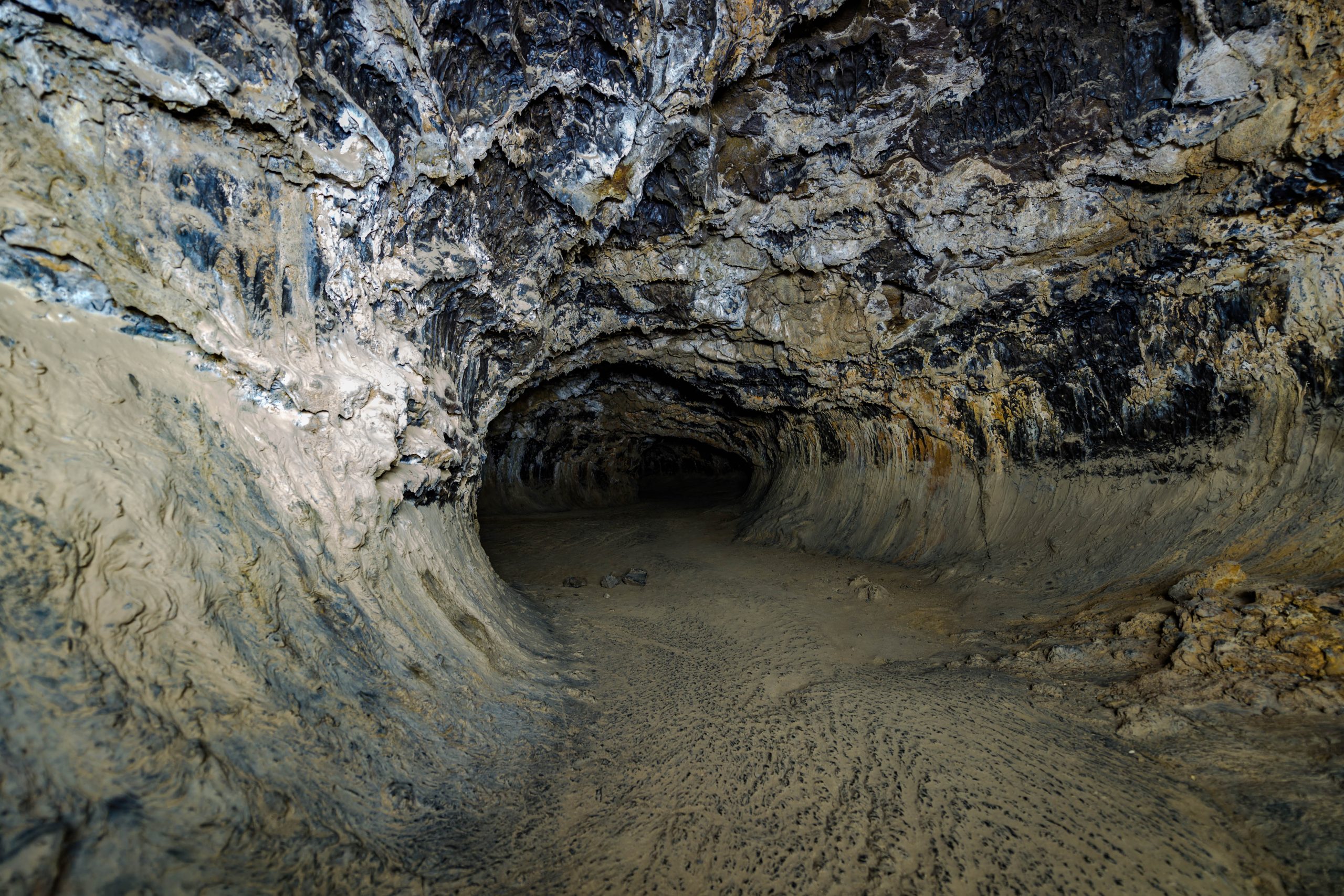
Lava Beds National Monument
Lava Beds, on the flank of the Medicine Lake volcano in far northern California, has more than 800 lava tube caves, a couple of dozen of them open for visitors to explore on their own. Families start in a lit cave with a paved floor, and experienced cavers crawl through tight, dark passages.
Fast facts
- Established: 1925
- Size: about 46,700 acres (189 km²)
- Caves: more than 800 lava tubes, about two dozen developed for visitors
- History: the site of much of the Modoc War of 1872-73
- Gateways: Tulelake, California, and Klamath Falls, Oregon
- Managed by: the National Park Service
The landscape
Over the last half-million years, eruptions of the Medicine Lake shield volcano sent rivers of lava down its slopes, and many hollowed into tubes. Cinder cones, spatter cones and lava flows break the sagebrush, and the high desert sits at about 4,000 to 5,700 feet (1,220 to 1,740 m). Tule Lake and its wildlife refuge lie to the north, and Petroglyph Point holds one of the largest rock art panels in California.
Best time to go
Late spring through fall. Summer highs average 75-80°F (24-27°C), and cave temperatures stay cool year-round. Snow is possible in any month, winter highs average 40°F (4°C), and morning fog is common from autumn to spring.
Getting there and around
Lava Beds is remote, about 30 miles (48 km) south of Tulelake by road and about an hour and a half from Klamath Falls. Roads wind through mountains and farmland, and services are few. The visitor center sits at the start of the Cave Loop Road.
Things to do
Start with Mushpot Cave, next to the visitor center, which has lights, a paved floor and signs. Other caves along the Cave Loop Road are rated from easy to challenging: some are walk-through tubes, and others require crouching or crawling. The short Schonchin Butte trail climbs about 500 feet (150 m) to a fire lookout with wide views, and Captain Jack’s Stronghold trail tours the Modoc War sites.
Experienced cavers tackle the tighter, longer caves, with low ceilings, breakdown piles (heaps of fallen rock) and ice. The Lava Beds wilderness offers quiet, trackless desert hiking.
Staying safe
Caves are dark and cold, with sharp rock and low ceilings. Carry at least two lights per person, wear a helmet and sturdy shoes, and dress warmly; knee pads and gloves help. Never cave alone. Ice can linger on cave floors into summer. On the surface, carry water and watch for rattlesnakes.
Know before you go
An entrance fee applies (America the Beautiful pass accepted). Everyone entering a cave needs a free caving permit from the visitor center, which includes screening for white-nose syndrome, a disease that kills bats; some caves close seasonally to protect them. Indian Well Campground is the only campground. This page is a general overview, not a live conditions report, so confirm cave status with the National Park Service before you go.
- Coordinates
- 41.7732, -121.4924
- Magnetic declination
- 13.5° E (2026)
Set this declination on your compass, then align it to the map's north lines; it is the angle between true north and magnetic north, refreshed each year.
How declination works, and how to navigate with a map and compass
A spread of the park’s main places shows straight away, and the rest appear as you zoom in. You can also search above, or pick any place from the lists below, and the map will go to it. Places in bold, marked , have a short description.
Getting there 2
Park entrance
Visitor centre
On the trail 1
Campground
Sights 77
Viewpoints
Heritage sites
Points of interest
Peaks 23
Map data comes from third-party sources and may be incomplete or out of date, so carry a current official map (terms).
Looking for one of these closer to home?Destinations near me by trip type →
- Best seasons
- Late spring, Summer, Fall
- Difficulty
- Easy to strenuous (depending on cave)
- Access / trailheads
- About 30 miles (48 km) south of Tulelake, California; remote roads with few services.
- Water
- At the visitor center and campground. None on trails or in caves.
- Cell / satellite coverage
- Little to none.
- Nearest ranger / SAR / emergency
- Emergencies: 911. Visitor center: 530-667-8113.
- Permits & regulations
- Entrance fee (America the Beautiful pass accepted). Free caving permit with white-nose syndrome screening; seasonal cave closures for bats.
- Leave No Trace
- Decontaminate gear before caves, stay on marked routes, never touch cave formations or rock art, and pack out everything.
January
- Below-freezing nights
February
- Below-freezing nights
March
- Below-freezing nights
April
- Below-freezing nights
May
June
- Day-to-night swing of 32°F (18°C)Day-to-night swing of 18°C (32°F)
July
- Day-to-night swing of 33°F (18°C)Day-to-night swing of 18°C (33°F)
August
- Day-to-night swing of 35°F (19°C)Day-to-night swing of 19°C (35°F)
September
- Day-to-night swing of 33°F (18°C)Day-to-night swing of 18°C (33°F)
October This month
- Day-to-night swing of 30°F (17°C)Day-to-night swing of 17°C (30°F)
November
- Below-freezing nights
December
- Below-freezing nights
What to bring depends on your trip: how long you’re out, where you sleep, and how far you go from the road. The planner builds the list for yours.
Plan a trip here →Averages for 1991–2020 from NOAA U.S. Climate Normals, measured at the Lava Beds Nat Monument station, 4 miles (7 km)7 km (4 miles) away at 4,775 feet (1,455 m)1,455 m (4,775 feet). Higher trails run colder, by about 3.5°F for every 1,000 ft (2°C per 300 m)2°C for every 300 m (3.5°F per 1,000 ft) of climb. Daylight runs from sunrise to sunset on the 15th, on the park’s own clock, for a level horizon. Valleys and slopes facing away from the sun are in shade earlier.
Nearby parks
-
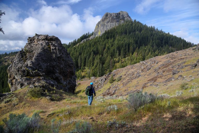 Cascade-Siskiyou National Monument
Where three mountain ranges meet above Ashland, Oregon, with Pacific Crest Trail walks to Hobart Bluff and Pilot Rock.
-
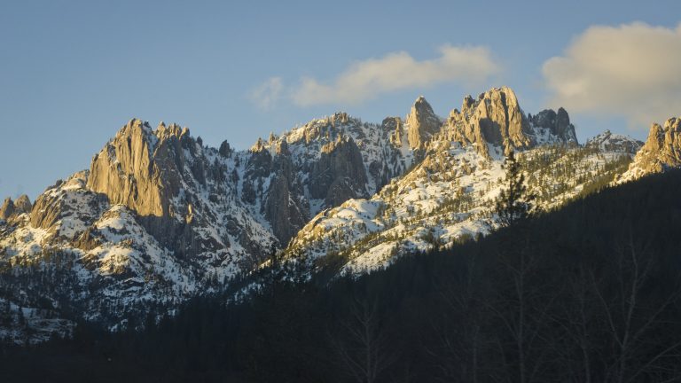 Castle Crags State Park
Granite spires 6,000 feet (1,830 m) high above the Sacramento River, with the Pacific Crest Trail and views of Shasta.
-
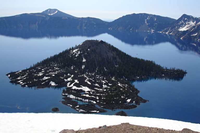 Crater Lake National Park
The deepest lake in the U.S., 1,943 feet (592 m), filling a collapsed volcano in Oregon's Cascades, circled by a 33-mile (53 km) rim drive.
-
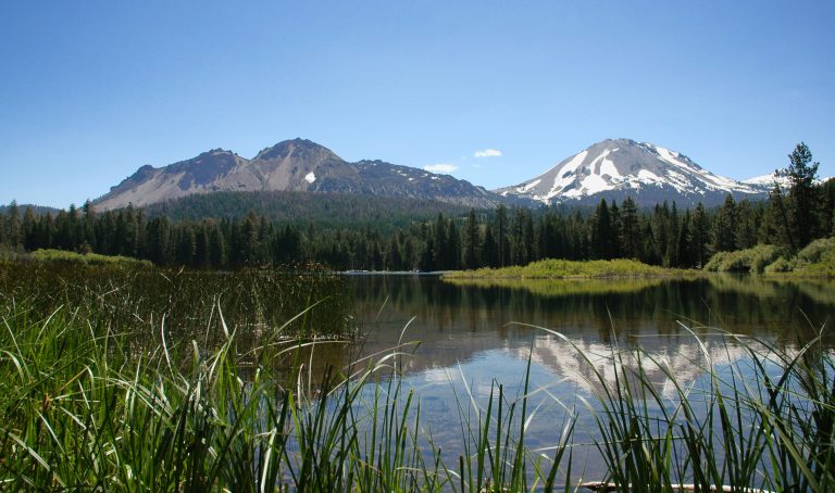 Lassen Volcanic National Park
Every type of volcano in one park in northern California, with Lassen Peak, boiling mud pots and the fumaroles of Bumpass Hell.
Straight-line distance between park centres. Road distance is usually longer.
Looking for somewhere closer to home?
See every park and monument within a day’s drive of where you are.