

Shenandoah National Park
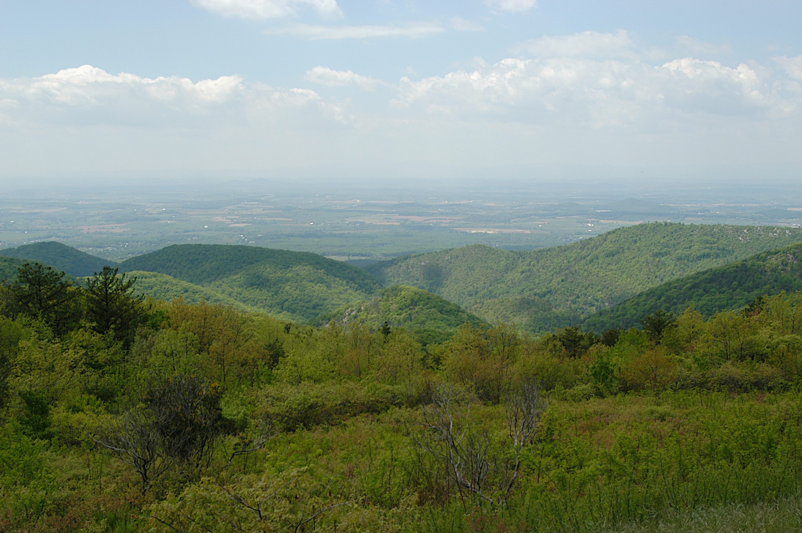
Shenandoah is a long, green ribbon of the Blue Ridge Mountains just west of Washington, DC, a park defined by the 105-mile (169 km) Skyline Drive that rides its crest, past overlook after overlook of the rolling Virginia Piedmont and the Shenandoah Valley. Cascading waterfalls, wildflower-filled hollows, abundant black bears and blazing fall color make it one of the East’s most beloved escapes.
Fast facts
- Established: 1935
- Size: about 200,000 acres (800 km²) in Virginia’s Blue Ridge
- Skyline Drive: a 105-mile (169 km) scenic road along the crest with 75 overlooks
- Trails: over 500 miles (800 km), including 101 miles (163 km) of the Appalachian Trail
- Gateways: Front Royal and Waynesboro, Virginia
- Managed by: National Park Service
The landscape
The park protects a slice of the ancient, rounded Blue Ridge, forested ridges and hollows, rocky summits like Old Rag and Hawksbill, and streams that tumble over dozens of waterfalls. Once farmed and now returned to woodland, it is a recovering wilderness rich in black bears, deer, wildflowers and birds, with the Skyline Drive stringing its highlights together along the spine.
Best time to go
Spring brings wildflowers and full waterfalls; fall is the marquee season, when the hardwoods turn brilliant and Skyline Drive fills with leaf-peepers. Summer is warm, green and hazy, cooler along the ridge, with afternoon storms. Winter is quiet and can be icy, with sections of Skyline Drive closing in bad weather.
Getting there and around
Shenandoah is entered at four points along Skyline Drive, Front Royal in the north, Thornton Gap, Swift Run Gap, and Rockfish Gap near Waynesboro in the south. A vehicle is essential to drive the ridge and reach the many trailheads and overlooks; the drive itself, with its low speed limit, is a destination in its own right.
Things to do
Drive Skyline Drive for the overlooks, hike to waterfalls like Dark Hollow and Whiteoak Canyon, and scramble the famous rock summit of Old Rag. Walk a stretch of the Appalachian Trail, watch for black bears and deer in the hollows, camp at the ridge-top campgrounds, and enjoy the wildflowers or fall color in season.
Staying safe
Black bears are common, so store food properly and never approach them. Streams and waterfalls can run fast and the rocks are slippery, weather and fog change quickly along the ridge, and trails like Old Rag involve steep, rocky scrambling. Wear good footwear, carry water, and watch for ticks in the warm months.
Know before you go
A park pass is required, and backcountry camping needs a free permit. Skyline Drive can close in winter weather, so check conditions. This page is a general overview, not a live conditions report; always confirm current road status, conditions and closures with the National Park Service before your trip.
- Coordinates
- 38.4719, -78.5048
- Magnetic declination
- 9.8° W (2026)
Set this declination on your compass, then align it to the map's north lines; it is the angle between true north and magnetic north, refreshed each year.
A spread of the park’s main places shows straight away, and the rest appear as you zoom in. You can also search above, or pick any place from the lists below, and the map will go to it.
Getting there 10
Park entrances
Ranger stations
On the trail 32
Trailheads
Campgrounds
Hut or shelters
Picnic sites
Sights 101
Viewpoints
Waterfalls
Heritage sites
Peaks 30
Map data comes from third-party sources and may be incomplete or out of date, so carry a current official map (terms).
- Best seasons
- Spring, Fall (foliage)
- Difficulty
- Easy to strenuous
- Access / trailheads
- In Virginia’s Blue Ridge Mountains, entered from four points along Skyline Drive, which runs 105 miles (169 km) down the crest. Nearest hubs include Front Royal and Waynesboro.
- Water
- Streams and developed areas; filter or treat backcountry water.
- Cell / satellite coverage
- Patchy cell service along the ridge. Carry a map.
- Nearest ranger / SAR / emergency
- Contact park rangers; life-threatening emergencies: 911.
- Permits & regulations
- Per-vehicle entry fee (America the Beautiful pass accepted); backcountry camping requires a free permit.
- Leave No Trace
- Use bear-proof storage, stay on trails, pack out all waste, and follow Leave No Trace.
January
- Below-freezing nights
February
- Below-freezing nights
March
- Below-freezing nights
April
May
June
July
August
September This month
October
November
- Below-freezing nights
December
- Below-freezing nights
What to bring depends on your trip: how long you’re out, where you sleep, and how far you go from the road. The planner builds the list for yours.
Plan a trip here →Averages for 1991–2020 from NOAA U.S. Climate Normals, measured at the Big Meadows station at 3,540 feet (1,079 m). Conditions change with elevation: expect it colder higher up.