

Qausuittuq National Park
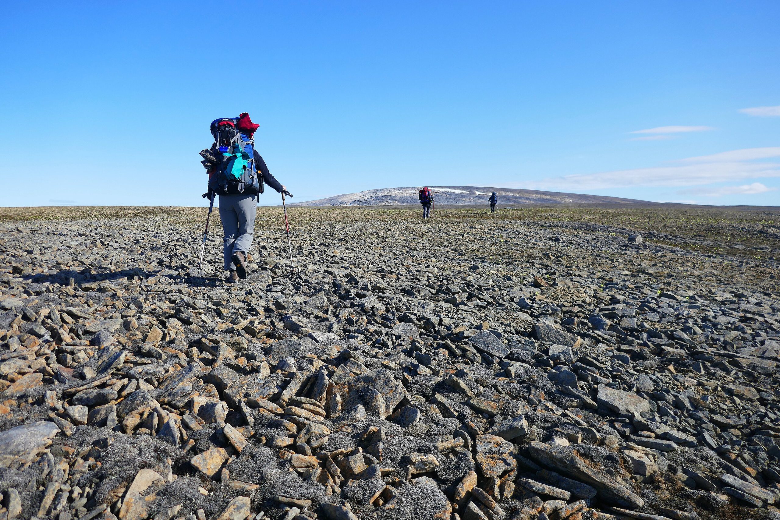
Qausuittuq is one of Canada’s newest and most remote national parks, a High Arctic wilderness on Bathurst Island, protecting critical habitat for the endangered Peary caribou. Its name means “place where the sun doesn’t rise” in Inuktitut, a fitting name for a stark, wind-scoured land of polar desert, sea ice and profound solitude far above the Arctic Circle.
Fast facts
- Established: 2015
- Size: about 4,200 square miles (11,000 km²) on Bathurst Island, Nunavut
- Wildlife: endangered Peary caribou, muskoxen and polar bears
- Setting: High Arctic polar desert and coast
- Access point: Resolute (Qausuittuq), Nunavut (charter only)
- Managed by: Parks Canada, with the Qikiqtani Inuit
The landscape
This is High Arctic polar desert, low, rolling tundra, gravel plains, wetlands and a coast fringed by sea ice much of the year. Almost treeless and locked in cold, it receives little precipitation yet supports Peary caribou, muskoxen, Arctic foxes and, in summer, nesting birds, while polar bears range the coast. The land is austere, immense and largely untouched by people.
Best time to go
The only realistic window is the brief High Arctic summer, when there is 24-hour daylight and the land is (marginally) accessible, though it remains cold, windy and prone to snow. Outside summer the region is locked in darkness and extreme cold, and access is effectively impossible.
Getting there and around
Access is by chartered aircraft from Resolute, one of the northernmost communities in Canada; there are no roads, trails or facilities. Once on the ground, travel is on foot across open tundra, and every visit is a fully self-supported or outfitter-guided expedition requiring serious Arctic experience.
Things to do
This is a park for true wilderness expeditions, wildlife and bird watching, hiking the tundra, and experiencing one of the most remote landscapes in North America. There are no visitor facilities, so the reward is solitude, the chance to see rare Arctic wildlife, and immersion in an Inuit homeland.
Staying safe
The Arctic here is unforgiving: extreme cold and wind, polar bears, and total remoteness with no services or quick rescue. Self-reliance is absolute. Carry a satellite communicator, travel with proper equipment and, ideally, a licensed outfitter, and be prepared to be completely on your own for the duration.
Know before you go
A Parks Canada pass and registration are required, and access is by charter air with full self-sufficiency or an outfitter. This page is a general overview, not a live conditions report; always confirm current access, conditions and options with Parks Canada before your trip.
- Coordinates
- 76.1322, -101.4879
- Magnetic declination
- 8.0° W (2026)
Set this declination on your compass, then align it to the map's north lines; it is the angle between true north and magnetic north, refreshed each year.
A spread of the park’s main places shows straight away, and the rest appear as you zoom in. You can also search above, or pick any place from the lists below, and the map will go to it.
Sights 33
Islands
Peaks 18
Map data comes from third-party sources and may be incomplete or out of date, so carry a current official map (terms).
- Best seasons
- Summer (fly-in, guided)
- Difficulty
- Strenuous (extreme remote Arctic)
- Access / trailheads
- On Bathurst Island in the High Arctic of Nunavut. Access is by chartered aircraft from Resolute (Qausuittuq); there are no roads or scheduled service.
- Water
- Streams and melt; filter or treat all water.
- Cell / satellite coverage
- No cell service. Carry a satellite communicator and file a trip plan.
- Nearest ranger / SAR / emergency
- Coordinate through Parks Canada and the community of Resolute; response is extremely limited.
- Permits & regulations
- A Parks Canada pass and registration are required; access is by charter aircraft, and visits are self-sufficient or outfitter-supported from Resolute.
- Leave No Trace
- Pack out everything, protect fragile tundra and wildlife, respect Inuit heritage, and follow strict Leave No Trace.
January
- Below freezing all day
February
- Below freezing all day
March
- Below freezing all day
April
- Below freezing all day
May
- Below freezing all day
June
- Below-freezing nights
July
August
- Below-freezing nights
September This month
- Below freezing all day
October
- Below freezing all day
November
- Below freezing all day
December
- Below freezing all day
What to bring depends on your trip: how long you’re out, where you sleep, and how far you go from the road. The planner builds the list for yours.
Plan a trip here →Averages for 1981–2010 from Environment Canada climate normals, measured at the Resolute station, 150 miles (241 km) away at 222 feet (68 m). That is the nearest station with long-term records, so treat these as a regional guide.