

Mojave Trails National Monument
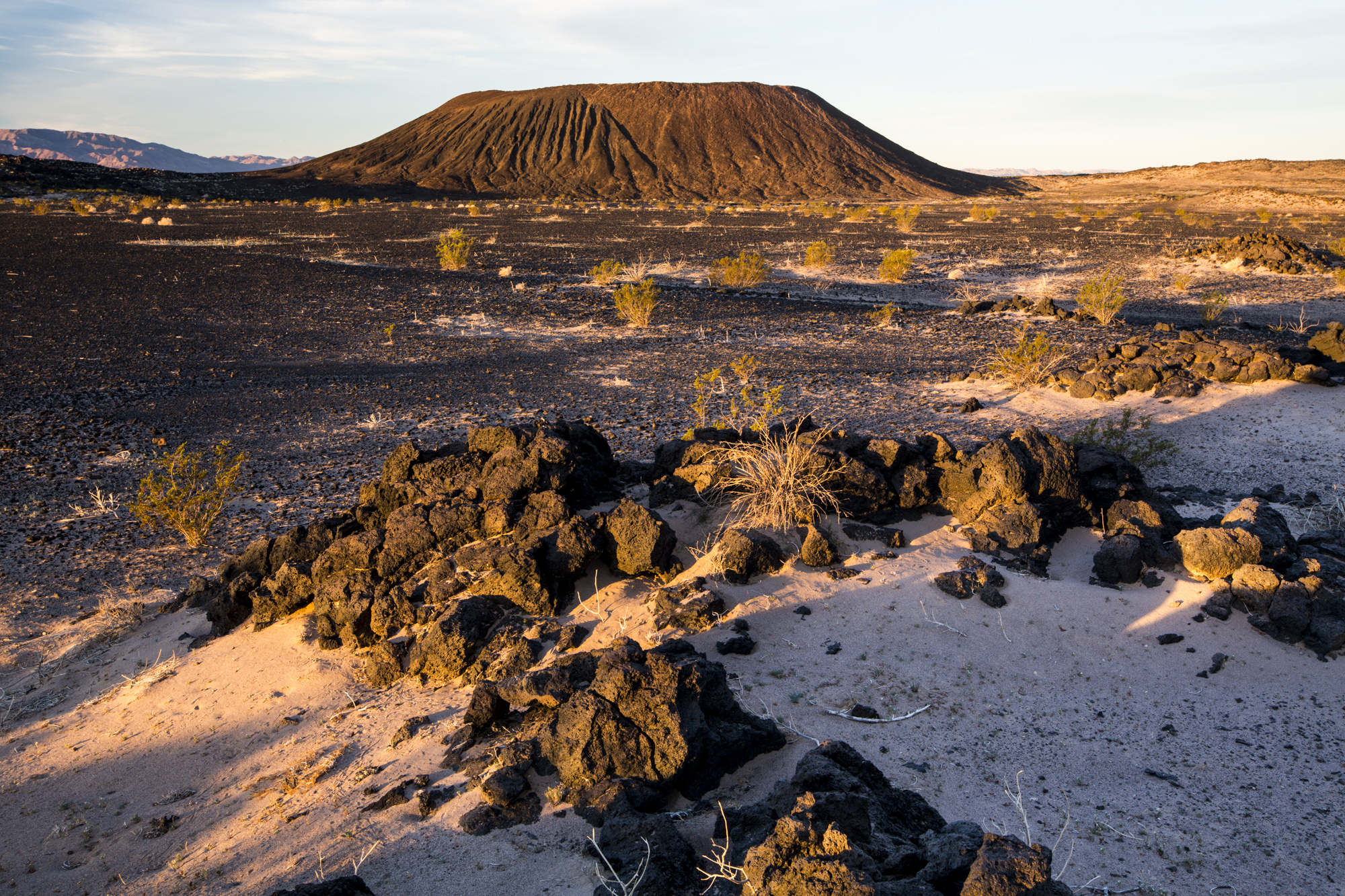
Mojave Trails is 1.6 million acres (6,470 km²) of open desert between Joshua Tree and Mojave National Preserve, crossed by the longest undeveloped stretch of old Route 66. Its best-known hike climbs a young cinder cone, and the rest is wilderness of mountain ranges, dunes and lava flows with almost no facilities.
Fast facts
- Established: 2016
- Size: about 1.6 million acres (6,470 km²), one of the largest national monuments in the lower 48
- Wilderness: more than 350,000 acres (1,420 km²) of designated wilderness
- Signature features: Amboy Crater, Pisgah Crater, the Cadiz Dunes and the Marble Mountains
- Gateways: Barstow, Needles, Twentynine Palms and Ludlow
- Managed by: the Bureau of Land Management
The landscape
Mojave Trails links mountain ranges, dry lakes, sand dunes and lava fields across the eastern Mojave Desert. Amboy Crater is a young cinder cone surrounded by black lava. The Marble Mountains hold trilobite fossils more than 500 million years old, and desert tortoises and bighorn sheep live in the ranges.
Best time to go
Late fall through early spring. Summer is dangerous, regularly over 110°F (43°C). Spring wildflowers can be spectacular after a wet winter.
Getting there and around
Old Route 66 runs east-west through the monument between Ludlow and Needles, and I-40 runs along its north edge. Amboy Crater is just off Route 66 west of Amboy, with a day-use area. Most other areas are reached by dirt roads that need high clearance. Services are very few.
Things to do
The trail to Amboy Crater is about 3 to 4 miles (5 to 6.4 km) round trip across the lava, climbing into the crater and onto its rim. Drive Route 66 through the ghost towns of Amboy and Cadiz.
The rest of the monument is for experienced desert travellers: long wilderness walks in ranges like the Marble and Old Woman mountains, the dunes of the Cadiz Dunes Wilderness, and Pisgah Crater’s lava field, all with no trails, water or signs.
Staying safe
Heat is the main hazard, and it kills; avoid hiking from May to September and carry a gallon (4 L) of water per person per day. Services are hours apart, so carry extra fuel, water and a spare tire. Flash floods can cross roads after storms.
Know before you go
There is no entrance fee. Collecting fossils in the Marble Mountains is limited to small amounts for personal use under BLM rules. This page is a general overview, not a live conditions report, so confirm road conditions with the Bureau of Land Management before you go.
- Coordinates
- 34.6450, -115.5296
- Magnetic declination
- 10.8° E (2026)
Set this declination on your compass, then align it to the map's north lines; it is the angle between true north and magnetic north, refreshed each year.
How declination works, and how to navigate with a map and compass
A spread of the park’s main places shows straight away, and the rest appear as you zoom in. You can also search above, or pick any place from the lists below, and the map will go to it. Places in bold, marked , have a short description.
Getting there 3
Airstrips
On the trail 4
Trailhead
Campgrounds
Sights 24
Viewpoint
Lake
Heritage sites
Points of interest
Peaks 17
Map data comes from third-party sources and may be incomplete or out of date, so carry a current official map (terms).
Looking for one of these closer to home?Destinations near me by trip type →
- Best seasons
- Late fall, Winter, Early spring
- Difficulty
- Easy to strenuous
- Access / trailheads
- Old Route 66 between Ludlow and Needles; I-40 along the north edge. Most areas by high-clearance dirt roads.
- Water
- None. Carry all you need.
- Cell / satellite coverage
- Patchy near I-40; none in most of the monument.
- Nearest ranger / SAR / emergency
- Emergencies: 911. BLM Needles Field Office: 760-326-7000.
- Permits & regulations
- No entrance fee. BLM rules limit fossil and rock collecting.
- Leave No Trace
- Stay on existing roads, camp on previously used sites, and leave rocks and fossils beyond the legal limit where they lie.
January
February
March
- Day-to-night swing of 31°F (17°C)Day-to-night swing of 17°C (31°F)
April
- Day-to-night swing of 31°F (17°C)Day-to-night swing of 17°C (31°F)
May
- Hot days
- Day-to-night swing of 31°F (17°C)Day-to-night swing of 17°C (31°F)
June
- Extreme daytime heat
- Day-to-night swing of 32°F (18°C)Day-to-night swing of 18°C (32°F)
July
- Extreme daytime heat
- Day-to-night swing of 32°F (18°C)Day-to-night swing of 18°C (32°F)
August
- Extreme daytime heat
- Day-to-night swing of 32°F (18°C)Day-to-night swing of 18°C (32°F)
September
- Extreme daytime heat
- Day-to-night swing of 33°F (18°C)Day-to-night swing of 18°C (33°F)
October This month
- Day-to-night swing of 33°F (18°C)Day-to-night swing of 18°C (33°F)
November
- Day-to-night swing of 30°F (17°C)Day-to-night swing of 17°C (30°F)
December
What to bring depends on your trip: how long you’re out, where you sleep, and how far you go from the road. The planner builds the list for yours.
Plan a trip here →Averages for 1991–2020 from NOAA U.S. Climate Normals, measured at the Baker station, 22 miles (35 km)35 km (22 miles) away at 962 feet (293 m)293 m (962 feet). Higher trails run colder, by about 3.5°F for every 1,000 ft (2°C per 300 m)2°C for every 300 m (3.5°F per 1,000 ft) of climb. Daylight runs from sunrise to sunset on the 15th, on the park’s own clock, for a level horizon. Valleys and slopes facing away from the sun are in shade earlier.
Nearby parks
-
 Joshua Tree National Park
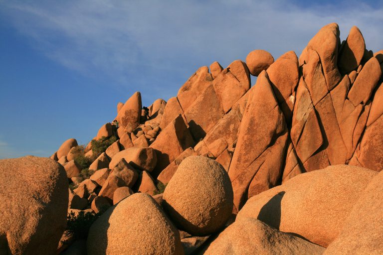
Where the Mojave and Colorado deserts meet: Joshua trees, granite boulders for climbing and dark desert skies.
-
 Sand to Snow National Monument
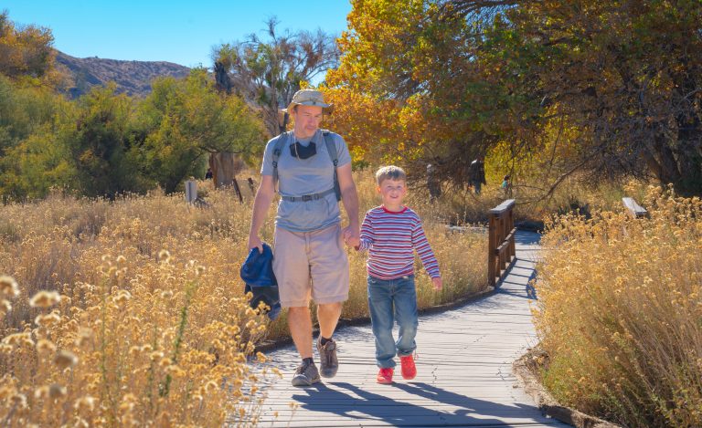
Desert birding walks and Southern California’s highest summit, San Gorgonio, in one monument between Palm Springs and Joshua Tree.
-
 Mount San Jacinto State Park
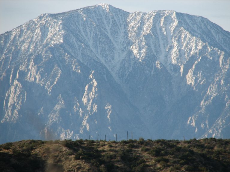
The top of California's state parks, 10,834 feet (3,302 m) above Palm Springs, reached by tram or by trail from Idyllwild.
-
 Anza-Borrego Desert State Park
California's largest state park: palm oases, slot canyons, badlands and wildflower blooms in the Colorado Desert east of San Diego.
Straight-line distance between park centres. Road distance is usually longer.
Looking for somewhere closer to home?
See every park and monument within a day’s drive of where you are.