

Lost Maples State Natural Area
Fast facts
- Setting: canyons of the upper Sabinal River in the western Hill Country
- Elevation: about 1,800 to 2,250 feet (550 to 690 m)
- Trails: more than 10 miles (16 km), with primitive backpacking campsites
- Gateway: Vanderpool and Kerrville
- Managed by: Texas Parks and Wildlife
The landscape
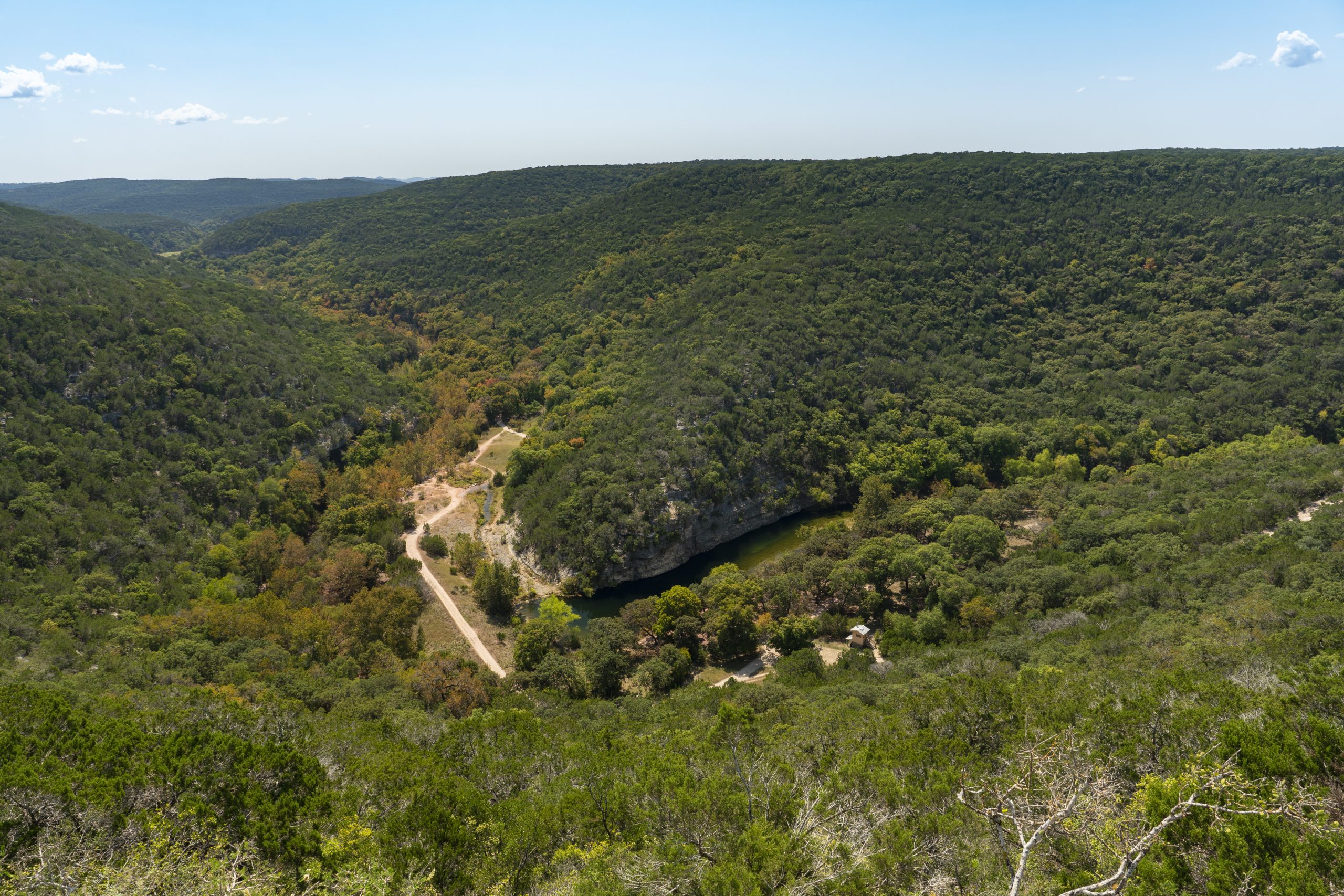
Lost Maples protects a relict stand of bigtooth maples, trees left behind from a cooler past, sheltered in steep limestone canyons along the Sabinal River. In fall, the maples turn red and orange, a rare sight in Texas. Clear streams, springs and pools line the canyons. Birds such as the golden-cheeked warbler nest here, along with white-tailed deer and gray foxes.
Best time to go
Late October to mid-November is peak colour and peak crowds. Spring brings wildflowers and birds. Winter is quiet and mild. Summer is hot.
Getting there and around
The park is north of Vanderpool on Ranch Road 187, in hilly country west of San Antonio. Trails start near the day-use area and campground and follow the canyons, climbing to a loop along the top of the bluffs.
Things to do
The Maple Trail and East and West Trail loops lead through the maples and along the river, with a climb to overlooks on the bluff top. Backpackers stay at primitive campsites. Birding, photography and fishing fill the rest.
Staying safe
Trails are rocky and steep in places; stay on them and don’t climb rocks or hillsides. Canyons flood during storms. Carry plenty of water in warm months. There is no cell service in the natural area, so leave a trip plan.
Know before you go
In October and November, reserve day passes ahead: the park fills daily. This page is a general overview, not a live conditions report, so confirm trail status and reservations with Texas Parks and Wildlife before you go.
- Coordinates
- 29.8196, -99.5869
- Magnetic declination
- 4.1° E (2026)
Set this declination on your compass, then align it to the map's north lines; it is the angle between true north and magnetic north, refreshed each year.
How declination works, and how to navigate with a map and compass
A spread of the park’s main places shows straight away, and the rest appear as you zoom in. You can also search above, or pick any place from the lists below, and the map will go to it. Places in bold, marked , have a short description.
Getting there 1
Ranger station
On the trail 8
Route
Campgrounds
Picnic site
Sights 4
Viewpoints
Points of interest
Map data comes from third-party sources and may be incomplete or out of date, so carry a current official map (terms).
Looking for one of these closer to home?Destinations near me by trip type →
- Best seasons
- Fall (foliage, late October to November), Spring, Winter
- Difficulty
- Easy to moderate
- Access / trailheads
- About 5 miles (8 km) north of Vanderpool on Ranch Road 187, in the western Hill Country.
- Water
- Water at the developed campground; carry plenty on trails.
- Cell / satellite coverage
- None in the natural area.
- Nearest ranger / SAR / emergency
- Emergencies: 911 (no cell service in the natural area; nearest signal toward Vanderpool).
- Permits & regulations
- The park reaches capacity daily in October and November; reserve day passes online or by calling (512) 389-8900. Primitive campsites are reached by backpacking.
- Leave No Trace
- Stay on designated trails, don't climb on hillsides or walk over maple roots, and pack out all waste.
January
- Below-freezing nights
- Day-to-night swing of 31°F (17°C)Day-to-night swing of 17°C (31°F)
February
- Day-to-night swing of 31°F (17°C)Day-to-night swing of 17°C (31°F)
March
April
May
June
- Hot days
July
- Hot days
August
- Hot days
September
October This month
November
December
- Below-freezing nights
- Day-to-night swing of 32°F (18°C)Day-to-night swing of 18°C (32°F)
What to bring depends on your trip: how long you’re out, where you sleep, and how far you go from the road. The planner builds the list for yours.
Plan a trip here →Averages for 1991–2020 from NOAA U.S. Climate Normals, measured at the Prade Ranch station, 14 miles (22 km)22 km (14 miles) away at 2,052 feet (625 m)625 m (2,052 feet). Higher trails run colder, by about 3.5°F for every 1,000 ft (2°C per 300 m)2°C for every 300 m (3.5°F per 1,000 ft) of climb. Daylight runs from sunrise to sunset on the 15th, on the park’s own clock, for a level horizon. Valleys and slopes facing away from the sun are in shade earlier.
Nearby parks
-
 Enchanted Rock State Natural Area
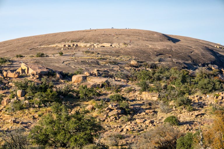
A giant pink granite dome in the Texas Hill Country, with a summit trail, primitive camping and dark night skies.
-
 Pedernales Falls State Park
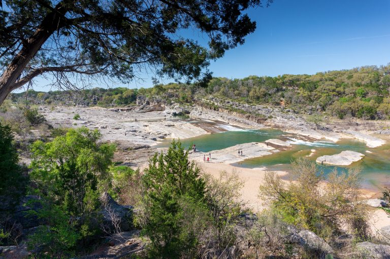
The Pedernales River spilling over tilted limestone ledges in the Hill Country, 30 miles (48 km) from Austin.
-
 Big Bend National Park
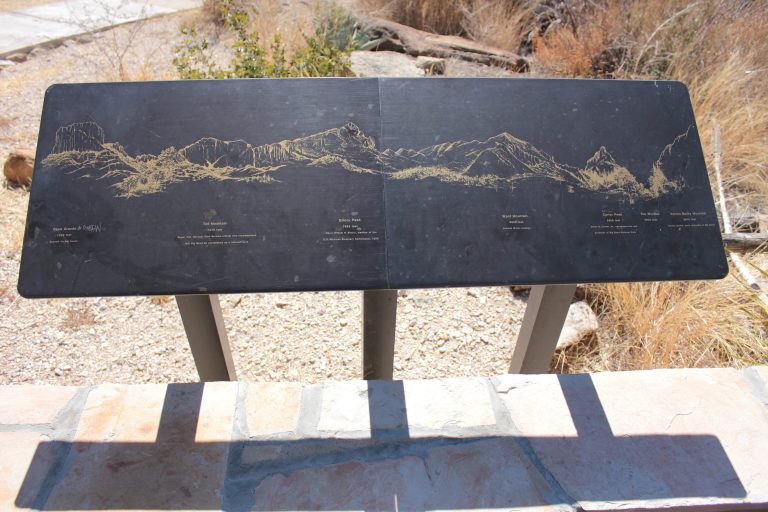
The Chisos Mountains, Chihuahuan Desert and Rio Grande canyons in far west Texas, under some of the darkest skies in the Lower 48.
-
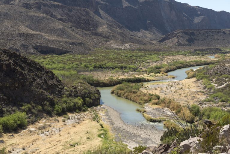 Big Bend Ranch State Park
Texas's biggest state park: remote Chihuahuan Desert canyons, 238 miles (383 km) of trail and very dark skies.
Straight-line distance between park centres. Road distance is usually longer.
Looking for somewhere closer to home?
See every park and monument within a day’s drive of where you are.