

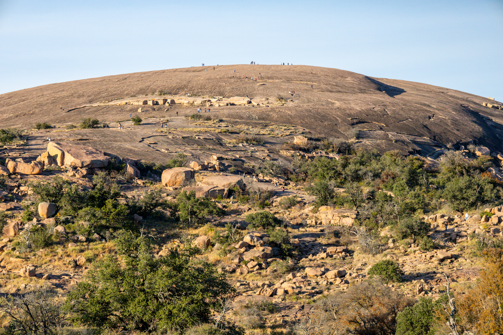
Enchanted Rock State Natural Area
Fast facts
- Signature feature: a pink granite dome rising about 425 feet (130 m) above the surrounding land
- Trails: nearly 21 miles (34 km), including a new backcountry area
- Gateway: Fredericksburg
- Managed by: Texas Parks and Wildlife
The landscape
Enchanted Rock is one of the largest pink granite domes in the United States, a bare mound of rock rising above the oak and mesquite of the Texas Hill Country. The rock creaks at night as it cools, which inspired Tonkawa and Comanche legends. Shallow pools on its surface hold rare plants and fairy shrimp. White-tailed deer, armadillos, many birds and rattlesnakes live here.
Best time to go
Fall, winter and spring are ideal; weekends are very busy and passes sell out. Summer heat on the exposed granite is intense, so go early in the day.
Getting there and around
The park is north of Fredericksburg on Ranch Road 965. Trails start near headquarters. The Summit Trail climbs straight up the dome, and the Loop Trail circles the base. The new backcountry area adds more than 10 miles (16 km) of trail; pick up a permit and map at headquarters.
Things to do
The short, steep Summit Trail is the classic climb, with views across the Hill Country. Climbers use the domes and boulders, backpackers stay at primitive sites, and stargazers come for dark skies.
Staying safe
The granite gets very hot in summer and slippery when wet; the Summit Trail may close in wet weather. Get off the rock when storms approach, since it is fully exposed to lightning. Bring your own water, which is in short supply. Watch for rattlesnakes. Trails close 30 minutes after sunset, except the Loop Trail.
Know before you go
Reserve a day pass before you go. This page is a general overview, not a live conditions report, so confirm trail status and reservations with Texas Parks and Wildlife before you go.
- Coordinates
- 30.5041, -98.8200
- Magnetic declination
- 3.7° E (2026)
Set this declination on your compass, then align it to the map's north lines; it is the angle between true north and magnetic north, refreshed each year.
How declination works, and how to navigate with a map and compass
A spread of the park’s main places shows straight away, and the rest appear as you zoom in. You can also search above, or pick any place from the lists below, and the map will go to it. Places in bold, marked , have a short description.
Getting there 1
Park entrance
On the trail 4
Route
Campgrounds
Sights 5
Peaks
Map data comes from third-party sources and may be incomplete or out of date, so carry a current official map (terms).
Looking for one of these closer to home?Destinations near me by trip type →
- Best seasons
- Fall, Winter, Spring
- Difficulty
- Easy to moderate
- Access / trailheads
- About 18 miles (29 km) north of Fredericksburg on Ranch Road 965.
- Water
- In short supply because of drought; bring your own drinking water.
- Cell / satellite coverage
- Fair on the summit, patchy elsewhere.
- Nearest ranger / SAR / emergency
- Emergencies: 911.
- Permits & regulations
- Day passes frequently sell out; reserve online before you visit. Backcountry area permits and maps are picked up at headquarters. Pets are allowed only in the picnic areas, campgrounds and on the Loop Trail.
- Leave No Trace
- Stay on trails, avoid stepping in the fragile vernal pools on the granite, and pack out all waste.
January
February
March
April
May
June
- Hot days
July
- Hot days
August
- Hot days
September
October This month
November
December
What to bring depends on your trip: how long you’re out, where you sleep, and how far you go from the road. The planner builds the list for yours.
Plan a trip here →Averages for 1991–2020 from NOAA U.S. Climate Normals, measured at the Fredericksburg station, 19 miles (31 km)31 km (19 miles) away at 1,685 feet (514 m)514 m (1,685 feet). Higher trails run colder, by about 3.5°F for every 1,000 ft (2°C per 300 m)2°C for every 300 m (3.5°F per 1,000 ft) of climb. Daylight runs from sunrise to sunset on the 15th, on the park’s own clock, for a level horizon. Valleys and slopes facing away from the sun are in shade earlier.
Nearby parks
-
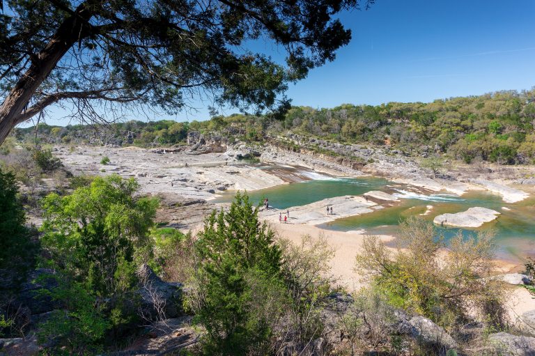 Pedernales Falls State Park
The Pedernales River spilling over tilted limestone ledges in the Hill Country, 30 miles (48 km) from Austin.
-
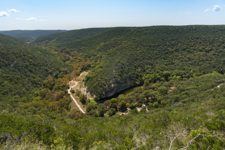 Lost Maples State Natural Area
A hidden stand of bigtooth maples in Hill Country canyons, turning red each fall, with primitive camps above the Sabinal River.
-
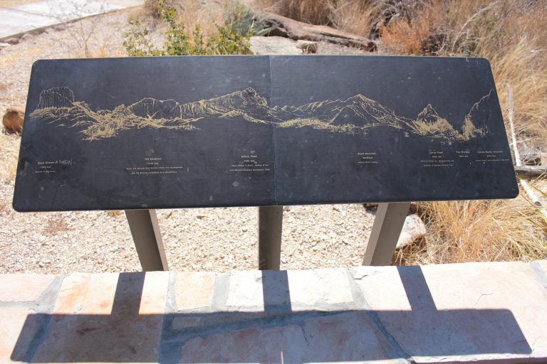 Big Bend National Park
The Chisos Mountains, Chihuahuan Desert and Rio Grande canyons in far west Texas, under some of the darkest skies in the Lower 48.
A day’s drive from Enchanted Rock
Straight-line distance between park centres. Road distance is usually longer.
Looking for somewhere closer to home?
See every park and monument within a day’s drive of where you are.