

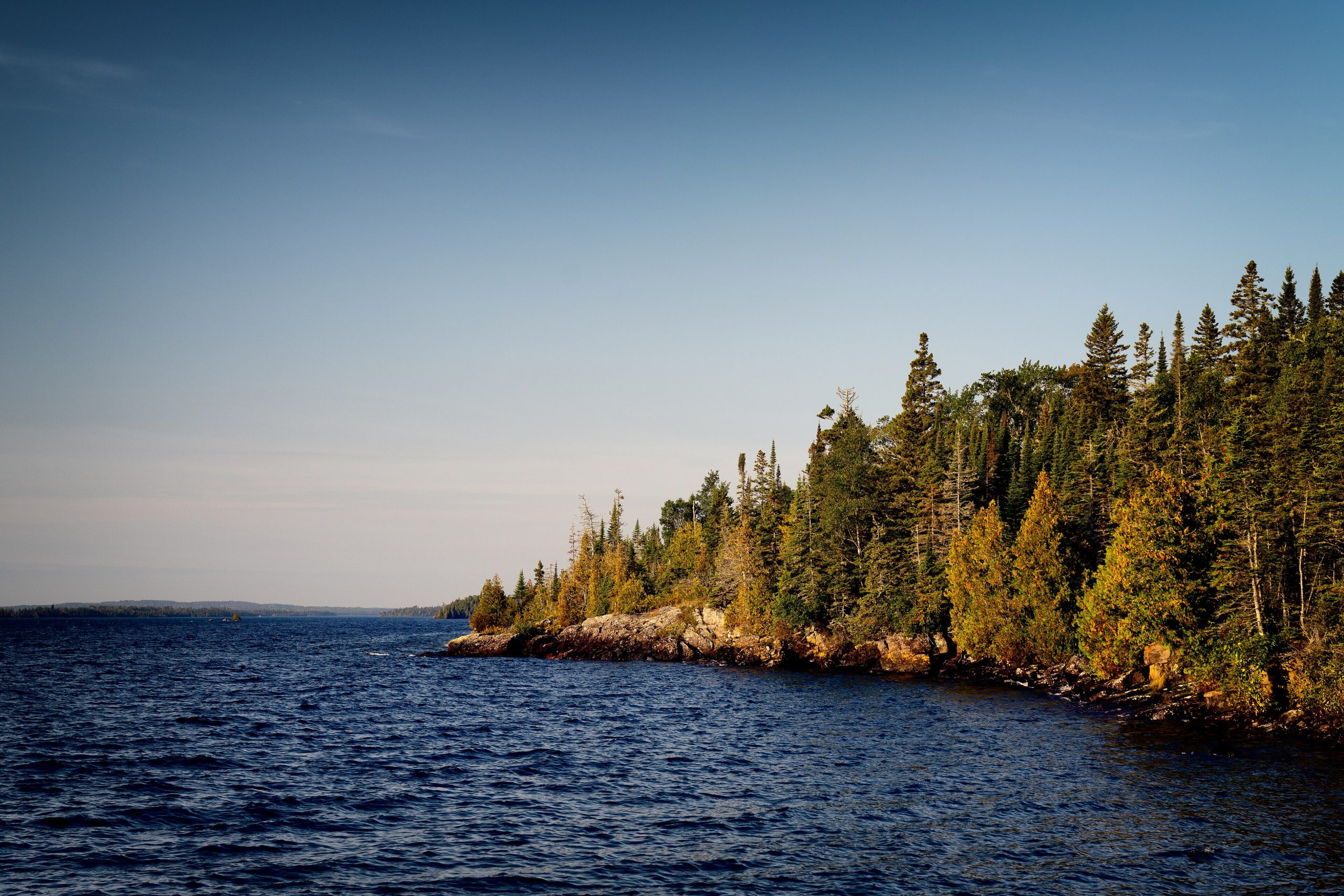
Isle Royale National Park
Isle Royale is one of the most remote and least-visited national parks in the lower 48, a wild, roadless archipelago in the cold expanse of Lake Superior, famous as a living laboratory for its wolves and moose. Reached only by boat or seaplane and closed for half the year, it rewards backpackers and paddlers with deep solitude and a genuine wilderness few ever experience.
Fast facts
- Established: 1940 (wilderness designation 1976)
- Size: about 571,000 acres (2,310 km²), mostly water, around a 45-mile (72 km)-long main island
- Famous for: the longest-running predator-prey study on Earth (wolves and moose)
- Recognition: an International Biosphere Reserve
- Access points: Houghton and Copper Harbor, Michigan; Grand Portage, Minnesota
- Managed by: National Park Service
The landscape
The park is a long, forested main island ringed by hundreds of smaller isles and reefs, its spine a series of parallel ridges and inland lakes left by ancient lava flows and glaciers. Boreal forest, bog and rocky Lake Superior shoreline cover it, and the wildlife is defined by its isolation, moose that swam over long ago, the wolves that followed, plus beavers, foxes and loons, but no bears or deer.
Best time to go
The park is open only from mid-April through October, with summer the prime and busiest window for hiking, paddling and settled (if still cool) weather. Late spring and early fall are quieter, buggier or colder respectively, and offer more solitude. From November through mid-April the park closes entirely to protect the winter wildlife study and for safety.
Getting there and around
Getting there is part of the adventure: ferries and a seaplane run from Houghton and Copper Harbor in Michigan and Grand Portage in Minnesota, with crossings of several hours on open Lake Superior. There are no roads or vehicles on the island, so once ashore at Rock Harbor or Windigo you travel entirely on foot or by kayak, canoe or small boat.
Things to do
Backpacking the island’s 165 miles (266 km) of trail (the Greenstone Ridge traverse is the classic), is the signature experience, staying at designated wilderness campsites. Paddlers explore sheltered coves and inland lakes by kayak and canoe, anglers fish the lakes, and day visitors from Rock Harbor take short hikes and boat tours. Watching for moose and listening for wolves is the quiet thrill throughout.
Staying safe
Lake Superior is dangerously cold and its crossings can turn rough fast, so respect the water, wear a life jacket, and be ready for hypothermia. The island is remote with no stores and limited help, so carry everything and be self-sufficient. Treat all drinking water carefully, give moose a wide berth (especially cows with calves), and watch for ticks and fast-changing weather.
Know before you go
There is a per-person entrance fee, all overnight visitors need a camping permit, and you must book ferry or seaplane transport well ahead for the short season. Bring all food and gear. Supplies on the island are minimal. This page is a general overview, not a live conditions report; always confirm current transport schedules, conditions and permits with the National Park Service before your trip.
- Coordinates
- 48.0433, -88.7893
- Magnetic declination
- 4.1° W (2026)
Set this declination on your compass, then align it to the map's north lines; it is the angle between true north and magnetic north, refreshed each year.
A spread of the park’s main places shows straight away, and the rest appear as you zoom in. You can also search above, or pick any place from the lists below, and the map will go to it.
Getting there 1
Ranger station
On the trail 49
Campgrounds
Hut or shelters
Sights 30
Viewpoints
Beachs
Point of interests
Islands
Peaks 10
Map data comes from third-party sources and may be incomplete or out of date, so carry a current official map (terms).
- Best seasons
- Summer (park closed Nov–mid-Apr)
- Difficulty
- Moderate to strenuous
- Access / trailheads
- An island in Lake Superior, reached only by ferry or seaplane from Michigan (Houghton, Copper Harbor) or Grand Portage, Minnesota. No vehicles on the island.
- Water
- Treat all water (filter plus care for the hydatid tapeworm risk); Lake Superior and inland lakes are the sources.
- Cell / satellite coverage
- Little to no cell service. Carry a map and, ideally, a satellite messenger.
- Nearest ranger / SAR / emergency
- Contact park rangers at Rock Harbor or Windigo; life-threatening emergencies: 911 where reachable.
- Permits & regulations
- Per-person daily entrance fee; all overnight visitors need a (free) camping permit, and the park is closed from November through mid-April.
- Leave No Trace
- Camp only at designated sites, pack out everything, keep away from moose, and follow Leave No Trace.
January
- Below freezing all day
February
- Below freezing all day
March
- Below-freezing nights
April
- Below-freezing nights
May
June
July
August
September This month
October
November
- Below-freezing nights
December
- Below freezing all day
What to bring depends on your trip: how long you’re out, where you sleep, and how far you go from the road. The planner builds the list for yours.
Plan a trip here →Averages for 1991–2020 from NOAA U.S. Climate Normals, measured at the Copper Harbor Fort Wilkins station, 56 miles (90 km) away at 625 feet (191 m).