

El Malpais National Monument
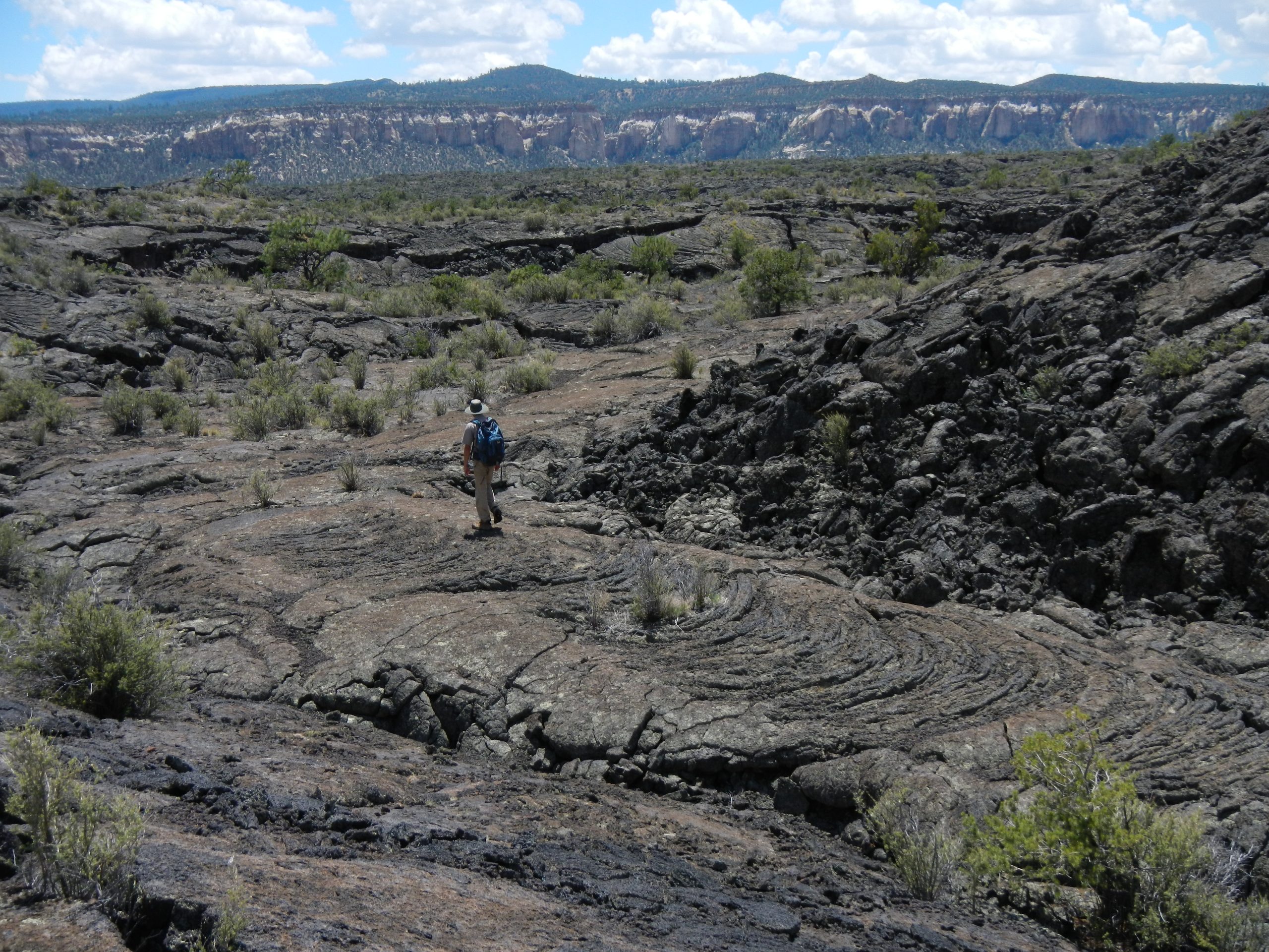
El Malpais, “the badlands” in Spanish, is a volcanic landscape of lava flows, cinder cones and lava tube caves south of Grants, New Mexico. Overlooks and short trails line the highways on its edges, and rough routes cross the lava where there is no shade, no water and few markers.
Fast facts
- Established: 1987
- Size: about 114,000 acres (463 km²)
- Youngest flow: McCartys, among the youngest lava flows in the continental United States
- Historic route: the Zuni-Acoma Trail, an ancient footpath between two pueblos
- Gateway: Grants, on I-40
- Managed by: the National Park Service, with El Malpais National Conservation Area (BLM) next door
The landscape
Lava from dozens of eruptions covers the valley floor in rough black flows, some only a few thousand years old. Cinder cones rise above them, and collapsed lava tubes form long trenches with caves at their ends. Sandstone bluffs line the eastern edge. The monument sits at about 6,500 to 8,000 feet (1,980 to 2,440 m).
Best time to go
Spring and fall are best. Summer averages around 80°F (27°C), with monsoon storms from July. Winter is cool and sunny with occasional snow, and caves hold ice year-round.
Getting there and around
No roads cross the monument. NM 53 runs along the west and north side, from I-40 exit 81, and NM 117 along the east side, from exit 89. The visitor center is in Grants, off exit 85. The Chain of Craters backcountry byway and the road to the Big Tubes area are dirt and need high clearance, especially after rain.
Things to do
Easy stops include Sandstone Bluffs Overlook, with wide views over the lava, and the El Calderon trail, a 3- or 5-mile (5 or 8 km) route past lava tubes and a cinder cone. On summer evenings, bats pour out of a cave along the El Calderon trail. La Ventana, a large sandstone arch, is off NM 117 in the conservation area next door.
Serious hikers cross the Zuni-Acoma Trail, 7.5 miles (12 km) one way over four lava flows, rough and marked by cairns (piles of rocks set as route markers). The Narrows Rim Trail follows the top of the bluffs, the Lava Falls route crosses the youngest flow, and experienced cavers explore lava tubes in the Big Tubes area with a free caving permit, a helmet and at least two light sources.
Staying safe
Lava is sharp and uneven, and routes across it are hard to follow; wear sturdy boots, carry a map and watch for cairns. There is no water on the lava, and summer heat and afternoon lightning are real risks. Caves are dark, cold and have loose rock and ice, so never cave alone.
Know before you go
There is no entrance fee. Caves need a free permit from the park, which screens for white-nose syndrome, a disease that kills bats. Overnight backcountry trips need a free permit. This page is a general overview, not a live conditions report, so confirm cave and road status with the National Park Service before you go.
- Coordinates
- 34.8627, -107.9778
- Magnetic declination
- 8.4° E (2026)
Set this declination on your compass, then align it to the map's north lines; it is the angle between true north and magnetic north, refreshed each year.
How declination works, and how to navigate with a map and compass
A spread of the park’s main places shows straight away, and the rest appear as you zoom in. You can also search above, or pick any place from the lists below, and the map will go to it. Places in bold, marked , have a short description.
On the trail 4
Trailheads
Routes
Sights 28
Viewpoints
Lake
Heritage sites
Points of interest
Peaks 9
Map data comes from third-party sources and may be incomplete or out of date, so carry a current official map (terms).
Looking for one of these closer to home?Destinations near me by trip type →
- Best seasons
- Spring, Fall
- Difficulty
- Easy to strenuous
- Access / trailheads
- NM 53 (I-40 exit 81) on the west and north, NM 117 (exit 89) on the east; visitor center in Grants (exit 85). Dirt roads to Big Tubes and the Chain of Craters need high clearance.
- Water
- None on trails or the lava. Carry all you need.
- Cell / satellite coverage
- Fair along I-40 and near Grants; patchy to none on the lava.
- Nearest ranger / SAR / emergency
- Emergencies: 911. Visitor center: 505-876-2783.
- Permits & regulations
- No entrance fee. Free caving permit (white-nose syndrome screening) and free backcountry permit for overnight trips.
- Leave No Trace
- Stay on routes and cairned trails, never build or move cairns, decontaminate gear before caves, and pack out everything.
January
- Below-freezing nights
- Day-to-night swing of 32°F (18°C)Day-to-night swing of 18°C (32°F)
February
- Below-freezing nights
- Day-to-night swing of 33°F (18°C)Day-to-night swing of 18°C (33°F)
March
- Below-freezing nights
- Day-to-night swing of 37°F (21°C)Day-to-night swing of 21°C (37°F)
April
- Below-freezing nights
- Day-to-night swing of 37°F (21°C)Day-to-night swing of 21°C (37°F)
May
- Day-to-night swing of 39°F (22°C)Day-to-night swing of 22°C (39°F)
June
- Day-to-night swing of 40°F (22°C)Day-to-night swing of 22°C (40°F)
July
- Day-to-night swing of 34°F (19°C)Day-to-night swing of 19°C (34°F)
August
- Day-to-night swing of 34°F (19°C)Day-to-night swing of 19°C (34°F)
September
- Day-to-night swing of 36°F (20°C)Day-to-night swing of 20°C (36°F)
October This month
- Below-freezing nights
- Day-to-night swing of 37°F (21°C)Day-to-night swing of 21°C (37°F)
November
- Below-freezing nights
- Day-to-night swing of 36°F (20°C)Day-to-night swing of 20°C (36°F)
December
- Below-freezing nights
- Day-to-night swing of 34°F (19°C)Day-to-night swing of 19°C (34°F)
What to bring depends on your trip: how long you’re out, where you sleep, and how far you go from the road. The planner builds the list for yours.
Plan a trip here →Averages for 1991–2020 from NOAA U.S. Climate Normals, measured at the Grants Milan Municipal Airport station, 21 miles (34 km)34 km (21 miles) away at 6,520 feet (1,987 m)1,987 m (6,520 feet). Higher trails run colder, by about 3.5°F for every 1,000 ft (2°C per 300 m)2°C for every 300 m (3.5°F per 1,000 ft) of climb. Daylight runs from sunrise to sunset on the 15th, on the park’s own clock, for a level horizon. Valleys and slopes facing away from the sun are in shade earlier.
Nearby parks
-
 Petroglyph National Monument
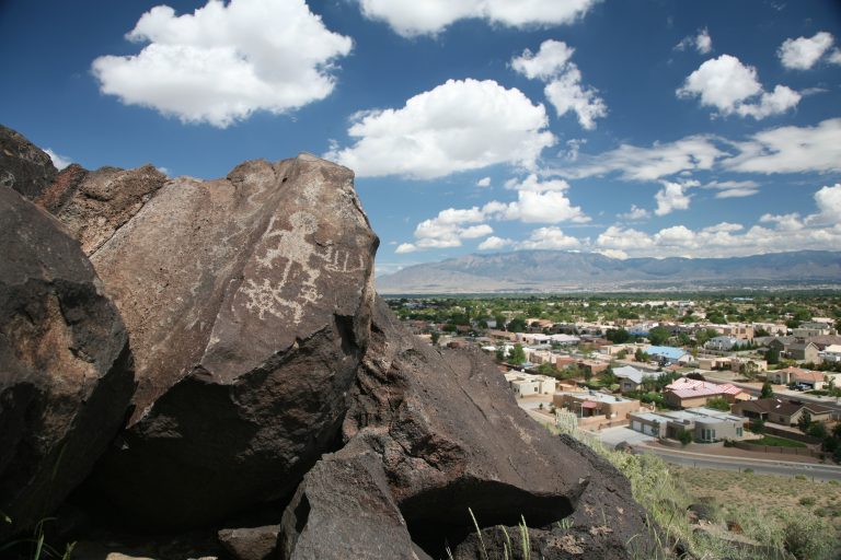
More than 20,000 petroglyphs on Albuquerque’s West Mesa, with short canyon trails and quiet walks among the volcanoes.
-
 Petrified Forest National Park
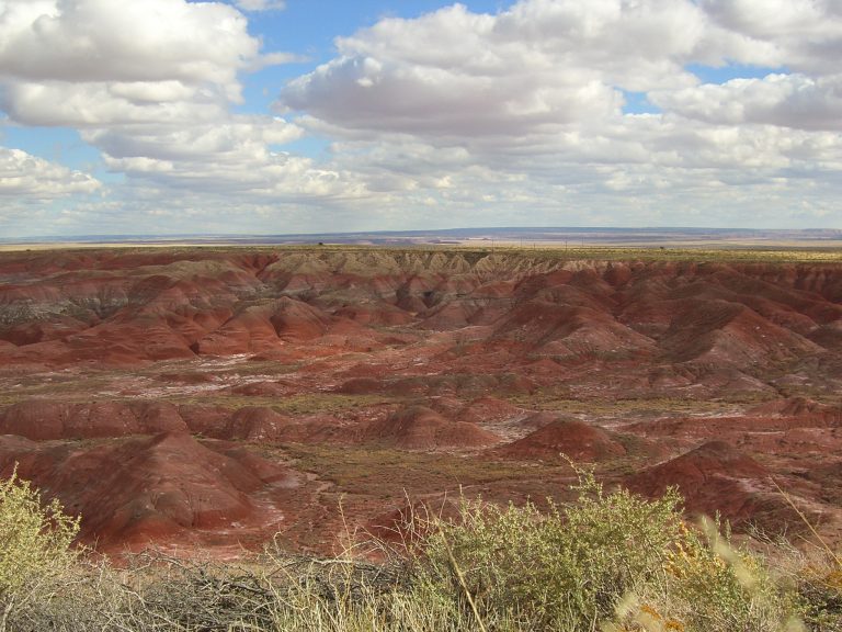
Fossil logs more than 200 million years old, the pastel badlands of the Painted Desert and Route 66 history in northeastern Arizona.
-
 Kasha-Katuwe Tent Rocks National Monument
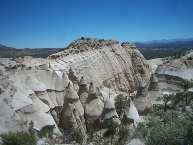
Cone-shaped tent rocks and a narrow slot canyon between Santa Fe and Albuquerque, with a steep climb to a mesa-top view.
-
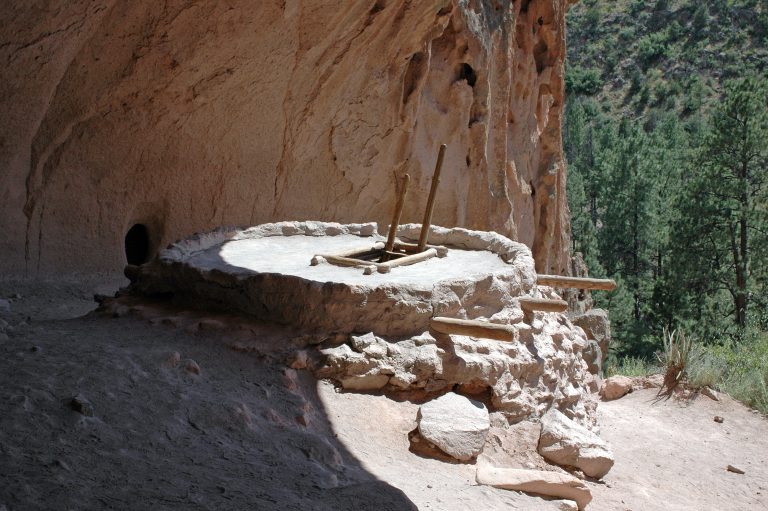 Bandelier National Monument
Cliff dwellings reached by ladder in Frijoles Canyon, and 70-plus miles of backcountry trail across New Mexico’s Pajarito Plateau.
Straight-line distance between park centres. Road distance is usually longer.
Looking for somewhere closer to home?
See every park and monument within a day’s drive of where you are.