

Kasha-Katuwe Tent Rocks National Monument
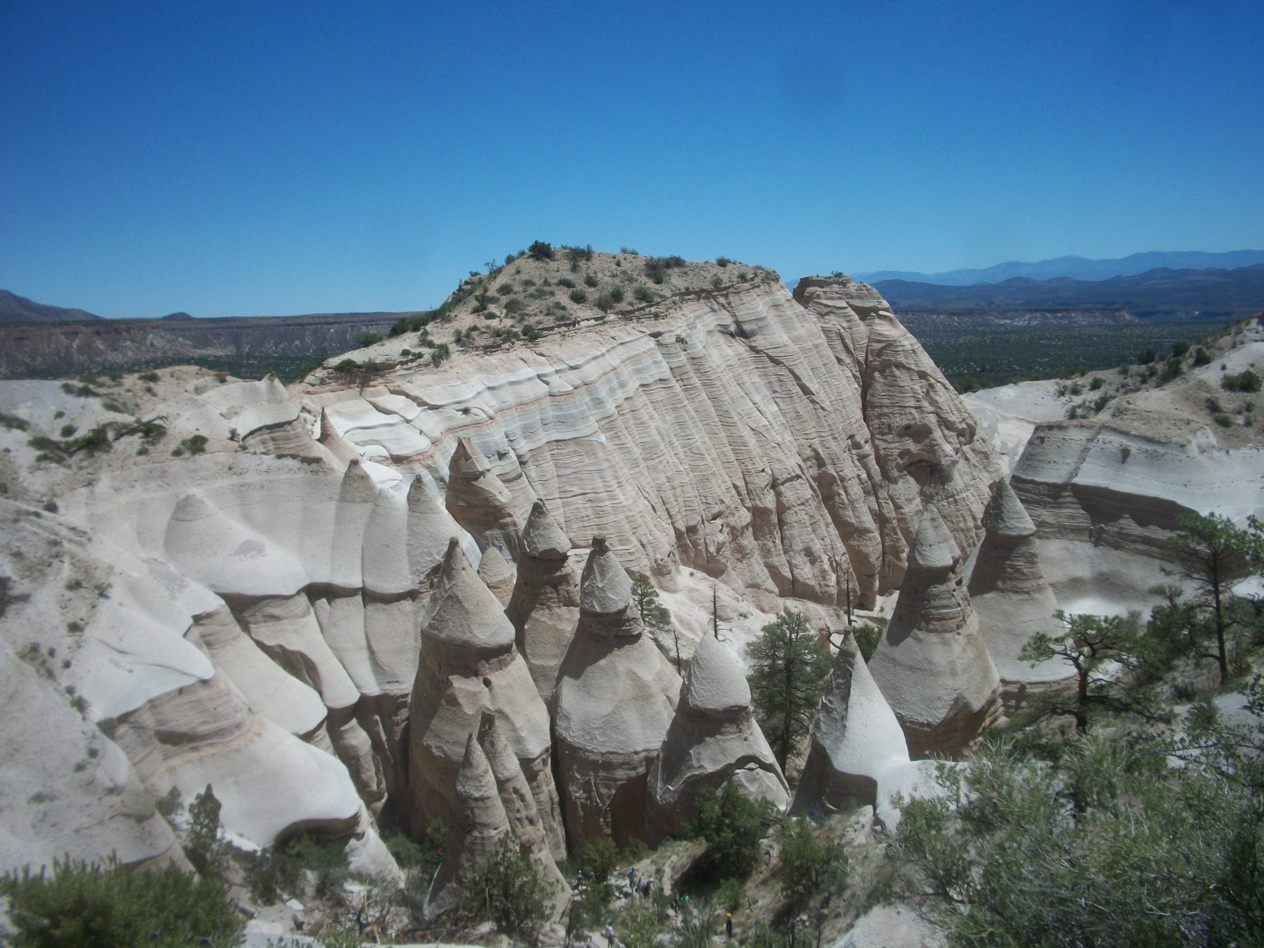
Kasha-Katuwe Tent Rocks is a field of cone-shaped rock towers, some capped with balanced boulders, between Santa Fe and Albuquerque. A short trail winds through a narrow slot canyon and climbs to a mesa top with views of three mountain ranges.
Fast facts
- Established: 2001
- Size: about 4,600 acres (19 km²)
- Name: “white cliffs” in the Keresan language of Cochiti Pueblo
- Tent rocks: cones of volcanic ash and pumice from eruptions 6 to 7 million years ago
- Gateways: Santa Fe, Albuquerque and Cochiti Lake
- Managed by: the Bureau of Land Management with Pueblo de Cochiti
The landscape
Volcanic eruptions in the Jemez Mountains buried the area in ash and pumice more than 1,000 feet (300 m) deep. Erosion has carved it into cone-shaped hoodoos, many with a harder boulder on top that protects the softer rock beneath. A narrow slot canyon cuts through the formations, with ponderosa pine and manzanita growing in its shade. The monument sits at about 5,700 to 6,400 feet (1,740 to 1,950 m).
Best time to go
Spring and fall are best. Summer mornings are cooler before afternoon heat and thunderstorms, and the monument closes in some seasons and on some Pueblo feast days.
Getting there and around
The monument is about 40 miles (64 km) southwest of Santa Fe and 55 miles (89 km) north of Albuquerque, reached from I-25 through Cochiti Pueblo. The access road crosses Pueblo land, and the last few miles are gravel.
Things to do
The Cave Loop Trail is an easy loop of about 1.2 miles (1.9 km) past tent rocks and a small cave. The Slot Canyon Trail branches off it, about 1.5 miles (2.4 km) one way, squeezing through a narrow canyon between towering walls and then climbing a steep 630 feet (192 m) to the mesa top, with views of the Sangre de Cristo, Jemez and Sandia mountains and the Rio Grande valley.
The monument is a short visit, not a long hike; experienced hikers usually pair it with trails in the Jemez Mountains or Bandelier National Monument nearby.
Staying safe
The final climb to the mesa is steep, with loose footing and a narrow squeeze. There is little shade, and summer heat builds fast. Flash floods can run through the slot canyon in storms, so check the forecast. Bring water: there is none on the trail.
Know before you go
Entry is by advance reservation through Recreation.gov, plus an access pass from Pueblo de Cochiti. Dogs and drones are not allowed. The monument opens only on certain days, and hours and closures change, so check before you go. This page is a general overview, not a live conditions report, so confirm reservations and opening days with the Bureau of Land Management before you go.
- Coordinates
- 35.6569, -106.4281
- Magnetic declination
- 7.8° E (2026)
Set this declination on your compass, then align it to the map's north lines; it is the angle between true north and magnetic north, refreshed each year.
How declination works, and how to navigate with a map and compass
A spread of the park’s main places shows straight away, and the rest appear as you zoom in. You can also search above, or pick any place from the lists below, and the map will go to it. Places in bold, marked , have a short description.
Getting there 1
Park entrance
On the trail 3
Routes
Campground
Map data comes from third-party sources and may be incomplete or out of date, so carry a current official map (terms).
- Best seasons
- Spring, Fall
- Difficulty
- Easy to moderate
- Access / trailheads
- From I-25 through Cochiti Pueblo, about 40 miles (64 km) southwest of Santa Fe; last few miles on gravel.
- Water
- None on the trail. Bring all you need.
- Cell / satellite coverage
- Patchy.
- Nearest ranger / SAR / emergency
- Emergencies: 911. BLM Rio Puerco Field Office: 505-761-8700.
- Permits & regulations
- Advance reservation on Recreation.gov plus a Pueblo de Cochiti access pass. No dogs or drones. Open on set days only.
- Leave No Trace
- Stay on the trail, never climb on the tent rocks, respect Pueblo land along the access road, and pack out all waste.
January
- Below-freezing nights
- Day-to-night swing of 30°F (17°C)Day-to-night swing of 17°C (30°F)
February
- Below-freezing nights
- Day-to-night swing of 32°F (18°C)Day-to-night swing of 18°C (32°F)
March
- Below-freezing nights
- Day-to-night swing of 34°F (19°C)Day-to-night swing of 19°C (34°F)
April
- Day-to-night swing of 34°F (19°C)Day-to-night swing of 19°C (34°F)
May
- Day-to-night swing of 35°F (19°C)Day-to-night swing of 19°C (35°F)
June
- Hot days
- Day-to-night swing of 36°F (20°C)Day-to-night swing of 20°C (36°F)
July
- Hot days
- Day-to-night swing of 33°F (18°C)Day-to-night swing of 18°C (33°F)
August
- Hot days
- Day-to-night swing of 33°F (18°C)Day-to-night swing of 18°C (33°F)
September
- Day-to-night swing of 34°F (19°C)Day-to-night swing of 19°C (34°F)
October This month
- Day-to-night swing of 34°F (19°C)Day-to-night swing of 19°C (34°F)
November
- Below-freezing nights
- Day-to-night swing of 32°F (18°C)Day-to-night swing of 18°C (32°F)
December
- Below-freezing nights
- Day-to-night swing of 30°F (17°C)Day-to-night swing of 17°C (30°F)
What to bring depends on your trip: how long you’re out, where you sleep, and how far you go from the road. The planner builds the list for yours.
Plan a trip here →Averages for 1991–2020 from NOAA U.S. Climate Normals, measured at the Cochiti Dam station, 5 miles (9 km)9 km (5 miles) away at 5,560 feet (1,695 m)1,695 m (5,560 feet). Higher trails run colder, by about 3.5°F for every 1,000 ft (2°C per 300 m)2°C for every 300 m (3.5°F per 1,000 ft) of climb. Daylight runs from sunrise to sunset on the 15th, on the park’s own clock, for a level horizon. Valleys and slopes facing away from the sun are in shade earlier.
Nearby parks
-
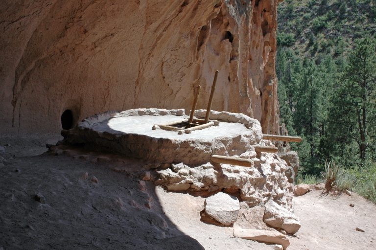 Bandelier National Monument
Cliff dwellings reached by ladder in Frijoles Canyon, and 70-plus miles of backcountry trail across New Mexico’s Pajarito Plateau.
-
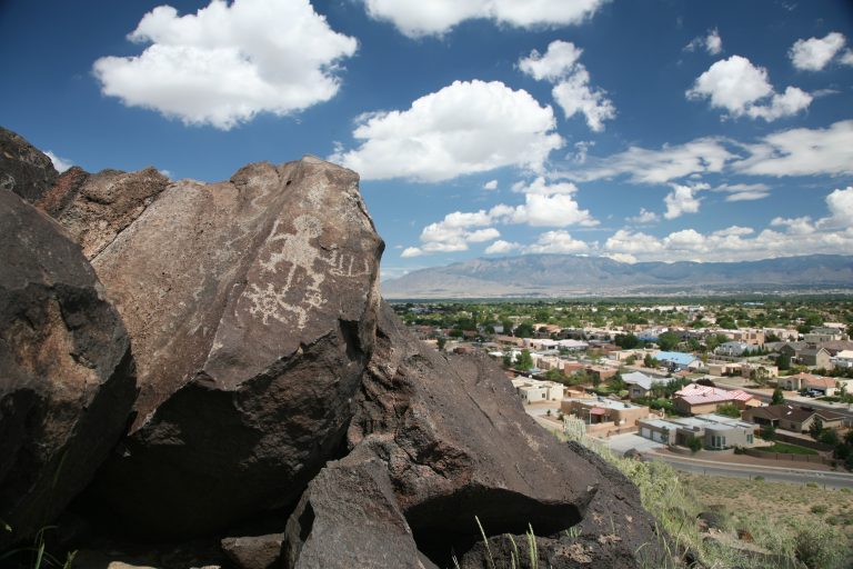 Petroglyph National Monument
More than 20,000 petroglyphs on Albuquerque’s West Mesa, with short canyon trails and quiet walks among the volcanoes.
-
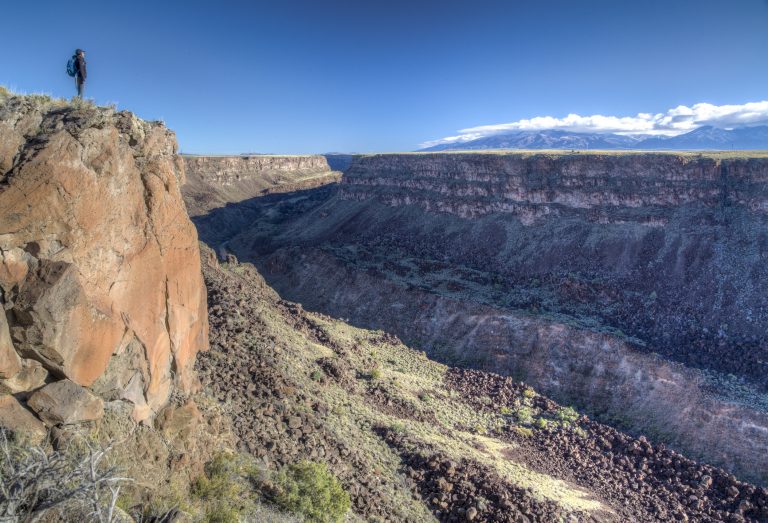 Río Grande del Norte National Monument
The Rio Grande’s basalt gorge near Taos, with rim walks, steep trails to the river and the Taos Box whitewater run.
-
 El Malpais National Monument
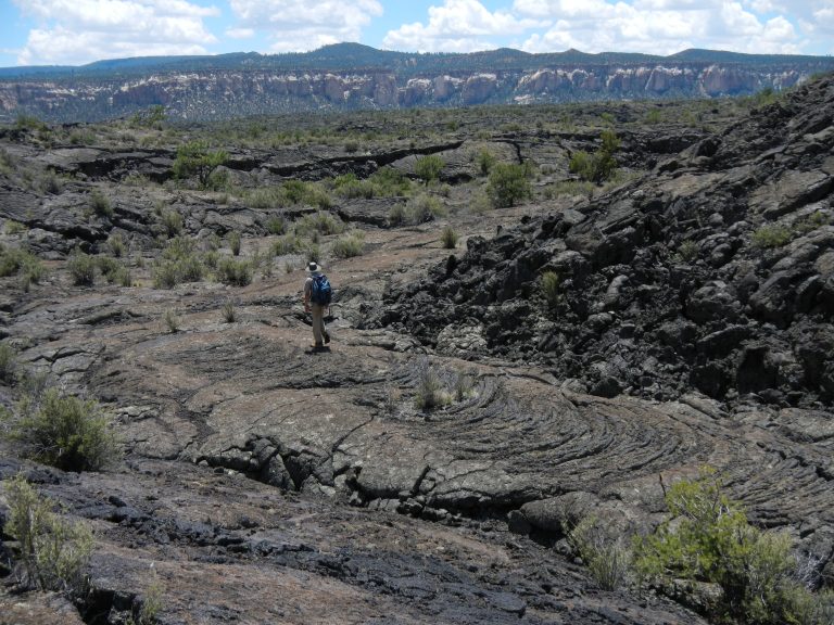
Lava flows, cinder cones and lava tube caves south of Grants, New Mexico, crossed by the ancient Zuni-Acoma Trail.
Straight-line distance between park centres. Road distance is usually longer.
Looking for somewhere closer to home?
See every park and monument within a day’s drive of where you are.