

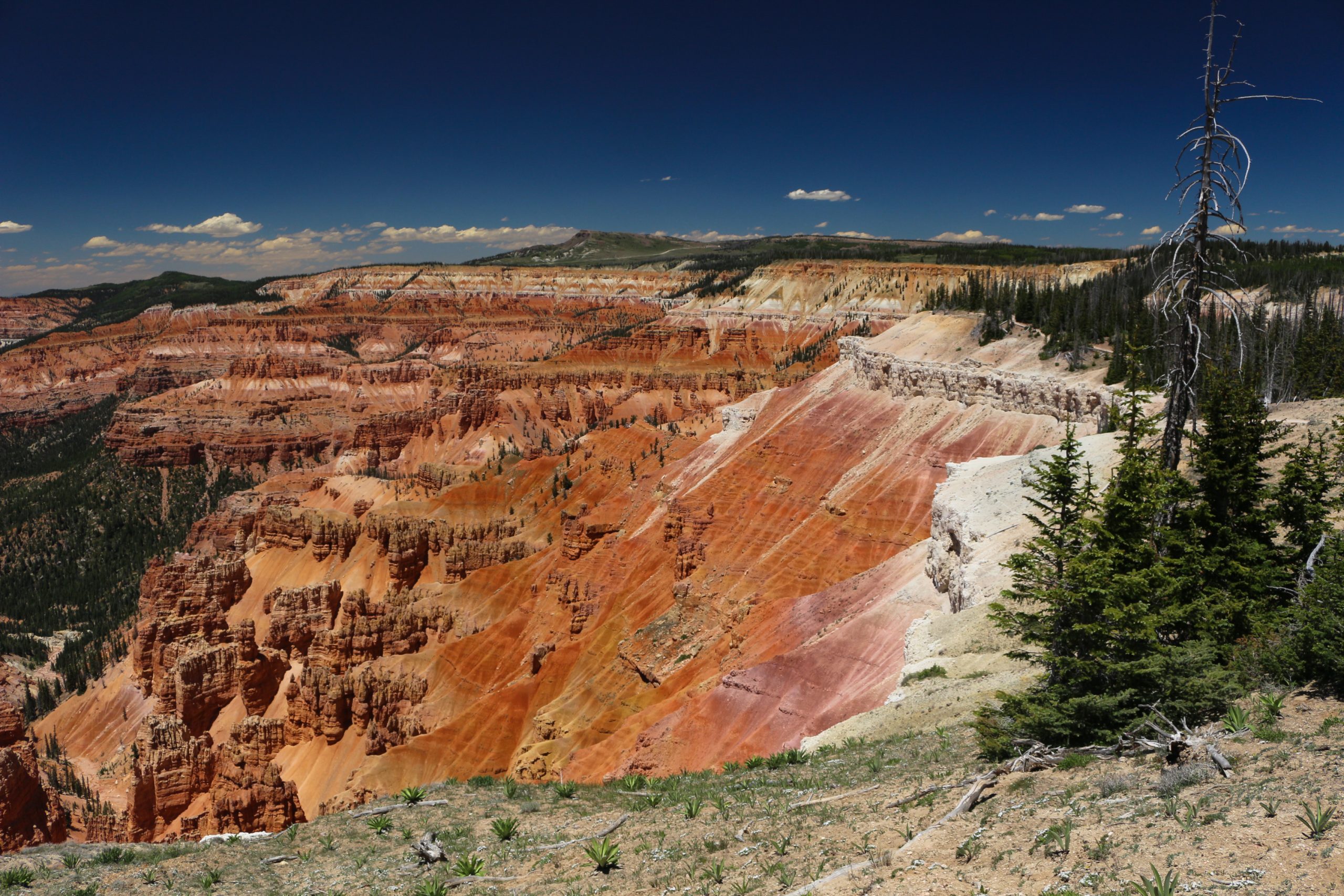
Cedar Breaks National Monument
Cedar Breaks is a huge amphitheatre of orange and red rock spires and fins, about half a mile (800 m) deep, carved into the edge of a plateau more than 10,000 feet (3,050 m) high near Cedar City, Utah. Short rim trails lead to overlooks and ancient bristlecone pines, and a steep trail drops into the wilderness below.
Fast facts
- Established: 1933
- Size: about 6,155 acres (25 km²)
- Elevation: the rim is above 10,000 feet (3,050 m)
- Night sky: an International Dark Sky Park
- Gateways: Cedar City and Brian Head
- Managed by: the National Park Service
The landscape
The amphitheatre is cut into the same Claron Formation limestone as Bryce Canyon, eroded into hoodoos (tall, thin spires of rock), ridges and canyons in shades of orange, red and purple. The rim is subalpine forest and meadow, with wildflowers in July and August and bristlecone pines, some more than 1,500 years old, on exposed points.
Best time to go
Summer and early fall, when the road is open. Highs are usually 60-70°F (16-21°C), with lows of 30-40°F (-1 to 4°C), and it is often 10-20°F (6-11°C) cooler than surrounding parks. Wildflowers peak in July and August, and afternoon thunderstorms are common. In winter the road is closed, and visitors arrive on skis, snowshoes or snowmobiles.
Getting there and around
Cedar Breaks is on Utah State Route 148, east of Cedar City and I-15, and between Zion and Bryce Canyon national parks. SR-148 through the monument is usually open to vehicles from late May to mid-October, depending on snow.
Things to do
Pull-outs along the scenic drive give views into the amphitheatre. The Alpine Pond Trail is a loop of about 2 miles (3.2 km) through forest and meadow to a small pond, and the Spectra Point and Ramparts Trail follows the rim about 2 miles (3.2 km) each way, past bristlecone pines. Rangers hold stargazing programs in summer.
For more of a challenge, the Rattlesnake Creek Trail drops steeply from the high country outside the monument into the Ashdown Gorge Wilderness, a long day or overnight trip with stream crossings and a car shuttle.
Staying safe
At over 10,000 feet (3,050 m), altitude can cause headaches and shortness of breath for visitors coming from low elevations, so take it easy and drink water. Afternoon thunderstorms bring lightning to the exposed rim, so head for shelter when they build. Snow, sleet and hail can fall in any month, so carry layers.
Know before you go
An entrance fee applies (America the Beautiful pass accepted). Point Supreme Campground is open in summer by reservation. SR-148 closes in winter. This page is a general overview, not a live conditions report, so confirm road status with the National Park Service before you go.
- Coordinates
- 37.6338, -112.8447
- Magnetic declination
- 10.5° E (2026)
Set this declination on your compass, then align it to the map's north lines; it is the angle between true north and magnetic north, refreshed each year.
How declination works, and how to navigate with a map and compass
A spread of the park’s main places shows straight away, and the rest appear as you zoom in. You can also search above, or pick any place from the lists below, and the map will go to it. Places in bold, marked , have a short description.
Getting there 4
Park entrances
Visitor centre
On the trail 3
Routes
Campground
Sights 14
Viewpoints
Lake
Points of interest
Peaks
Map data comes from third-party sources and may be incomplete or out of date, so carry a current official map (terms).
Looking for one of these closer to home?Destinations near me by trip type →
- Best seasons
- Summer, Early fall, Winter (skis and snowshoes)
- Difficulty
- Easy to moderate (strenuous on Rattlesnake Creek)
- Access / trailheads
- Utah SR-148 east of Cedar City, open to vehicles roughly late May to mid-October.
- Water
- At the visitor center and campground in season.
- Cell / satellite coverage
- Patchy on the rim.
- Nearest ranger / SAR / emergency
- Emergencies: 911. Cedar Breaks: 435-986-7120.
- Permits & regulations
- Entrance fee (America the Beautiful pass accepted). Campground by reservation in summer.
- Leave No Trace
- Stay on trails and behind rim barriers, leave wildflowers and bristlecone wood in place, and pack out all waste.
January
- Below-freezing nights
February
- Below-freezing nights
March
- Below-freezing nights
April
- Below-freezing nights
May
June
July
August
September
October This month
November
- Below-freezing nights
December
- Below-freezing nights
What to bring depends on your trip: how long you’re out, where you sleep, and how far you go from the road. The planner builds the list for yours.
Plan a trip here →Averages for 1991–2020 from NOAA U.S. Climate Normals, measured at the Cedar Breaks National Monument station, 2 miles (3 km)3 km (2 miles) away at 10,372 feet (3,161 m)3,161 m (10,372 feet). Higher trails run colder, by about 3.5°F for every 1,000 ft (2°C per 300 m)2°C for every 300 m (3.5°F per 1,000 ft) of climb. Daylight runs from sunrise to sunset on the 15th, on the park’s own clock, for a level horizon. Valleys and slopes facing away from the sun are in shade earlier.
Nearby parks
-
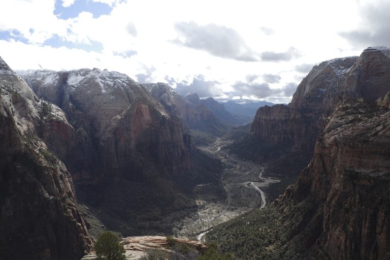 Zion National Park
Towering sandstone walls above the Virgin River in southwest Utah, with Angels Landing, the Narrows and the quieter Kolob Canyons.
-
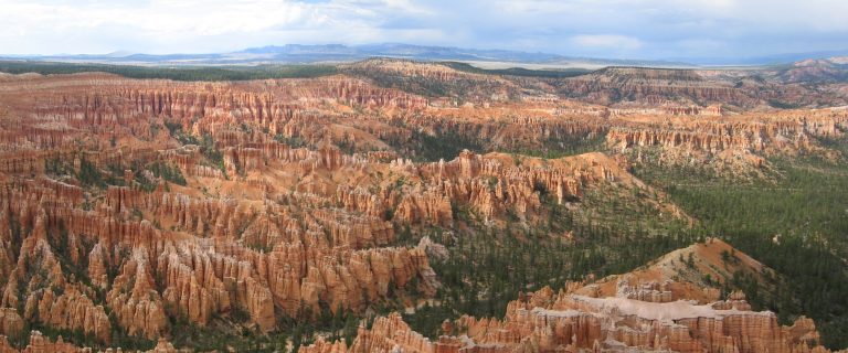 Bryce Canyon National Park
Amphitheaters of orange hoodoos on the edge of a high Utah plateau, with rim views and trails down among the spires.
-
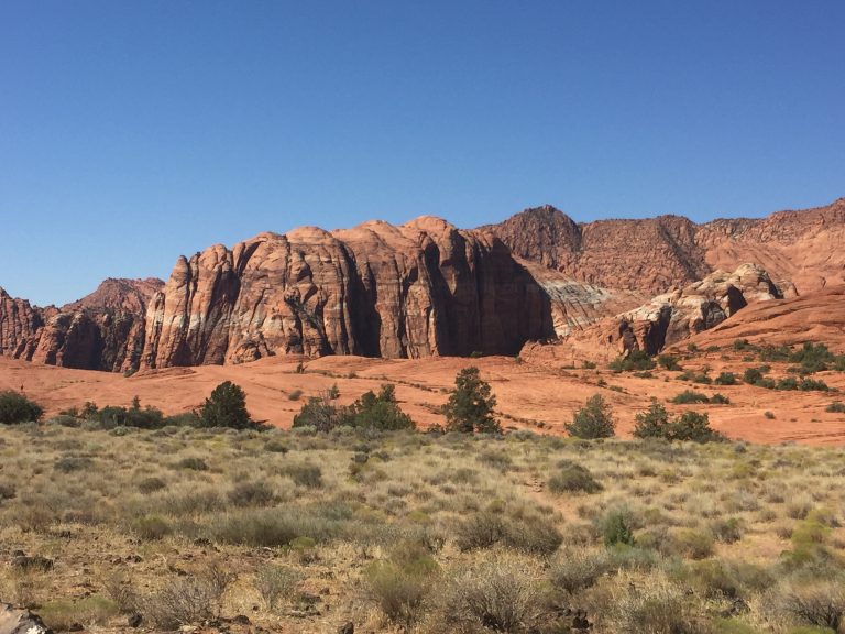 Snow Canyon State Park
Red and white sandstone cliffs, black lava flows and sand dunes in a compact desert canyon minutes from St. George.
-
 Grand Staircase-Escalante National Monument
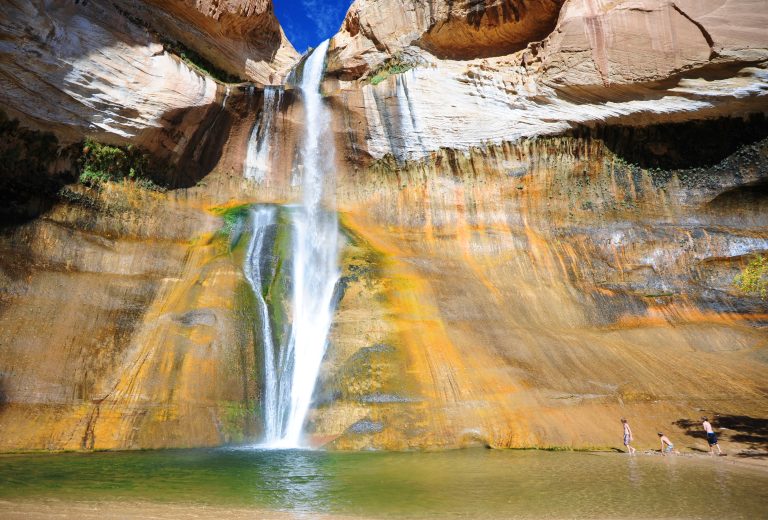
Slot canyons, the Escalante River and Lower Calf Creek Falls across nearly 1.9 million acres (7,600 km²) of southern Utah.
Straight-line distance between park centres. Road distance is usually longer.
Looking for somewhere closer to home?
See every park and monument within a day’s drive of where you are.