

Carrizo Plain National Monument
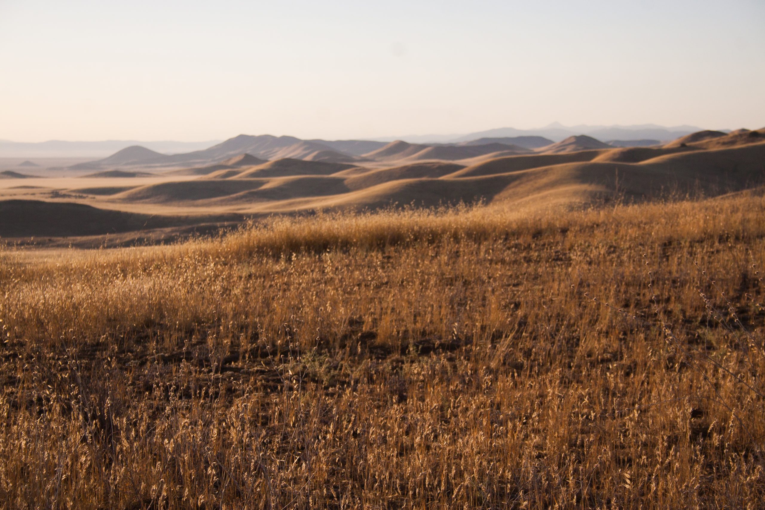
Carrizo Plain is a wide, empty valley in inland San Luis Obispo County, the largest remaining native grassland in California. In wet springs its hills turn yellow and purple with wildflowers, and the San Andreas Fault runs plainly along its eastern edge.
Fast facts
- Established: 2001
- Size: about 211,000 acres (854 km²)
- Signature features: Soda Lake, the Temblor Range, the San Andreas Fault at Wallace Creek and Painted Rock
- Wildlife: pronghorn, tule elk, San Joaquin kit fox and giant kangaroo rats
- Gateways: Santa Margarita, Taft and California Valley
- Managed by: the Bureau of Land Management with partners
The landscape
The plain is a closed basin between the Caliente and Temblor ranges, draining into Soda Lake, a white alkali flat that holds water only after rain. The San Andreas Fault runs along the base of the Temblor Range, where stream channels at Wallace Creek bend sharply where the fault has offset them. Painted Rock, a horseshoe of sandstone, holds pictographs made over thousands of years.
Best time to go
Spring, from about March to April, when wildflowers bloom in wet years and the weather is mild. Summer is very hot, often over 100°F (38°C). Winter is cool, and rain can make dirt roads impassable.
Getting there and around
Soda Lake Road runs the length of the plain, reached from Highway 58 in the north or Highway 166 in the south; parts are dirt. The Goodwin Education Center is near Painted Rock Road and is open seasonally. There are no services: fill up with fuel and water before arriving.
Things to do
Walk the short boardwalk and overlook at Soda Lake, drive Soda Lake Road through the grassland, and in a good spring year walk into the wildflowers on the Temblor Range. At Wallace Creek, a short trail explains the San Andreas Fault.
Painted Rock is visited on a guided tour or with a self-guided permit, depending on the season. Longer hikes follow old ranch roads into the Caliente Range, where Caliente Mountain is the highest point in the county, and two primitive campgrounds serve overnight visitors.
Staying safe
Summer heat is dangerous; carry plenty of water. Dirt roads turn to impassable mud after rain. Services, fuel and cell signal are scarce. Watch for rattlesnakes.
Know before you go
There is no entrance fee. Painted Rock requires a reservation on Recreation.gov, with guided tours only in spring. Leave gates as you find them, since cattle graze parts of the monument. This page is a general overview, not a live conditions report, so confirm road conditions and wildflower status with the Bureau of Land Management before you go.
- Coordinates
- 35.1154, -119.7092
- Magnetic declination
- 11.8° E (2026)
Set this declination on your compass, then align it to the map's north lines; it is the angle between true north and magnetic north, refreshed each year.
How declination works, and how to navigate with a map and compass
A spread of the park’s main places shows straight away, and the rest appear as you zoom in. You can also search above, or pick any place from the lists below, and the map will go to it. Places in bold, marked , have a short description.
Getting there 1
Ranger station
On the trail 2
Campgrounds
Sights 11
Viewpoint
Lake
Heritage site
Point of interest
Peaks
Map data comes from third-party sources and may be incomplete or out of date, so carry a current official map (terms).
Looking for one of these closer to home?Destinations near me by trip type →
- Best seasons
- Spring (wildflowers)
- Difficulty
- Easy to moderate
- Access / trailheads
- Soda Lake Road from Highway 58 or Highway 166; partly dirt.
- Water
- None reliable. Bring all you need.
- Cell / satellite coverage
- Little to none.
- Nearest ranger / SAR / emergency
- Emergencies: 911. BLM Bakersfield Field Office: 661-391-6000.
- Permits & regulations
- No entrance fee. Reservation required for Painted Rock (guided tours in spring, self-guided permits otherwise).
- Leave No Trace
- Stay on roads and trails, leave wildflowers for others, never touch the pictographs, and pack out everything.
January
February
March
April
- Day-to-night swing of 31°F (17°C)Day-to-night swing of 17°C (31°F)
May
- Day-to-night swing of 35°F (19°C)Day-to-night swing of 19°C (35°F)
June
- Day-to-night swing of 37°F (21°C)Day-to-night swing of 21°C (37°F)
July
- Hot days
- Day-to-night swing of 38°F (21°C)Day-to-night swing of 21°C (38°F)
August
- Hot days
- Day-to-night swing of 38°F (21°C)Day-to-night swing of 21°C (38°F)
September
- Day-to-night swing of 37°F (21°C)Day-to-night swing of 21°C (37°F)
October This month
- Day-to-night swing of 35°F (19°C)Day-to-night swing of 19°C (35°F)
November
- Day-to-night swing of 32°F (18°C)Day-to-night swing of 18°C (32°F)
December
- Below-freezing nights
What to bring depends on your trip: how long you’re out, where you sleep, and how far you go from the road. The planner builds the list for yours.
Plan a trip here →Averages for 1991–2020 from NOAA U.S. Climate Normals, measured at the New Cuyama Fire Stn station, 15 miles (25 km)25 km (15 miles) away at 2,160 feet (658 m)658 m (2,160 feet). Higher trails run colder, by about 3.5°F for every 1,000 ft (2°C per 300 m)2°C for every 300 m (3.5°F per 1,000 ft) of climb. Daylight runs from sunrise to sunset on the 15th, on the park’s own clock, for a level horizon. Valleys and slopes facing away from the sun are in shade earlier.
Nearby parks
-
 Channel Islands National Park
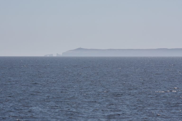
Five wild islands off Southern California, reached only by boat or plane, with sea caves, kayaking and plants found nowhere else.
-
 Malibu Creek State Park
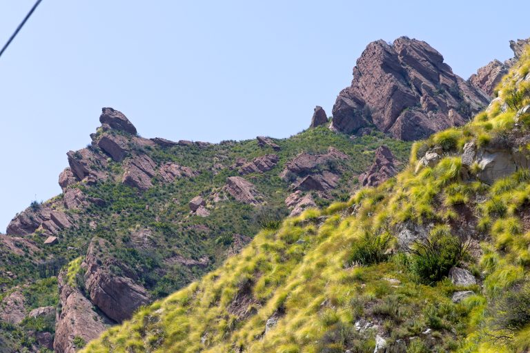
Volcanic crags, oak meadows and a creek gorge in the Santa Monica Mountains, with the M*A*S*H film site, 25 miles (40 km) from downtown Los Angeles.
-
 Giant Sequoia National Monument
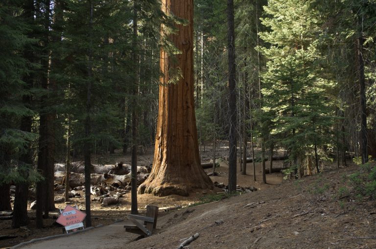
Thirty-three groves of giant sequoias in Sequoia National Forest, with the paved Trail of 100 Giants and the ancient Boole Tree.
-
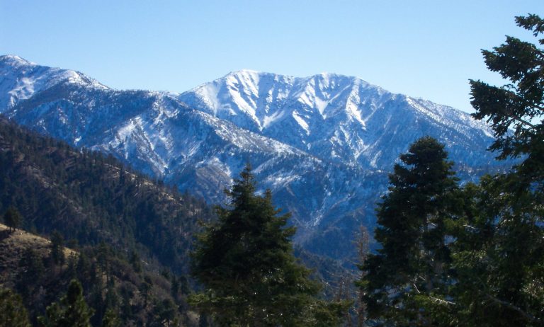 San Gabriel Mountains National Monument
The high country and canyons behind Los Angeles, from riverside picnics to the Bridge to Nowhere and Mount Baldy.
Straight-line distance between park centres. Road distance is usually longer.
Looking for somewhere closer to home?
See every park and monument within a day’s drive of where you are.