

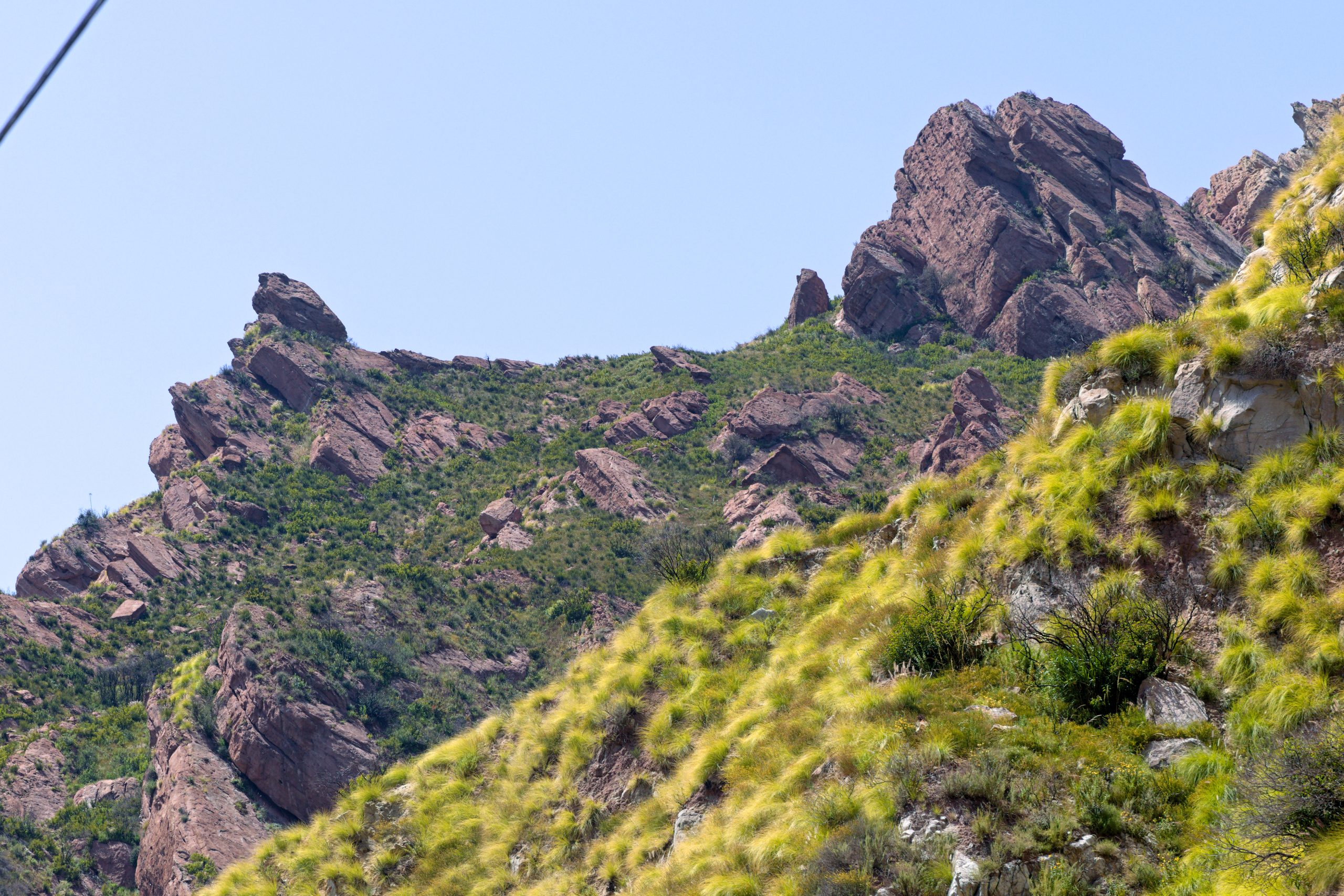
Malibu Creek State Park
Fast facts
- Size: more than 8,000 acres (32 km²) across the crest of the Santa Monica Mountains
- Known for: the Rock Pool, Century Lake, the M*A*S*H filming site and the Goat Buttes
- Trails: wide dirt roads along the creek and steeper paths into the hills, including part of the Backbone Trail
- Camping: one campground reached by car; no backcountry camping
- Opened: 1976
- Gateway: Calabasas and Agoura Hills
- Managed by: California State Parks, within Santa Monica Mountains National Recreation Area
The landscape
Malibu Creek is the one stream that cuts all the way through the Santa Monica Mountains to the sea, and the park follows it. Broad valleys of grassland and valley oak in the north narrow into a gorge of dark volcanic rock, where the creek pools under the cliffs of the Goat Buttes. The slopes are covered in chaparral and coastal sage scrub, green from the winter rains until late spring and brown and dry for the rest of the year. Sycamores and willows line the creek, and a stand of redwoods planted in 1910 grows beside Century Lake.
People have lived here for thousands of years; the village of ta’lopop, in what is now the park, is one of the oldest known settlements in these mountains. In the twentieth century the land was a country club and then the 20th Century Fox movie ranch, the backdrop for more than a hundred films and television shows, among them Planet of the Apes and M*A*S*H. The Woolsey Fire burned most of the park in 2018, and the hills are still growing back.
Best time to go
Late winter and spring, from about February to May, are the best months: the hills are green, wildflowers are out, the creek is flowing and the days are mild. Fall and winter are good for hiking too, although the creek can run too high to cross after a storm. Summer is hot, often above 90°F (32°C) by late morning, with almost no shade away from the creek, so start at opening time and finish early. During red flag fire weather the park, including the campground, may be closed at short notice.
Getting there and around
From US Highway 101 in Calabasas, take Las Virgenes Road south for 4 miles (6 km); the entrance is on the right just past Mulholland Highway. Day-use parking is open from 8 a.m. to 10 p.m. and a fee is charged. Nearly every hike starts from the main lot and follows Crags Road, a wide dirt road, west along the creek. The Visitor Center is about a mile (1.6 km) along it and is open on weekend afternoons. There is no public transport to the park.
Things to do
The easy walks follow the creek. The Rock Pool, a deep pool under volcanic cliffs that have appeared in many films, and Century Lake, a small reservoir behind a 1903 dam, are each a round trip of roughly 3 to 4 miles (5 to 6 km) on mostly level ground. The M*A*S*H site, where a restored ambulance and signposts mark the outdoor set of the television series, is about 5 miles (8 km) round trip, with a rocky stretch of trail beyond Century Lake. The Lookout Trail climbs to a view over the lake and the gorge.
Longer routes climb out of the valley on the Backbone Trail and the fire roads toward Castro Crest and Mesa Peak, with wide views to the ocean and little shade. The cliffs around the Rock Pool are a well-known rock climbing area. Mountain bikers and horse riders use the dirt roads, anglers fish the creek and Century Lake, and the meadows and creek are good for birdwatching. The campground has sites for tents and for trailers and motorhomes up to 30 feet (9 m), with showers.
Staying safe
Heat is the main danger. There is very little shade on the trails, summer temperatures climb fast after mid-morning, and there is no water once you leave the parking area. Carry more water than you think you need, wear a hat and sunscreen, and turn back while you still have half your water. Rattlesnakes are common in the warm months, so stay on the trail and watch where you step and put your hands. Poison oak grows along the creek and the shadier trails. Check for ticks afterward.
At the Rock Pool, people are hurt every year jumping from the rocks into water that hides boulders and changes depth with the season; do not jump or dive. After heavy rain the creek rises and the crossings can be impassable. Mountain lions live in these mountains and are seldom seen; keep children close and do not hike alone at dawn or dusk. In fire weather, know your way out, and leave at once if you see or smell smoke.
Know before you go
Dogs are allowed only in the campground, picnic areas, parking lots and on paved roads, never on the trails or dirt roads. Campground fires depend on the day’s fire level, which is posted at the campground entrance; on high-danger days no wood or charcoal may be burned. This page is a general overview, not a live conditions report, so check for closures, fire restrictions and creek conditions with California State Parks before you go.
- Coordinates
- 34.0821, -118.7556
- Magnetic declination
- 11.4° E (2026)
Set this declination on your compass, then align it to the map's north lines; it is the angle between true north and magnetic north, refreshed each year.
How declination works, and how to navigate with a map and compass
A spread of the park’s main places shows straight away, and the rest appear as you zoom in. You can also search above, or pick any place from the lists below, and the map will go to it. Places in bold, marked , have a short description.
Getting there 2
Visitor centre
Ranger station
On the trail 8
Trailheads
Routes
Campground
Sights 11
Viewpoints
Lakes
Heritage sites
Point of interest
Peaks
Map data comes from third-party sources and may be incomplete or out of date, so carry a current official map (terms).
Looking for one of these closer to home?Destinations near me by trip type →
- Best seasons
- Spring (green hills and wildflowers), Fall, Winter, Early summer mornings
- Difficulty
- Easy to moderate
- Access / trailheads
- The entrance is on Las Virgenes Road in Calabasas, 4 miles (6 km) south of US Highway 101 and just past Mulholland Highway. From the coast, Malibu Canyon Road climbs to the same entrance from Pacific Coast Highway.
- Water
- Drinking water at the campground and the main day-use parking area. None on the trails, and the creek is not safe to drink, so carry at least a quart (1 litre) per person for each hour in warm weather.
- Cell / satellite coverage
- Fair at the entrance and parking areas, weak to none in the gorge and along the creek.
- Nearest ranger / SAR / emergency
- Emergencies: 911. Park office: 818-451-9642.
- Permits & regulations
- A parking fee is charged for day use. Campsites are reserved through ReserveCalifornia, and some go by a monthly lottery draw. Dogs are not allowed on trails or dirt roads.
- Leave No Trace
- Stay on the trails, pack out all trash, leave film-set relics and historic ruins as you find them, and check the day's fire level before lighting anything in the campground.
January
February
March
April
- Day-to-night swing of 30°F (17°C)Day-to-night swing of 17°C (30°F)
May
June
- Day-to-night swing of 32°F (18°C)Day-to-night swing of 18°C (32°F)
July
- Hot days
- Day-to-night swing of 34°F (19°C)Day-to-night swing of 19°C (34°F)
August
- Hot days
- Day-to-night swing of 36°F (20°C)Day-to-night swing of 20°C (36°F)
September
- Hot days
- Day-to-night swing of 35°F (19°C)Day-to-night swing of 19°C (35°F)
October This month
- Day-to-night swing of 32°F (18°C)Day-to-night swing of 18°C (32°F)
November
- Day-to-night swing of 30°F (17°C)Day-to-night swing of 17°C (30°F)
December
What to bring depends on your trip: how long you’re out, where you sleep, and how far you go from the road. The planner builds the list for yours.
Plan a trip here →Averages for 1991–2020 from NOAA U.S. Climate Normals, measured at the Woodland Hills Pierce College station, 10 miles (17 km)17 km (10 miles) away at 790 feet (241 m)241 m (790 feet). Higher trails run colder, by about 3.5°F for every 1,000 ft (2°C per 300 m)2°C for every 300 m (3.5°F per 1,000 ft) of climb. Daylight runs from sunrise to sunset on the 15th, on the park’s own clock, for a level horizon. Valleys and slopes facing away from the sun are in shade earlier.
Nearby parks
-
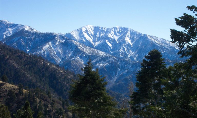 San Gabriel Mountains National Monument
The high country and canyons behind Los Angeles, from riverside picnics to the Bridge to Nowhere and Mount Baldy.
-
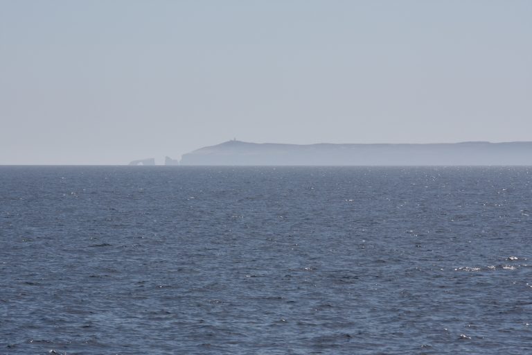 Channel Islands National Park
Five wild islands off Southern California, reached only by boat or plane, with sea caves, kayaking and plants found nowhere else.
-
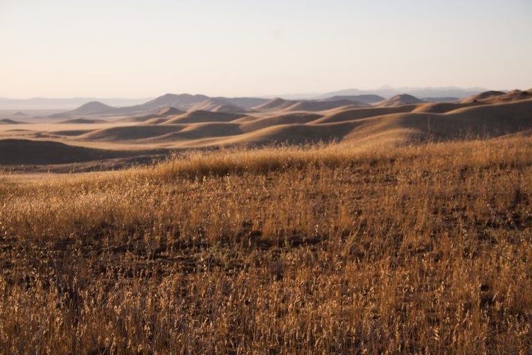 Carrizo Plain National Monument
California’s largest native grassland, with spring wildflowers, Soda Lake and the San Andreas Fault in plain view.
-
 Sand to Snow National Monument
Desert birding walks and Southern California’s highest summit, San Gorgonio, in one monument between Palm Springs and Joshua Tree.
Straight-line distance between park centres. Road distance is usually longer.
Looking for somewhere closer to home?
See every park and monument within a day’s drive of where you are.