

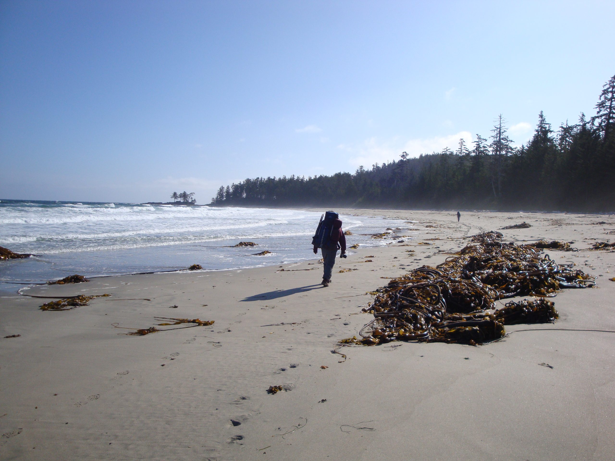
Cape Scott Provincial Park
Fast facts
- Established: 1973
- Coastline: more than 71 miles (115 km), including about 19 miles (30 km) of remote beach
- Signature beach: Nels Bight, about 1.5 miles (2.4 km) long at low tide
- Location: the northwestern tip of Vancouver Island, about 350 miles (563 km) from Victoria
- Gateway: Port Hardy
- Managed by: BC Parks
The landscape
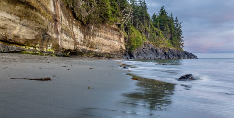
Cape Scott is wild, wet coast: white-sand beaches between rocky headlands, sea stacks reached at low tide, salt marshes and estuaries, and old-growth Sitka spruce and western red cedar more than 10 feet (3 m) across. The land was settled by Danish pioneers a century ago, and their fences and clearings are slowly disappearing into the forest. Bears and wolves are common along the shore, where they turn over rocks at low tide.
Best time to go
Summer is the driest and busiest time, but rain can fall in any month and the trails stay muddy. Late spring and early fall are quieter, with more storms and colder nights. Winter brings heavy rain, high wind and big surf, and is for experienced, self-sufficient parties only.
Getting there and around
The park is reached by a long gravel logging road west from Port Hardy through Holberg to the trailhead. From there, an easy trail leads to San Josef Bay, and the main Cape Scott Trail runs to Nels Bight and the beaches beyond. The rugged North Coast Trail continues east along the shore and is usually reached by water taxi to Shushartie Bay.
Things to do
Day hikers walk to San Josef Bay for its sea stacks and beaches. Backpackers head to Nels Bight, Guise Bay and Experiment Bight, where camping on the sand is the reward for a muddy approach. The North Coast Trail is one of the most demanding coastal hikes in Canada, with rope-assisted climbs, deep mud and river crossings. Tide pools, old-growth forest and wildlife watching fill the rest.
Staying safe
Mud is deep and boardwalks are very slippery when wet, so allow plenty of time and wear sturdy, waterproof boots. Check tide tables before rounding headlands or crossing beaches, and watch for surge. Bears and wolves are common: camp only in developed sites, use the food caches and keep dogs leashed or at home. Drinking water is scarce, so carry enough or treat what you find. There is no cell service, so carry a satellite messenger and leave a trip plan.
Know before you go
The lighthouse and the cape itself are Department of National Defence property outside the park. Backcountry fees apply, and water taxis for the North Coast Trail are booked ahead. This page is a general overview, not a live conditions report, so confirm current trail conditions and advisories with BC Parks before you go.
- Coordinates
- 50.7623, -128.1480
- Magnetic declination
- 16.2° E (2026)
Set this declination on your compass, then align it to the map's north lines; it is the angle between true north and magnetic north, refreshed each year.
How declination works, and how to navigate with a map and compass
A spread of the park’s main places shows straight away, and the rest appear as you zoom in. You can also search above, or pick any place from the lists below, and the map will go to it. Places in bold, marked , have a short description.
On the trail 13
Trailheads
Campgrounds
Huts and shelters
Sights 12
Viewpoint
Lake
Beaches
Heritage site
Point of interest
Islands
Peaks
Map data comes from third-party sources and may be incomplete or out of date, so carry a current official map (terms).
Looking for one of these closer to home?Destinations near me by trip type →
- Best seasons
- Summer, Early fall
- Difficulty
- Moderate to strenuous
- Access / trailheads
- From Port Hardy, a long gravel logging road runs west past Holberg to the Cape Scott trailhead near San Josef Bay. Drive with lights on and yield to logging trucks.
- Water
- Very limited; carry enough or be ready to boil or treat what you find.
- Cell / satellite coverage
- None in the park. Carry a satellite messenger.
- Nearest ranger / SAR / emergency
- Emergencies: 911 by satellite device (RCMP coordinate search and rescue).
- Permits & regulations
- Backcountry camping fees apply and are paid by registering for a backcountry permit. The North Coast Trail section needs a water taxi or shuttle, run by permit holders listed by BC Parks.
- Leave No Trace
- Camp only in developed sites, not along the shoreline, use the food caches, lock food in your vehicle at the trailhead, and stay on the trail rather than beside the boardwalk.
January
February
March
April
May
June
July
August
September
October This month
November
December
What to bring depends on your trip: how long you’re out, where you sleep, and how far you go from the road. The planner builds the list for yours.
Plan a trip here →Averages for 1981–2010 from Environment Canada climate normals, measured at the Cape Scott station, 7 miles (11 km)11 km (7 miles) away at 235 feet (72 m)72 m (235 feet). Higher trails run colder, by about 3.5°F for every 1,000 ft (2°C per 300 m)2°C for every 300 m (3.5°F per 1,000 ft) of climb. Daylight runs from sunrise to sunset on the 15th, on the park’s own clock, for a level horizon. Valleys and slopes facing away from the sun are in shade earlier.
Nearby parks
-
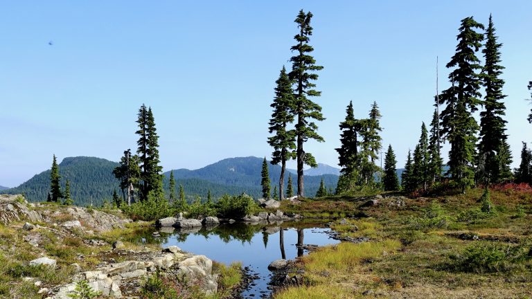 Strathcona Provincial Park
British Columbia's oldest park: the mountain heart of Vancouver Island, with the Golden Hinde, Della Falls and the Forbidden Plateau.
-
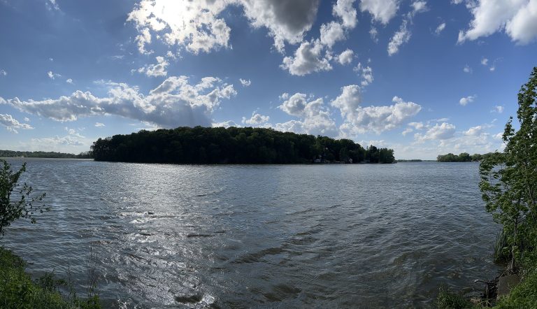 Gwaii Haanas National Park Reserve
Old-growth rainforest, Haida village sites and wild coast on southern Haida Gwaii, reached by boat or floatplane and explored by kayak.
-
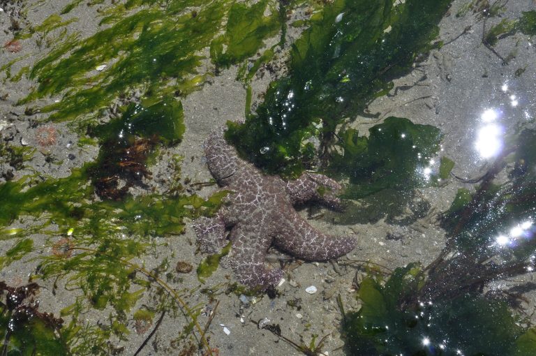 Pacific Rim National Park Reserve
Surf at Long Beach, the West Coast Trail and the Broken Group Islands on Vancouver Island's west coast, near Tofino and Ucluelet.
-
 Juan de Fuca Provincial Park
A 29-mile (47 km) coastal trail west of Victoria: beaches, surge channels and tide pools, with floats marking the way.
Straight-line distance between park centres. Road distance is usually longer.
Looking for somewhere closer to home?
See every park and monument within a day’s drive of where you are.