

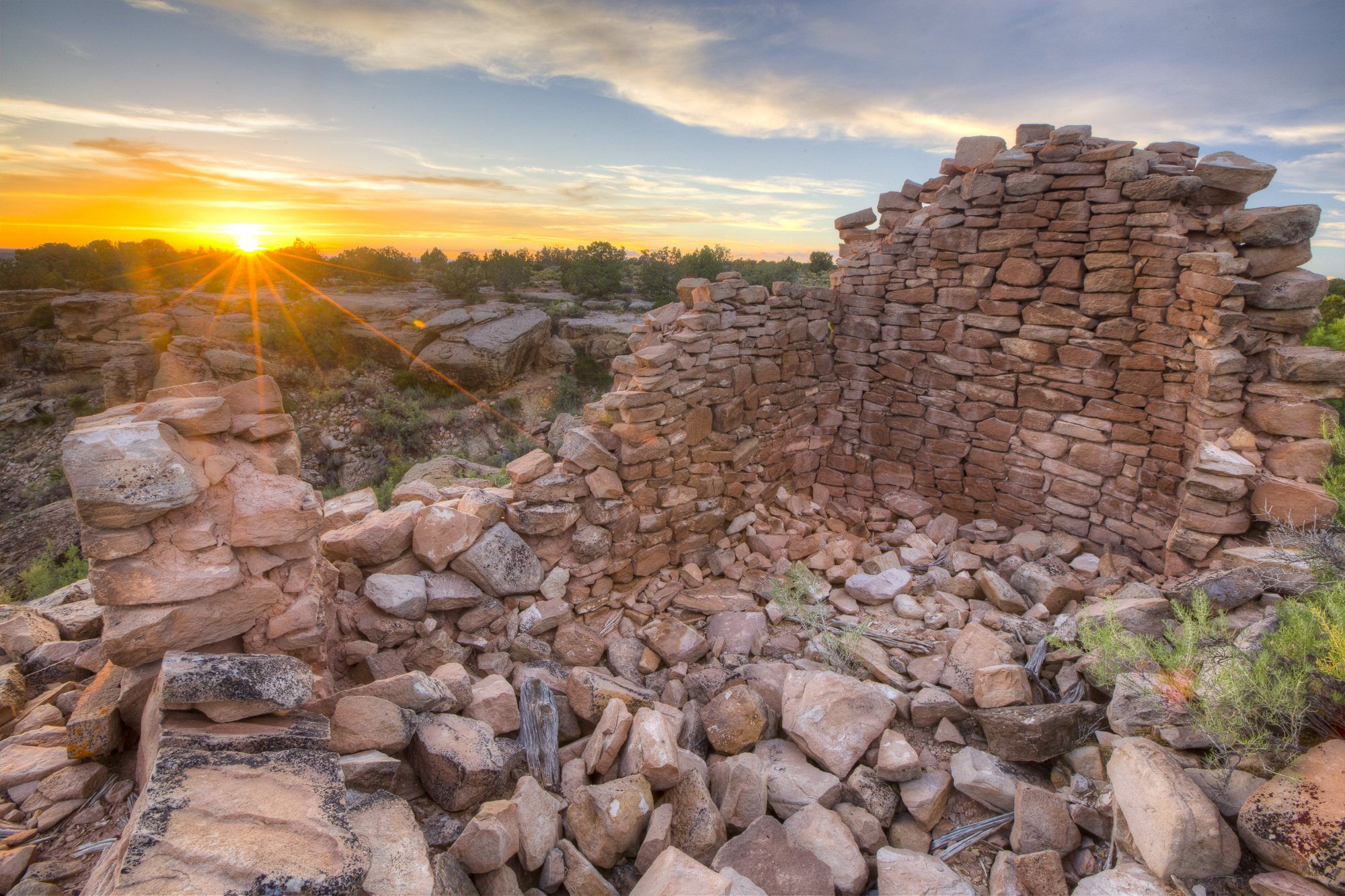
Canyons of the Ancients National Monument
Canyons of the Ancients, in the southwest corner of Colorado, holds one of the densest concentrations of archaeological sites in the United States, from small cliff dwellings to large villages. Short trails reach excavated pueblos, and the Sand Canyon Trail winds past cliff dwellings for 6.5 miles (10.5 km).
Fast facts
- Established: 2000
- Size: about 176,000 acres (714 km²)
- Sites: thousands of recorded archaeological sites
- Visitor center: the Canyons of the Ancients Visitor Center and Museum in Dolores
- Gateways: Cortez and Dolores, Colorado
- Managed by: the Bureau of Land Management
The landscape
Mesas of pinyon and juniper are cut by canyons of red and tan sandstone that drain toward the San Juan River. Ancestral Puebloan people farmed these mesas for centuries before about 1300, and remains of their villages, towers, check dams and kivas are everywhere. It is quiet, open country with few roads and no facilities.
Best time to go
Spring and fall. Summer is hot, with afternoon thunderstorms, and winter can bring snow and muddy roads.
Getting there and around
The visitor center and museum are on Highway 184 near Dolores. The monument lies west of Cortez; Lowry Pueblo is about 25 miles (40 km) from the visitor center by paved and gravel roads, and the Sand Canyon trailhead is off County Road G west of Cortez.
Things to do
Start at the visitor center and museum, where a short trail leads to two pueblos. Lowry Pueblo has a short paved trail around an excavated village of about 40 rooms and a great kiva, and Painted Hand Pueblo is a walk of about 1 mile (1.6 km) round trip to a tower on a boulder.
The Sand Canyon Trail runs about 6.5 miles (10.5 km) one way from the lower trailhead near Cortez to Sand Canyon Pueblo on the rim, passing cliff dwellings in the first 3 miles (5 km) and climbing steeply at the upper end; most people hike part of it or arrange a shuttle. Mountain bikers ride the monument’s dirt roads.
Staying safe
Carry water: there is none on the trails, and summer heat is strong. Stay off walls, which collapse easily. Roads can be impassable after rain or snow. Watch for rattlesnakes.
Know before you go
There is no entrance fee, and the visitor center charges a small museum admission. There are no developed campgrounds in the monument. Collecting artifacts is illegal. This page is a general overview, not a live conditions report, so confirm road conditions with the Bureau of Land Management before you go.
- Coordinates
- 37.4579, -108.8367
- Magnetic declination
- 9.0° E (2026)
Set this declination on your compass, then align it to the map's north lines; it is the angle between true north and magnetic north, refreshed each year.
How declination works, and how to navigate with a map and compass
A spread of the park’s main places shows straight away, and the rest appear as you zoom in. You can also search above, or pick any place from the lists below, and the map will go to it. Places in bold, marked , have a short description.
On the trail 3
Trailhead
Route
Campground
Sights 18
Lakes
Heritage sites
Peaks
Map data comes from third-party sources and may be incomplete or out of date, so carry a current official map (terms).
Looking for one of these closer to home?Destinations near me by trip type →
- Best seasons
- Spring, Fall
- Difficulty
- Easy to moderate
- Access / trailheads
- Visitor center on Highway 184 near Dolores; monument roads west of Cortez, partly gravel.
- Water
- At the visitor center only.
- Cell / satellite coverage
- Patchy.
- Nearest ranger / SAR / emergency
- Emergencies: 911. Visitor center: 970-882-5600.
- Permits & regulations
- No entrance fee; museum admission at the visitor center. No developed campgrounds.
- Leave No Trace
- Look but never touch or climb on ruins, leave artifacts in place, and stay on trails.
January
- Below-freezing nights
February
- Below-freezing nights
March
- Below-freezing nights
April
- Below-freezing nights
- Day-to-night swing of 31°F (17°C)Day-to-night swing of 17°C (31°F)
May
- Day-to-night swing of 33°F (18°C)Day-to-night swing of 18°C (33°F)
June
- Day-to-night swing of 37°F (21°C)Day-to-night swing of 21°C (37°F)
July
- Hot days
- Day-to-night swing of 36°F (20°C)Day-to-night swing of 20°C (36°F)
August
- Day-to-night swing of 33°F (18°C)Day-to-night swing of 18°C (33°F)
September
- Day-to-night swing of 32°F (18°C)Day-to-night swing of 18°C (32°F)
October This month
- Day-to-night swing of 30°F (17°C)Day-to-night swing of 17°C (30°F)
November
- Below-freezing nights
December
- Below-freezing nights
What to bring depends on your trip: how long you’re out, where you sleep, and how far you go from the road. The planner builds the list for yours.
Plan a trip here →Averages for 1991–2020 from NOAA U.S. Climate Normals, measured at the Yellow Jacket station, 6 miles (10 km)10 km (6 miles) away at 6,933 feet (2,113 m)2,113 m (6,933 feet). Higher trails run colder, by about 3.5°F for every 1,000 ft (2°C per 300 m)2°C for every 300 m (3.5°F per 1,000 ft) of climb. Daylight runs from sunrise to sunset on the 15th, on the park’s own clock, for a level horizon. Valleys and slopes facing away from the sun are in shade earlier.
Nearby parks
-
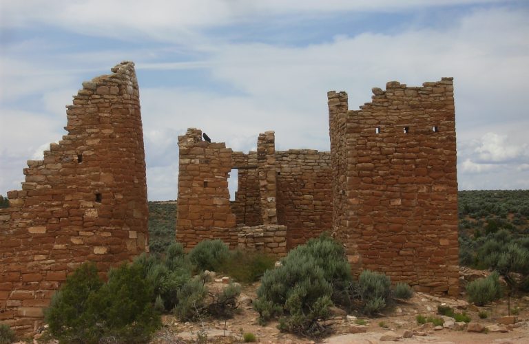 Hovenweep National Monument
Stone towers on canyon rims along the Colorado-Utah border, with a loop around the Square Tower Group and a slot-canyon trail.
-
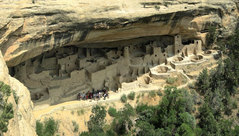 Mesa Verde National Park
Ancestral Puebloan cliff dwellings built into the canyon walls of southwestern Colorado, including Cliff Palace.
-
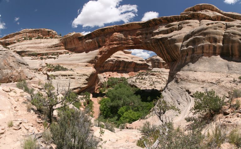 Natural Bridges National Monument
Three giant stone bridges in southeastern Utah’s canyons, with a loop drive, short steep trails and the first International Dark Sky Park.
-
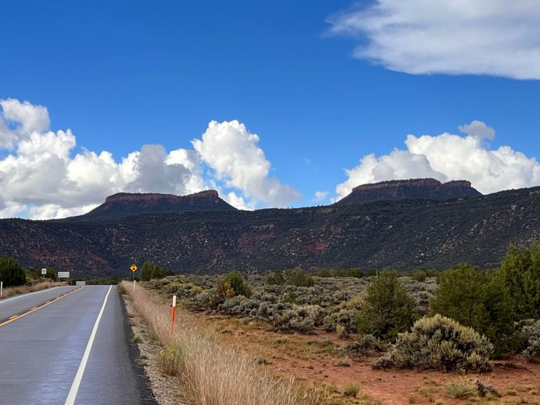 Bears Ears National Monument
Cliff dwellings, Grand Gulch backpacking and Indian Creek climbing in southeastern Utah’s canyon country.
Straight-line distance between park centres. Road distance is usually longer.
Looking for somewhere closer to home?
See every park and monument within a day’s drive of where you are.