

Indiana Dunes National Park
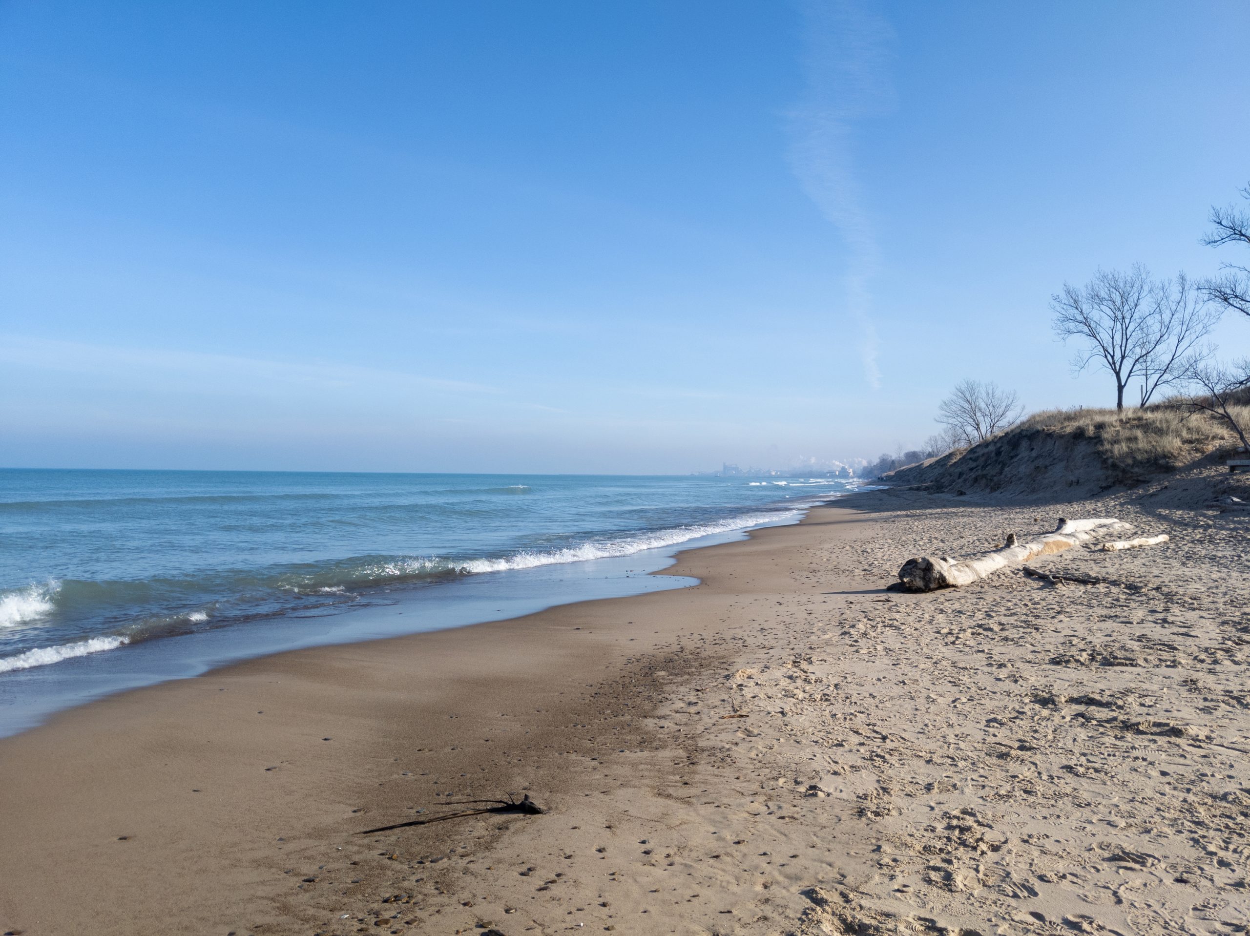
Indiana Dunes packs a startling amount of nature into a slice of the industrial Midwest, 15 miles (24 km) of Lake Michigan beach backed by towering sand dunes, quiet woodlands, wetlands and prairie, all within sight of Chicago’s skyline and the steel mills of the lakeshore. Its improbable mix of habitats makes it one of the most biologically diverse national parks in the country.
Fast facts
- Established: national lakeshore 1966; national park in 2019
- Size: about 15,000 acres (60 km²) along 15 miles (24 km) of Lake Michigan shoreline
- Biodiversity: among the most plant-diverse units in the park system
- Tallest dune: Mount Baldy, a moving dune near the eastern end
- Gateways: the Chesterton / Porter area of northwest Indiana
- Managed by: National Park Service
The landscape
The park layers habitats back from the water: broad sand beaches, high dunes both bare and forested, oak savanna, marsh and bog, and remnant prairie. This range of environments, compressed into a narrow band, supports over 1,100 plant species and a spectacular diversity of birds, making it a legendary spot for spring and fall migration.
Best time to go
Late spring through fall is the main season, warm beach days in summer, superb bird migration in spring and fall, and colorful woodlands in autumn. Summer weekends are busy at the beaches. Winter is cold and quiet, with wind-sculpted dunes and ice formations along the lake for those who bundle up.
Getting there and around
The park stretches along the Lake Michigan shore in northwest Indiana and is easily reached by car off US-12 and US-20, or car-free from Chicago on the South Shore Line commuter train. The units are spread along the lakeshore and interspersed with towns and the state park, so a vehicle helps for moving between beaches and trailheads.
Things to do
Swim and sunbathe on the Lake Michigan beaches, climb the strenuous dunes on the Three Dune Challenge, and hike woodland and wetland trails like the Cowles Bog and Pinhook Bog routes. Birdwatching is world-class during migration, and the paved Calumet and Prairie Duneland trails invite easy walking and cycling. Dunewood Campground offers a base for a longer stay.
Staying safe
Lake Michigan looks benign but can be deadly, cold water and dangerous rip currents form quickly, so heed beach flags and swim near guarded areas. Climbing soft-sand dunes is more strenuous than it looks, so pace yourself and carry water in the sun. Watch for ticks and poison ivy on the trails, and get off the open beach when lake storms roll in fast.
Know before you go
A park pass is required, the campground should be reserved, and note that the separate Indiana Dunes State Park sits within the boundary with its own entrance fee. This page is a general overview, not a live conditions report; always confirm current conditions, beach status and closures with the National Park Service before your trip.
- Coordinates
- 41.6168, -87.0860
- Magnetic declination
- 4.6° W (2026)
Set this declination on your compass, then align it to the map's north lines; it is the angle between true north and magnetic north, refreshed each year.
A spread of the park’s main places shows straight away, and the rest appear as you zoom in. You can also search above, or pick any place from the lists below, and the map will go to it.
Getting there 4
Visitor centres
Ranger stations
On the trail 7
Trailheads
Campground
Hut or shelter
Picnic sites
Sights 38
Viewpoints
Waterfall
Beachs
Heritage site
Point of interest
Peaks 16
Map data comes from third-party sources and may be incomplete or out of date, so carry a current official map (terms).
- Best seasons
- Late spring, Summer, Fall
- Difficulty
- Easy to moderate
- Access / trailheads
- Along the southern shore of Lake Michigan in northwest Indiana, between Gary and Michigan City; reachable by car off US-12/US-20 and by South Shore Line train from Chicago.
- Water
- Drinking water at developed areas; carry water on trails and the beach.
- Cell / satellite coverage
- Generally good cell coverage given the urban surroundings.
- Nearest ranger / SAR / emergency
- Contact park rangers or local dispatch; life-threatening emergencies: 911.
- Permits & regulations
- Per-vehicle entry fee (America the Beautiful pass accepted); Dunewood Campground is reservable. A separate Indiana Dunes State Park sits within the park boundary with its own fee.
- Leave No Trace
- Stay on trails to protect fragile dunes and rare plants, pack out all waste, and follow Leave No Trace.
January
- Below freezing all day
February
- Below-freezing nights
March
- Below-freezing nights
April
May
June
July
August
September This month
October
November
December
- Below-freezing nights
What to bring depends on your trip: how long you’re out, where you sleep, and how far you go from the road. The planner builds the list for yours.
Plan a trip here →Averages for 1991–2020 from NOAA U.S. Climate Normals, measured at the Indiana Dunes National Park station, 1 miles (2 km) away at 683 feet (208 m).