

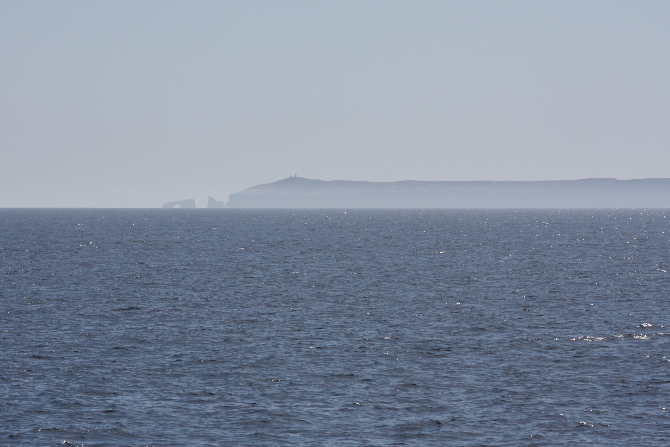
Channel Islands National Park
Often called “the Galapagos of North America,” Channel Islands National Park protects five rugged islands off the Southern California coast and the rich waters around them. Just an hour by boat from the mainland yet a world apart, the islands shelter species found nowhere else on Earth, sea caves and kelp forests, and a wild, undeveloped quiet that vanished from the nearby coast long ago.
Fast facts
- Established: 1980
- Size: about 250,000 acres (1,000 km²) across five islands, half of it underwater
- Islands: Santa Cruz, Anacapa, Santa Rosa, San Miguel and Santa Barbara
- Endemics: the island fox and 150+ species found only here
- Gateways: Ventura and Oxnard, California
- Managed by: National Park Service
The landscape
Each island has its own character, from Anacapa’s slender cliffs and lighthouse to Santa Cruz’s canyons and sea caves and windswept San Miguel. Steep coastal bluffs drop to rocky coves and beaches, grassland and coastal scrub cover the interiors, and the surrounding kelp forests teem with life. Sea lions, seals, whales, dolphins and vast seabird colonies use the islands and waters, and the diminutive island fox trots the trails.
Best time to go
Spring brings green hills and wildflowers with the best chance of calm seas; summer and early fall offer the warmest, clearest water for kayaking and diving. Winter is quieter and green but can bring rough crossings and cold water. Conditions on the water drive everything, so watch the marine forecast whenever you plan a trip.
Getting there and around
The islands are reached only by concessioner boat or small plane from Ventura and Oxnard, with crossings of roughly one to three hours. There are no vehicles, services, stores or lodging on the islands, so once you land you explore entirely on foot or by kayak, carrying everything you need for the day or your stay.
Things to do
Day trips to Santa Cruz or Anacapa offer hiking to cliff-top overlooks and wildlife watching within reach of the boat. Sea kayaking the sea caves of Santa Cruz is a signature adventure, and the waters are prized for snorkeling and diving in the kelp. Backcountry campers overnight on all five islands for solitude, stargazing and dawn wildlife.
Staying safe
The ocean sets the terms: cold water, currents and boat crossings mean you should be ready for immersion and seasickness, and only experienced paddlers should tackle the caves. On land, cliffs are steep and unfenced, there is little shade or water, and wind comes up fast. Carry sun protection, plenty of water and warm layers. Always check the marine forecast and confirm your return boat.
Know before you go
There is no entrance fee, but boat reservations and any camping must be booked ahead, and you must bring everything. There is nothing for sale on the islands. This page is a general overview, not a live conditions report; always confirm current boat schedules, conditions and reservations with the National Park Service and the concessioner before your trip.
- Coordinates
- 33.8487, -119.7394
- Magnetic declination
- 11.6° E (2026)
Set this declination on your compass, then align it to the map's north lines; it is the angle between true north and magnetic north, refreshed each year.
A spread of the park’s main places shows straight away, and the rest appear as you zoom in. You can also search above, or pick any place from the lists below, and the map will go to it.
Getting there 2
Ranger stations
On the trail 7
Campgrounds
Hut or shelter
Sights 68
Viewpoints
Heritage sites
Point of interests
Islands
Peaks 19
Map data comes from third-party sources and may be incomplete or out of date, so carry a current official map (terms).
- Best seasons
- Spring (wildflowers), Summer, Fall
- Difficulty
- Easy to strenuous
- Access / trailheads
- Reached only by concessioner boat or small plane from Ventura and Oxnard; crossings run roughly 1–3 hours depending on the island. No vehicles on the islands.
- Water
- Water is limited or absent on most islands. Bring all you need (Scorpion on Santa Cruz has some in season).
- Cell / satellite coverage
- Little to no cell service on the islands. Carry a plan and tell someone your itinerary.
- Nearest ranger / SAR / emergency
- Marine emergencies: U.S. Coast Guard (VHF 16); life-threatening emergencies: 911.
- Permits & regulations
- No entrance fee; camping on all islands requires a reservation, and there are no services, so visitors must be fully self-sufficient.
- Leave No Trace
- Pack out everything, protect fragile island species and archaeology, camp only at designated sites, and follow Leave No Trace.
January
February
March
April
May
June
July
August
September This month
October
November
December
What to bring depends on your trip: how long you’re out, where you sleep, and how far you go from the road. The planner builds the list for yours.
Plan a trip here →Averages for 1991–2020 from NOAA U.S. Climate Normals, measured at the Oxnard Ventura County Airport station, 29 miles (47 km) away at 39 feet (12 m). Conditions change with elevation: expect it colder higher up.