

Morrow Mountain State Park
Fast facts
- Size: about 5,880 acres (23.8 km²) in the Uwharrie Mountains
- High point: Morrow Mountain, 936 feet (285 m), about 400 feet (120 m) above the country around it
- Trails: more than 20 miles (32 km) of hiking trail and 33 miles (53 km) of bridle trail
- Water: Lake Tillery and the Yadkin-Pee Dee River, with a boat ramp and seasonal rentals
- Camping: a campground with some electric sites, group sites, backpack sites and cabins
- Opened: 1939
- Managed by: North Carolina State Parks
The landscape
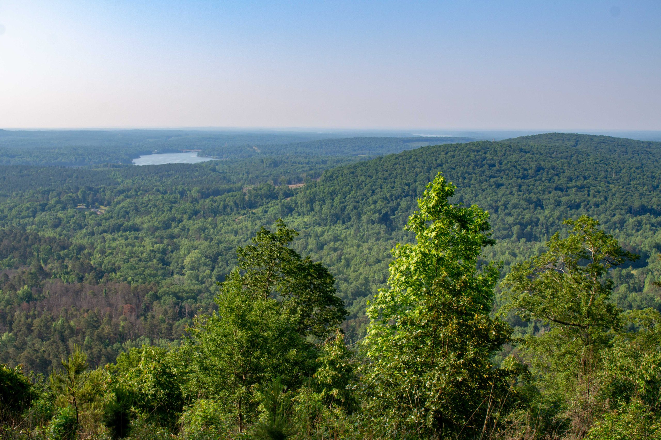
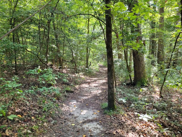
The Uwharries are among the oldest mountains in the eastern United States, the stumps of a volcanic range that once stood thousands of feet higher. What is left is a cluster of steep, rounded hills under 1,000 feet (300 m), covered in oak, hickory and pine. Morrow Mountain, Sugarloaf, Hattaway and Fall mountains stand above the place where the Yadkin and Uwharrie rivers join to form the Pee Dee, now backed up as Lake Tillery.
The top of Morrow Mountain is made of rhyolite, a fine-grained volcanic stone that flakes to a sharp edge. People quarried it here for at least 10,000 years, and spear points made from it have been found from Maine to Florida; the summit is still littered with their chips, which must be left in place. The Civilian Conservation Corps built the park’s stone buildings, roads and swimming pool in the 1930s from another local stone, argillite.
Best time to go
Spring and fall are the best hiking seasons, with dogwood and redbud in April and colour in late October and early November. Summer is hot and humid; it is the season for the lake and, when it is operating, the pool, with hiking best left to early morning. Winter is mild, quiet and gives the longest views from the summit. The park is open all year.
Getting there and around
From Albemarle, follow the signs east to the park gate. The park office and a small museum of local natural and human history are near the entrance. One road climbs to the summit of Morrow Mountain, with parking, picnic shelters and an overlook at the top; another leads down to the boathouse and ramp on Lake Tillery. The campground, cabins and the restored Kron House, the home of an early doctor, are on side roads.
Things to do
You can drive to the summit, where the Mountain Loop Trail circles the top in an easy 0.8 miles (1.3 km) with views in every direction. To earn it on foot, the Morrow Mountain Trail climbs 2.6 miles (4.2 km) from near the park office. Sugarloaf Mountain and Hattaway Mountain are each a strenuous loop of 3.3 miles (5.3 km), and the Fall Mountain Trail is a 4.1-mile (6.6 km) loop that follows the lakeshore before crossing the ridge. The Three Rivers Trail is an easy mile (1.6 km) through the bottomland by the boat ramp.
The Backpack Trail leads 2 miles (3.2 km) to the park’s backpack campsites, a good first overnight trip. Riders have three bridle loops of 5.6, 10.1 and 17.3 miles (9, 16 and 28 km). On the water, canoes and kayaks are rented at the boathouse on summer weekends, and anglers fish Lake Tillery for bass, crappie and catfish.
Staying safe
Heat is the usual trouble. Summer afternoons are hot and very humid, and the climbs are steeper than the low elevations suggest; carry water, start early and rest in the shade. Ticks and chiggers are abundant from spring to fall, so use repellent, stay on the trail and check yourself afterward. Copperheads are common in leaf litter and around rocks and logs; watch where you step, and use a light after dark.
Learn to recognise poison ivy, which lines many trails. Thunderstorms build quickly on summer afternoons: get off the summits and off the lake when you hear thunder. On Lake Tillery, wear a life jacket and keep clear of powerboats.
Know before you go
Pets are welcome on a leash of 6 feet (1.8 m) or less but not at the pool or in buildings and cabins. Collecting rocks or artifacts is against the law. The swimming pool, boat rentals and concession stand are seasonal and do not operate every year. This page is a general overview, not a live conditions report, so check what is open with North Carolina State Parks before you go.
- Coordinates
- 35.3809, -80.0830
- Magnetic declination
- 8.5° W (2026)
Set this declination on your compass, then align it to the map's north lines; it is the angle between true north and magnetic north, refreshed each year.
How declination works, and how to navigate with a map and compass
A spread of the park’s main places shows straight away, and the rest appear as you zoom in. You can also search above, or pick any place from the lists below, and the map will go to it. Places in bold, marked , have a short description.
Getting there 2
Park entrance
Ranger station
On the trail 10
Routes
Campgrounds
Huts and shelters
Sights 8
Heritage site
Point of interest
Peaks
Map data comes from third-party sources and may be incomplete or out of date, so carry a current official map (terms).
Looking for one of these closer to home?Destinations near me by trip type →
- Best seasons
- Spring, Fall (colour), Winter, Summer (on the water)
- Difficulty
- Easy to moderate
- Access / trailheads
- About 7 miles (11 km) east of Albemarle and 50 miles (80 km) northeast of Charlotte. Morrow Mountain Road leads from Highway 740 to the park office, and park roads continue to the summit, the campground and the boat launch on Lake Tillery.
- Water
- Drinking water at the park office, campground, picnic areas and summit. None on the trails; treat creek water at the backpack sites.
- Cell / satellite coverage
- Fair on the summits and near the office, weak in the hollows and along the river.
- Nearest ranger / SAR / emergency
- Emergencies: 911. Park office: 704-982-4402.
- Permits & regulations
- No fee for day use. Fees apply for camping, cabins, boat rentals and the swimming pool. Campsites, backpack sites and cabins are reserved through North Carolina State Parks. A North Carolina fishing licence is needed to fish.
- Leave No Trace
- Stay on the trails, leave stone flakes and other artifacts where they lie, keep pets on a leash of 6 feet (1.8 m) or less, and pack out all trash.
January
- Below-freezing nights
February
March
April
May
June
July
August
September
October This month
November
December
What to bring depends on your trip: how long you’re out, where you sleep, and how far you go from the road. The planner builds the list for yours.
Plan a trip here →Averages for 1991–2020 from NOAA U.S. Climate Normals, measured at the Albemarle station, 8 miles (12 km)12 km (8 miles) away at 610 feet (186 m)186 m (610 feet). Higher trails run colder, by about 3.5°F for every 1,000 ft (2°C per 300 m)2°C for every 300 m (3.5°F per 1,000 ft) of climb. Daylight runs from sunrise to sunset on the 15th, on the park’s own clock, for a level horizon. Valleys and slopes facing away from the sun are in shade earlier.
Nearby parks
-
 Pilot Mountain State Park
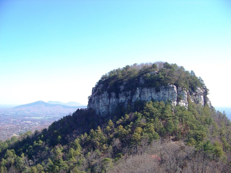
A quartzite knob visible for miles across the North Carolina Piedmont, with summit overlooks, cliff-foot trails and a quiet stretch of the Yadkin River.
-
 Hanging Rock State Park
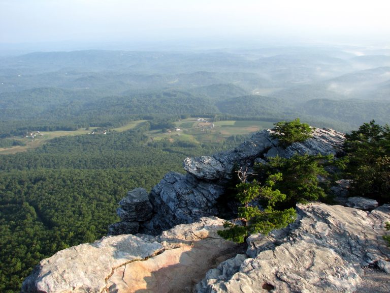
Quartzite summits, cliff-top views and five waterfalls in the Sauratown Mountains, the range that stands apart from the Blue Ridge.
-
 South Mountains State Park
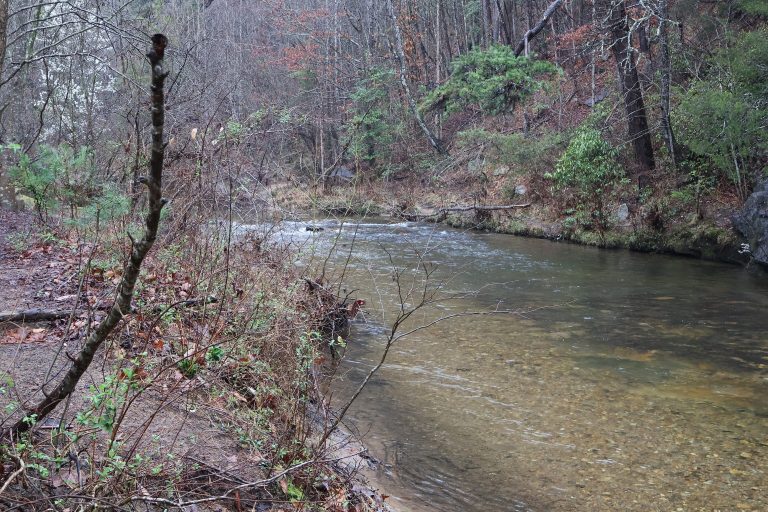
A backcountry park in the foothills east of Asheville, with an 80-foot (24 m) waterfall and 50 miles (80 km) of trail.
-
 Congaree National Park
The Southeast's largest old-growth bottomland forest: champion trees, a boardwalk loop and paddling on Cedar Creek.
Straight-line distance between park centres. Road distance is usually longer.
Looking for somewhere closer to home?
See every park and monument within a day’s drive of where you are.