

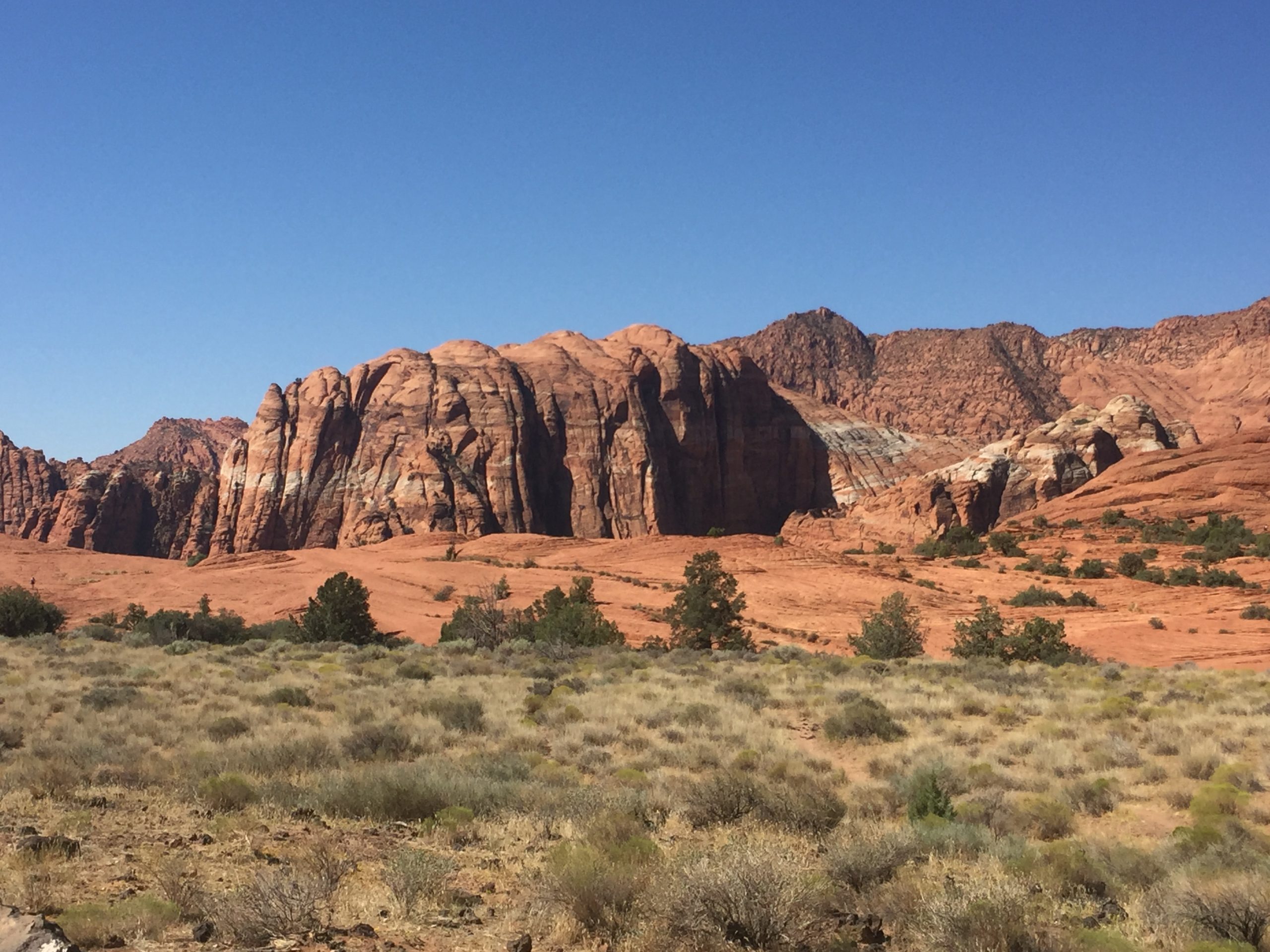
Snow Canyon State Park
Fast facts
- Size: about 7,400 acres (30 km²) within the Red Cliffs Desert Reserve
- Elevation: 3,100 to 4,100 feet (945 to 1,250 m)
- Trails: more than 38 miles (61 km) of hiking trail, a 3-mile (4.8 km) paved path and 15 miles (24 km) of equestrian trail
- Camping: one campground with about 30 sites; no backcountry camping
- Created: 1959; opened in 1962
- Gateway: St. George and Ivins
- Managed by: Utah State Parks
The landscape
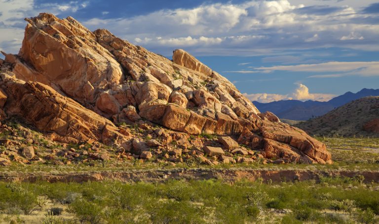
Snow Canyon is cut into the Navajo Sandstone of the Red Mountains: cliffs and domes of orange-red rock capped in places with white, the fossil remains of sand dunes about 180 million years old. Much later, lava poured in from cinder cones to the north and ran down the canyon floor, and the black basalt now lies across the red rock in jagged flows riddled with lava tubes. Loose sand has gathered into small living dunes at the canyon’s mouth.
The park sits where the Mojave Desert, the Great Basin and the Colorado Plateau meet, and gets about 7.5 inches (190 mm) of rain a year. Creosote, sagebrush and yucca cover the flats. It lies inside the Red Cliffs Desert Reserve, set aside for the threatened desert tortoise, and Gila monsters, sidewinders and peregrine falcons live here as well. The name honours two Utah pioneers named Snow; snow itself is rare.
Best time to go
October to April is the season. Days are mild, the low sun colours the cliffs, and spring brings wildflowers. From late May to September, afternoon temperatures commonly pass 100°F (38°C) and the trails have almost no shade, so summer hiking belongs to the first hours after sunrise. Late-summer thunderstorms can send water down the washes. The park is open every day of the year.
Getting there and around
Snow Canyon Drive runs the length of the main canyon, about 5 miles (8 km), with trailheads and pullouts every few minutes. Enter from Ivins at the south end or from Utah Route 18 at the north. The campground and Visitor Center are about 2 miles (3 km) in from either entrance. The road is closed for a few hours on the mornings of running races several times a year. The paved Whiptail Trail parallels the road and suits bicycles, strollers and wheelchairs.
Things to do
The trails are short and can be strung together. Jenny’s Canyon is a half-mile (0.8 km) round trip to a small slot canyon. The Sand Dunes are a short walk from their picnic area and a favourite with children. Hidden Pinyon is a 1.5-mile (2.4 km) nature loop through rock passages, and Pioneer Names, half a mile (0.8 km), leads to an alcove where settlers wrote their names in axle grease in the 1880s. The Petrified Dunes and Lava Flow trails cross the swirling sandstone and the basalt, with lava tubes to look into along the way.
Johnson Canyon, a 2-mile (3.2 km) round trip to a large natural arch and a shaded box canyon, is open only from mid-September to mid-March. The paved Whiptail Trail runs 3 miles (4.8 km) each way through the canyon. Climbers use bolted routes on the sandstone walls, riders have 15 miles (24 km) of equestrian trail, and the park is a designated Urban Night Sky Place.
Staying safe
Heat is the danger. In summer, hike only early in the morning, carry more water than you expect to drink, wear a hat and turn back before you are tired; people are rescued here every year from short trails. There is no water away from the campground. Rattlesnakes are active in warm weather, so watch where you step and put your hands, most of all around rocks and the lava.
Slickrock and lava are uneven and some trails follow ledges, so wear shoes with good grip. Below the cliffs, be alert for falling rock. Do not enter lava tubes without a light and never alone. Stay out of washes when storms are about. If you meet a desert tortoise, give it room and do not pick it up: a frightened tortoise empties its bladder and can die of the water loss.
Know before you go
Dogs are allowed, on a leash, only on the paved Whiptail Trail and the West Canyon Road, and in the campground. Scrambling on the rock is permitted only in signed areas, to protect the sandstone. Drones need a permit. This page is a general overview, not a live conditions report, so check road closures, heat advisories and trail status with Utah State Parks before you go.
- Coordinates
- 37.1959, -113.6390
- Magnetic declination
- 10.7° E (2026)
Set this declination on your compass, then align it to the map's north lines; it is the angle between true north and magnetic north, refreshed each year.
How declination works, and how to navigate with a map and compass
A spread of the park’s main places shows straight away, and the rest appear as you zoom in. You can also search above, or pick any place from the lists below, and the map will go to it. Places in bold, marked , have a short description.
Getting there 3
Park entrances
Visitor centre
On the trail 20
Trailheads
Route
Campgrounds
Picnic sites
Sights 12
Viewpoints
Lake
Heritage sites
Points of interest
Peaks
Map data comes from third-party sources and may be incomplete or out of date, so carry a current official map (terms).
Looking for one of these closer to home?Destinations near me by trip type →
- Best seasons
- Fall, Winter, Spring
- Difficulty
- Easy to moderate
- Access / trailheads
- About 9 miles (14 km) northwest of St. George. Snow Canyon Drive runs through the park between the south entrance at Ivins and the north entrance on Utah Route 18.
- Water
- Drinking water at the campground and Visitor Center. None on the trails; carry at least a quart (1 litre) per person for every hour in warm weather.
- Cell / satellite coverage
- Fair along Snow Canyon Drive, weak in the side canyons.
- Nearest ranger / SAR / emergency
- Emergencies: 911. Park office: 435-628-2255.
- Permits & regulations
- A day-use fee is charged per vehicle. Campsites should be reserved through Utah State Parks. Dogs are limited to two trails. Johnson Canyon is closed from March 15 to September 14 except on ranger-led hikes. The park is open from 6 a.m. to 10 p.m.
- Leave No Trace
- Stay on the trails and off the dark soil crust, never touch or move a desert tortoise, scramble only where signs allow it, and pack out all trash.
January
- Below-freezing nights
February
- Below-freezing nights
March
April
May
June
- Hot days
- Day-to-night swing of 31°F (17°C)Day-to-night swing of 17°C (31°F)
July
- Extreme daytime heat
- Day-to-night swing of 30°F (17°C)Day-to-night swing of 17°C (30°F)
August
- Extreme daytime heat
- Day-to-night swing of 30°F (17°C)Day-to-night swing of 17°C (30°F)
September
- Hot days
- Day-to-night swing of 31°F (17°C)Day-to-night swing of 17°C (31°F)
October This month
- Day-to-night swing of 32°F (18°C)Day-to-night swing of 18°C (32°F)
November
December
- Below-freezing nights
What to bring depends on your trip: how long you’re out, where you sleep, and how far you go from the road. The planner builds the list for yours.
Plan a trip here →Averages for 1991–2020 from NOAA U.S. Climate Normals, measured at the St George station, 6 miles (10 km)10 km (6 miles) away at 2,857 feet (871 m)871 m (2,857 feet). Higher trails run colder, by about 3.5°F for every 1,000 ft (2°C per 300 m)2°C for every 300 m (3.5°F per 1,000 ft) of climb. Daylight runs from sunrise to sunset on the 15th, on the park’s own clock, for a level horizon. Valleys and slopes facing away from the sun are in shade earlier.
Nearby parks
-
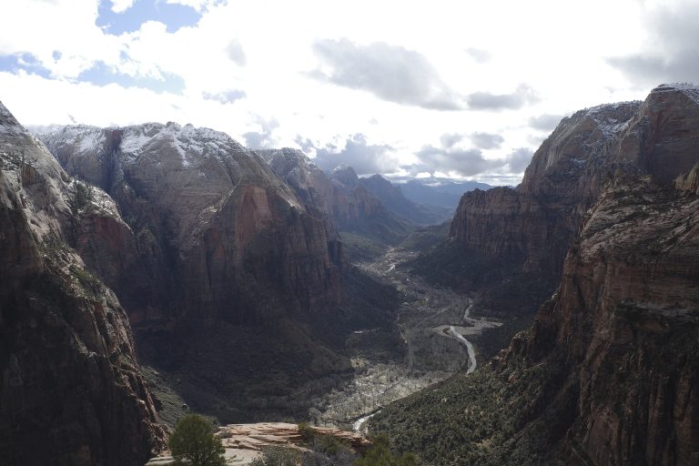 Zion National Park
Towering sandstone walls above the Virgin River in southwest Utah, with Angels Landing, the Narrows and the quieter Kolob Canyons.
-
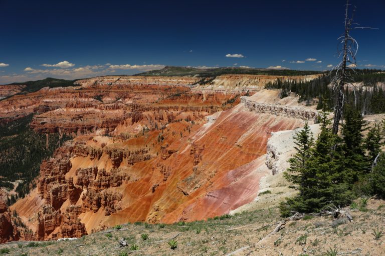 Cedar Breaks National Monument
A half-mile-deep (800 m) amphitheatre of orange spires above 10,000 feet (3,050 m) near Cedar City, Utah, with rim walks and ancient bristlecone pines.
-
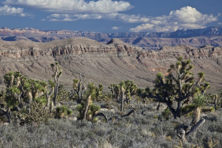 Grand Canyon-Parashant National Monument
A million roadless-feeling acres on the Arizona Strip above the western Grand Canyon, with no paved roads, no services and total solitude.
-
 Gold Butte National Monument
Red sandstone, rock art and remote desert near Mesquite, Nevada, reached by long dirt roads with no services.
Straight-line distance between park centres. Road distance is usually longer.
Looking for somewhere closer to home?
See every park and monument within a day’s drive of where you are.