

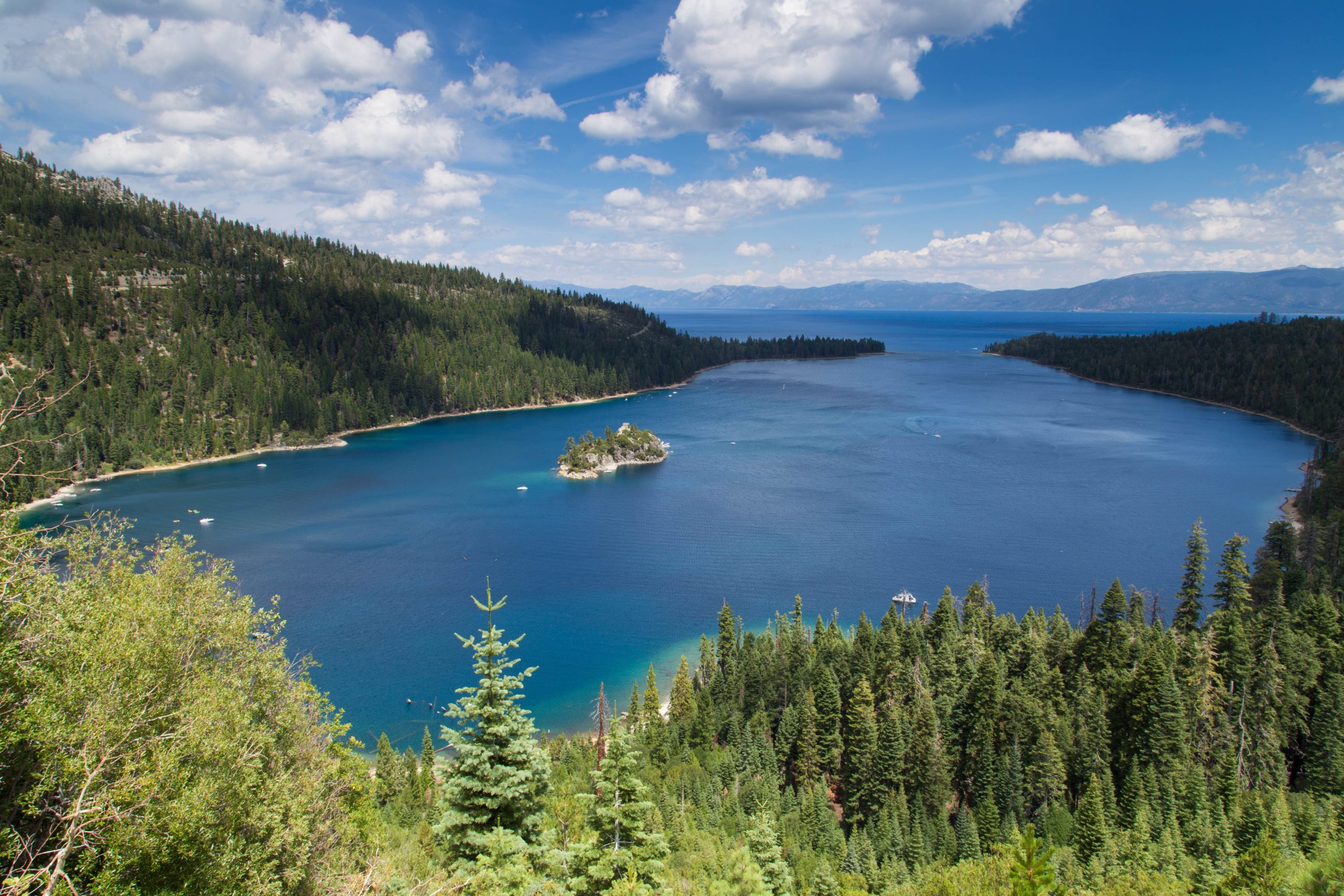
Emerald Bay State Park
Fast facts
- Size: about 1,530 acres (6.2 km²), plus the waters of the bay, an underwater park
- The bay: about 1.7 miles (2.7 km) long, with Fannette Island, the only island in Lake Tahoe
- Known for: Vikingsholm, Eagle Falls and the view from Highway 89
- Camping: Eagle Point Campground and a boat-in camp, both summer only
- Established: 1953; a National Natural Landmark since 1969
- Gateway: South Lake Tahoe, 12 miles (19 km) south
- Managed by: California State Parks
The landscape
Emerald Bay is a narrow inlet on the southwest shore of Lake Tahoe, scooped out by a glacier and almost closed off from the main lake by the ridges of debris the ice left behind. Granite slopes covered in pine, fir and cedar rise steeply on three sides, and the shallow water near shore is the blue-green that gives the bay its name. Fannette Island, a knob of granite with the ruin of a stone tea house on top, sits near the head of the bay.
On the shore stands Vikingsholm, a 38-room summer house finished in 1929 and modelled on old Scandinavian buildings, considered one of the best examples of that style in the United States. Eagle Creek comes down past it over Eagle Falls. The bay itself has been part of the park since 1994, protecting old barges, boats and other wrecks on the bottom, and ospreys and bald eagles nest around it.
Best time to go
June to September is the season: the campgrounds are open, Vikingsholm gives tours and the water is at its least cold. It is also crowded, and the small parking lots fill by mid-morning, so arrive before 9 a.m. or after 3 p.m., come on a weekday, or use the summer shuttle. September and early October are quieter and often clear. In winter the trails are snow-covered and Highway 89 around the bay closes at times for snow and avalanche danger; there are no services.
Getting there and around
Highway 89 runs high above the bay. The Vikingsholm parking lot, on the lake side of the road, takes vehicles up to 18 feet (5.5 m) and no trailers; it is closed and gated when full, and cars parked on the highway are towed. From the lot, a wide trail drops about 400 feet (120 m) in a mile (1.6 km) to Vikingsholm and the beach. There are no rides back up. Eagle Point Campground has its own entrance to the south, and boaters and paddlers can enter the bay from the lake.
Things to do
Most visitors walk down to Vikingsholm, a round trip of about 2 miles (3.2 km), to see the house, the beach and the pier; tours of the interior run in summer. Lower Eagle Falls is a quarter-mile (400 m) behind the visitor center at the bottom. The Rubicon Trail follows the shoreline from Eagle Point around the bay and north to D.L. Bliss State Park, about 4.5 miles (7 km) one way from Vikingsholm, close above clear water the whole way.
Paddlers and boaters can land on Fannette Island and climb to the tea house, except in spring when it is closed for nesting birds. The boat-in camp on the north shore is reached only by water or on foot along the Rubicon Trail. Across the highway, Forest Service trails climb to Eagle Lake and into the Desolation Wilderness, which needs its own permit.
Staying safe
The walk down is easy and the walk back is not: 400 feet (120 m) of climbing in a mile (1.6 km), at about 6,800 feet (2,070 m) above sea level, where visitors from low elevations tire quickly and can feel light-headed. Take water and snacks, rest often, and do not start down with anyone who has a heart or breathing condition or trouble walking. Lake Tahoe is cold enough even in August to take your breath and strength within minutes; wear a life jacket on the water and do not swim to Fannette Island, which lies across a busy boat lane.
Black bears are active around the bay. In the campgrounds, all food, coolers and toiletries must be kept in the metal bear lockers day and night, not in a vehicle. Park only in marked spaces and watch for traffic on the narrow highway. In winter and spring, expect snow and ice on the trail and check that Highway 89 is open.
Know before you go
Dogs are not allowed on any trail, road or beach in the park, including the Vikingsholm trail and the Rubicon Trail; they are permitted only on boats and at the parking lot overlook. Overnight parking is not allowed in the Vikingsholm lot. Fannette Island is closed in spring for nesting birds. This page is a general overview, not a live conditions report, so check campground dates, tour times, road status and parking with California State Parks before you go.
- Coordinates
- 38.9604, -120.0931
- Magnetic declination
- 12.7° E (2026)
Set this declination on your compass, then align it to the map's north lines; it is the angle between true north and magnetic north, refreshed each year.
How declination works, and how to navigate with a map and compass
A spread of the park’s main places shows straight away, and the rest appear as you zoom in. You can also search above, or pick any place from the lists below, and the map will go to it. Places in bold, marked , have a short description.
Getting there 1
Park entrance
On the trail 5
Routes
Campgrounds
Sights 6
Viewpoint
Waterfalls
Heritage sites
Island
Map data comes from third-party sources and may be incomplete or out of date, so carry a current official map (terms).
Looking for one of these closer to home?Destinations near me by trip type →
- Best seasons
- Summer, Early fall, Late spring
- Difficulty
- Easy to moderate
- Access / trailheads
- On California Highway 89 on the southwest shore of Lake Tahoe, 12 miles (19 km) north of South Lake Tahoe. No road reaches the water: the lake is a steep mile (1.6 km) on foot from the Vikingsholm parking lot, or a boat trip.
- Water
- Restrooms and water at lake level near Vikingsholm in season, and at the campground. Carry water for the climb back to the highway.
- Cell / satellite coverage
- Patchy along Highway 89 and weak at lake level.
- Nearest ranger / SAR / emergency
- Emergencies: 911. Park office: 530-541-3030.
- Permits & regulations
- A parking fee is charged at the Vikingsholm lot. Campsites at Eagle Point and the boat-in camp are reserved through ReserveCalifornia. No dogs, fires, drones or bicycles on the trails. The park is open from sunrise to sunset.
- Leave No Trace
- Pack out everything you bring, store all food in the bear lockers day and night, stay on the trails, and leave Fannette Island's nesting birds undisturbed.
January
- Below-freezing nights
February
- Below-freezing nights
March
- Below-freezing nights
April
- Below-freezing nights
May
June
July
- Day-to-night swing of 31°F (17°C)Day-to-night swing of 17°C (31°F)
August
- Day-to-night swing of 30°F (17°C)Day-to-night swing of 17°C (30°F)
September
October This month
November
- Below-freezing nights
December
- Below-freezing nights
What to bring depends on your trip: how long you’re out, where you sleep, and how far you go from the road. The planner builds the list for yours.
Plan a trip here →Averages for 1991–2020 from NOAA U.S. Climate Normals, measured at the Tahoma station, 7 miles (12 km)12 km (7 miles) away at 6,315 feet (1,925 m)1,925 m (6,315 feet). Higher trails run colder, by about 3.5°F for every 1,000 ft (2°C per 300 m)2°C for every 300 m (3.5°F per 1,000 ft) of climb. Daylight runs from sunrise to sunset on the 15th, on the park’s own clock, for a level horizon. Valleys and slopes facing away from the sun are in shade earlier.
Nearby parks
-
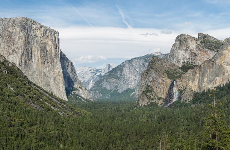 Yosemite National Park
El Capitan and Half Dome above Yosemite Valley's waterfalls, with giant sequoias and the high country of Tuolumne Meadows.
-
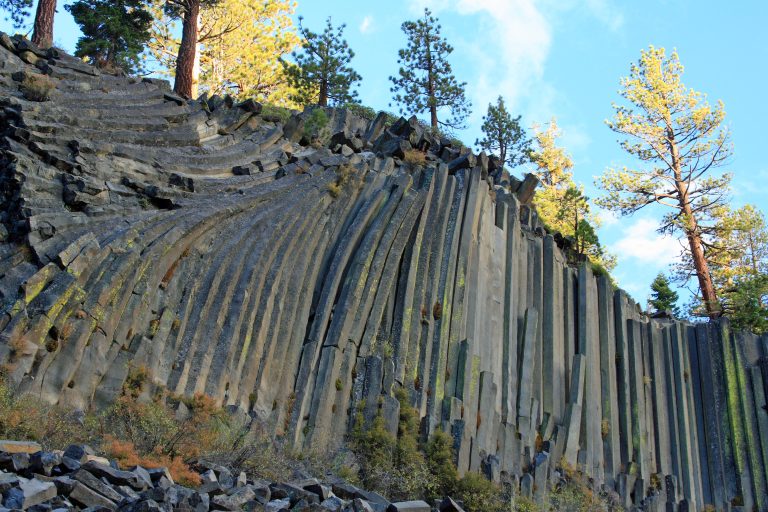 Devils Postpile National Monument
Basalt columns up to 60 feet (18 m) tall and 101-foot (31 m) Rainbow Falls near Mammoth Lakes, where the JMT and PCT cross.
-
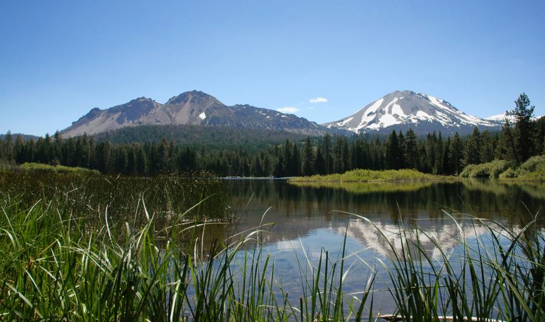 Lassen Volcanic National Park
Every type of volcano in one park in northern California, with Lassen Peak, boiling mud pots and the fumaroles of Bumpass Hell.
-
 Henry W. Coe State Park
Northern California's largest state park: 87,000 acres (350 km²) of steep, empty Diablo Range backcountry near San Jose.
Straight-line distance between park centres. Road distance is usually longer.
Looking for somewhere closer to home?
See every park and monument within a day’s drive of where you are.