

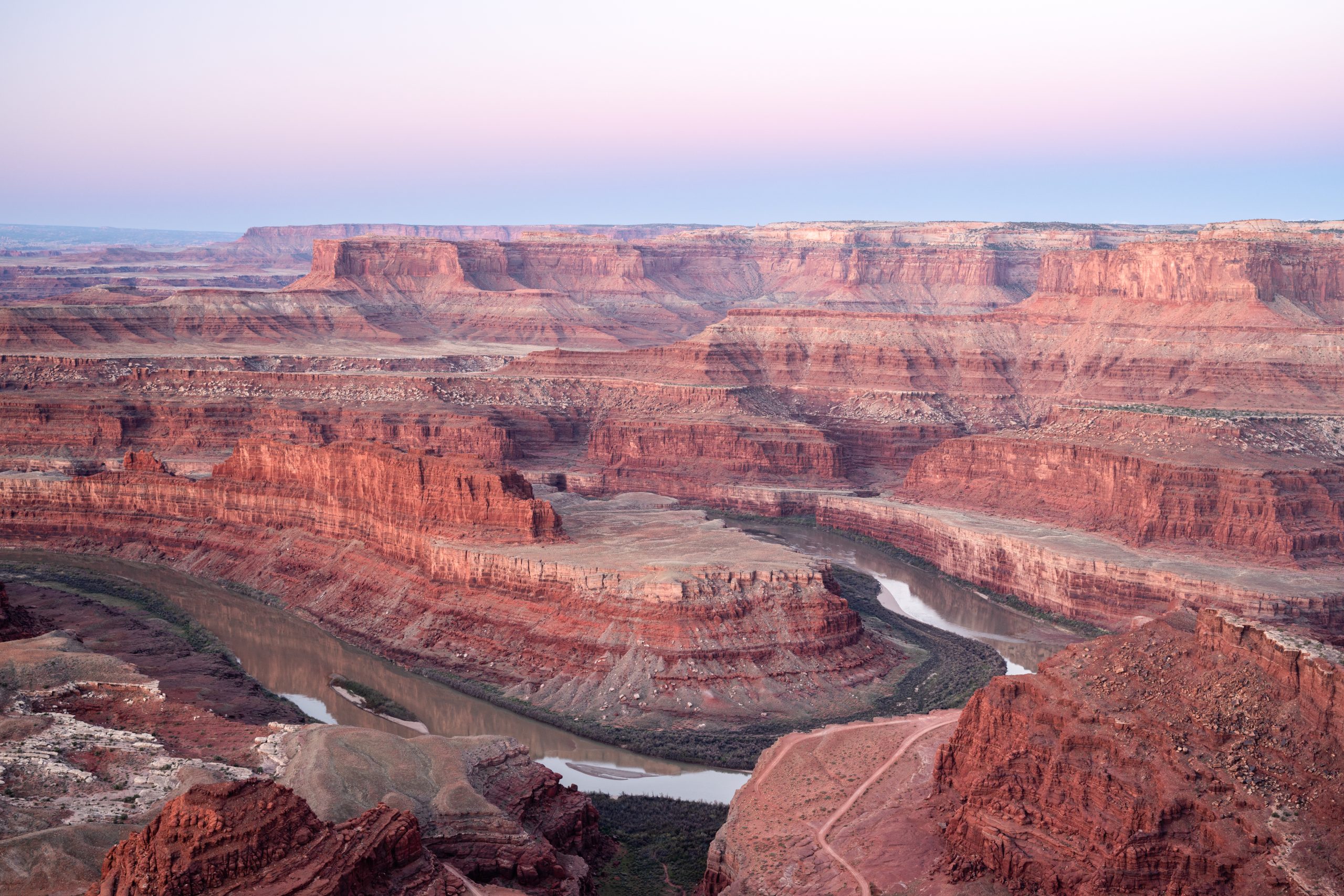
Dead Horse Point State Park
Fast facts
- Size: about 5,360 acres (21.7 km²) of high desert mesa
- Elevation: about 5,900 feet (1,800 m), some 2,000 feet (600 m) above the Colorado River
- Trails: about 7 miles (11 km) of rim hiking trail linking nine overlooks, plus 17 miles (27 km) of mountain bike trail
- Camping: 52 campsites in two campgrounds, 11 of them hike-in tent sites, and nine yurts
- Opened: 1959
- Gateway: Moab, about 32 miles (51 km) by road
- Managed by: Utah State Parks
The landscape
Dead Horse Point is the tip of a mesa that juts out over the canyon of the Colorado River. From the overlook at its end, the ground falls away about 2,000 feet (600 m) in steps of red, orange and cream rock to a tight gooseneck bend in the river, with the buttes and mesas of Canyonlands National Park beyond and the La Sal Mountains to the east. The layers exposed in the walls record about 300 million years. The mesa top is pinyon and juniper woodland, sagebrush flat and bare slickrock, with shallow potholes that fill with rain and briefly hold fairy shrimp and tadpoles.
The point is joined to the rest of the mesa by a neck of land only about 30 yards (27 m) wide. According to the legend behind the name, cowboys in the 1800s fenced the neck to corral wild horses on the point, and a band left there died of thirst within sight of the river. The park is a certified International Dark Sky Park.
Best time to go
Spring and fall are the best seasons, with mild days and cold nights; they are also the busiest, and campsites book months ahead. Summer days often pass 95°F (35°C) with no shade on the trails, so hike at sunrise or in the evening, when the light on the canyon walls is at its best in any case. July to September brings afternoon thunderstorms. Winter is cold and quiet, with occasional snow that makes the slickrock and the overlook paths icy. The park is open all year.
Getting there and around
Utah Route 313 leaves US Highway 191 north of Moab and climbs onto the mesa, ending at the park; the turn for the Island in the Sky district of Canyonlands is on the same road. Inside the park, the road passes the campgrounds and the Visitor Center, which is open daily, and runs 1.5 miles (2.4 km) farther to the parking area at Dead Horse Point. There is no fuel, and food is limited to a small coffee shop, so arrive with a full tank and what you need.
Things to do
The main overlook is 200 feet (60 m) from the parking lot on a paved, accessible path, with a large shade shelter at the rim. To see more, walk there instead of driving: the East Rim Trail runs 1.5 miles (2.4 km) from the Visitor Center to the point, and the West Rim Trail returns in 2.5 to 3.5 miles (4 to 5.6 km), for a loop of 5 miles (8 km) or more over mostly level ground. The Bighorn Overlook Trail, a 1.5-mile (2.4 km) spur from the west side, is the quietest and has views to match the point. The west side routes cross open slickrock and are marked by cairns.
Mountain bikers ride the Intrepid Trail System, 17 miles (27 km) of singletrack loops of varying difficulty starting near the Visitor Center, where bikes can be rented. A newer set of trails along the far east rim, about 6 miles (10 km) in all, is shared by hikers and cyclists. After dark, the mesa has some of the clearest night skies in the region, and rangers run stargazing programs.
Staying safe
The rim is the hazard. Apart from the main overlook, the cliff edges are unfenced, the rock at the lip can be loose or sandy, and the drop is hundreds of feet. Keep children and dogs close and stay back from the edge, most of all when taking photographs or in wind. The mesa is the highest ground for miles: if a thunderstorm is building, leave the rim and the open slickrock and get to a vehicle or building.
In summer, heat and dehydration are real risks even on short, flat trails. Carry and drink plenty of water, wear a hat, and avoid the middle of the day. In winter, shaded slickrock and the paved overlook paths hold ice. Help is far away: the nearest fuel, food and hospital are in Moab, more than 30 miles (48 km) off, and phone signal is unreliable, so tell someone your plans.
Know before you go
Dogs are allowed on the hiking trails on a leash, but not in the yurts. The 11 hike-in sites at Wingate Campground are for tents only; camper vans and rooftop tents are turned away. Entry here does not cover Canyonlands National Park, which has its own fee. This page is a general overview, not a live conditions report, so check weather, fire restrictions and campground status with Utah State Parks before you go.
- Coordinates
- 38.5045, -109.7273
- Magnetic declination
- 9.5° E (2026)
Set this declination on your compass, then align it to the map's north lines; it is the angle between true north and magnetic north, refreshed each year.
How declination works, and how to navigate with a map and compass
A spread of the park’s main places shows straight away, and the rest appear as you zoom in. You can also search above, or pick any place from the lists below, and the map will go to it. Places in bold, marked , have a short description.
Getting there 2
Park entrance
Visitor centre
On the trail 11
Trailheads
Routes
Campground
Huts and shelters
Sights 7
Viewpoints
Peak
Map data comes from third-party sources and may be incomplete or out of date, so carry a current official map (terms).
Looking for one of these closer to home?Destinations near me by trip type →
- Best seasons
- Spring, Fall, Winter (quiet and cold), Summer mornings and evenings
- Difficulty
- Easy to moderate
- Access / trailheads
- From US Highway 191 about 9 miles (14 km) north of Moab, take Utah Route 313 southwest for 23 miles (37 km) to the end of the road. It is about 32 miles (51 km) from Moab, with no fuel or services on the way.
- Water
- Drinking water at the Visitor Center and campgrounds, but no RV fill-up anywhere in the park, so fill tanks in Moab or Green River. None on the trails; carry a gallon (4 litres) per person per day in warm weather.
- Cell / satellite coverage
- Limited and unreliable. Wi-Fi is available at the Visitor Center.
- Nearest ranger / SAR / emergency
- Emergencies: 911. Visitor Center: 435-259-2614. The nearest hospital is in Moab.
- Permits & regulations
- A day-use fee is charged per vehicle. Campsites and yurts should be reserved well ahead through Utah State Parks. The park is open from 6 a.m. to 10 p.m. all year.
- Leave No Trace
- Stay on the trail and off the dark, crusted soil, which is alive and takes decades to recover. Keep dogs leashed, keep lights low for the dark sky, and pack out all trash.
January
- Below-freezing nights
February
- Below-freezing nights
March
April
May
June
July
- Hot days
August
September
October This month
November
December
- Below-freezing nights
What to bring depends on your trip: how long you’re out, where you sleep, and how far you go from the road. The planner builds the list for yours.
Plan a trip here →Averages for 1991–2020 from NOAA U.S. Climate Normals, measured at the Canyonlands-the Neck station, 5 miles (8 km)8 km (5 miles) away at 5,871 feet (1,789 m)1,789 m (5,871 feet). Higher trails run colder, by about 3.5°F for every 1,000 ft (2°C per 300 m)2°C for every 300 m (3.5°F per 1,000 ft) of climb. Daylight runs from sunrise to sunset on the 15th, on the park’s own clock, for a level horizon. Valleys and slopes facing away from the sun are in shade earlier.
Nearby parks
-
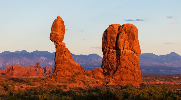 Arches National Park
More than 2,000 natural stone arches in red-rock desert just north of Moab, from Delicate Arch to the maze of the Fiery Furnace.
-
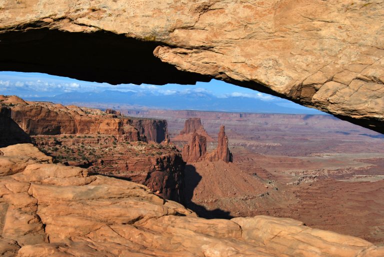 Canyonlands National Park
Utah's vast canyon country, split by the Green and Colorado rivers into Island in the Sky, the Needles and the remote Maze.
-
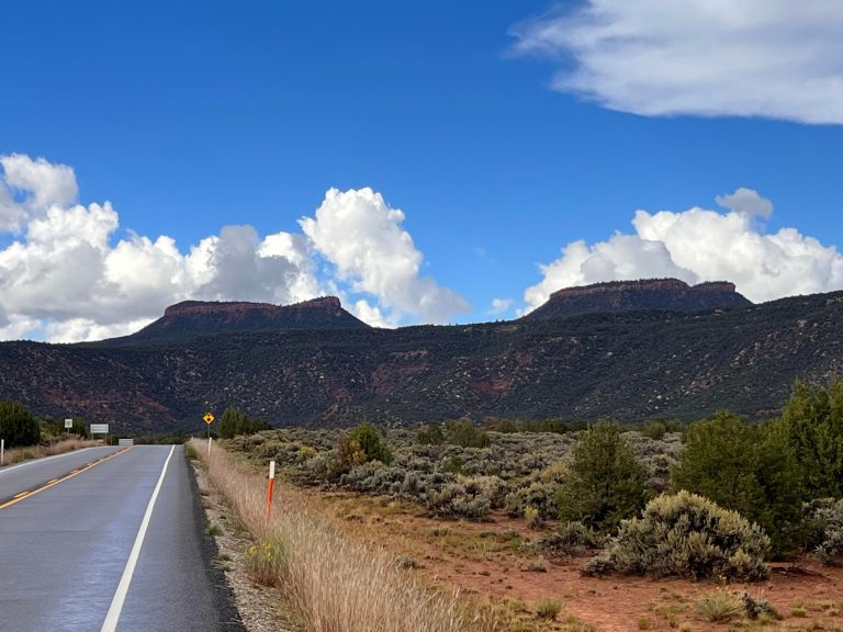 Bears Ears National Monument
Cliff dwellings, Grand Gulch backpacking and Indian Creek climbing in southeastern Utah’s canyon country.
-
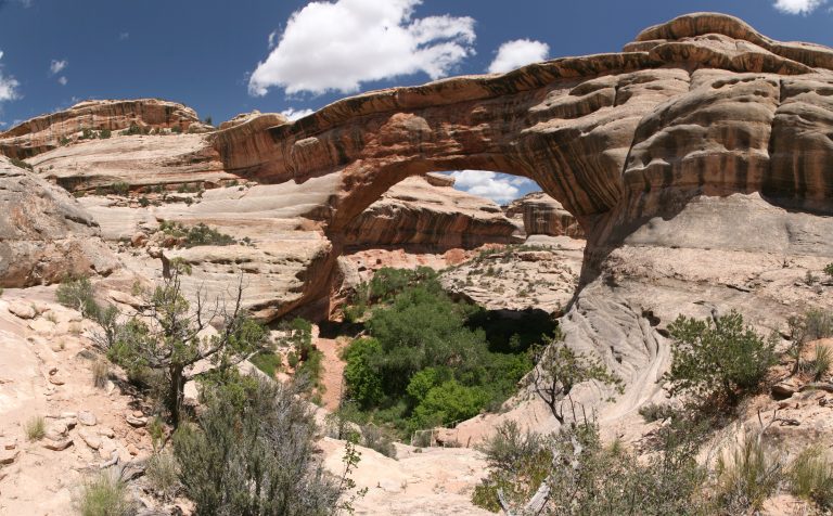 Natural Bridges National Monument
Three giant stone bridges in southeastern Utah’s canyons, with a loop drive, short steep trails and the first International Dark Sky Park.
Straight-line distance between park centres. Road distance is usually longer.
Looking for somewhere closer to home?
See every park and monument within a day’s drive of where you are.