

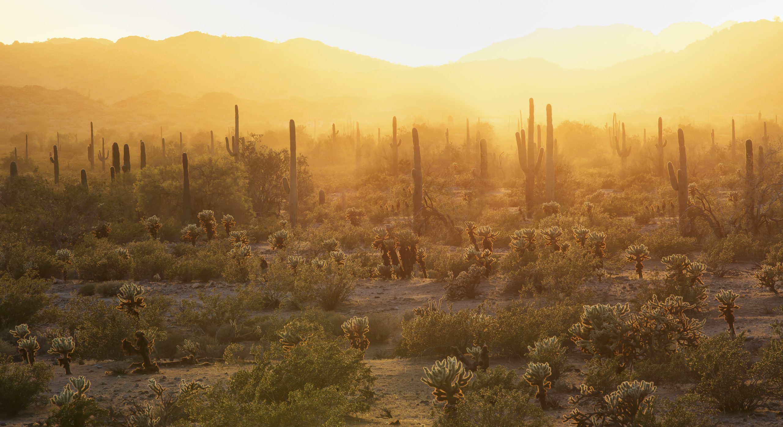
Sonoran Desert National Monument
Sonoran Desert National Monument protects saguaro forests and rugged desert ranges southwest of Phoenix, crossed by historic trails used by Spanish explorers, Mormon pioneers and the Butterfield stage. Four wilderness trails lead into its mountains, and there is no water, shade or development anywhere.
Fast facts
- Established: 2001
- Size: about 486,000 acres (1,970 km²)
- Ranges: the Maricopa, Sand Tank and Table Top mountains
- Wilderness trails: four trails totalling about 26 miles (42 km)
- Gateways: Maricopa, Gila Bend and Phoenix
- Managed by: the Bureau of Land Management
The landscape
Wide valleys of creosote and saguaro separate steep volcanic and granite ranges. The saguaro stands here are among the most extensive in the Sonoran Desert. The Juan Bautista de Anza National Historic Trail and the Butterfield Overland route cross the monument, and desert bighorn sheep and tortoises live in the mountains.
Best time to go
November to March. Summer is dangerous, often over 110°F (43°C). Wildflowers bloom in spring after wet winters.
Getting there and around
The monument lies about 60 miles (97 km) southwest of Phoenix, between Maricopa and Gila Bend, with Highway 238 and I-8 crossing it. Trailheads are reached by dirt roads, several needing high clearance.
Things to do
Drive the historic trails and dirt roads through saguaro forest, especially in spring wildflower season, and camp at primitive sites with wide night skies.
The Table Top Trail climbs about 3 miles (5 km) one way to the flat summit of Table Top Mountain, and the Lava Flow Trail, about 7 miles (11 km), crosses its base. In the North Maricopa Mountains Wilderness, the Margies Cove Trail runs about 9 miles (14.5 km) and the Brittlebush Trail about 6 miles (9.7 km). All are remote, with no water.
Staying safe
Heat is the deadliest hazard; do not hike in summer, and carry a gallon (4 L) of water per person per day at any time. There is no water or shade. The monument is near smuggling routes: stay on designated roads and trails, and report anything suspicious rather than approaching it.
Know before you go
There is no entrance fee. Motor vehicles must stay on designated routes. This page is a general overview, not a live conditions report, so confirm access and road conditions with the Bureau of Land Management before you go.
- Coordinates
- 32.9277, -112.3237
- Magnetic declination
- 9.6° E (2026)
Set this declination on your compass, then align it to the map's north lines; it is the angle between true north and magnetic north, refreshed each year.
How declination works, and how to navigate with a map and compass
A spread of the park’s main places shows straight away, and the rest appear as you zoom in. You can also search above, or pick any place from the lists below, and the map will go to it. Places in bold, marked , have a short description.
Getting there 3
Airstrips
On the trail 5
Trailheads
Campgrounds
Sights 32
Lakes
Heritage sites
Peaks 11
Map data comes from third-party sources and may be incomplete or out of date, so carry a current official map (terms).
Looking for one of these closer to home?Destinations near me by trip type →
- Best seasons
- Late fall, Winter, Early spring
- Difficulty
- Moderate to strenuous
- Access / trailheads
- About 60 miles (97 km) southwest of Phoenix via Highway 238 and I-8; trailheads by dirt road, some needing high clearance.
- Water
- None. Carry all you need.
- Cell / satellite coverage
- Patchy near highways; none in the wilderness.
- Nearest ranger / SAR / emergency
- Emergencies: 911. BLM Phoenix District: 602-867-5400.
- Permits & regulations
- No entrance fee. Vehicles on designated routes only.
- Leave No Trace
- Stay on designated routes, camp on previously used sites, and leave historic trail remains untouched.
January
- Day-to-night swing of 30°F (17°C)Day-to-night swing of 17°C (30°F)
February
- Day-to-night swing of 31°F (17°C)Day-to-night swing of 17°C (31°F)
March
- Day-to-night swing of 33°F (18°C)Day-to-night swing of 18°C (33°F)
April
- Hot days
- Day-to-night swing of 35°F (19°C)Day-to-night swing of 19°C (35°F)
May
- Hot days
- Day-to-night swing of 35°F (19°C)Day-to-night swing of 19°C (35°F)
June
- Extreme daytime heat
- Day-to-night swing of 35°F (19°C)Day-to-night swing of 19°C (35°F)
July
- Extreme daytime heat
August
- Extreme daytime heat
September
- Extreme daytime heat
- Day-to-night swing of 30°F (17°C)Day-to-night swing of 17°C (30°F)
October This month
- Hot days
- Day-to-night swing of 33°F (18°C)Day-to-night swing of 18°C (33°F)
November
- Day-to-night swing of 32°F (18°C)Day-to-night swing of 18°C (32°F)
December
- Day-to-night swing of 30°F (17°C)Day-to-night swing of 17°C (30°F)
What to bring depends on your trip: how long you’re out, where you sleep, and how far you go from the road. The planner builds the list for yours.
Plan a trip here →Averages for 1991–2020 from NOAA U.S. Climate Normals, measured at the Gila Bend station, 14 miles (23 km)23 km (14 miles) away at 794 feet (242 m)242 m (794 feet). Higher trails run colder, by about 3.5°F for every 1,000 ft (2°C per 300 m)2°C for every 300 m (3.5°F per 1,000 ft) of climb. Daylight runs from sunrise to sunset on the 15th, on the park’s own clock, for a level horizon. Valleys and slopes facing away from the sun are in shade earlier.
Nearby parks
-
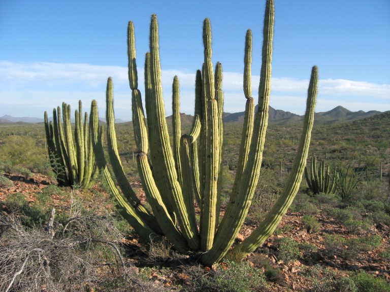 Organ Pipe Cactus National Monument
Organ pipe and saguaro cactus on Arizona’s border with Mexico, with easy desert trails and a vast wilderness.
-
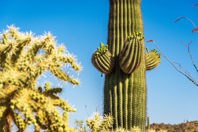 Saguaro National Park
Giant saguaro cactus forests on both sides of Tucson, rising into the pine-covered Rincon Mountains.
-
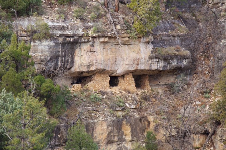 Walnut Canyon National Monument
Sinagua cliff dwellings on limestone ledges just east of Flagstaff, circled by a stepped loop of 1 mile (1.6 km).
-
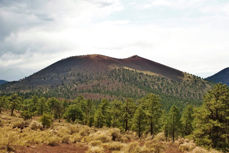 Sunset Crater Volcano National Monument
Arizona’s youngest volcano, a thousand-year-old cinder cone north of Flagstaff, with easy lava-flow trails and a loop drive to Wupatki.
Straight-line distance between park centres. Road distance is usually longer.
Looking for somewhere closer to home?
See every park and monument within a day’s drive of where you are.