

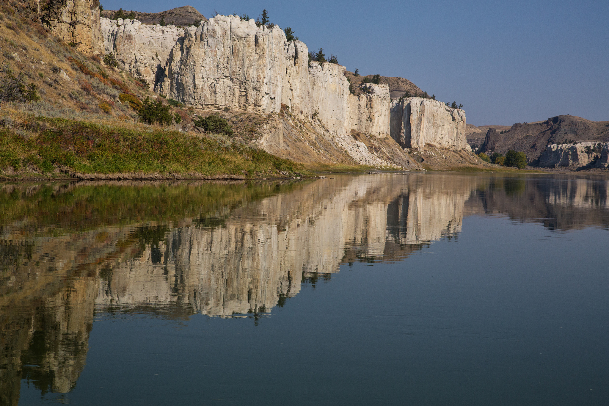
Upper Missouri River Breaks National Monument
Upper Missouri River Breaks follows 149 miles (240 km) of the Missouri River across central Montana, through white sandstone cliffs and badlands that Lewis and Clark described in 1805. The classic trip is a multi-day canoe float through the White Cliffs, camping on the riverbanks.
Fast facts
- Established: 2001
- Size: about 377,000 acres (1,530 km²)
- River: 149 miles (240 km) of the Upper Missouri Wild and Scenic River
- History: the route of Lewis and Clark in 1805, much as they saw it
- Gateways: Fort Benton, Big Sandy and Lewistown, Montana
- Managed by: the Bureau of Land Management
The landscape
Below Fort Benton the Missouri winds through a deep valley. In the White Cliffs section, pale sandstone has eroded into walls, pinnacles and arches, cut by dark volcanic dikes. Downstream, the land breaks into steep, eroded badlands. Bighorn sheep, elk, pronghorn and eagles live along the river.
Best time to go
Late spring to early fall for floating. June and July are warm, with mosquitoes; late summer brings lower water and fewer insects. Spring and fall can be cold and windy.
Getting there and around
The Missouri Breaks Interpretive Center is in Fort Benton. The main launch points are Fort Benton, Coal Banks Landing, Judith Landing and James Kipp Recreation Area, reached by paved and gravel roads. Outfitters in Fort Benton rent canoes and run shuttles.
Things to do
Start at the interpretive center in Fort Benton. Day visitors can paddle a short stretch from Coal Banks Landing or drive to viewpoints above the breaks.
The most popular float runs 44 miles (71 km) from Coal Banks Landing to Judith Landing through the White Cliffs, usually in three or four days, camping at primitive riverside sites near landmarks such as Hole in the Wall. Longer trips run the full 149 miles (240 km) from Fort Benton to the James Kipp Recreation Area.
Staying safe
Strong upstream winds can stop canoes and whip up waves; plan extra time. The water is cold, so wear a life jacket. Clay roads become impassable when wet. Watch for rattlesnakes, and carry drinking water or a filter for the silty river.
Know before you go
River users register and pay a fee for each day on the river. Campgrounds at the main landings charge a fee; river campsites are primitive and first come, first served. This page is a general overview, not a live conditions report, so confirm river levels and road conditions with the Bureau of Land Management before you go.
- Coordinates
- 47.7759, -109.6697
- Magnetic declination
- 10.8° E (2026)
Set this declination on your compass, then align it to the map's north lines; it is the angle between true north and magnetic north, refreshed each year.
How declination works, and how to navigate with a map and compass
A spread of the park’s main places shows straight away, and the rest appear as you zoom in. You can also search above, or pick any place from the lists below, and the map will go to it. Places in bold, marked , have a short description.
Getting there 7
Airstrips
On the trail 15
Trailhead
Campgrounds
Picnic site
Sights 30
Viewpoints
Point of interest
Islands
Peaks 12
Map data comes from third-party sources and may be incomplete or out of date, so carry a current official map (terms).
Looking for one of these closer to home?Destinations near me by trip type →
- Best seasons
- Late spring, Summer, Early fall
- Difficulty
- Moderate to strenuous
- Access / trailheads
- Launch points at Fort Benton, Coal Banks Landing, Judith Landing and James Kipp Recreation Area.
- Water
- Silty river water only; filter and treat it, or carry drinking water.
- Cell / satellite coverage
- None on most of the river.
- Nearest ranger / SAR / emergency
- Emergencies: 911. BLM Lewistown Field Office: 406-538-1900.
- Permits & regulations
- River registration and daily fee; fees at landing campgrounds.
- Leave No Trace
- Camp at established river sites, carry out human waste and all trash, and leave historic sites untouched.
January
- Below-freezing nights
February
- Below-freezing nights
March
- Below-freezing nights
April
- Below-freezing nights
May
June
July
- Day-to-night swing of 31°F (17°C)Day-to-night swing of 17°C (31°F)
August
- Day-to-night swing of 33°F (18°C)Day-to-night swing of 18°C (33°F)
September
- Day-to-night swing of 30°F (17°C)Day-to-night swing of 17°C (30°F)
October This month
November
- Below-freezing nights
December
- Below-freezing nights
What to bring depends on your trip: how long you’re out, where you sleep, and how far you go from the road. The planner builds the list for yours.
Plan a trip here →Averages for 1991–2020 from NOAA U.S. Climate Normals, measured at the Geraldine station, 20 miles (31 km)31 km (20 miles) away at 3,145 feet (959 m)959 m (3,145 feet). Higher trails run colder, by about 3.5°F for every 1,000 ft (2°C per 300 m)2°C for every 300 m (3.5°F per 1,000 ft) of climb. Daylight runs from sunrise to sunset on the 15th, on the park’s own clock, for a level horizon. Valleys and slopes facing away from the sun are in shade earlier.
Nearby parks
-
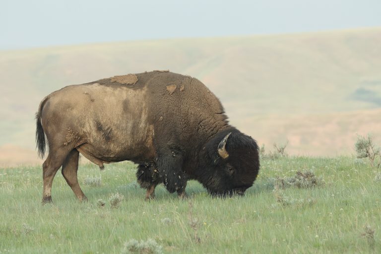 Grasslands National Park
Rare untouched prairie in southern Saskatchewan, with plains bison, prairie dogs and some of Canada's darkest skies.
-
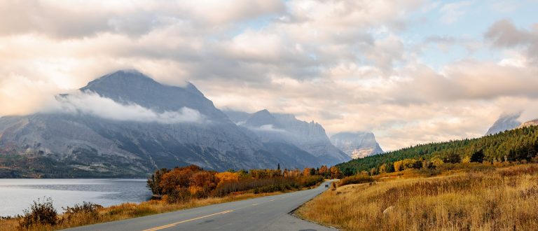 Glacier National Park (US)
The Crown of the Continent in Montana: jagged peaks, turquoise lakes, Going-to-the-Sun Road and hundreds of miles of trail.
-
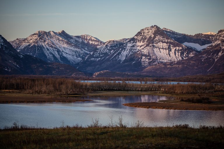 Waterton Lakes National Park
Where the prairie meets the Rockies in southwest Alberta, with Upper Waterton Lake, the Crypt Lake Trail and a walkable village.
-
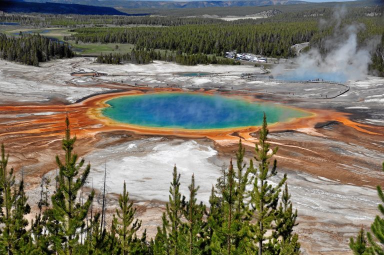 Yellowstone National Park
The world's first national park, with Old Faithful, the Grand Canyon of the Yellowstone, and bison and wolves in the Lamar Valley.
Straight-line distance between park centres. Road distance is usually longer.
Looking for somewhere closer to home?
See every park and monument within a day’s drive of where you are.