

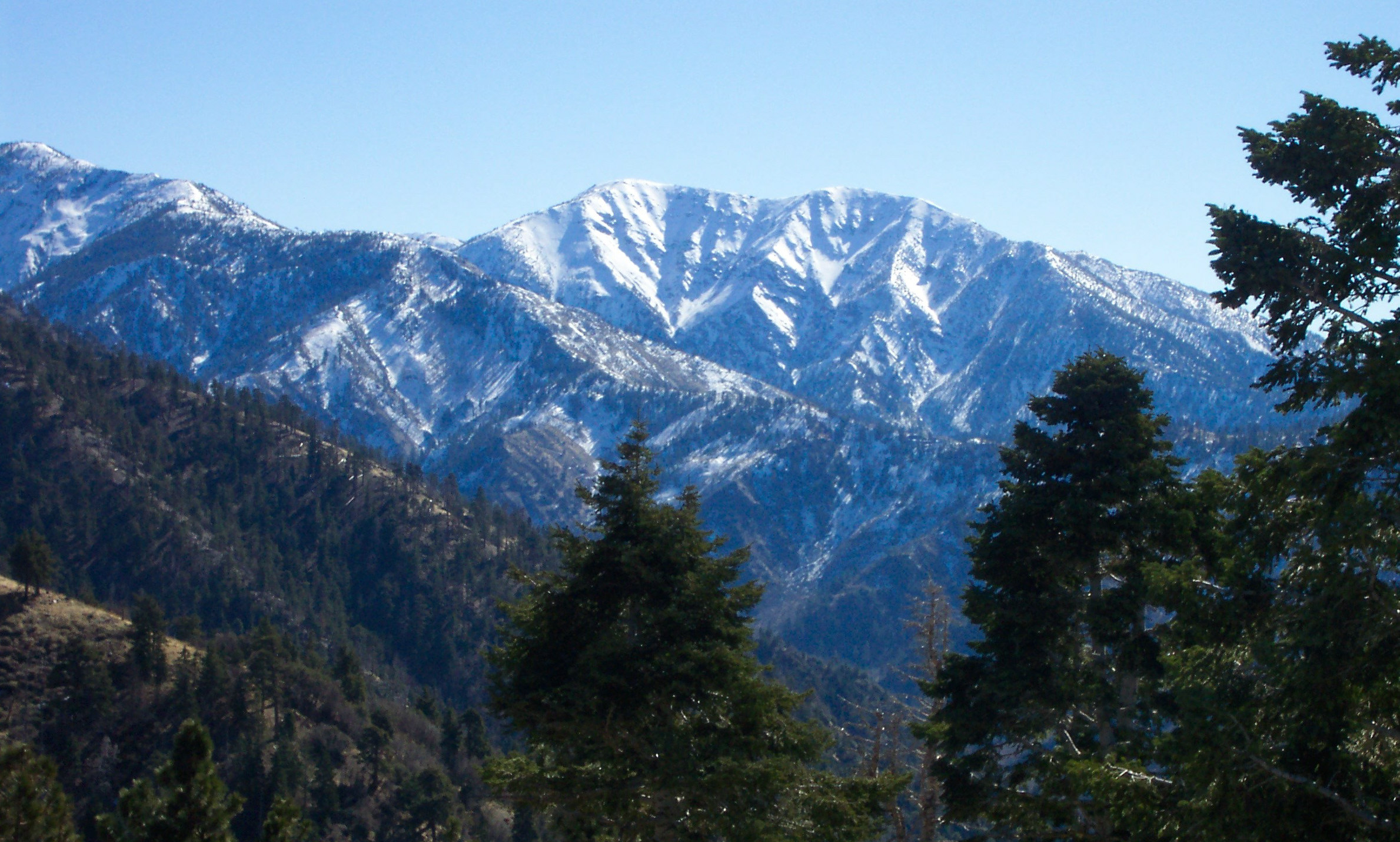
San Gabriel Mountains National Monument
The San Gabriel Mountains rise directly behind Los Angeles, and this monument covers much of their high country and canyons, including Mount Baldy, the highest point in Los Angeles County. Families picnic along the rivers, and hikers climb to summits over 10,000 feet (3,050 m) or walk to the Bridge to Nowhere.
Fast facts
- Established: 2014; expanded in 2024
- Size: about 452,000 acres (1,830 km²)
- Highest point: Mount San Antonio (Mount Baldy), 10,064 feet (3,068 m)
- Signature hike: the Bridge to Nowhere on the East Fork of the San Gabriel River
- Gateways: Azusa, Glendora, Pasadena and the Los Angeles foothill towns
- Managed by: the Forest Service (Angeles and San Bernardino national forests)
The landscape
Steep, young mountains of granite and schist rise from chaparral in the foothills to pine and fir forest on the high ridges. The San Gabriel River and its forks cut deep canyons, and the Sheep Mountain Wilderness shelters bighorn sheep. Snow covers the highest peaks in winter.
Best time to go
Spring and fall are best at lower elevations; summer is very hot in the canyons. The high peaks are snow-free from about June to October and a snow climb in winter.
Getting there and around
Highway 39 runs north from Azusa into San Gabriel Canyon. East Fork Road leads to the Bridge to Nowhere trailhead. Mount Baldy Road climbs from Claremont and Upland to Manker Flat and the Mount Baldy ski area. Roads are busy on weekends.
Things to do
The canyons along Highway 39 and the East Fork offer picnic areas and river access close to the city, and short trails reach waterfalls and viewpoints.
The hike to the Bridge to Nowhere is about 10 miles (16 km) round trip up the East Fork, with many river crossings, into the Sheep Mountain Wilderness. Mount Baldy is climbed by several steep trails of about 10 miles (16 km) round trip with more than 3,900 feet (1,190 m) of climbing, a serious hike that has taken many lives in winter conditions.
Staying safe
Mount Baldy and the high ridges are dangerous in snow and ice, and many hikers have died on them; winter climbs need crampons, an ice axe and experience. Summer heat in the canyons is severe, and rivers rise quickly after storms. Fire season brings closures.
Know before you go
A Forest Service recreation pass (Adventure Pass or America the Beautiful) is needed to park at many sites. The Bridge to Nowhere and other wilderness areas need a free wilderness permit. This page is a general overview, not a live conditions report, so confirm road, trail and fire closures with the Forest Service before you go.
- Coordinates
- 34.3212, -118.0402
- Magnetic declination
- 11.4° E (2026)
Set this declination on your compass, then align it to the map's north lines; it is the angle between true north and magnetic north, refreshed each year.
How declination works, and how to navigate with a map and compass
A spread of the park’s main places shows straight away, and the rest appear as you zoom in. You can also search above, or pick any place from the lists below, and the map will go to it. Places in bold, marked , have a short description.
Getting there 3
Visitor centre
Ranger stations
On the trail 77
Trailheads
Campgrounds
Huts and shelters
Picnic sites
Sights 97
Viewpoints
Waterfalls
Lakes
Heritage sites
Point of interest
Peaks 31
Map data comes from third-party sources and may be incomplete or out of date, so carry a current official map (terms).
Looking for one of these closer to home?Destinations near me by trip type →
- Best seasons
- Spring, Fall (canyons); Summer (high peaks)
- Difficulty
- Easy to strenuous
- Access / trailheads
- Highway 39 from Azusa, East Fork Road, and Mount Baldy Road from Claremont.
- Water
- Streams in the canyons (treat all water); scarce on high ridges.
- Cell / satellite coverage
- Good near the foothills; patchy in canyons and on high ridges.
- Nearest ranger / SAR / emergency
- Emergencies: 911. Angeles National Forest: 626-574-1613.
- Permits & regulations
- Forest Service recreation pass at many sites. Free wilderness permit for the Bridge to Nowhere and other wilderness areas.
- Leave No Trace
- Pack out all trash (the canyons suffer from litter), keep out of closed areas, and never build fires outside designated rings.
January
February
March
April
May
June
July
August
September
October This month
November
December
What to bring depends on your trip: how long you’re out, where you sleep, and how far you go from the road. The planner builds the list for yours.
Plan a trip here →Averages for 1991–2020 from NOAA U.S. Climate Normals, measured at the Mount Wilson Cbs station, 9 miles (14 km)14 km (9 miles) away at 5,710 feet (1,740 m)1,740 m (5,710 feet). Higher trails run colder, by about 3.5°F for every 1,000 ft (2°C per 300 m)2°C for every 300 m (3.5°F per 1,000 ft) of climb. Daylight runs from sunrise to sunset on the 15th, on the park’s own clock, for a level horizon. Valleys and slopes facing away from the sun are in shade earlier.
Nearby parks
-
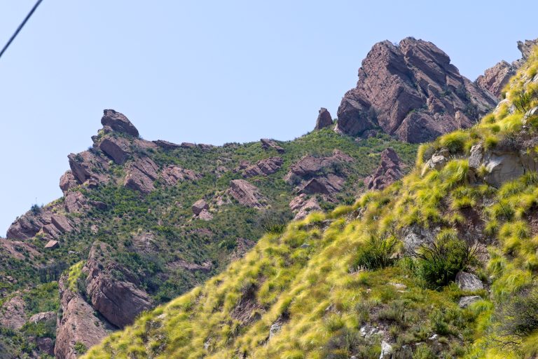 Malibu Creek State Park
Volcanic crags, oak meadows and a creek gorge in the Santa Monica Mountains, with the M*A*S*H film site, 25 miles (40 km) from downtown Los Angeles.
-
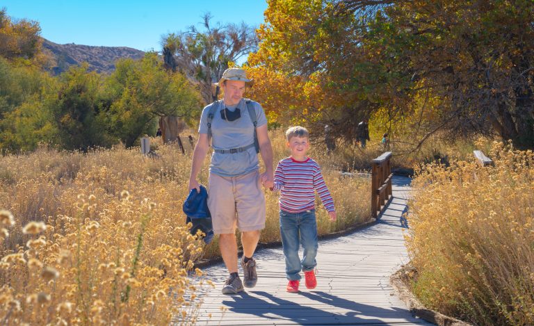 Sand to Snow National Monument
Desert birding walks and Southern California’s highest summit, San Gorgonio, in one monument between Palm Springs and Joshua Tree.
-
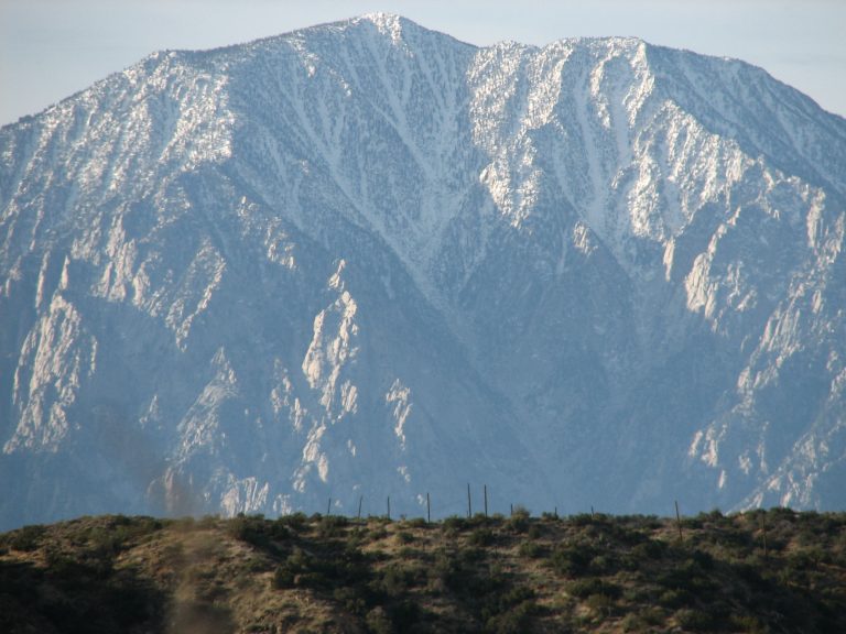 Mount San Jacinto State Park
The top of California's state parks, 10,834 feet (3,302 m) above Palm Springs, reached by tram or by trail from Idyllwild.
-
 Channel Islands National Park
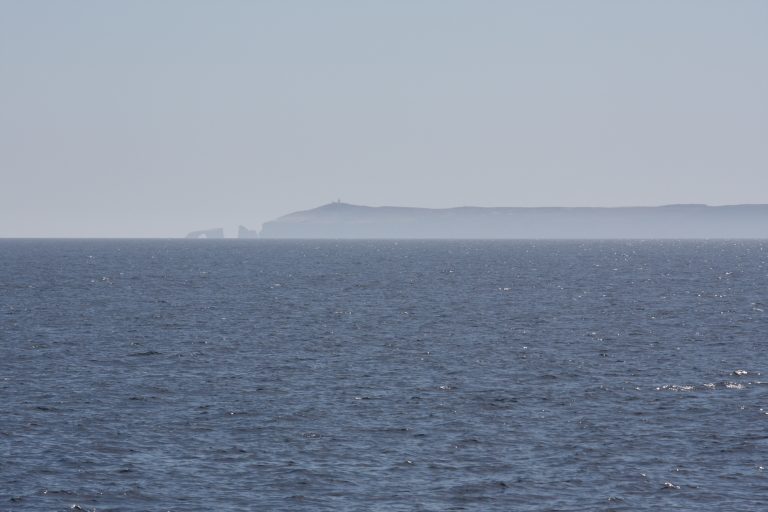
Five wild islands off Southern California, reached only by boat or plane, with sea caves, kayaking and plants found nowhere else.
Straight-line distance between park centres. Road distance is usually longer.
Looking for somewhere closer to home?
See every park and monument within a day’s drive of where you are.