

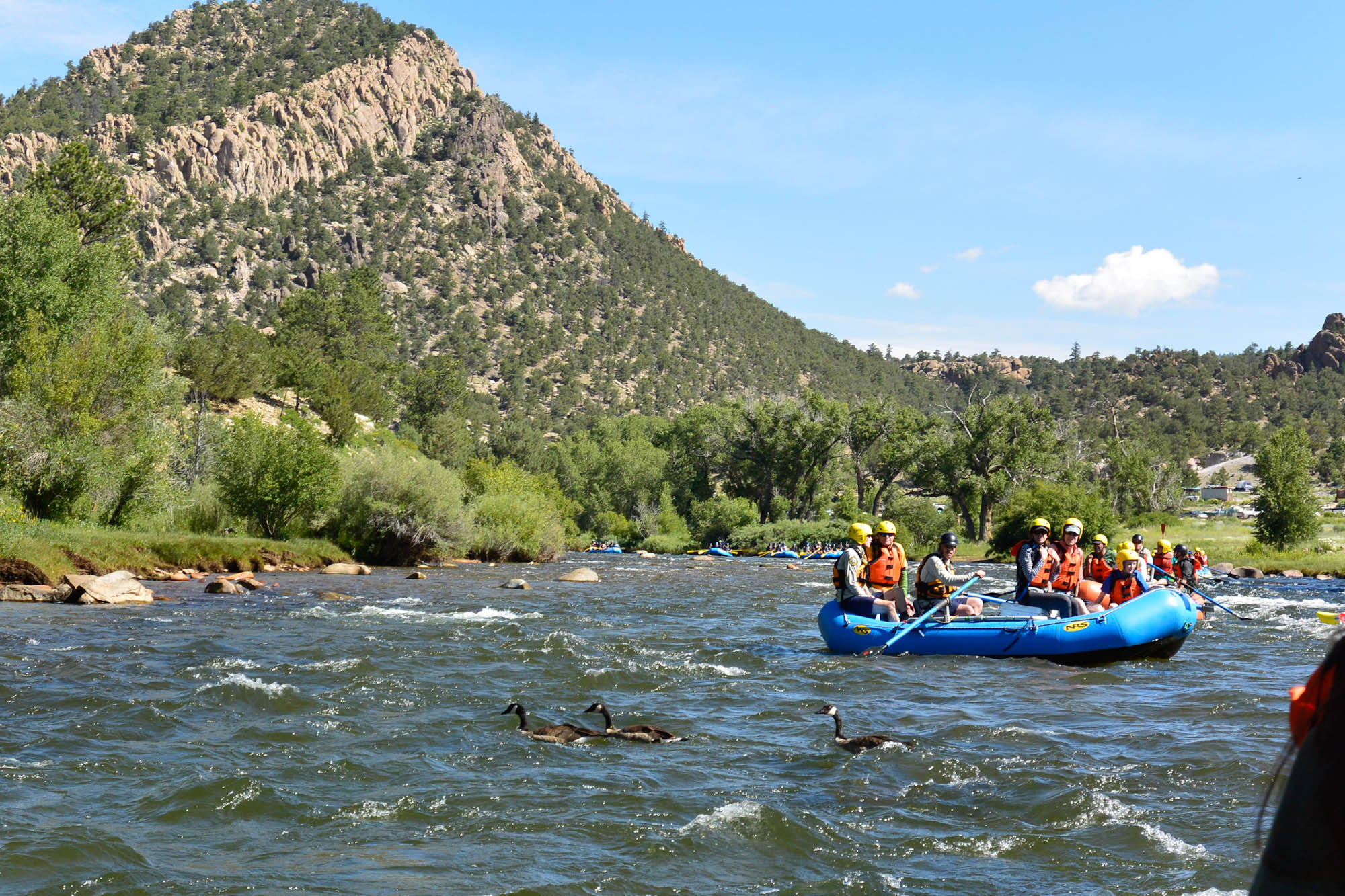
Browns Canyon National Monument
Browns Canyon protects a granite canyon of the Arkansas River between Buena Vista and Salida, Colorado, one of the most popular stretches of whitewater in the United States. Rafting trips run its rapids from late spring to summer, and trails drop from Ruby Mountain to the river’s edge.
Fast facts
- Established: 2015
- Size: about 21,600 acres (87 km²)
- River: the Arkansas River, with Class II and III rapids
- Mountains: views of the Collegiate Peaks, several over 14,000 feet (4,270 m)
- Gateways: Buena Vista and Salida, Colorado
- Managed by: the Bureau of Land Management and the Forest Service
The landscape
The Arkansas River cuts through pink and grey granite in a canyon lined with pinyon and juniper, with ponderosa pine higher up. Bighorn sheep, elk and raptors live here. From the ridges, the Collegiate Peaks rise to the west across the valley.
Best time to go
Rafting season runs from about May to August, with the highest water in early summer. Spring and fall are good for hiking. Summer afternoons bring thunderstorms.
Getting there and around
The Ruby Mountain trailhead and campground are off US 285 about 10 miles (16 km) south of Buena Vista, via County Road 300. Rafting outfitters in Buena Vista, Salida and along US 285 run trips daily in season.
Things to do
Most visitors see the canyon on a guided half-day or full-day raft trip; half days cover about 10 miles (16 km) and full days about 18 miles (29 km) of the river.
From Ruby Mountain, the Turret Trail reaches the river at Little Cottonwood Creek in about 2.7 miles (4.3 km) round trip, and the Catkin Gulch loop, about 11.5 miles (18.5 km), makes a full day in the backcountry. Experienced paddlers run the canyon on their own.
Staying safe
The river is cold and fast, especially in early summer; wear a life jacket and go with an outfitter unless you have whitewater skills. Trails to the river are steep on the way back up. Afternoon lightning is common, and the sun is strong at altitude.
Know before you go
The river corridor is managed with Colorado’s Arkansas Headwaters Recreation Area, and river users need a state park pass. There is no fee for hiking. This page is a general overview, not a live conditions report, so confirm river levels with the Bureau of Land Management or Arkansas Headwaters Recreation Area before you go.
- Coordinates
- 38.7006, -106.0176
- Magnetic declination
- 7.9° E (2026)
Set this declination on your compass, then align it to the map's north lines; it is the angle between true north and magnetic north, refreshed each year.
How declination works, and how to navigate with a map and compass
A spread of the park’s main places shows straight away, and the rest appear as you zoom in. You can also search above, or pick any place from the lists below, and the map will go to it. Places in bold, marked , have a short description.
Getting there 1
Park entrance
On the trail 3
Trailhead
Campgrounds
Sights 4
Viewpoint
Peaks
Map data comes from third-party sources and may be incomplete or out of date, so carry a current official map (terms).
Looking for one of these closer to home?Destinations near me by trip type →
- Best seasons
- Late spring, Summer (rafting), Fall (hiking)
- Difficulty
- Easy to strenuous
- Access / trailheads
- Ruby Mountain trailhead off US 285 about 10 miles (16 km) south of Buena Vista via County Road 300.
- Water
- River water only; treat it.
- Cell / satellite coverage
- Patchy.
- Nearest ranger / SAR / emergency
- Emergencies: 911. BLM Royal Gorge Field Office: 719-269-8500.
- Permits & regulations
- No hiking fee. River users need an Arkansas Headwaters Recreation Area (Colorado state park) pass.
- Leave No Trace
- Camp at designated sites, pack out all waste (river trips too), and give bighorn sheep room.
January
- Below-freezing nights
- Day-to-night swing of 30°F (17°C)Day-to-night swing of 17°C (30°F)
February
- Below-freezing nights
March
- Below-freezing nights
April
- Below-freezing nights
- Day-to-night swing of 30°F (17°C)Day-to-night swing of 17°C (30°F)
May
- Day-to-night swing of 31°F (17°C)Day-to-night swing of 17°C (31°F)
June
- Day-to-night swing of 35°F (19°C)Day-to-night swing of 19°C (35°F)
July
- Day-to-night swing of 34°F (19°C)Day-to-night swing of 19°C (34°F)
August
- Day-to-night swing of 33°F (18°C)Day-to-night swing of 18°C (33°F)
September
- Day-to-night swing of 34°F (19°C)Day-to-night swing of 19°C (34°F)
October This month
- Below-freezing nights
- Day-to-night swing of 33°F (18°C)Day-to-night swing of 18°C (33°F)
November
- Below-freezing nights
- Day-to-night swing of 30°F (17°C)Day-to-night swing of 17°C (30°F)
December
- Below-freezing nights
What to bring depends on your trip: how long you’re out, where you sleep, and how far you go from the road. The planner builds the list for yours.
Plan a trip here →Averages for 1991–2020 from NOAA U.S. Climate Normals, measured at the Buena Vista station, 6 miles (10 km)10 km (6 miles) away at 7,954 feet (2,424 m)2,424 m (7,954 feet). Higher trails run colder, by about 3.5°F for every 1,000 ft (2°C per 300 m)2°C for every 300 m (3.5°F per 1,000 ft) of climb. Daylight runs from sunrise to sunset on the 15th, on the park’s own clock, for a level horizon. Valleys and slopes facing away from the sun are in shade earlier.
Nearby parks
-
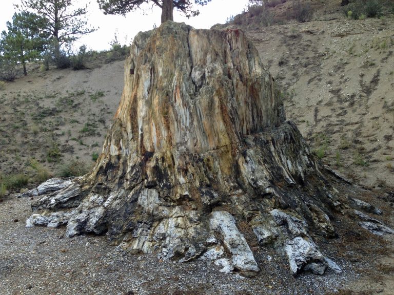 Florissant Fossil Beds National Monument
Petrified redwood stumps and fossil insects in a mountain valley west of Colorado Springs, with easy trails and meadow loops.
-
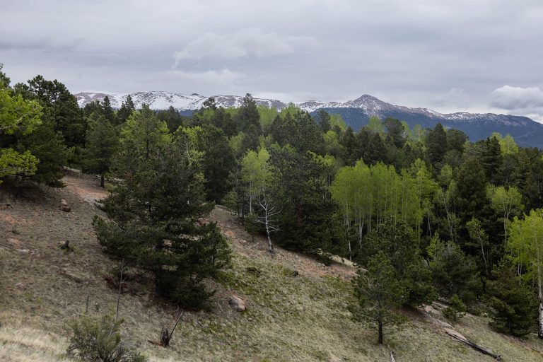 Mueller State Park
Aspen groves, spring-fed meadows and granite outcrops on the west side of Pikes Peak, with 44 miles (71 km) of trails and elk bugling in the fall.
-
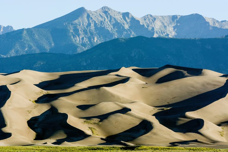 Great Sand Dunes National Park
The tallest dunes in North America, about 750 feet (230 m) high, below the Sangre de Cristo Mountains in Colorado's San Luis Valley.
-
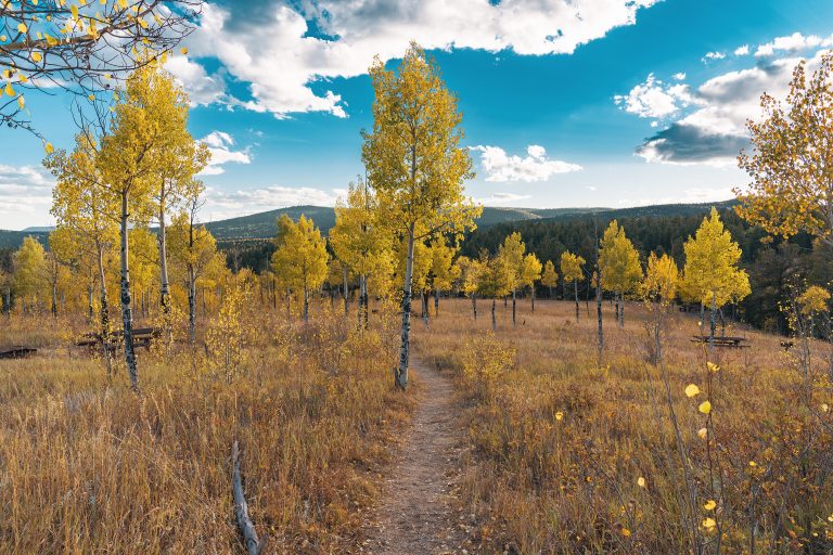 Golden Gate Canyon State Park
Mountain meadows, aspens and backcountry shelters within an hour of Denver, looking out on the Continental Divide.
Straight-line distance between park centres. Road distance is usually longer.
Looking for somewhere closer to home?
See every park and monument within a day’s drive of where you are.