

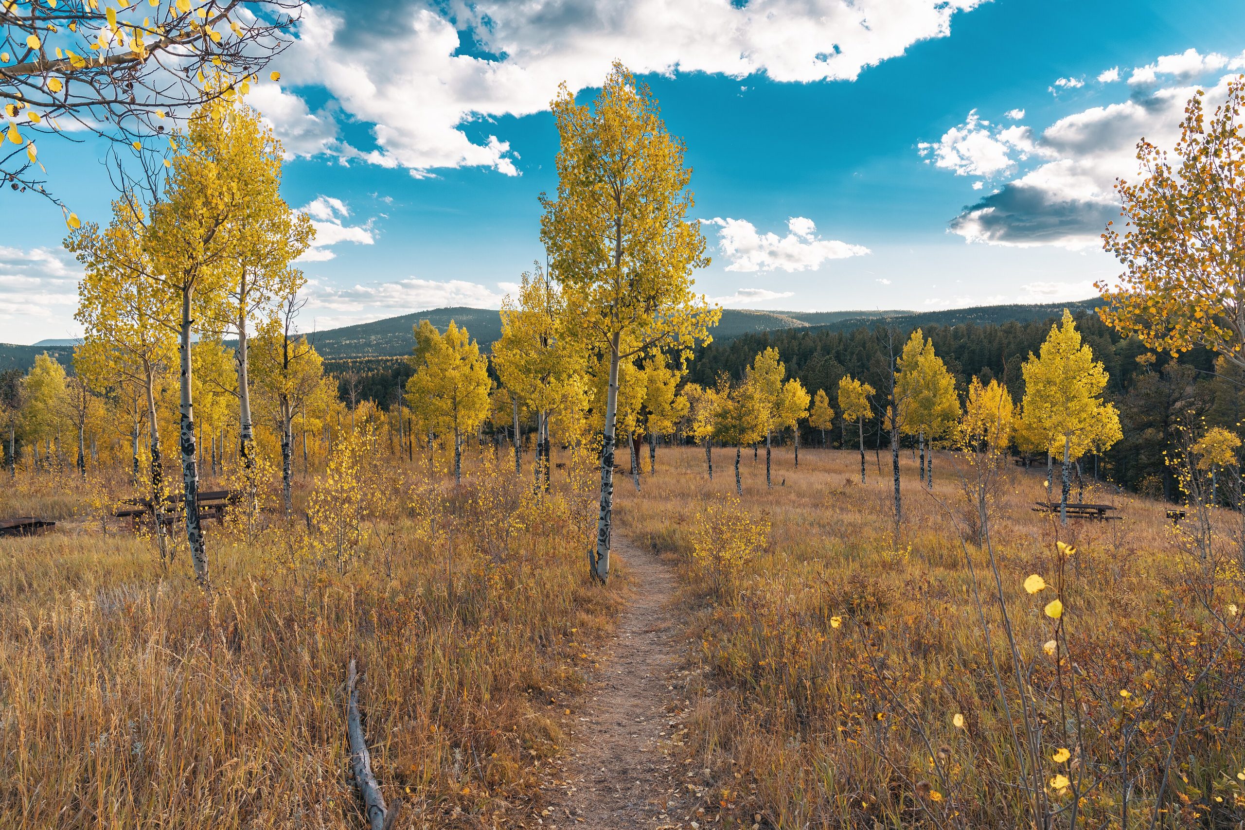
Golden Gate Canyon State Park
Fast facts
- Size: about 12,000 acres (49 km²)
- Trails: more than 35 miles (56 km)
- Overnight: a developed campground plus rustic backcountry sites and shelters
- Viewpoint: Panorama Point, looking across about 100 miles (160 km) of the Continental Divide
- Gateway: Golden, within an hour of Denver
- Managed by: Colorado Parks and Wildlife
The landscape
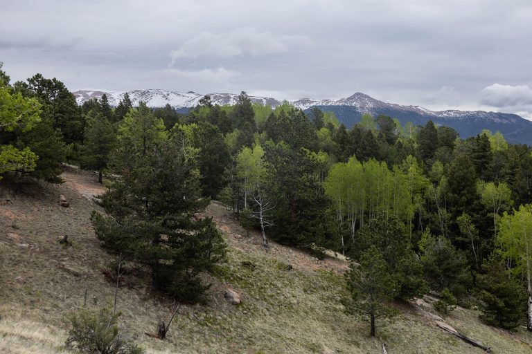
Golden Gate Canyon spreads across the foothills west of Denver: high meadows, aspen groves, rocky peaks and streams in narrow valleys. Elevations run from about 7,400 to more than 10,000 feet (2,260 to 3,050 m). Elk, mule deer, black bears and mountain lions live here, and the aspens turn gold in late September.
Best time to go
Summer brings wildflowers and afternoon thunderstorms. Late September is aspen season, and the park fills early on weekends. Winter brings snowshoeing, cross-country skiing and ice fishing.
Getting there and around
From Golden, Golden Gate Canyon Road winds up into the park. Roads lead to the visitor center, Reverend’s Ridge campground, Panorama Point and trailheads. Backcountry sites and shelters are reached on foot.
Things to do
Trails such as Raccoon, Mule Deer and Black Bear lead through meadows and forest to viewpoints and rock outcrops. Backpackers stay at the backcountry sites and three-sided shelters, a rare option this close to a city. Anglers fish the ponds, and winter brings snowshoe routes.
Staying safe
Thunderstorms build on most summer afternoons; get off ridges and summits early. The altitude affects visitors coming from lower elevations, so drink water and pace yourself. Store food properly in bear country. Leave a trip plan for backcountry trips.
Know before you go
A parks pass is required, and the park fills early on fall weekends. This page is a general overview, not a live conditions report, so confirm conditions and reservations with Colorado Parks and Wildlife before you go.
- Coordinates
- 39.8509, -105.3971
- Magnetic declination
- 7.7° E (2026)
Set this declination on your compass, then align it to the map's north lines; it is the angle between true north and magnetic north, refreshed each year.
How declination works, and how to navigate with a map and compass
A spread of the park’s main places shows straight away, and the rest appear as you zoom in. You can also search above, or pick any place from the lists below, and the map will go to it. Places in bold, marked , have a short description.
Getting there 1
Visitor centre
On the trail 16
Campgrounds
Huts and shelters
Picnic sites
Sights 12
Viewpoint
Lakes
Heritage sites
Peaks
Map data comes from third-party sources and may be incomplete or out of date, so carry a current official map (terms).
Looking for one of these closer to home?Destinations near me by trip type →
- Best seasons
- Summer, Fall (aspens), Winter (snowshoeing)
- Difficulty
- Easy to moderate
- Access / trailheads
- From Golden, take Highway 93 north 1.5 miles (2.4 km) to Golden Gate Canyon Road, then continue about 13 miles (21 km) to the park, within an hour of Denver.
- Water
- Streams; treat all water. Water at the developed campground.
- Cell / satellite coverage
- Patchy in the valleys.
- Nearest ranger / SAR / emergency
- Emergencies: 911. Park office: 303-582-3707.
- Permits & regulations
- A Colorado State Parks pass is required. Campsites, backcountry sites and shelters are reserved through Colorado Parks and Wildlife. On fall weekends the park often reaches capacity by 9 a.m.; park only in designated spots.
- Leave No Trace
- Camp only in reserved backcountry sites, store food from bears, stay on trails and pack out all waste.
January
- Below-freezing nights
February
- Below-freezing nights
March
- Below-freezing nights
April
- Below-freezing nights
May
June
July
August
September
October This month
- Below-freezing nights
November
- Below-freezing nights
December
- Below-freezing nights
What to bring depends on your trip: how long you’re out, where you sleep, and how far you go from the road. The planner builds the list for yours.
Plan a trip here →Averages for 1991–2020 from NOAA U.S. Climate Normals, measured at the Coal Creek Canyon station, 3 miles (5 km)5 km (3 miles) away at 8,950 feet (2,728 m)2,728 m (8,950 feet). Higher trails run colder, by about 3.5°F for every 1,000 ft (2°C per 300 m)2°C for every 300 m (3.5°F per 1,000 ft) of climb. Daylight runs from sunrise to sunset on the 15th, on the park’s own clock, for a level horizon. Valleys and slopes facing away from the sun are in shade earlier.
Nearby parks
-
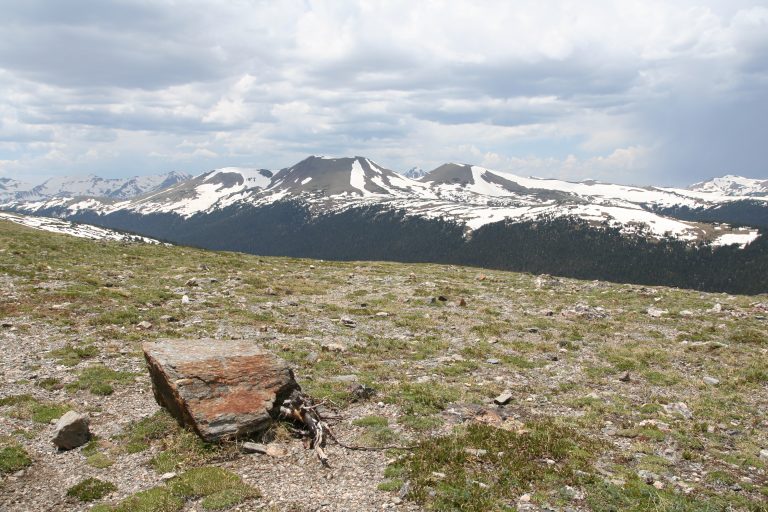 Rocky Mountain National Park
High Colorado peaks, alpine tundra and Trail Ridge Road, the highest continuous paved road in the U.S., with elk.
-
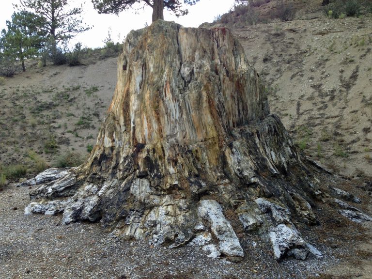 Florissant Fossil Beds National Monument
Petrified redwood stumps and fossil insects in a mountain valley west of Colorado Springs, with easy trails and meadow loops.
-
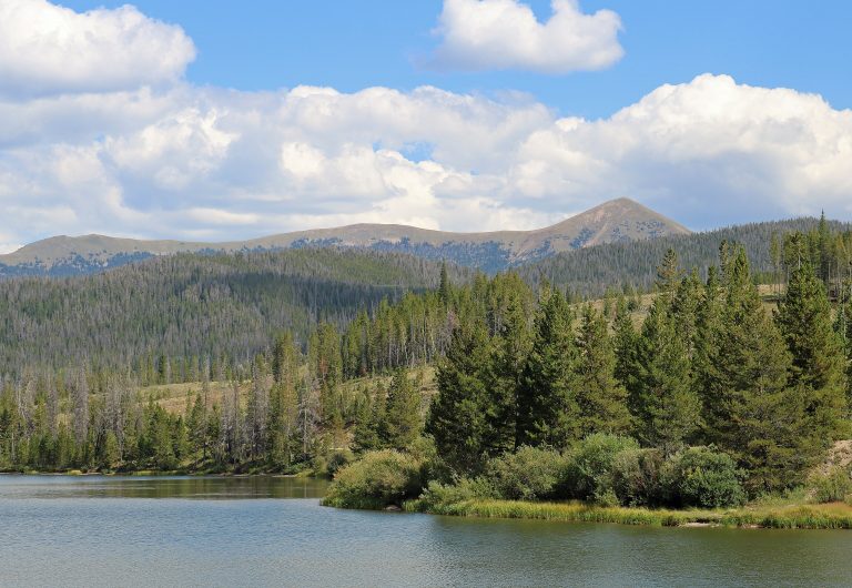 State Forest State Park
Colorado's moose capital: 71,000 acres (290 km²) of forest, peaks and alpine lakes below Cameron Pass, with yurts.
-
 Mueller State Park
Aspen groves, spring-fed meadows and granite outcrops on the west side of Pikes Peak, with 44 miles (71 km) of trails and elk bugling in the fall.
Straight-line distance between park centres. Road distance is usually longer.
Looking for somewhere closer to home?
See every park and monument within a day’s drive of where you are.