

Cascade-Siskiyou National Monument
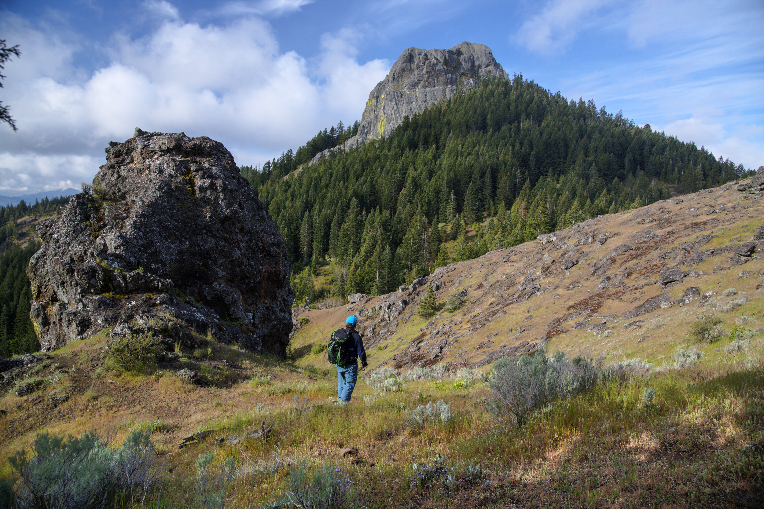
Cascade-Siskiyou protects the meeting place of three mountain ranges above Ashland, Oregon, where the Cascades, Siskiyous and Klamath Mountains come together into one of the most biologically diverse landscapes in the West. The Pacific Crest Trail crosses it, with easy walks to viewpoints and a longer trail to the volcanic plug of Pilot Rock.
Fast facts
- Established: 2000; expanded in 2017
- Size: about 114,000 acres (461 km²)
- Long trail: the Pacific Crest Trail runs through the monument
- Wilderness: the Soda Mountain Wilderness
- Gateway: Ashland, Oregon
- Managed by: the Bureau of Land Management
The landscape
Forests of oak, pine and fir mix with grasslands, meadows and rocky ridges, and plants and animals from three ranges overlap here. Pilot Rock, a basalt column rising to about 5,900 feet (1,800 m), guided travellers over the Siskiyou Pass. Hobart Bluff and Soda Mountain look over the Rogue Valley to Mount McLoughlin and Mount Shasta.
Best time to go
Late spring for wildflowers, and summer and fall for the high trails. Winter brings snow to the higher ground, and Highway 66 over Green Springs Summit can be icy.
Getting there and around
From I-5 exit 14 at Ashland, take Highway 66 east about 17 miles (27 km) to Green Springs Summit, where the Pacific Crest Trail crosses. Pilot Rock is reached from the south via Pilot Rock Road off Old Highway 99 near the Siskiyou Pass.
Things to do
The walk to Hobart Bluff, about 2.5 miles (4 km) round trip on and off the Pacific Crest Trail, reaches a rocky viewpoint over the Rogue Valley. The Soda Mountain trail, about 4 miles (6.4 km) round trip, climbs to a fire lookout.
Longer hikes follow the Pacific Crest Trail through the monument, including about 8.8 miles (14 km) round trip to Pilot Rock, where a steep scramble reaches the top. Thru-hikers on the PCT pass through each summer.
Staying safe
Summer heat and fire season can be severe; check for fire closures before you go. Pilot Rock’s final scramble is steep and loose. Watch for ticks and rattlesnakes in warm months, and for snow and ice in winter.
Know before you go
There is no entrance fee. Some areas are closed seasonally to protect wildlife or during fire danger. This page is a general overview, not a live conditions report, so confirm conditions with the Bureau of Land Management before you go.
- Coordinates
- 42.1026, -122.4735
- Magnetic declination
- 13.7° E (2026)
Set this declination on your compass, then align it to the map's north lines; it is the angle between true north and magnetic north, refreshed each year.
How declination works, and how to navigate with a map and compass
A spread of the park’s main places shows straight away, and the rest appear as you zoom in. You can also search above, or pick any place from the lists below, and the map will go to it. Places in bold, marked , have a short description.
Getting there 1
Airstrip
On the trail 5
Trailheads
Campgrounds
Sights 16
Viewpoint
Lakes
Peaks 11
Map data comes from third-party sources and may be incomplete or out of date, so carry a current official map (terms).
Looking for one of these closer to home?Destinations near me by trip type →
- Best seasons
- Late spring, Summer, Fall
- Difficulty
- Easy to strenuous
- Access / trailheads
- Highway 66 east from I-5 exit 14 at Ashland to Green Springs Summit; Pilot Rock via Pilot Rock Road near the Siskiyou Pass.
- Water
- Scarce on ridge trails; carry what you need.
- Cell / satellite coverage
- Fair on the ridges facing Ashland; patchy elsewhere.
- Nearest ranger / SAR / emergency
- Emergencies: 911. BLM Medford District: 541-618-2200.
- Permits & regulations
- No entrance fee. Seasonal and fire closures possible.
- Leave No Trace
- Stay on trails in meadows, camp on durable ground, and follow any fire restrictions.
January
- Below-freezing nights
February
- Below-freezing nights
March
- Below-freezing nights
April
- Below-freezing nights
May
June
July
- Day-to-night swing of 32°F (18°C)Day-to-night swing of 18°C (32°F)
August
- Day-to-night swing of 33°F (18°C)Day-to-night swing of 18°C (33°F)
September
- Day-to-night swing of 32°F (18°C)Day-to-night swing of 18°C (32°F)
October This month
November
- Below-freezing nights
December
- Below-freezing nights
What to bring depends on your trip: how long you’re out, where you sleep, and how far you go from the road. The planner builds the list for yours.
Plan a trip here →Averages for 1991–2020 from NOAA U.S. Climate Normals, measured at the Howard Prairie Dam station, 7 miles (11 km)11 km (7 miles) away at 4,571 feet (1,393 m)1,393 m (4,571 feet). Higher trails run colder, by about 3.5°F for every 1,000 ft (2°C per 300 m)2°C for every 300 m (3.5°F per 1,000 ft) of climb. Daylight runs from sunrise to sunset on the 15th, on the park’s own clock, for a level horizon. Valleys and slopes facing away from the sun are in shade earlier.
Nearby parks
-
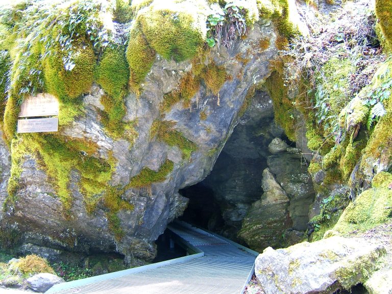 Oregon Caves National Monument and Preserve
A rare marble cave and old-growth forest trails in the Siskiyou Mountains of southwest Oregon.
-
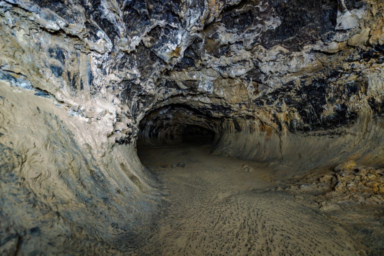 Lava Beds National Monument
More than 800 lava tube caves in far northern California, from a lit, paved cave for families to tight crawls for experienced cavers.
-
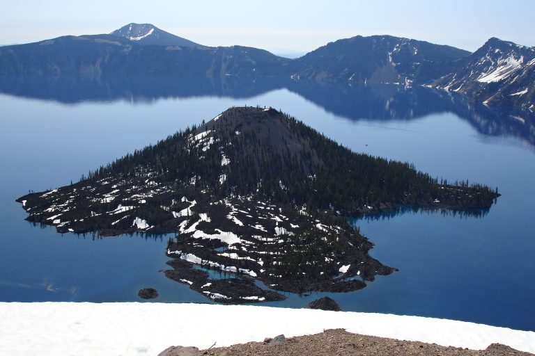 Crater Lake National Park
The deepest lake in the U.S., 1,943 feet (592 m), filling a collapsed volcano in Oregon's Cascades, circled by a 33-mile (53 km) rim drive.
-
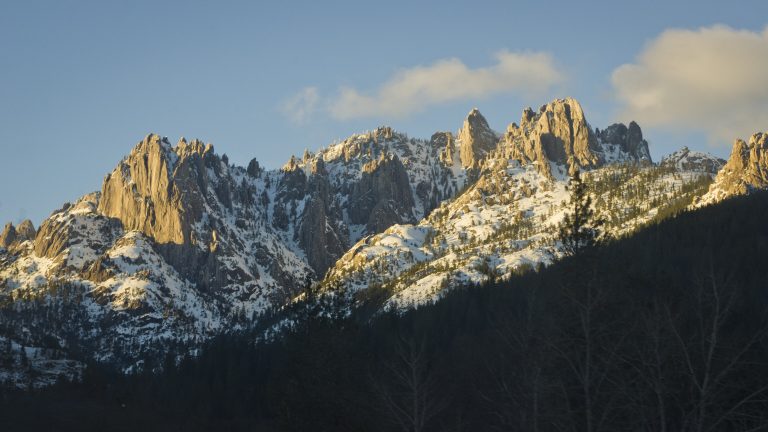 Castle Crags State Park
Granite spires 6,000 feet (1,830 m) high above the Sacramento River, with the Pacific Crest Trail and views of Shasta.
Straight-line distance between park centres. Road distance is usually longer.
Looking for somewhere closer to home?
See every park and monument within a day’s drive of where you are.