

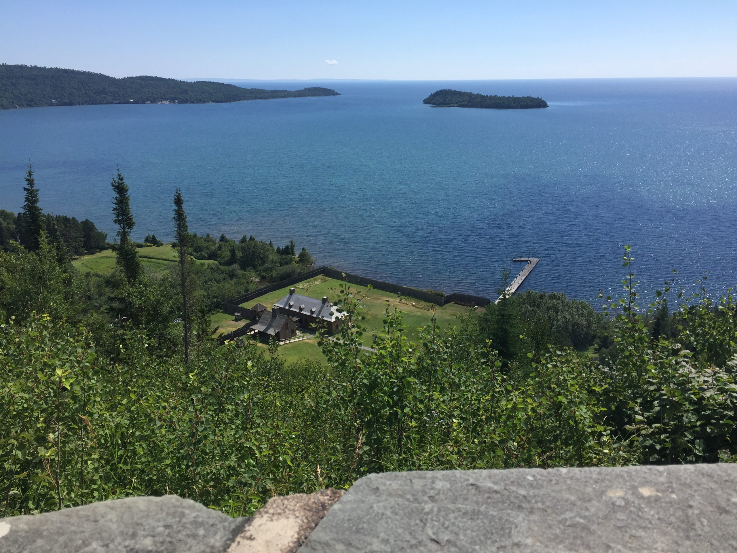
Grand Portage National Monument
Grand Portage National Monument, on Lake Superior near the Canadian border, tells the story of the Anishinaabe of Grand Portage and the fur trade, at a reconstructed North West Company depot. The historic Grand Portage trail climbs 8.5 miles (13.7 km) from the lake to the Pigeon River, with backcountry campsites at the far end.
Fast facts
- Established: 1958
- Size: about 710 acres (287 ha)
- Trail: the Grand Portage, 8.5 miles (13.7 km) from Lake Superior to Fort Charlotte on the Pigeon River
- Partners: co-managed with the Grand Portage Band of Lake Superior Chippewa
- Gateways: Grand Marais, Minnesota, and Thunder Bay, Ontario
- Managed by: the National Park Service
The landscape
The monument lies on a bay of Lake Superior below forested hills, inside the Grand Portage Indian Reservation. The portage trail climbs through birch, aspen and spruce forest to the Pigeon River, bypassing its falls and rapids, which blocked canoe travel into the interior. Moose, black bears and many birds live here.
Best time to go
Summer, when the historic depot is open and costumed interpreters work. Fall colour is excellent in late September. Winter is long and cold, but the trails are open for snowshoeing and skiing.
Getting there and around
The monument is off Minnesota Highway 61 in Grand Portage, about 36 miles (58 km) northeast of Grand Marais and about 40 miles (64 km) from the Canadian border crossing to Thunder Bay. The Heritage Center has exhibits and parking.
Things to do
Tour the reconstructed depot, with its Great Hall, kitchen and canoe warehouse, and the Anishinaabe village. The Mount Rose Trail, a short, steep paved path, climbs about 300 feet (90 m) to views over the depot and Lake Superior.
Hike the Grand Portage trail, 8.5 miles (13.7 km) one way, to the site of Fort Charlotte on the Pigeon River, where reservable backcountry campsites make an overnight trip. The trail was the historic gateway to the canoe routes of the interior, and Grand Portage State Park, with the highest waterfall in Minnesota, is nearby on the Pigeon River.
Staying safe
Lake Superior is cold all year; stay back from waves on the shore. The portage trail can be muddy and wet, with biting insects in early summer. Moose and black bears live along the trail; store food properly at campsites.
Know before you go
There is no entrance fee. The historic depot is open from Memorial Day weekend to Columbus Day; the trails and grounds are open year-round. Fort Charlotte campsites are reserved in advance. This page is a general overview, not a live conditions report, so confirm hours with the National Park Service before you go.
- Coordinates
- 47.9820, -89.7565
- Magnetic declination
- 3.3° W (2026)
Set this declination on your compass, then align it to the map's north lines; it is the angle between true north and magnetic north, refreshed each year.
How declination works, and how to navigate with a map and compass
A spread of the park’s main places shows straight away, and the rest appear as you zoom in. You can also search above, or pick any place from the lists below, and the map will go to it. Places in bold, marked , have a short description.
Getting there 1
Visitor centre
On the trail 5
Trailhead
Routes
Campground
Picnic site
Sights 2
Heritage site
Peak
Map data comes from third-party sources and may be incomplete or out of date, so carry a current official map (terms).
Looking for one of these closer to home?Destinations near me by trip type →
- Best seasons
- Summer, Early fall (foliage), Winter (snowshoeing)
- Difficulty
- Easy to moderate
- Access / trailheads
- Off Minnesota Highway 61 in Grand Portage, about 36 miles (58 km) northeast of Grand Marais.
- Water
- At the Heritage Center; treat river water at Fort Charlotte.
- Cell / satellite coverage
- Fair near the highway; patchy on the trail.
- Nearest ranger / SAR / emergency
- Emergencies: 911. Heritage Center: 218-475-0123.
- Permits & regulations
- No entrance fee. Reservations for the Fort Charlotte backcountry campsites.
- Leave No Trace
- Stay on the trail, store food from bears at campsites, and pack out all waste.
January
- Below freezing all day
February
- Below freezing all day
March
- Below-freezing nights
April
- Below-freezing nights
May
June
July
August
September
October This month
November
- Below-freezing nights
December
- Below freezing all day
What to bring depends on your trip: how long you’re out, where you sleep, and how far you go from the road. The planner builds the list for yours.
Plan a trip here →Averages for 1991–2020 from NOAA U.S. Climate Normals, measured at the Grand Portage station, 3 miles (4 km)4 km (3 miles) away at 730 feet (223 m)223 m (730 feet). Higher trails run colder, by about 3.5°F for every 1,000 ft (2°C per 300 m)2°C for every 300 m (3.5°F per 1,000 ft) of climb. Daylight runs from sunrise to sunset on the 15th, on the park’s own clock, for a level horizon. Valleys and slopes facing away from the sun are in shade earlier.
Nearby parks
-
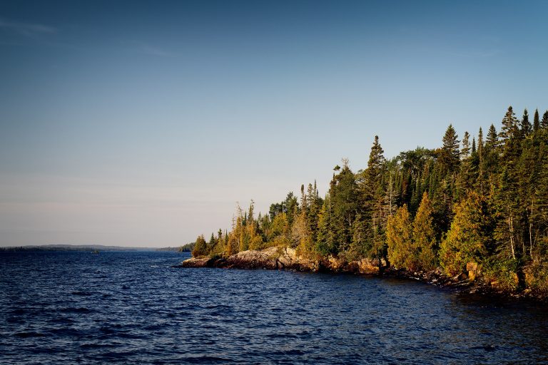 Isle Royale National Park
A remote island wilderness in Lake Superior, reached only by boat or seaplane, known for its wolves and moose.
-
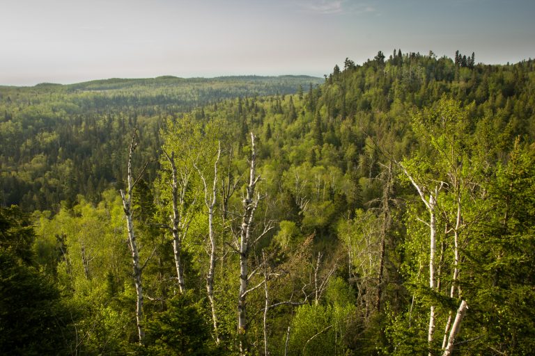 George H. Crosby Manitou State Park
Minnesota's first backpack-only park: a wild volcanic canyon of waterfalls on the Manitou River, on the Superior Hiking Trail.
-
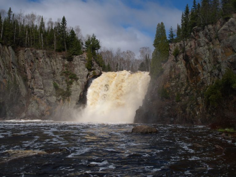 Tettegouche State Park
Lake Superior cliffs, the Baptism River's High Falls and inland lakes on Minnesota's North Shore, crossed by the Superior Hiking Trail.
-
 Porcupine Mountains Wilderness State Park
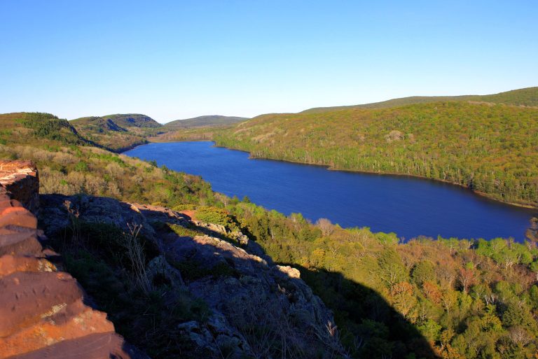
Michigan's largest state park: old-growth forest, Lake of the Clouds and wild Lake Superior shoreline on the far western Upper Peninsula.
Straight-line distance between park centres. Road distance is usually longer.
Looking for somewhere closer to home?
See every park and monument within a day’s drive of where you are.