

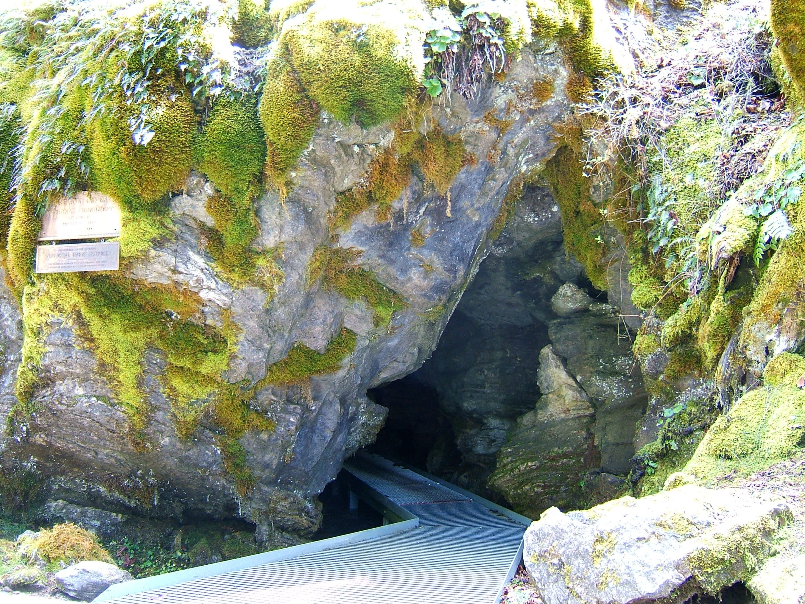
Oregon Caves National Monument and Preserve
Oregon Caves is a marble cave deep in the Siskiyou Mountains of southwest Oregon, toured with a ranger through narrow passages and chambers of flowstone. Above ground, old-growth forest trails climb through the preserve to one of the widest Douglas-firs in Oregon and to Mount Elijah.
Fast facts
- Established: 1909; the preserve was added in 2014
- Size: about 4,550 acres (18 km²)
- Cave: one of the few caves in the world formed in marble
- Historic lodge: the Chateau at the Oregon Caves, built in 1934
- Gateway: Cave Junction, Oregon, 20 miles (32 km) away
- Managed by: the National Park Service
The landscape
The cave formed as acidic water dissolved marble in the Siskiyou Mountains, one of the most botanically diverse ranges in North America. The surface is old-growth forest of Douglas-fir, Port Orford cedar and madrone, with meadows near Mount Elijah. Inside the cave it stays near 44°F (7°C).
Best time to go
Cave tours run from spring to fall, most often in summer. Summer is also best for the high trails, and fall brings fewer visitors. Winter brings snow at the cave entrance, and tours stop.
Getting there and around
From US 199 at Cave Junction, follow Highway 46 for 20 miles (32 km) to the cave; the last part is steep and winding, and trailers and large RVs are not recommended. The Illinois Valley Visitor Center in Cave Junction has information year-round.
Things to do
The ranger-led cave tour follows narrow, winding passages with many steps and low ceilings, past flowstone, columns and draperies of stone. Short surface trails loop near the entrance.
The Big Tree Trail climbs through old-growth forest to a Douglas-fir more than 12 feet (3.7 m) across, one of the widest in Oregon, and longer trails continue through the preserve to Mount Elijah, about 6,400 feet (1,950 m), with views to the Pacific on clear days.
Staying safe
The cave tour involves hundreds of stairs, tight squeezes and low ceilings; it is not suited to people with heart or breathing problems. Dress warmly for the cave. The road in is narrow and winding. On high trails, weather changes quickly.
Know before you go
Cave tours need tickets, sold on Recreation.gov and on site, and have age and height rules for children. A fee applies for tours. This page is a general overview, not a live conditions report, so confirm tour dates and road conditions with the National Park Service before you go.
- Coordinates
- 42.1045, -123.3985
- Magnetic declination
- 13.9° E (2026)
Set this declination on your compass, then align it to the map's north lines; it is the angle between true north and magnetic north, refreshed each year.
How declination works, and how to navigate with a map and compass
A spread of the park’s main places shows straight away, and the rest appear as you zoom in. You can also search above, or pick any place from the lists below, and the map will go to it. Places in bold, marked , have a short description.
Getting there 2
Park entrance
Visitor centre
On the trail 2
Trailhead
Route
Sights 4
Lake
Heritage site
Point of interest
Peak
Map data comes from third-party sources and may be incomplete or out of date, so carry a current official map (terms).
Looking for one of these closer to home?Destinations near me by trip type →
- Best seasons
- Late spring, Summer, Early fall
- Difficulty
- Easy to strenuous
- Access / trailheads
- Highway 46 for 20 miles (32 km) from Cave Junction; steep and winding near the end, not for trailers.
- Water
- At the visitor area and campground in season.
- Cell / satellite coverage
- Little to none at the cave.
- Nearest ranger / SAR / emergency
- Emergencies: 911. Illinois Valley Visitor Center: 541-592-5125.
- Permits & regulations
- Cave tour tickets (Recreation.gov or on site). Age and height rules for children on tours.
- Leave No Trace
- Never touch cave formations, stay on trails in the forest, and pack out all waste.
January
February
March
April
- Day-to-night swing of 30°F (17°C)Day-to-night swing of 17°C (30°F)
May
- Day-to-night swing of 34°F (19°C)Day-to-night swing of 19°C (34°F)
June
- Day-to-night swing of 37°F (21°C)Day-to-night swing of 21°C (37°F)
July
- Hot days
- Day-to-night swing of 42°F (23°C)Day-to-night swing of 23°C (42°F)
August
- Hot days
- Day-to-night swing of 45°F (25°C)Day-to-night swing of 25°C (45°F)
September
- Day-to-night swing of 43°F (24°C)Day-to-night swing of 24°C (43°F)
October This month
- Day-to-night swing of 33°F (18°C)Day-to-night swing of 18°C (33°F)
November
December
What to bring depends on your trip: how long you’re out, where you sleep, and how far you go from the road. The planner builds the list for yours.
Plan a trip here →Averages for 1991–2020 from NOAA U.S. Climate Normals, measured at the Cave Junction station, 13 miles (21 km)21 km (13 miles) away at 1,377 feet (420 m)420 m (1,377 feet). Higher trails run colder, by about 3.5°F for every 1,000 ft (2°C per 300 m)2°C for every 300 m (3.5°F per 1,000 ft) of climb. Daylight runs from sunrise to sunset on the 15th, on the park’s own clock, for a level horizon. Valleys and slopes facing away from the sun are in shade earlier.
Nearby parks
-
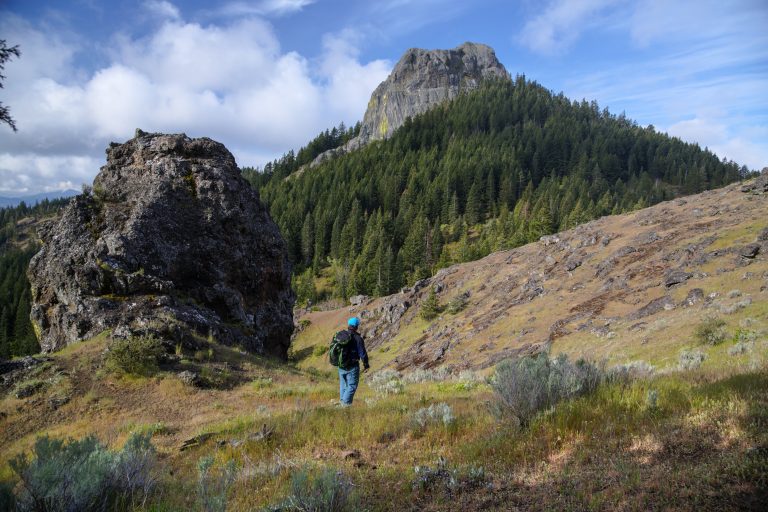 Cascade-Siskiyou National Monument
Where three mountain ranges meet above Ashland, Oregon, with Pacific Crest Trail walks to Hobart Bluff and Pilot Rock.
-
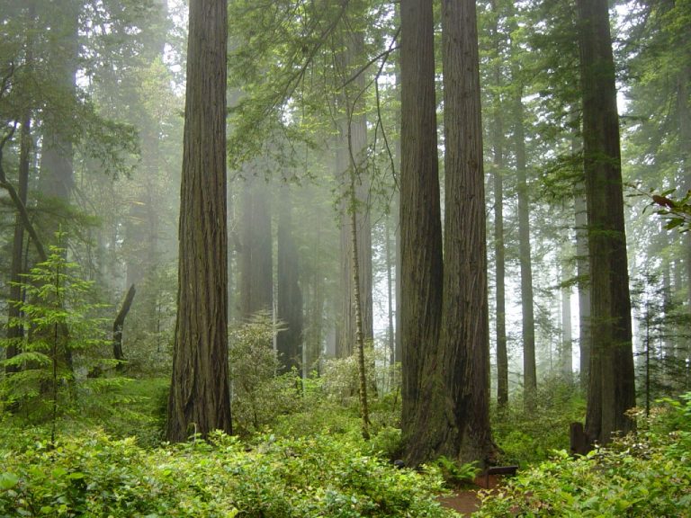 Redwood National Park
The tallest trees on Earth in old-growth redwood groves on California's North Coast, with elk and wild beaches.
-
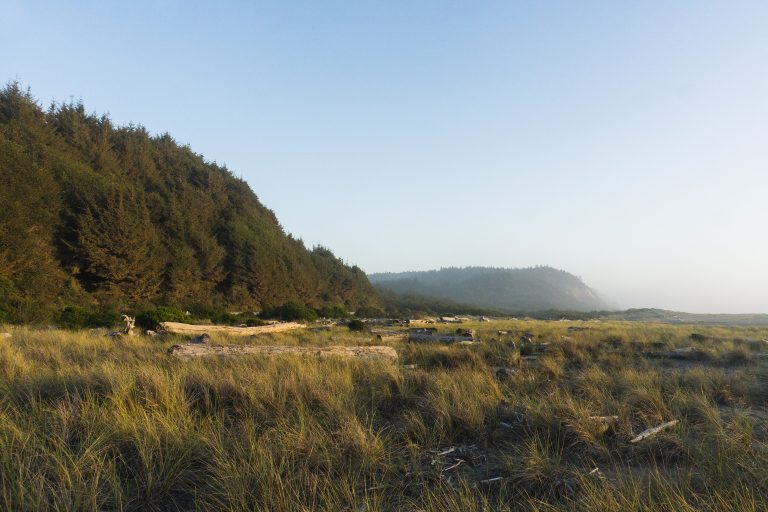 Prairie Creek Redwoods State Park
Roosevelt elk in the meadows, Fern Canyon's green walls and old-growth redwoods on California's North Coast.
-
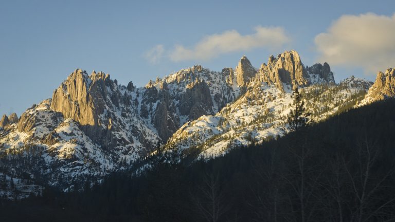 Castle Crags State Park
Granite spires 6,000 feet (1,830 m) high above the Sacramento River, with the Pacific Crest Trail and views of Shasta.
Straight-line distance between park centres. Road distance is usually longer.
Looking for somewhere closer to home?
See every park and monument within a day’s drive of where you are.