

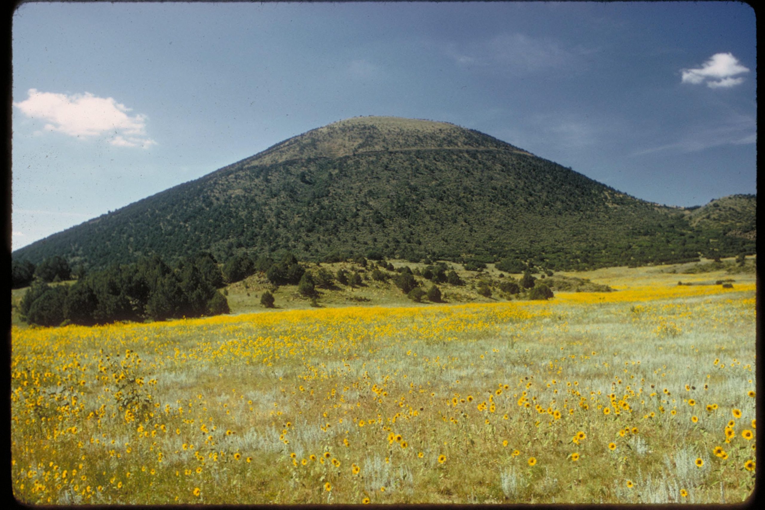
Capulin Volcano National Monument
Capulin Volcano is a near-perfect cinder cone rising above the high plains of northeastern New Mexico. A road spirals to the rim, where a trail circles the crater with views into four states, and another path drops into the vent.
Fast facts
- Established: 1916
- Size: about 793 acres (321 ha)
- Rim elevation: 8,182 feet (2,494 m) at the high point of the crater rim trail
- Volcanic field: the Raton-Clayton volcanic field, about 8,000 square miles (20,700 km²)
- Gateways: Raton, 33 miles (53 km) west, and Clayton
- Managed by: the National Park Service
The landscape
Capulin erupted about 60,000 years ago, building a steep cone of cinders with lava flows spreading from its base. Pinyon, juniper and chokecherry (capulín in Spanish) cover its slopes. From the rim, dozens of other cones and mesas of the volcanic field stretch across the plains.
Best time to go
Late spring to fall. Summer highs are around 80-86°F (27-30°C), with afternoon thunderstorms. Snow from December to April can close the volcano road for a time.
Getting there and around
The monument is on NM 325, 3 miles (5 km) north of US 64 at the village of Capulin, 33 miles (53 km) east of Raton. From the visitor center, a 2-mile (3.2 km) road spirals up the cone to a parking area on the rim; vehicles use it only during set hours.
Things to do
The Crater Rim Trail is a 1-mile (1.6 km) paved loop around the top of the volcano, climbing to the high point with views of New Mexico, Colorado, Oklahoma and Texas on clear days. The Crater Vent Trail drops a short way into the crater.
Quieter trails at the base of the volcano cross lava flows. On summer evenings rangers hold night-sky programs; Capulin is an International Dark Sky Park.
Staying safe
The rim is exposed to lightning and strong wind, so leave when storms build. At over 8,000 feet (2,440 m), the climbs on the rim trail are tiring. Stay on trails: the cinders are loose and scar easily.
Know before you go
An entrance fee applies (America the Beautiful pass accepted). The volcano road has set hours and closes in snow. There is no camping in the monument. This page is a general overview, not a live conditions report, so confirm road hours with the National Park Service before you go.
- Coordinates
- 36.7816, -103.9731
- Magnetic declination
- 6.7° E (2026)
Set this declination on your compass, then align it to the map's north lines; it is the angle between true north and magnetic north, refreshed each year.
How declination works, and how to navigate with a map and compass
A spread of the park’s main places shows straight away, and the rest appear as you zoom in. You can also search above, or pick any place from the lists below, and the map will go to it. Places in bold, marked , have a short description.
Getting there 2
Park entrance
Visitor centre
On the trail 2
Routes
Sights 2
Peaks
Map data comes from third-party sources and may be incomplete or out of date, so carry a current official map (terms).
Looking for one of these closer to home?Destinations near me by trip type →
- Best seasons
- Late spring, Summer, Fall
- Difficulty
- Easy to moderate
- Access / trailheads
- NM 325, 3 miles (5 km) north of US 64 at Capulin, 33 miles (53 km) east of Raton; 2-mile (3.2 km) road to the rim.
- Water
- At the visitor center.
- Cell / satellite coverage
- Fair on the rim.
- Nearest ranger / SAR / emergency
- Emergencies: 911. Visitor center: 575-278-2201.
- Permits & regulations
- Entrance fee (America the Beautiful pass accepted). Volcano road open to vehicles during set hours.
- Leave No Trace
- Stay on trails, leave cinders and plants in place, and pack out all waste.
January
- Below-freezing nights
- Day-to-night swing of 31°F (17°C)Day-to-night swing of 17°C (31°F)
February
- Below-freezing nights
- Day-to-night swing of 31°F (17°C)Day-to-night swing of 17°C (31°F)
March
- Below-freezing nights
- Day-to-night swing of 33°F (18°C)Day-to-night swing of 18°C (33°F)
April
- Below-freezing nights
- Day-to-night swing of 33°F (18°C)Day-to-night swing of 18°C (33°F)
May
- Day-to-night swing of 34°F (19°C)Day-to-night swing of 19°C (34°F)
June
- Day-to-night swing of 34°F (19°C)Day-to-night swing of 19°C (34°F)
July
- Day-to-night swing of 32°F (18°C)Day-to-night swing of 18°C (32°F)
August
- Day-to-night swing of 30°F (17°C)Day-to-night swing of 17°C (30°F)
September
- Day-to-night swing of 31°F (17°C)Day-to-night swing of 17°C (31°F)
October This month
- Day-to-night swing of 34°F (19°C)Day-to-night swing of 19°C (34°F)
November
- Below-freezing nights
- Day-to-night swing of 33°F (18°C)Day-to-night swing of 18°C (33°F)
December
- Below-freezing nights
- Day-to-night swing of 32°F (18°C)Day-to-night swing of 18°C (32°F)
What to bring depends on your trip: how long you’re out, where you sleep, and how far you go from the road. The planner builds the list for yours.
Plan a trip here →Averages for 1991–2020 from NOAA U.S. Climate Normals, measured at the Capulin station, 3 miles (5 km)5 km (3 miles) away at 6,840 feet (2,085 m)2,085 m (6,840 feet). Higher trails run colder, by about 3.5°F for every 1,000 ft (2°C per 300 m)2°C for every 300 m (3.5°F per 1,000 ft) of climb. Daylight runs from sunrise to sunset on the 15th, on the park’s own clock, for a level horizon. Valleys and slopes facing away from the sun are in shade earlier.
Nearby parks
-
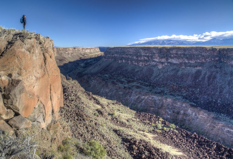 Río Grande del Norte National Monument
The Rio Grande’s basalt gorge near Taos, with rim walks, steep trails to the river and the Taos Box whitewater run.
-
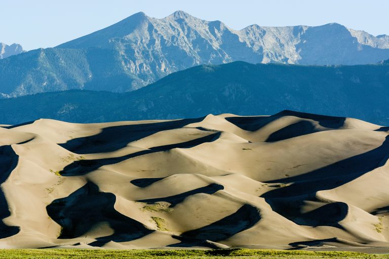 Great Sand Dunes National Park
The tallest dunes in North America, about 750 feet (230 m) high, below the Sangre de Cristo Mountains in Colorado's San Luis Valley.
-
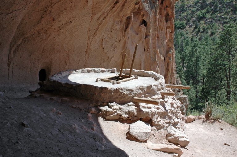 Bandelier National Monument
Cliff dwellings reached by ladder in Frijoles Canyon, and 70-plus miles of backcountry trail across New Mexico’s Pajarito Plateau.
-
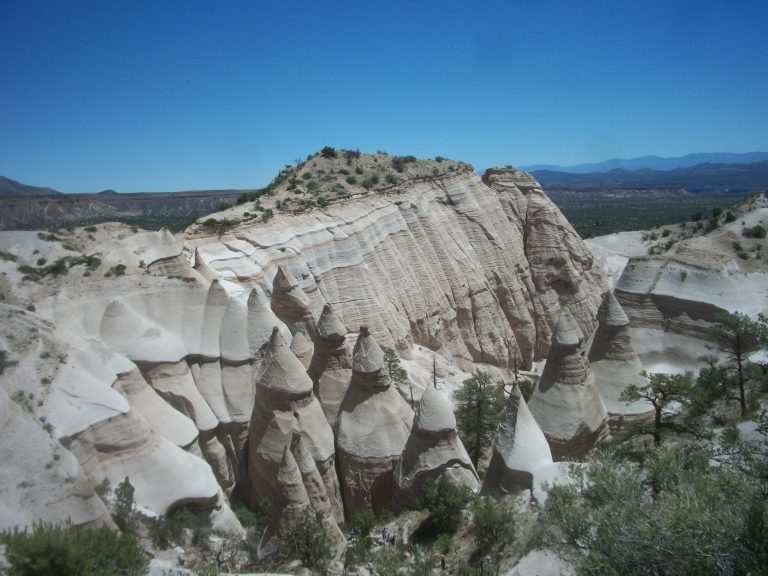 Kasha-Katuwe Tent Rocks National Monument
Cone-shaped tent rocks and a narrow slot canyon between Santa Fe and Albuquerque, with a steep climb to a mesa-top view.
Straight-line distance between park centres. Road distance is usually longer.
Looking for somewhere closer to home?
See every park and monument within a day’s drive of where you are.