

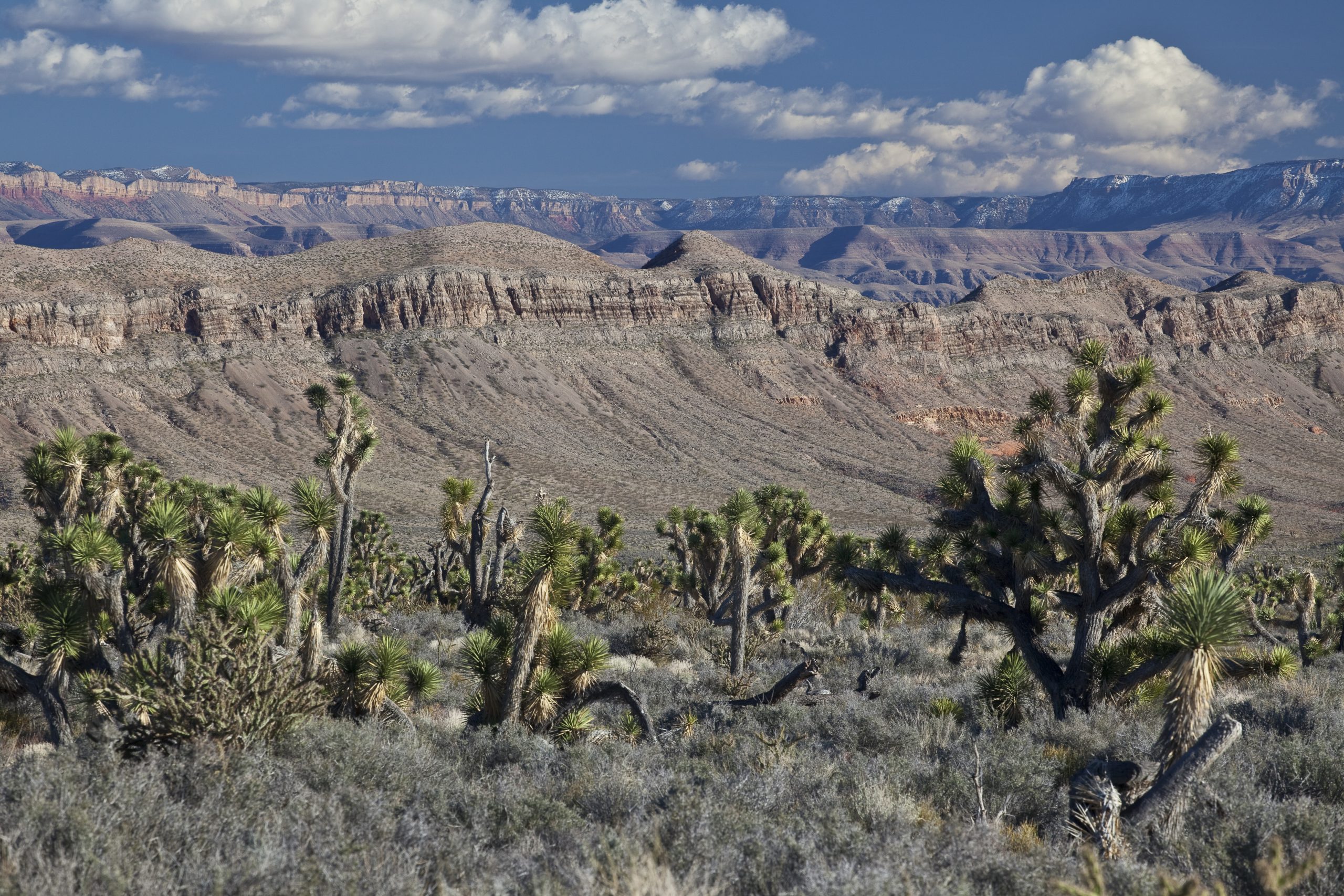
Grand Canyon-Parashant National Monument
Grand Canyon-Parashant is more than a million acres of the Arizona Strip, north of the Grand Canyon and west of Kanab, with no paved roads, no services and no visitor center inside its boundaries. Reaching it takes a capable vehicle and self-sufficiency, and the reward is remote canyon rims, volcanic peaks and total solitude.
Fast facts
- Established: 2000
- Size: about 1 million acres (4,100 km²)
- Roads: no paved roads and no visitor services inside the monument
- Highest points: Mount Trumbull, about 8,000 feet (2,440 m), and Mount Logan
- Information: the interagency Public Lands Center in St. George, Utah
- Managed by: the Bureau of Land Management and the National Park Service
The landscape
The monument runs from low Mojave Desert on the west, near the Nevada line, to pinyon, juniper and ponderosa highlands on the east, where volcanic peaks rise above the plateau. Its southern edge drops into the western Grand Canyon. People have lived here for more than 11,000 years, and the land holds rock art, pueblo sites and old ranches, with almost no one else around.
Best time to go
Spring and fall are best. The low western side is over 100°F (38°C) from June to September, and the high east side is about 15°F (8°C) cooler. Monsoon storms from June to September turn roads to mud, and roads above about 5,500 feet (1,680 m) are often muddy or icy from December to February.
Getting there and around
Access is by long, rough dirt roads from St. George, Utah, from Colorado City and Fredonia, Arizona, and from Mesquite, Nevada. Plan on a high-clearance vehicle with all-terrain tires and at least one full-size all-terrain spare, plus extra fuel. Distances are long: many destinations are a full day’s drive from pavement. The road to Toroweap Overlook crosses the monument, but the overlook itself is in Grand Canyon National Park.
Things to do
With the right vehicle, Nampaweap is a short walk to a rock art site near Mount Trumbull, and the drive to the Mount Trumbull area passes old ranches and a historic schoolhouse.
Short, steep trails climb Mount Trumbull and Mount Logan through ponderosa forest to views across the Arizona Strip. Remote overlooks at the monument’s edge look into the western Grand Canyon. Everything else is cross-country: canyon hiking, peak scrambles and multi-day trips where you plan routes by map and carry all your water.
Staying safe
Remoteness is the main hazard. There is no cell service, no water and no one to help nearby, so tell someone exactly where you are going and when you will be back, and carry a satellite messenger. A flat tire or a stuck vehicle can mean days of waiting, so carry tools, spares, extra water and food. Heat on the west side is life-threatening in summer.
Know before you go
There are no entrance fees and no facilities. Check road conditions with the Public Lands Center in St. George before you go; roads can be impassable after rain or snow. This page is a general overview, not a live conditions report, so confirm conditions with the Bureau of Land Management or the National Park Service before you go.
- Coordinates
- 36.3175, -113.5277
- Magnetic declination
- 10.5° E (2026)
Set this declination on your compass, then align it to the map's north lines; it is the angle between true north and magnetic north, refreshed each year.
How declination works, and how to navigate with a map and compass
A spread of the park’s main places shows straight away, and the rest appear as you zoom in. You can also search above, or pick any place from the lists below, and the map will go to it. Places in bold, marked , have a short description.
Getting there 2
Airstrips
On the trail 3
Trailheads
Sights 77
Viewpoints
Lakes
Heritage sites
Peaks 30
Map data comes from third-party sources and may be incomplete or out of date, so carry a current official map (terms).
Looking for one of these closer to home?Destinations near me by trip type →
- Best seasons
- Spring, Fall
- Difficulty
- Strenuous (remote wilderness)
- Access / trailheads
- Long dirt roads from St. George (Utah), Colorado City and Fredonia (Arizona) and Mesquite (Nevada). High-clearance vehicle, all-terrain tires and a full-size spare required in practice.
- Water
- None reliable. Carry all you need for the whole trip, plus extra.
- Cell / satellite coverage
- None. Carry a satellite messenger.
- Nearest ranger / SAR / emergency
- Emergencies: 911 (a satellite messenger is the only reliable way to reach it). Public Lands Center, St. George: 435-688-3200.
- Permits & regulations
- No entrance fee. No facilities or services.
- Leave No Trace
- Camp on previously used sites, stay on existing roads, leave rock art and artifacts untouched, and pack out everything.
January
- Below-freezing nights
February
- Below-freezing nights
March
- Below-freezing nights
- Day-to-night swing of 30°F (17°C)Day-to-night swing of 17°C (30°F)
April
- Day-to-night swing of 32°F (18°C)Day-to-night swing of 18°C (32°F)
May
- Day-to-night swing of 33°F (18°C)Day-to-night swing of 18°C (33°F)
June
- Day-to-night swing of 35°F (19°C)Day-to-night swing of 19°C (35°F)
July
- Hot days
- Day-to-night swing of 33°F (18°C)Day-to-night swing of 18°C (33°F)
August
- Hot days
- Day-to-night swing of 32°F (18°C)Day-to-night swing of 18°C (32°F)
September
- Day-to-night swing of 33°F (18°C)Day-to-night swing of 18°C (33°F)
October This month
- Day-to-night swing of 32°F (18°C)Day-to-night swing of 18°C (32°F)
November
- Below-freezing nights
December
- Below-freezing nights
What to bring depends on your trip: how long you’re out, where you sleep, and how far you go from the road. The planner builds the list for yours.
Plan a trip here →Averages for 1991–2020 from NOAA U.S. Climate Normals, measured at the Pipe Spring National Monument station, 42 miles (67 km)67 km (42 miles) away at 4,920 feet (1,500 m)1,500 m (4,920 feet). Higher trails run colder, by about 3.5°F for every 1,000 ft (2°C per 300 m)2°C for every 300 m (3.5°F per 1,000 ft) of climb. Daylight runs from sunrise to sunset on the 15th, on the park’s own clock, for a level horizon. Valleys and slopes facing away from the sun are in shade earlier.
Nearby parks
-
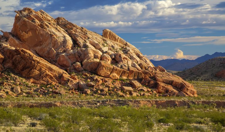 Gold Butte National Monument
Red sandstone, rock art and remote desert near Mesquite, Nevada, reached by long dirt roads with no services.
-
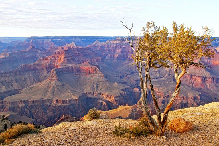 Grand Canyon National Park
A mile-deep (1.6 km) canyon carved by the Colorado River, with rim viewpoints and inner-canyon trails.
-
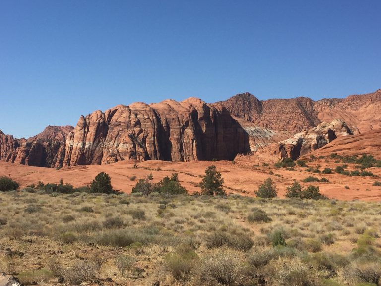 Snow Canyon State Park
Red and white sandstone cliffs, black lava flows and sand dunes in a compact desert canyon minutes from St. George.
-
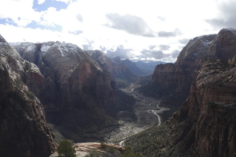 Zion National Park
Towering sandstone walls above the Virgin River in southwest Utah, with Angels Landing, the Narrows and the quieter Kolob Canyons.
Straight-line distance between park centres. Road distance is usually longer.
Looking for somewhere closer to home?
See every park and monument within a day’s drive of where you are.