

Petroglyph National Monument
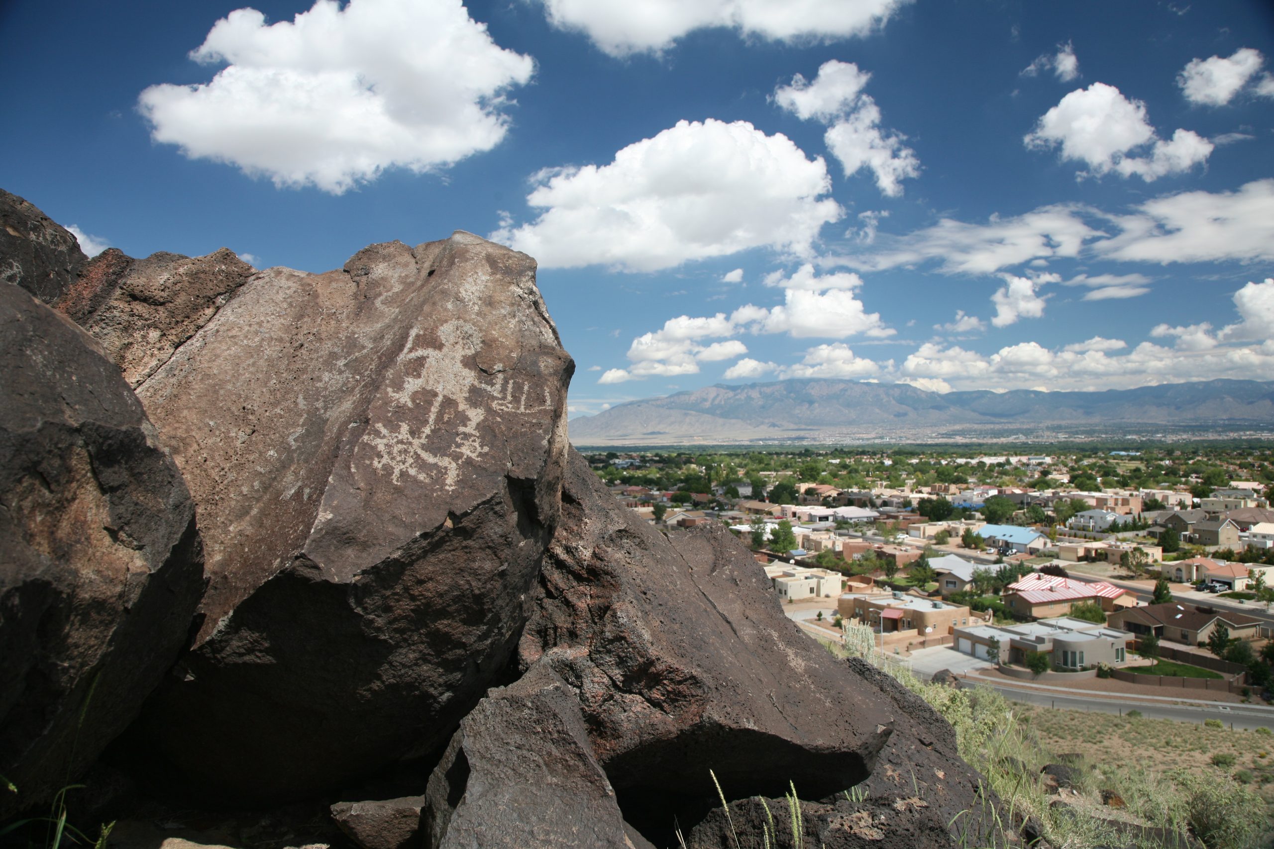
Petroglyph National Monument protects one of the largest collections of petroglyphs in North America, carved into volcanic boulders along a 17-mile (27 km) escarpment on the west side of Albuquerque. Short trails in three canyons lead to thousands of images, and a separate area climbs among the volcanoes behind them.
Fast facts
- Established: 1990
- Size: about 7,200 acres (29 km²)
- Petroglyphs: more than 20,000 images, most carved 400 to 700 years ago
- Volcanoes: five cinder cones along the west edge
- Gateway: Albuquerque, New Mexico
- Managed by: the National Park Service and the City of Albuquerque
The landscape
Basalt from volcanic eruptions about 200,000 years ago formed the West Mesa and its dark escarpment. Ancestral Pueblo people, and later Spanish settlers, pecked designs through the dark surface of the boulders to the lighter rock beneath: animals, people, spirals, crosses and brands. Above the escarpment, cinder cones rise from open grassland with views across the Rio Grande valley to the Sandia Mountains.
Best time to go
Fall, winter and spring are most comfortable, with winter days around 40-50°F (4-10°C). Summer is hot, 88-99°F (31-37°C), with little shade. Spring can be windy, with blowing sand.
Getting there and around
The Visitor Information Center is on Western Trail at Unser Boulevard, about 3 miles (5 km) north of I-40. Boca Negra Canyon, Rinconada Canyon and Piedras Marcadas Canyon are separate sites along the escarpment, and the Volcanoes Day Use Area is on Atrisco Vista Boulevard to the west.
Things to do
Boca Negra Canyon has three short paved trails with about 100 petroglyphs close at hand, the easiest visit. Rinconada Canyon is a sandy walk of about 2.2 miles (3.5 km) round trip past up to 300 petroglyphs, many at the back of the canyon, and Piedras Marcadas, about 1.5 miles (2.4 km) in and out, is quieter.
At the Volcanoes Day Use Area, trails of 1 to 4 miles (1.6 to 6.4 km) wind around the bases of the cinder cones to a scenic overlook, with no petroglyphs but wide views and fewer people.
Staying safe
There is little shade and no water on most trails, so carry water and avoid midday heat in summer. Watch for rattlesnakes in warm months. Trailheads are in the city: lock your car and leave nothing valuable in sight.
Know before you go
There is no entrance fee for the monument, though the city charges for parking at Boca Negra Canyon. Hiking to the tops of the volcanoes and climbing on petroglyph boulders are prohibited. This page is a general overview, not a live conditions report, so confirm trail hours and conditions with the National Park Service before you go.
- Coordinates
- 35.1462, -106.7264
- Magnetic declination
- 7.9° E (2026)
Set this declination on your compass, then align it to the map's north lines; it is the angle between true north and magnetic north, refreshed each year.
How declination works, and how to navigate with a map and compass
A spread of the park’s main places shows straight away, and the rest appear as you zoom in. You can also search above, or pick any place from the lists below, and the map will go to it. Places in bold, marked , have a short description.
Getting there 1
Visitor centre
On the trail 4
Trailheads
Route
Sights 9
Heritage sites
Points of interest
Peaks
Map data comes from third-party sources and may be incomplete or out of date, so carry a current official map (terms).
Looking for one of these closer to home?Destinations near me by trip type →
- Best seasons
- Fall, Winter, Spring
- Difficulty
- Easy to moderate
- Access / trailheads
- Visitor Information Center on Western Trail at Unser Boulevard, about 3 miles (5 km) north of I-40. Trail areas are separate sites across west Albuquerque.
- Water
- At the visitor center and Boca Negra Canyon. None at the other trailheads.
- Cell / satellite coverage
- Good throughout.
- Nearest ranger / SAR / emergency
- Emergencies: 911. Visitor Information Center: 505-899-0205.
- Permits & regulations
- No entrance fee; city parking fee at Boca Negra Canyon. No climbing on petroglyph boulders or to the tops of the volcanoes.
- Leave No Trace
- Stay on trails, never touch or trace petroglyphs, and carry out all waste.
January
- Below-freezing nights
February
- Below-freezing nights
March
- Day-to-night swing of 31°F (17°C)Day-to-night swing of 17°C (31°F)
April
- Day-to-night swing of 31°F (17°C)Day-to-night swing of 17°C (31°F)
May
- Day-to-night swing of 31°F (17°C)Day-to-night swing of 17°C (31°F)
June
- Hot days
- Day-to-night swing of 32°F (18°C)Day-to-night swing of 18°C (32°F)
July
- Hot days
August
- Hot days
September
October This month
November
- Below-freezing nights
December
- Below-freezing nights
What to bring depends on your trip: how long you’re out, where you sleep, and how far you go from the road. The planner builds the list for yours.
Plan a trip here →Averages for 1991–2020 from NOAA U.S. Climate Normals, measured at the Petroglyph National Monument station, 3 miles (4 km)4 km (3 miles) away at 5,121 feet (1,561 m)1,561 m (5,121 feet). Higher trails run colder, by about 3.5°F for every 1,000 ft (2°C per 300 m)2°C for every 300 m (3.5°F per 1,000 ft) of climb. Daylight runs from sunrise to sunset on the 15th, on the park’s own clock, for a level horizon. Valleys and slopes facing away from the sun are in shade earlier.
Nearby parks
-
 Kasha-Katuwe Tent Rocks National Monument
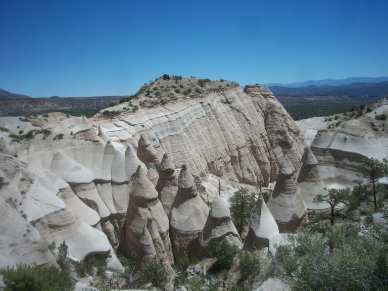
Cone-shaped tent rocks and a narrow slot canyon between Santa Fe and Albuquerque, with a steep climb to a mesa-top view.
-
 Bandelier National Monument
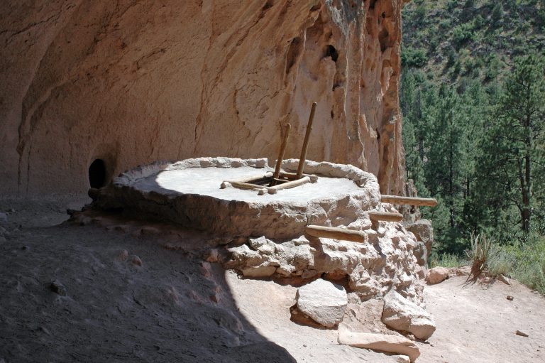
Cliff dwellings reached by ladder in Frijoles Canyon, and 70-plus miles of backcountry trail across New Mexico’s Pajarito Plateau.
-
 El Malpais National Monument
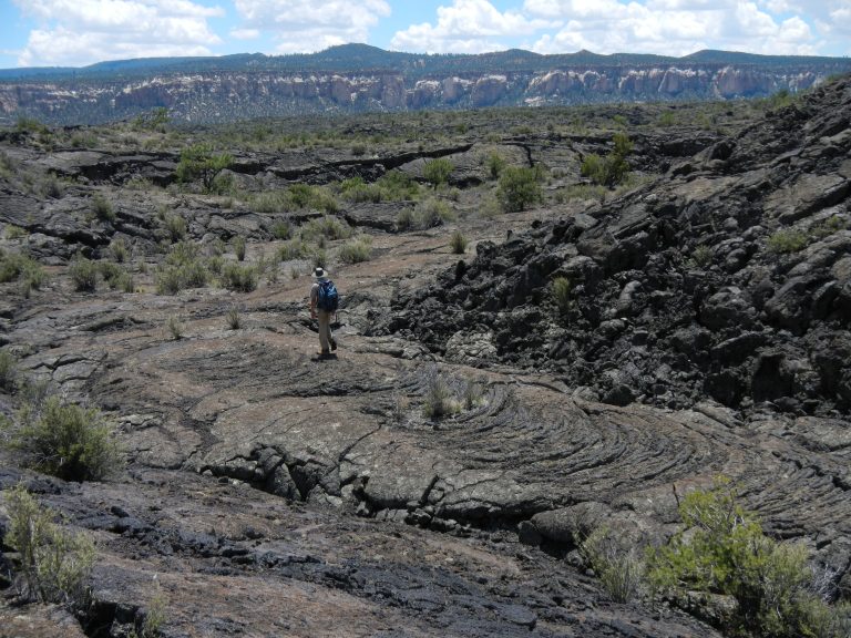
Lava flows, cinder cones and lava tube caves south of Grants, New Mexico, crossed by the ancient Zuni-Acoma Trail.
-
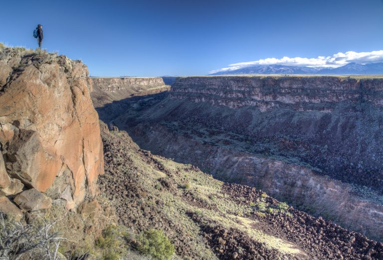 Río Grande del Norte National Monument
The Rio Grande’s basalt gorge near Taos, with rim walks, steep trails to the river and the Taos Box whitewater run.
Straight-line distance between park centres. Road distance is usually longer.
Looking for somewhere closer to home?
See every park and monument within a day’s drive of where you are.