

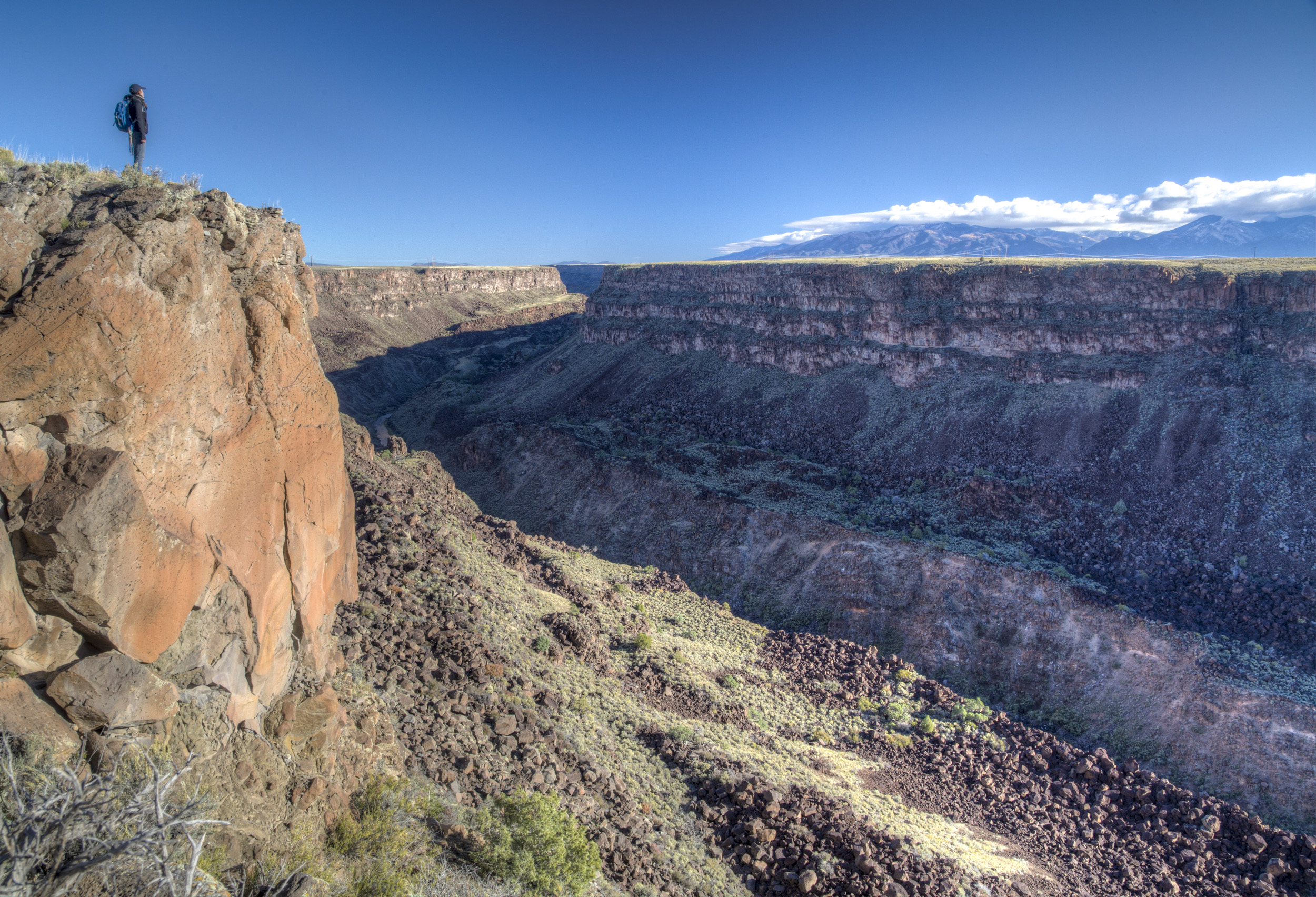
Río Grande del Norte National Monument
Río Grande del Norte follows the Rio Grande through a basalt gorge up to 800 feet (240 m) deep across the Taos Plateau of northern New Mexico. Easy rim trails and overlooks look down on the river, and steep trails drop to its banks for fishing, camping and hiking along the water.
Fast facts
- Established: 2013
- Size: about 242,500 acres (981 km²)
- Gorge: up to 800 feet (240 m) deep, cut into volcanic basalt
- Highest point: Ute Mountain, 10,093 feet (3,076 m)
- Gateways: Taos, Questa and Cerro
- Managed by: the Bureau of Land Management
The landscape
The Rio Grande runs through a narrow gorge in layered black basalt, with springs, cottonwoods and willows at the bottom. The plateau above is open sagebrush grassland dotted with volcanoes, the largest of them Ute Mountain. The river was one of the first in the country protected as a Wild and Scenic River, and elk, bighorn sheep, raptors and river otters live here.
Best time to go
Spring and fall are best. Summer is warm on the rim and hot in the gorge, with afternoon thunderstorms in July and August. Winter is cold and windy on the plateau, around 7,000 feet (2,130 m), but the gorge can be walked on sunny days.
Getting there and around
The Wild Rivers Recreation Area is west of NM 522 near Cerro, north of Questa, with a visitor center and campgrounds along its rim road. The Rio Grande Gorge Bridge carries US 64 over the gorge west of Taos. The Orilla Verde area near Pilar, south of Taos, has river-level campgrounds and trails.
Things to do
At Wild Rivers, easy rim trails and overlooks look down on the gorge and on La Junta, where the Red River joins the Rio Grande. Near Taos, walk onto the Gorge Bridge for the view straight down, or follow river-level trails in the Orilla Verde area.
The La Junta Trail drops about 800 feet (240 m) in 1.2 miles (1.9 km) to the confluence, and the Big Arsenic Springs Trail descends to springs and a few riverside campsites. The River Trail links them for loops along the water. Paddlers run the Taos Box, one of the classic whitewater trips in the Southwest, and hikers climb Ute Mountain’s slopes in the north.
Staying safe
The climb back out of the gorge is steep and hot in summer, so budget your energy and water for it. Trails are rocky, with loose basalt and drop-offs. The river is cold and fast with serious rapids in places; do not swim in current. Watch for rattlesnakes in warm weather, and stay off the rim in lightning.
Know before you go
Day-use and camping fees apply at developed sites; riverside campsites in the gorge are few and go first come, first served. This page is a general overview, not a live conditions report, so confirm river levels and conditions with the Bureau of Land Management before you go.
- Coordinates
- 36.6403, -105.8770
- Magnetic declination
- 7.6° E (2026)
Set this declination on your compass, then align it to the map's north lines; it is the angle between true north and magnetic north, refreshed each year.
How declination works, and how to navigate with a map and compass
A spread of the park’s main places shows straight away, and the rest appear as you zoom in. You can also search above, or pick any place from the lists below, and the map will go to it. Places in bold, marked , have a short description.
Getting there 2
Airstrip
Visitor centre
On the trail 17
Trailheads
Route
Campgrounds
Sights 20
Viewpoints
Heritage site
Point of interest
Peaks 12
Map data comes from third-party sources and may be incomplete or out of date, so carry a current official map (terms).
Looking for one of these closer to home?Destinations near me by trip type →
- Best seasons
- Spring, Fall
- Difficulty
- Easy to strenuous
- Access / trailheads
- Wild Rivers Recreation Area off NM 522 near Cerro; Rio Grande Gorge Bridge on US 64 west of Taos; Orilla Verde near Pilar.
- Water
- At developed campgrounds. Springs in the gorge; treat all water.
- Cell / satellite coverage
- Fair on the rim; little to none in the gorge.
- Nearest ranger / SAR / emergency
- Emergencies: 911. BLM Taos Field Office: 575-758-8851.
- Permits & regulations
- Day-use and camping fees at developed sites. First-come riverside campsites in the gorge.
- Leave No Trace
- Camp at designated sites in the gorge, pack out all waste, and leave springs clean for wildlife.
January
- Below-freezing nights
February
- Below-freezing nights
March
- Below-freezing nights
- Day-to-night swing of 32°F (18°C)Day-to-night swing of 18°C (32°F)
April
- Below-freezing nights
- Day-to-night swing of 35°F (19°C)Day-to-night swing of 19°C (35°F)
May
- Day-to-night swing of 35°F (19°C)Day-to-night swing of 19°C (35°F)
June
- Day-to-night swing of 36°F (20°C)Day-to-night swing of 20°C (36°F)
July
- Day-to-night swing of 34°F (19°C)Day-to-night swing of 19°C (34°F)
August
- Day-to-night swing of 33°F (18°C)Day-to-night swing of 18°C (33°F)
September
- Day-to-night swing of 34°F (19°C)Day-to-night swing of 19°C (34°F)
October This month
- Below-freezing nights
- Day-to-night swing of 35°F (19°C)Day-to-night swing of 19°C (35°F)
November
- Below-freezing nights
- Day-to-night swing of 32°F (18°C)Day-to-night swing of 18°C (32°F)
December
- Below-freezing nights
What to bring depends on your trip: how long you’re out, where you sleep, and how far you go from the road. The planner builds the list for yours.
Plan a trip here →Averages for 1991–2020 from NOAA U.S. Climate Normals, measured at the Cerro station, 17 miles (28 km)28 km (17 miles) away at 7,650 feet (2,332 m)2,332 m (7,650 feet). Higher trails run colder, by about 3.5°F for every 1,000 ft (2°C per 300 m)2°C for every 300 m (3.5°F per 1,000 ft) of climb. Daylight runs from sunrise to sunset on the 15th, on the park’s own clock, for a level horizon. Valleys and slopes facing away from the sun are in shade earlier.
Nearby parks
-
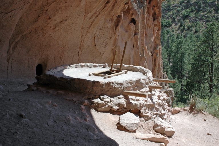 Bandelier National Monument
Cliff dwellings reached by ladder in Frijoles Canyon, and 70-plus miles of backcountry trail across New Mexico’s Pajarito Plateau.
-
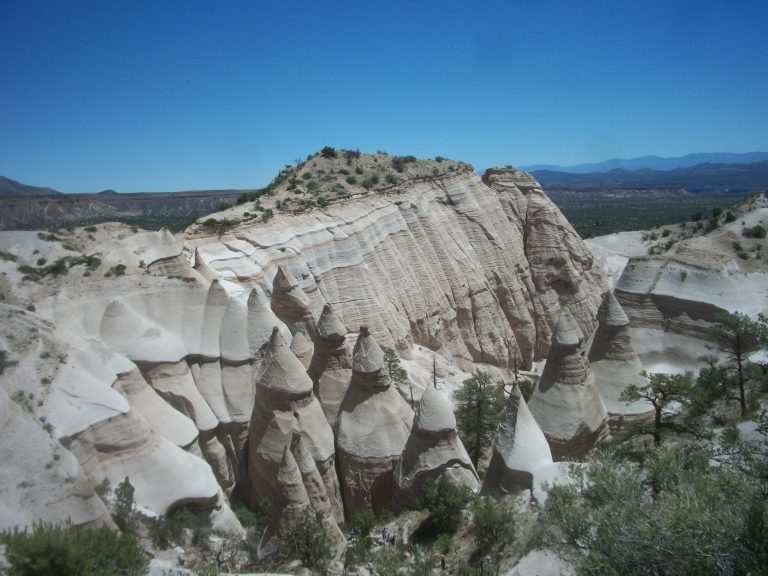 Kasha-Katuwe Tent Rocks National Monument
Cone-shaped tent rocks and a narrow slot canyon between Santa Fe and Albuquerque, with a steep climb to a mesa-top view.
-
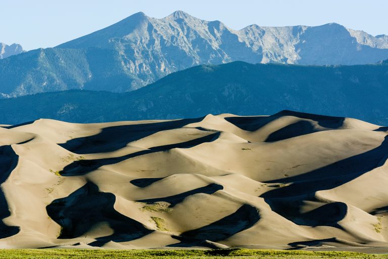 Great Sand Dunes National Park
The tallest dunes in North America, about 750 feet (230 m) high, below the Sangre de Cristo Mountains in Colorado's San Luis Valley.
-
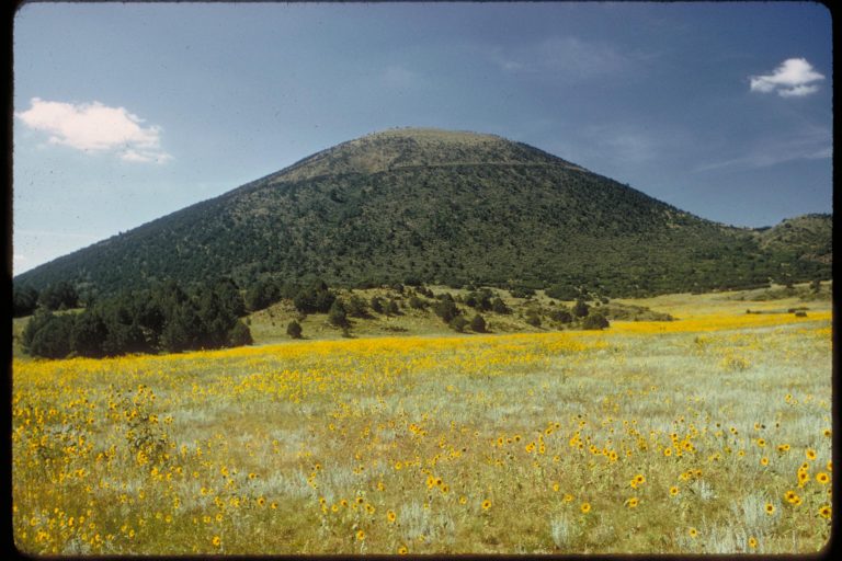 Capulin Volcano National Monument
A near-perfect cinder cone on New Mexico’s high plains, with a road to the rim and a trail around the crater.
Straight-line distance between park centres. Road distance is usually longer.
Looking for somewhere closer to home?
See every park and monument within a day’s drive of where you are.