

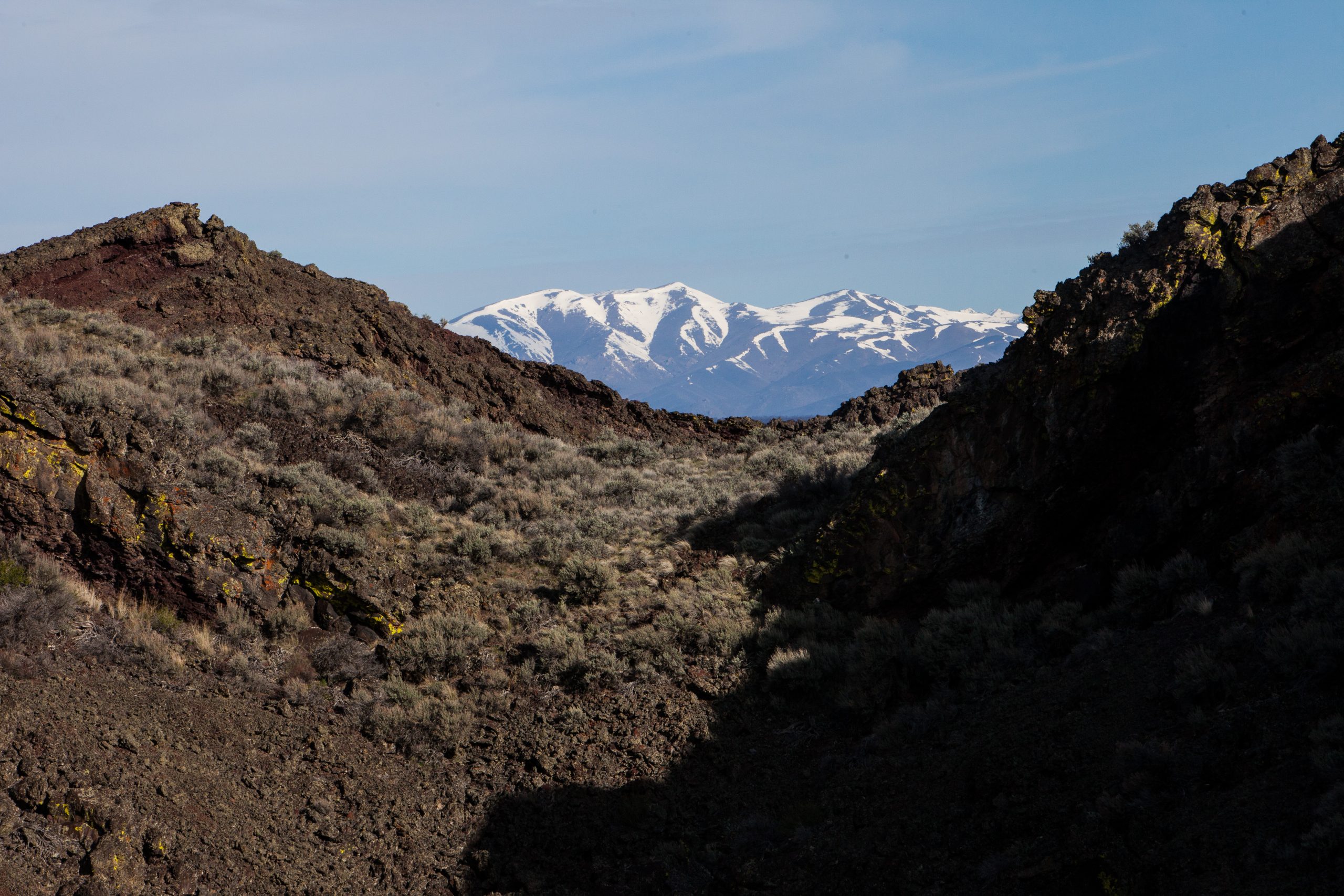
Craters of the Moon National Monument and Preserve
Craters of the Moon is a sea of black lava in the middle of Idaho’s Snake River Plain, dotted with cinder cones, spatter cones and lava tube caves. A 7-mile (11 km) loop road reaches most of the short trails, and a designated wilderness beyond it offers overnight trips across lava where few people ever go.
Fast facts
- Established: 1924; enlarged in 2000 with the preserve and BLM monument lands
- Size: about 1,117 square miles (2,893 km²), monument and preserve together
- Geology: three major lava fields along the Great Rift, the most recent eruptions about 2,000 years ago
- Night sky: an International Dark Sky Park
- Gateways: Arco, 18 miles (29 km) northeast, and Carey
- Managed by: the National Park Service and the Bureau of Land Management
The landscape
Lava flows here range from smooth, ropy pahoehoe to jagged, clinkery a’a, and between them rise cinder cones, spatter cones and the open mouths of lava tubes. Limber pine and sagebrush grow in patches on older flows, and wildflowers bloom across the cinders in late spring. The visitor center sits at about 5,900 feet (1,800 m), and the land is dry, windy and exposed.
Best time to go
Late spring (May and June) brings wildflowers and mild weather, and September is also good. Summer is hot on black rock, which can reach 170°F (77°C) at the surface. The loop road usually opens from mid-April to late November and is groomed for cross-country skiing in winter.
Getting there and around
The visitor center and the Loop Road are on US 20/26/93, 18 miles (29 km) southwest of Arco, about 90 miles (145 km) from Twin Falls and 84 miles (135 km) from Idaho Falls. The paved Loop Road connects most trails. Unpaved roads reach the BLM and preserve lands to the south but need four-wheel drive and high clearance.
Things to do
Easy walks along the Loop Road include the North Crater Flow trail across fresh lava, the short, steep climb up Inferno Cone for views along the Great Rift, the spatter cones, Devils Orchard and the Broken Top loop. In the Caves Area, a free cave permit opens Indian Tunnel, a large lava tube lit by holes in its roof, and several darker caves that need a headlamp.
The North Crater Trail is a strenuous 3.5 miles (5.6 km) across the lava. For overnight trips, the Craters of the Moon Wilderness begins at the Tree Molds trailhead: the Wilderness Trail leads south toward Echo Crater, beyond which routes are unmarked, trackless and waterless. Fewer than a hundred people a year take out a wilderness permit, so solitude is nearly guaranteed.
Staying safe
Lava is sharp and uneven, so wear sturdy boots and long pants, and expect cuts if you fall. There is no water beyond the visitor center and campground, and heat and wind dry you out fast; carry plenty. In caves, bring two lights and a helmet if you have one, and watch for ice on cave floors into summer. In the wilderness, navigation is by map and compass, and a sprained ankle far from the road is a serious problem.
Know before you go
An entrance fee applies (America the Beautiful pass accepted). Cave permits are free at the visitor center and screen for white-nose syndrome, a disease that kills bats; wilderness caves are closed to protect them. Overnight trips need a free wilderness permit. This page is a general overview, not a live conditions report, so confirm road and cave status with the National Park Service before you go.
- Coordinates
- 43.1417, -113.5391
- Magnetic declination
- 11.7° E (2026)
Set this declination on your compass, then align it to the map's north lines; it is the angle between true north and magnetic north, refreshed each year.
How declination works, and how to navigate with a map and compass
A spread of the park’s main places shows straight away, and the rest appear as you zoom in. You can also search above, or pick any place from the lists below, and the map will go to it. Places in bold, marked , have a short description.
Getting there 4
Park entrance
Airstrips
Visitor centre
On the trail 2
Route
Campground
Sights 63
Viewpoints
Lakes
Beach
Heritage site
Points of interest
Peaks 31
Map data comes from third-party sources and may be incomplete or out of date, so carry a current official map (terms).
Looking for one of these closer to home?Destinations near me by trip type →
- Best seasons
- Late spring, Early fall, Winter (skiing the Loop Road)
- Difficulty
- Easy to strenuous
- Access / trailheads
- US 20/26/93, 18 miles (29 km) southwest of Arco. The paved 7-mile (11 km) Loop Road reaches most trails; southern areas need 4WD and high clearance.
- Water
- Only at the visitor center and campground (seasonal). None on trails or in the wilderness.
- Cell / satellite coverage
- Limited near the visitor center; little to none on the lava or in the wilderness.
- Nearest ranger / SAR / emergency
- Emergencies: 911. Visitor center: 208-527-1300.
- Permits & regulations
- Entrance fee (America the Beautiful pass accepted). Free cave permit with white-nose syndrome screening; free wilderness permit for overnight trips.
- Leave No Trace
- Stay on trails (lava crusts and cinder gardens scar easily), decontaminate gear before caves, pack out everything, and camp away from the Tree Molds trailhead as required.
January
- Below freezing all day
February
- Below freezing all day
March
- Below-freezing nights
April
- Below-freezing nights
May
June
- Day-to-night swing of 30°F (17°C)Day-to-night swing of 17°C (30°F)
July
- Day-to-night swing of 33°F (18°C)Day-to-night swing of 18°C (33°F)
August
- Day-to-night swing of 33°F (18°C)Day-to-night swing of 18°C (33°F)
September
- Day-to-night swing of 31°F (17°C)Day-to-night swing of 17°C (31°F)
October This month
- Below-freezing nights
November
- Below-freezing nights
December
- Below freezing all day
What to bring depends on your trip: how long you’re out, where you sleep, and how far you go from the road. The planner builds the list for yours.
Plan a trip here →Averages for 1991–2020 from NOAA U.S. Climate Normals, measured at the Craters Of The Moon station, 22 miles (36 km)36 km (22 miles) away at 5,914 feet (1,803 m)1,803 m (5,914 feet). Higher trails run colder, by about 3.5°F for every 1,000 ft (2°C per 300 m)2°C for every 300 m (3.5°F per 1,000 ft) of climb. Daylight runs from sunrise to sunset on the 15th, on the park’s own clock, for a level horizon. Valleys and slopes facing away from the sun are in shade earlier.
Nearby parks
-
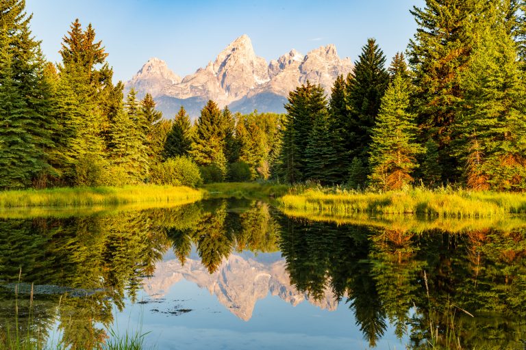 Grand Teton National Park
Jagged Teton peaks rising straight out of Jackson Hole, with glacial lakes, the Snake River, moose and the Teton Crest Trail.
-
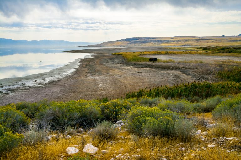 Antelope Island State Park
The largest island in Great Salt Lake: free-ranging bison and pronghorn on open grassland, 45 miles (72 km) of trail and wide views over the lake.
-
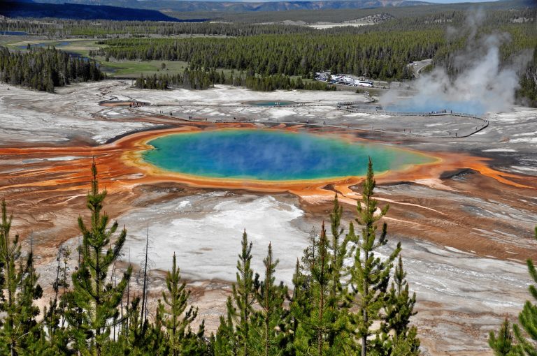 Yellowstone National Park
The world's first national park, with Old Faithful, the Grand Canyon of the Yellowstone, and bison and wolves in the Lamar Valley.
-
 Timpanogos Cave National Monument
Three linked limestone caves high on a canyon wall near Salt Lake City, reached by a steep paved trail and a ranger-led tour.
Straight-line distance between park centres. Road distance is usually longer.
Looking for somewhere closer to home?
See every park and monument within a day’s drive of where you are.