

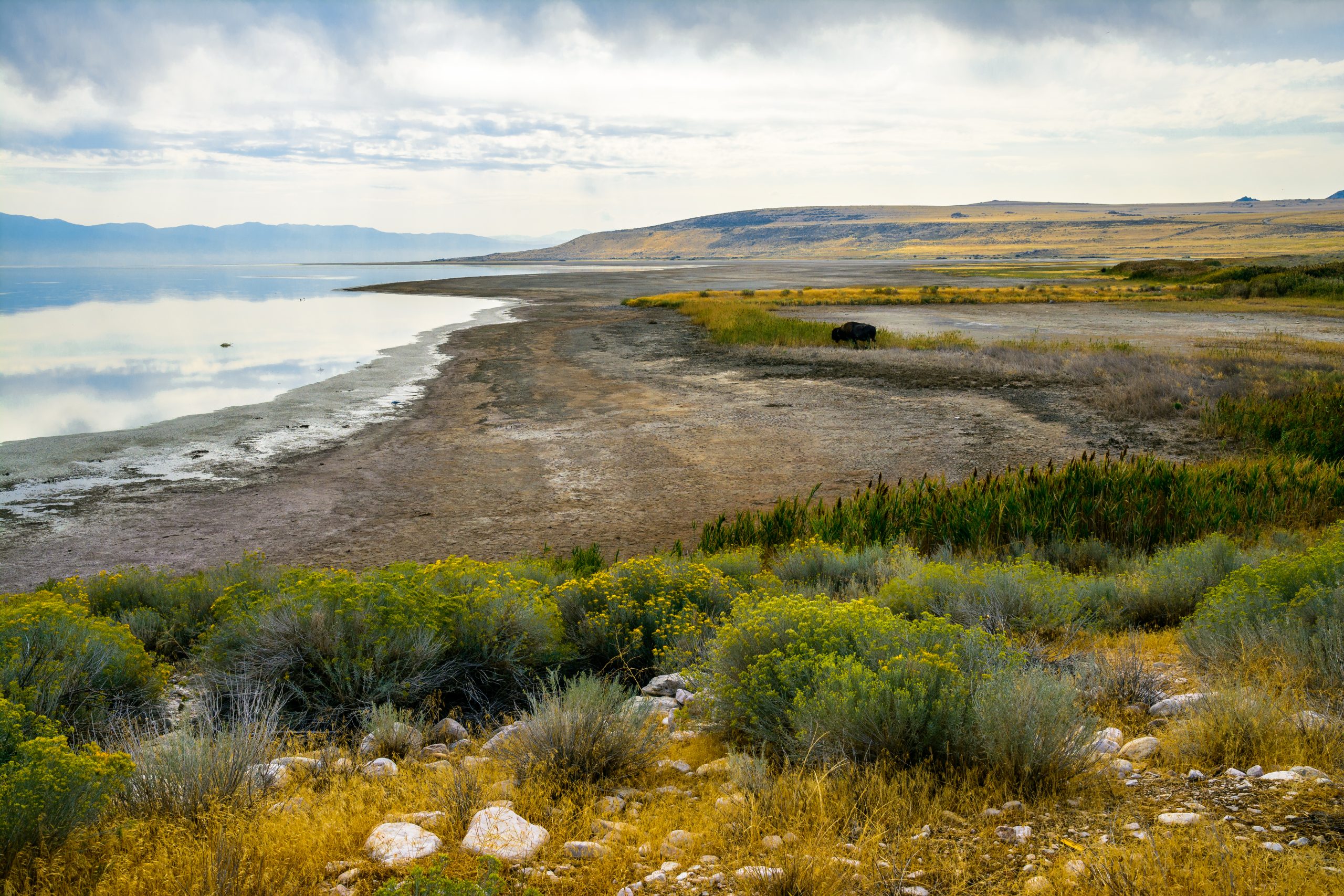
Antelope Island State Park
Fast facts
- Size: about 28,000 acres (109 km²), the largest island in Great Salt Lake
- High point: Frary Peak, about 6,600 feet (2,010 m)
- Wildlife: a bison herd dating from 1893, pronghorn, bighorn sheep, mule deer and millions of migrating birds
- Trails: more than 45 miles (72 km) for hiking, biking and horseback riding
- Camping: 64 sites at Bridger Bay, 8 at White Rock Bay, 5 walk-in tent sites at Ladyfinger and backcountry sites at Split Rock Bay
- Gateway: Syracuse and Salt Lake City
- Managed by: Utah State Parks
The landscape
Antelope Island is a mountain ridge standing in Great Salt Lake, 15 miles (24 km) long, with dry grassland sloping from a rocky spine down to salt flats and beaches. Some of the rock at its core is among the oldest in the United States. There are no trees to speak of, so the views are open in every direction: across the lake to the Wasatch Range and Salt Lake City to the east, and to bare desert ranges to the west. When the lake is low the island is joined to the mainland by mudflats.
The island is best known for its animals. A herd of bison, started with a handful of animals in 1893, now numbers in the hundreds and wanders freely, along with pronghorn, bighorn sheep, mule deer and coyotes. The lake’s brine shrimp and flies feed millions of migrating shorebirds and waterfowl. The Fielding Garr Ranch, begun in 1848, is one of the oldest Anglo-built houses in Utah still on its original foundation. The park is a certified International Dark Sky Park.
Best time to go
Fall, winter and early spring are the comfortable seasons. In late October riders gather the bison in the annual roundup, which the public can watch. From roughly April to early June, tiny biting gnats hatch in huge numbers and can make hiking miserable; repellent does little against them, and a head net is the only real protection. Summer is hot, shadeless and buggy near the shore. Winter is cold and quiet, with snow on Frary Peak and bison easy to see against it.
Getting there and around
Pay the entry fee at the gate in Syracuse and drive the causeway across Farmington Bay. On the island, the road forks: north to the Visitor Center, Bridger Bay beach and campground, and south for 11 miles (18 km) along the east shore to the Fielding Garr Ranch. Trailheads for Frary Peak, White Rock Bay and the others are signed from these roads. There is no fuel on the island and only a small seasonal grill, so bring what you need.
Things to do
The best-known hike is Frary Peak, the island’s summit, about 7 miles (11 km) round trip with roughly 2,100 feet (640 m) of climbing and a view of the whole lake; it is for hikers only. Shorter walks include Buffalo Point, a half-mile (800 m) climb to a rocky knoll above Bridger Bay, and the Lakeside Trail between Bridger Bay and White Rock Bay. The White Rock Bay and Split Rock loops cross the open west side, where bison are often close to the trail. Most trails other than Frary Peak and Dooly Knob are open to mountain bikes and horses.
Drive the east shore road to the Fielding Garr Ranch, where the house, barns and springs are open daily, and watch for bison and pronghorn on the way. At Bridger Bay you can wade out and float in the salt water, with showers on the beach to rinse off. Birdwatching is excellent along the causeway in spring and fall, and on clear nights the park holds star parties.
Staying safe
Bison look slow and are not. They can run three times as fast as a person, and people who walk up for a photograph are gored and thrown here. Stay at least 100 yards (90 m) away, never get between animals, and if bison are on or near the trail, wait or go around at a distance, even if that means turning back. Keep dogs leashed and close.
There is no shade and no water on any trail. In warm weather carry at least a quart (1 litre) per person for every hour, start early and wear a hat. Get off Frary Peak and the ridges if a thunderstorm builds. In gnat season, cover up and bring a head net, or pick another day. Stay on the mapped trails: cross-country travel is prohibited, and part of the west side is closed from March 10 to May 20 for lambing and calving.
Know before you go
Dogs are welcome on a leash on every trail and in the campgrounds. White Rock Bay and Ladyfinger campgrounds have no water and pit toilets only, and fires are not allowed at Ladyfinger. Egg Island and White Rock Island are closed all year for nesting birds. This page is a general overview, not a live conditions report, so check insect conditions, fire restrictions and trail closures with Utah State Parks before you go.
- Coordinates
- 40.9587, -112.2254
- Magnetic declination
- 10.8° E (2026)
Set this declination on your compass, then align it to the map's north lines; it is the angle between true north and magnetic north, refreshed each year.
How declination works, and how to navigate with a map and compass
A spread of the park’s main places shows straight away, and the rest appear as you zoom in. You can also search above, or pick any place from the lists below, and the map will go to it. Places in bold, marked , have a short description.
Getting there 2
Park entrance
Visitor centre
On the trail 17
Trailheads
Campgrounds
Picnic sites
Sights 20
Viewpoint
Beaches
Heritage site
Islands
Peaks 13
Map data comes from third-party sources and may be incomplete or out of date, so carry a current official map (terms).
Looking for one of these closer to home?Destinations near me by trip type →
- Best seasons
- Fall, Winter, Early spring
- Difficulty
- Easy to strenuous
- Access / trailheads
- From Interstate 15 at Syracuse, about 25 miles (40 km) north of Salt Lake City, take Antelope Drive west to the entrance and cross the 7-mile (11 km) causeway to the island. Rideshare services do not pick up from the park.
- Water
- Drinking water at the Visitor Center, Bridger Bay Beach and the dump station only. None on the trails or at White Rock Bay and Ladyfinger campgrounds; the lake is far saltier than the sea.
- Cell / satellite coverage
- Generally good on the north end and east side facing the city; weaker on the west side and in the southern backcountry.
- Nearest ranger / SAR / emergency
- Emergencies: 911. Park office: 801-725-9263.
- Permits & regulations
- An entry fee is charged per vehicle at the causeway. Campsites should be reserved at least two days ahead through Utah State Parks. Travel off the trails is not allowed. The park is open from 6 a.m. to 10 p.m.
- Leave No Trace
- Stay on the trails, keep at least 100 yards (90 m) from bison and other wildlife, keep dogs leashed, keep lights low for the dark sky, and pack out all trash.
January
- Below-freezing nights
February
- Below-freezing nights
March
April
May
June
July
- Hot days
August
- Hot days
September
October This month
November
December
- Below-freezing nights
What to bring depends on your trip: how long you’re out, where you sleep, and how far you go from the road. The planner builds the list for yours.
Plan a trip here →Averages for 1991–2020 from NOAA U.S. Climate Normals, measured at the Salt Lake City International Airport station, 23 miles (37 km)37 km (23 miles) away at 4,227 feet (1,288 m)1,288 m (4,227 feet). Higher trails run colder, by about 3.5°F for every 1,000 ft (2°C per 300 m)2°C for every 300 m (3.5°F per 1,000 ft) of climb. Daylight runs from sunrise to sunset on the 15th, on the park’s own clock, for a level horizon. Valleys and slopes facing away from the sun are in shade earlier.
Nearby parks
-
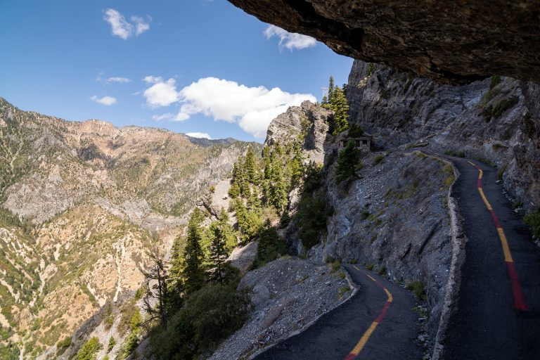 Timpanogos Cave National Monument
Three linked limestone caves high on a canyon wall near Salt Lake City, reached by a steep paved trail and a ranger-led tour.
-
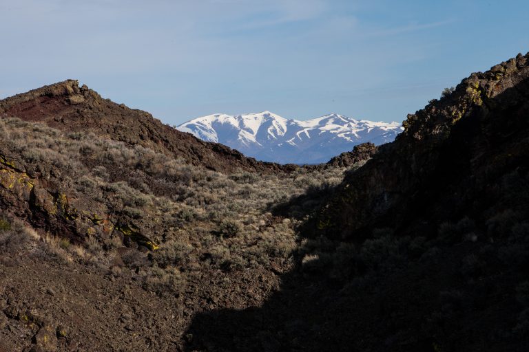 Craters of the Moon National Monument and Preserve
Lava fields, cinder cones and lava tube caves along Idaho’s Great Rift, with a trackless wilderness for overnight trips.
-
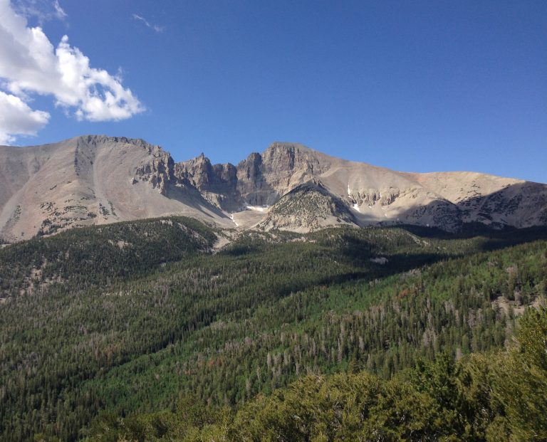 Great Basin National Park
Wheeler Peak, 13,063 feet (3,982 m), ancient bristlecone pines and Lehman Caves in remote eastern Nevada, under very dark skies.
-
 Dinosaur National Monument
A wall of dinosaur bones, the Green and Yampa river canyons and multi-day float trips on the Colorado-Utah line.
Straight-line distance between park centres. Road distance is usually longer.
Looking for somewhere closer to home?
See every park and monument within a day’s drive of where you are.