

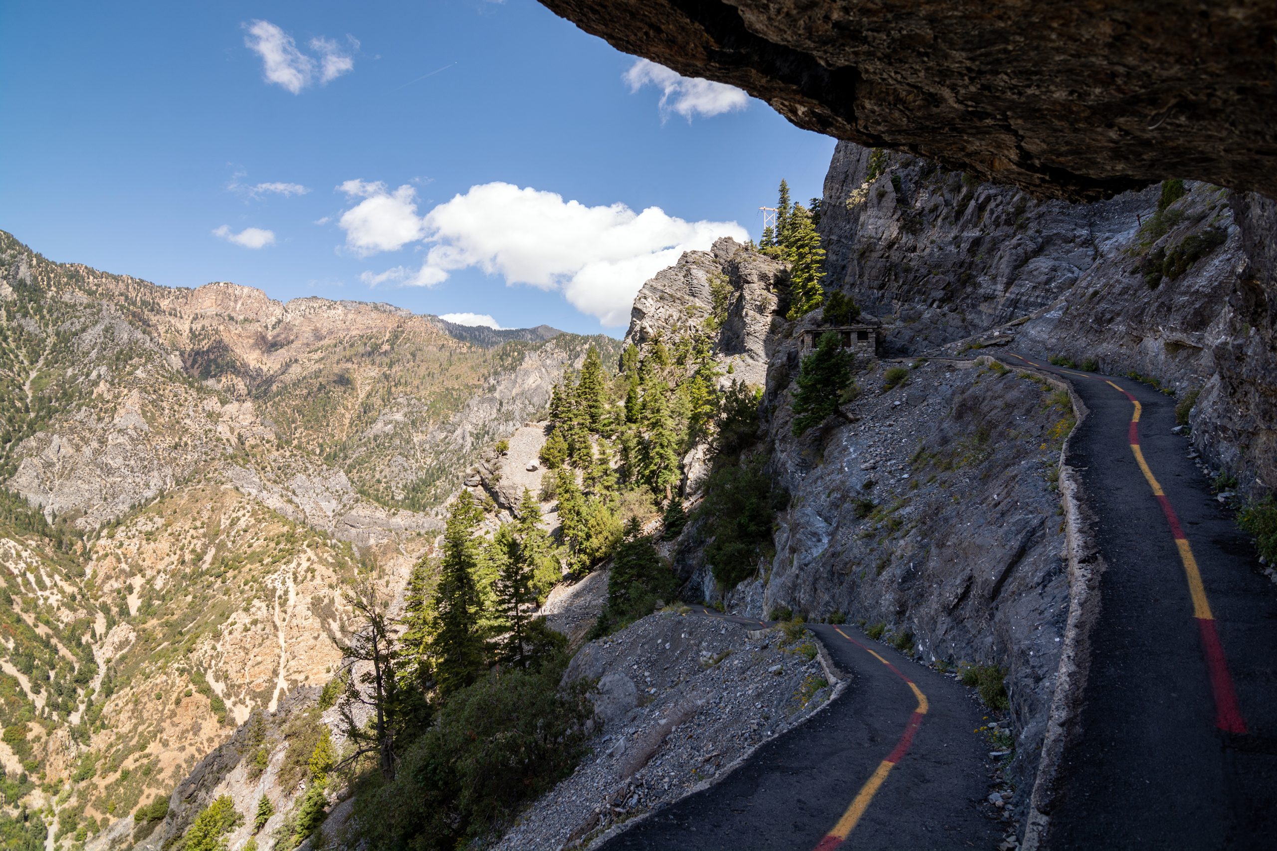
Timpanogos Cave National Monument
Timpanogos Cave is a chain of three limestone caves high on the wall of American Fork Canyon, reached by a steep paved trail that climbs about 1,100 feet (335 m) above the river. A ranger-led tour winds through rooms decorated with helictites and other formations.
Fast facts
- Established: 1922
- Size: about 250 acres (101 ha)
- Caves: Hansen, Middle and Timpanogos caves, linked by tunnels
- Cave trail: 1.5 miles (2.4 km) each way with about 1,100 feet (335 m) of climbing
- Gateways: American Fork, Alpine and Salt Lake City
- Managed by: the National Park Service, within Uinta-Wasatch-Cache National Forest
The landscape
American Fork Canyon cuts deep into the Wasatch Range below Mount Timpanogos. The caves formed in limestone along a fault high on the canyon wall, and they are known for helictites, formations that twist in every direction instead of hanging straight down. Inside, it stays at about 43-48°F (6-9°C) all year.
Best time to go
The caves are open from about late May to early October. Summer mornings are best for the climb, which is hot and sunny in the afternoon. Fall colours in the canyon are good in late September.
Getting there and around
From I-15, take exit 284 and drive about 10 miles (16 km) east on Highway 92 into American Fork Canyon. The visitor center and trailhead are on the canyon floor. A Forest Service recreation fee applies to the canyon road.
Things to do
Book a cave tour, then walk the paved Cave Trail up the canyon wall; allow about three hours in total, including the tour of about an hour inside. The Canyon Nature Trail along the river is an easy walk near the visitor center.
The cave tour itself is easy once you reach it. For bigger hikes, trails to Mount Timpanogos, one of the highest peaks in the Wasatch, start higher up the canyon in the national forest.
Staying safe
The Cave Trail is steep and exposed to sun and rockfall; carry water and do not linger under the cliffs. It closes in lightning and high wind. Bring a jacket for the cold cave. Children must stay on the trail, which has drop-offs.
Know before you go
Tickets are required for cave tours, which charge a fee and often sell out, so reserve ahead on Recreation.gov. This page is a general overview, not a live conditions report, so confirm the season and tour availability with the National Park Service before you go.
- Coordinates
- 40.4404, -111.7094
- Magnetic declination
- 10.6° E (2026)
Set this declination on your compass, then align it to the map's north lines; it is the angle between true north and magnetic north, refreshed each year.
How declination works, and how to navigate with a map and compass
A spread of the park’s main places shows straight away, and the rest appear as you zoom in. You can also search above, or pick any place from the lists below, and the map will go to it. Places in bold, marked , have a short description.
Getting there 2
Park entrance
Visitor centre
On the trail 3
Route
Picnic sites
Sights 2
Points of interest
Map data comes from third-party sources and may be incomplete or out of date, so carry a current official map (terms).
Looking for one of these closer to home?Destinations near me by trip type →
- Best seasons
- Summer, Early fall
- Difficulty
- Moderate
- Access / trailheads
- I-15 exit 284, then about 10 miles (16 km) east on Highway 92 into American Fork Canyon.
- Water
- At the visitor center; carry water on the trail.
- Cell / satellite coverage
- Patchy in the canyon.
- Nearest ranger / SAR / emergency
- Emergencies: 911. Visitor center: 801-756-5239.
- Permits & regulations
- Cave tour tickets required (Recreation.gov), often sold out. Forest Service recreation fee for American Fork Canyon.
- Leave No Trace
- Stay on the paved trail, never touch cave formations, and pack out all waste.
January
- Below-freezing nights
February
- Below-freezing nights
March
- Below-freezing nights
April
May
June
July
August
September
October This month
November
- Below-freezing nights
December
- Below-freezing nights
What to bring depends on your trip: how long you’re out, where you sleep, and how far you go from the road. The planner builds the list for yours.
Plan a trip here →Averages for 1991–2020 from NOAA U.S. Climate Normals, measured at the Timpanogos Cave station at 5,510 feet (1,679 m)1,679 m (5,510 feet). Higher trails run colder, by about 3.5°F for every 1,000 ft (2°C per 300 m)2°C for every 300 m (3.5°F per 1,000 ft) of climb. Daylight runs from sunrise to sunset on the 15th, on the park’s own clock, for a level horizon. Valleys and slopes facing away from the sun are in shade earlier.
Nearby parks
-
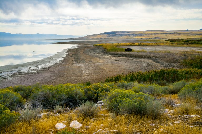 Antelope Island State Park
The largest island in Great Salt Lake: free-ranging bison and pronghorn on open grassland, 45 miles (72 km) of trail and wide views over the lake.
-
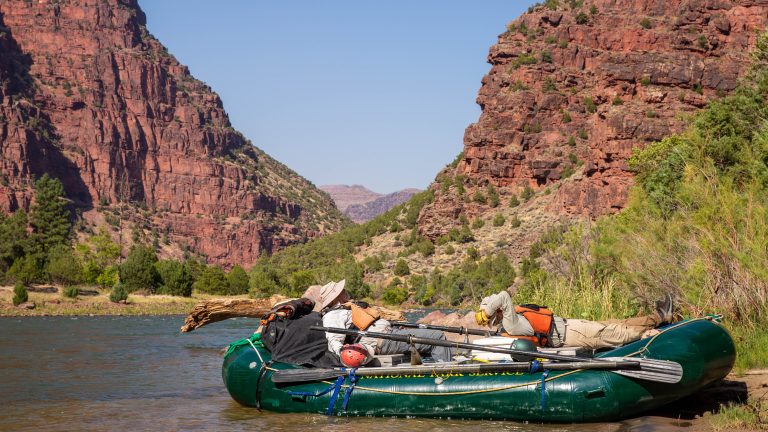 Dinosaur National Monument
A wall of dinosaur bones, the Green and Yampa river canyons and multi-day float trips on the Colorado-Utah line.
-
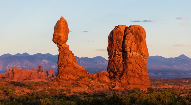 Arches National Park
More than 2,000 natural stone arches in red-rock desert just north of Moab, from Delicate Arch to the maze of the Fiery Furnace.
-
 Capitol Reef National Park
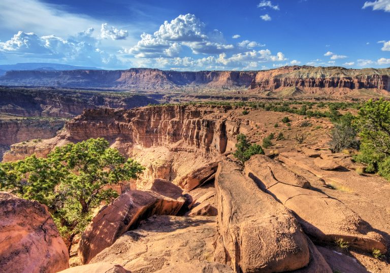
The Waterpocket Fold, a 100-mile (160 km) wrinkle in Utah's crust, with slot canyons and Fruita's orchards.
Straight-line distance between park centres. Road distance is usually longer.
Looking for somewhere closer to home?
See every park and monument within a day’s drive of where you are.