

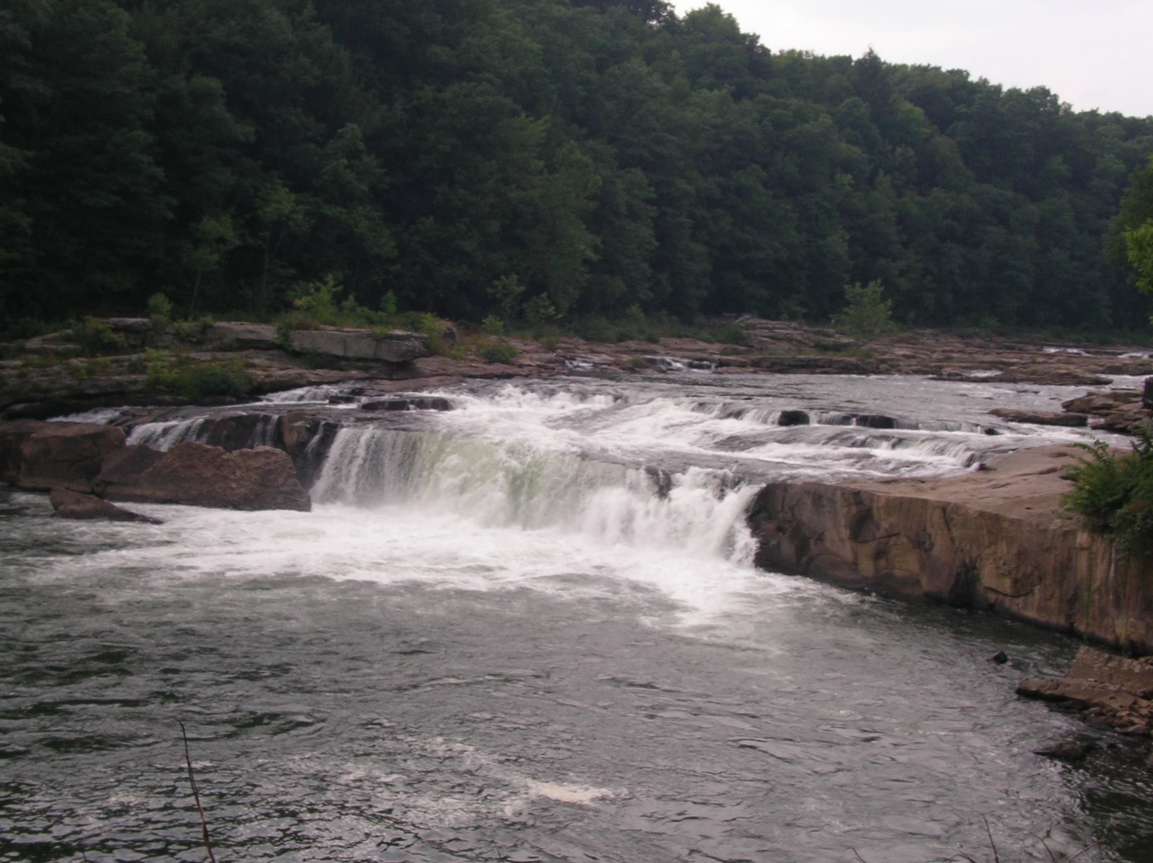
Ohiopyle State Park
Fast facts
- Size: about 20,500 acres (83 km²)
- River: the Youghiogheny (the “Yough”), with some of the best whitewater in the East
- Trail links: the southern end of the 70-mile (113 km) Laurel Highlands Hiking Trail and the Great Allegheny Passage
- Gateway: the village of Ohiopyle
- Managed by: Pennsylvania Department of Conservation and Natural Resources
The landscape
Ohiopyle sits on the southern end of Laurel Ridge, where the Youghiogheny River cuts a deep, forested gorge. Ohiopyle Falls drops across the river in the village, and side streams such as Meadow Run and Cucumber Run form waterslides and falls. The Ferncliff Peninsula holds rare plants. Deer, black bears and timber rattlesnakes live here.
Best time to go
Spring brings high water and wildflowers. Summer is peak rafting and very busy. Fall colour peaks in mid-October. Winter is quiet.
Getting there and around
The village of Ohiopyle is the hub, with outfitters, the falls and trailheads. The Great Allegheny Passage runs through the village along the river, and the Laurel Highlands Trail starts nearby.
Things to do
Rafters and kayakers run the Lower Yough, with guided trips for beginners and harder whitewater upstream. Backpackers start the Laurel Highlands Trail, with reserved shelters along the ridge. Cyclists ride the Great Allegheny Passage, and day hikers explore Ferncliff and Cucumber Falls.
Staying safe
The Youghiogheny is powerful and has claimed many lives; boat only within your skills, wear a life jacket, and never swim near the falls or in fast water. Rocks at the falls and waterslides are slick. Watch for rattlesnakes on rocky trails, and leave a trip plan for the Laurel Highlands Trail.
Know before you go
This page is a general overview, not a live conditions report, so confirm river levels, permits and reservations with Pennsylvania State Parks before you go.
- Coordinates
- 39.8672, -79.4630
- Magnetic declination
- 9.5° W (2026)
Set this declination on your compass, then align it to the map's north lines; it is the angle between true north and magnetic north, refreshed each year.
How declination works, and how to navigate with a map and compass
A spread of the park’s main places shows straight away, and the rest appear as you zoom in. You can also search above, or pick any place from the lists below, and the map will go to it. Places in bold, marked , have a short description.
On the trail 4
Route
Campground
Picnic sites
Sights 10
Viewpoint
Waterfalls
Points of interest
Peaks
Map data comes from third-party sources and may be incomplete or out of date, so carry a current official map (terms).
Looking for one of these closer to home?Destinations near me by trip type →
- Best seasons
- Spring, Summer, Fall (foliage)
- Difficulty
- Easy to strenuous
- Access / trailheads
- The village of Ohiopyle on Route 381, south of Pittsburgh in Fayette County.
- Water
- Water at developed areas; treat stream water on the trail.
- Cell / satellite coverage
- Fair in the village, patchy in the gorge.
- Nearest ranger / SAR / emergency
- Emergencies: 911, and contact a park employee. Park office: 724-329-8591.
- Permits & regulations
- Launch permits are required for private boaters on the Lower Yough. Laurel Highlands Hiking Trail shelters and campsites must be reserved (888-727-2757).
- Leave No Trace
- Stay on trails, camp only at reserved shelters and sites, and pack out all waste.
January
- Below-freezing nights
February
- Below-freezing nights
March
- Below-freezing nights
April
May
June
July
August
September
October This month
November
- Below-freezing nights
December
- Below-freezing nights
What to bring depends on your trip: how long you’re out, where you sleep, and how far you go from the road. The planner builds the list for yours.
Plan a trip here →Averages for 1991–2020 from NOAA U.S. Climate Normals, measured at the Chalk Hill station, 7 miles (11 km)11 km (7 miles) away at 1,980 feet (604 m)604 m (1,980 feet). Higher trails run colder, by about 3.5°F for every 1,000 ft (2°C per 300 m)2°C for every 300 m (3.5°F per 1,000 ft) of climb. Daylight runs from sunrise to sunset on the 15th, on the park’s own clock, for a level horizon. Valleys and slopes facing away from the sun are in shade earlier.
Nearby parks
-
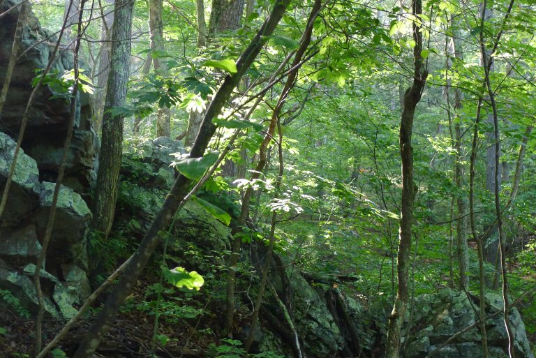 Green Ridge State Forest
Maryland's largest block of public land: 49,000 acres (200 km²) of forest above the Potomac, with a long backpacking trail.
-
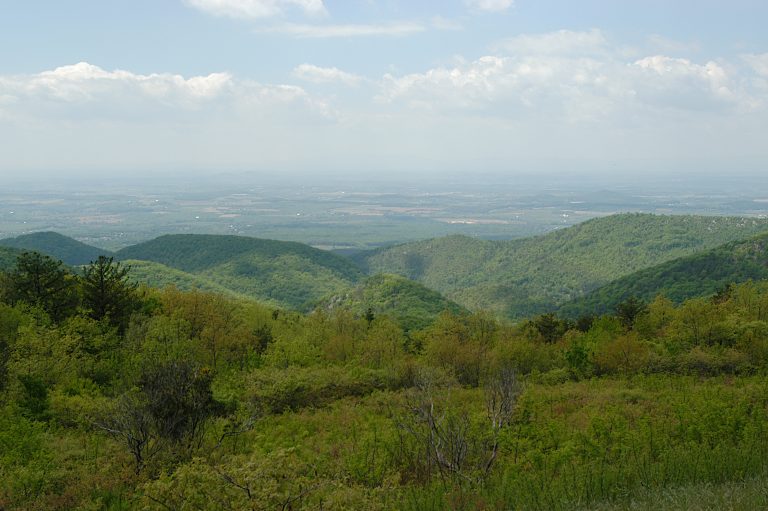 Shenandoah National Park
Virginia's Blue Ridge, with Skyline Drive along the crest, waterfalls, Old Rag and more than 100 miles (160 km) of the Appalachian Trail.
-
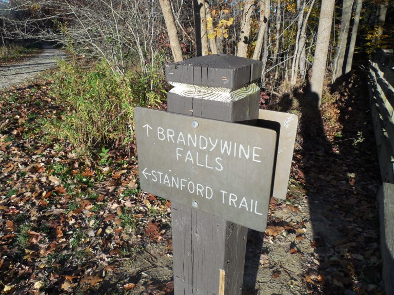 Cuyahoga Valley National Park
A forested river valley between Cleveland and Akron, with Brandywine Falls, sandstone ledges and the Towpath Trail.
-
 New River Gorge National Park
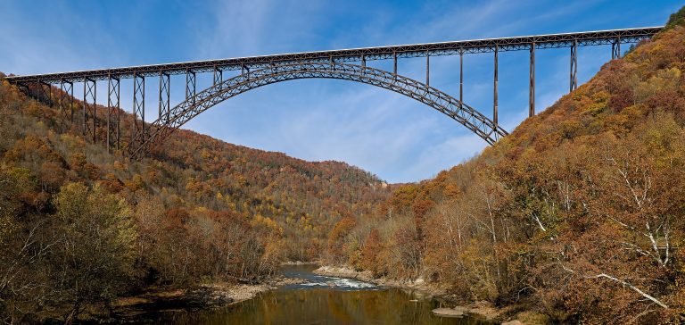
A deep river gorge in West Virginia with big whitewater, thousands of sandstone climbing routes and the New River Gorge Bridge.
Straight-line distance between park centres. Road distance is usually longer.
Looking for somewhere closer to home?
See every park and monument within a day’s drive of where you are.