

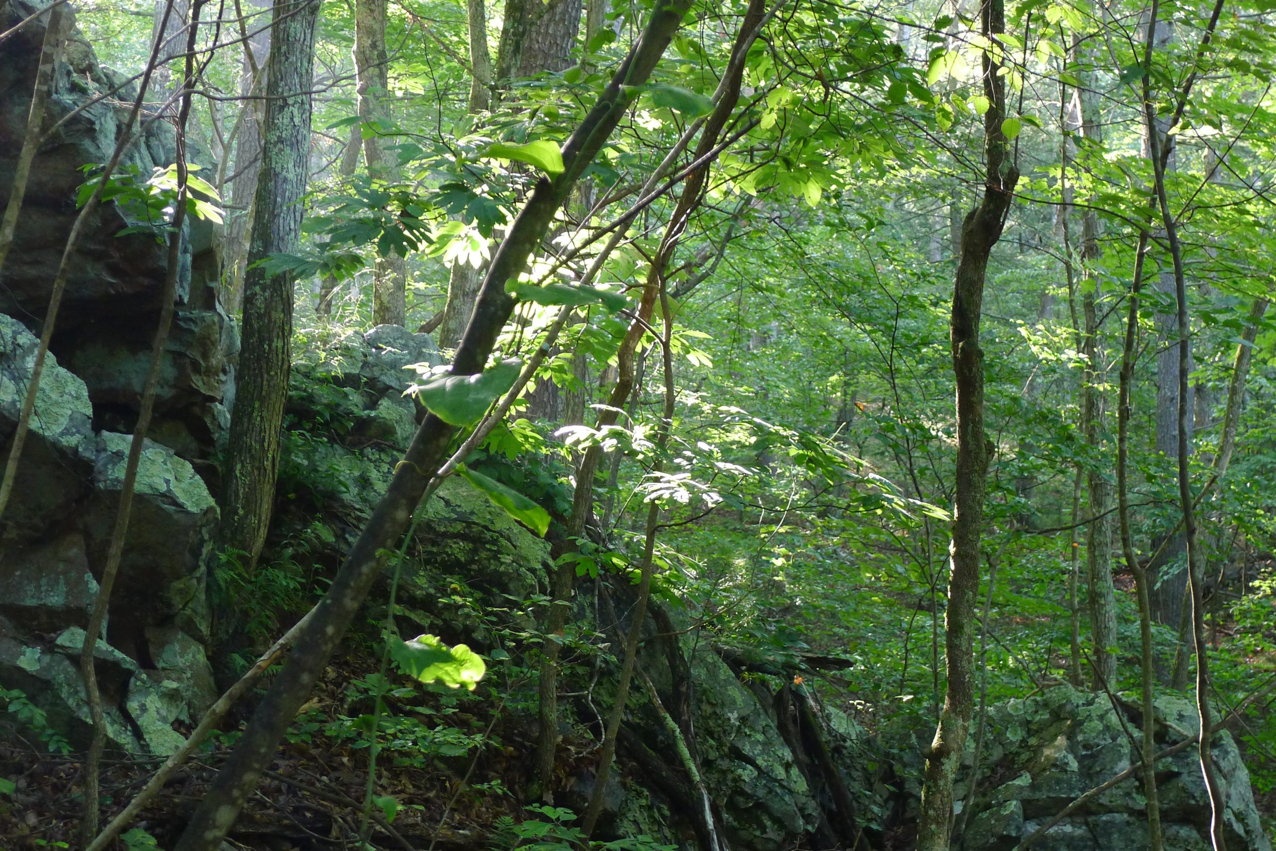
Green Ridge State Forest
Fast facts
- Size: 49,012 acres (198 km²), the largest contiguous block of public land in Maryland
- Setting: the Ridge and Valley province, between Town Creek, Sideling Hill Creek and the Potomac River
- Elevation: 500 to 2,000 feet (150 to 610 m)
- Gateway: Flintstone and Cumberland
- Managed by: Maryland Forest Service
The landscape
Green Ridge is a long run of forested ridges and valleys in western Maryland, dropping to the Potomac River and the C&O Canal. It is the driest state forest in Maryland, averaging about 36 inches (910 mm) of rain a year, with oak forest and shale barrens. The land carries history from 19th-century timber and mining ventures. Deer, wild turkeys, black bears and timber rattlesnakes live here.
Best time to go
Spring and fall are best for hiking, with colour in late October. Summer is warm and dry. Hunting seasons run through fall and winter, when blaze orange is essential.
Getting there and around
Headquarters is just off Interstate 68 east of Cumberland. Gravel roads lead through the forest to primitive campsites, trailheads and overlooks.
Things to do
The Green Ridge Hiking Trail runs the length of the forest for backpackers, with side loops. Primitive campsites along the roads suit car campers. Mountain bikers ride the trail network, and the Potomac and C&O Canal towpath border the forest.
Staying safe
Wear blaze orange in hunting season. Check for ticks. Water is limited, so carry plenty. Watch for timber rattlesnakes on rocky slopes. After storms, streams rise fast and roads can wash out; check with headquarters for closures.
Know before you go
Camping permits are required, and payment at the kiosk is cash or check only. This page is a general overview, not a live conditions report, so confirm road and campsite status with the Maryland Forest Service before you go.
- Coordinates
- 39.6242, -78.4546
- Magnetic declination
- 10.0° W (2026)
Set this declination on your compass, then align it to the map's north lines; it is the angle between true north and magnetic north, refreshed each year.
How declination works, and how to navigate with a map and compass
A spread of the park’s main places shows straight away, and the rest appear as you zoom in. You can also search above, or pick any place from the lists below, and the map will go to it. Places in bold, marked , have a short description.
Getting there 1
Ranger station
On the trail 14
Trailheads
Campgrounds
Sights 15
Viewpoints
Lakes
Peaks
Map data comes from third-party sources and may be incomplete or out of date, so carry a current official map (terms).
Looking for one of these closer to home?Destinations near me by trip type →
- Best seasons
- Spring, Fall (foliage), Winter
- Difficulty
- Easy to moderate
- Access / trailheads
- Headquarters at 28700 Headquarters Drive NE, Flintstone, off Interstate 68 in eastern Allegany County.
- Water
- Limited; the forest is the driest in Maryland. Carry water and treat any stream water.
- Cell / satellite coverage
- Patchy in the hollows.
- Nearest ranger / SAR / emergency
- Emergencies: 911. Headquarters: 301-478-3124.
- Permits & regulations
- Primitive camping needs a permit, bought at headquarters or by self-registration at the kiosk (cash or check).
- Leave No Trace
- Camp only at designated primitive sites, wear blaze orange in hunting season, and pack out all waste.
January
- Below-freezing nights
February
- Below-freezing nights
March
- Below-freezing nights
April
May
June
July
August
September
October This month
November
- Below-freezing nights
December
- Below-freezing nights
What to bring depends on your trip: how long you’re out, where you sleep, and how far you go from the road. The planner builds the list for yours.
Plan a trip here →Averages for 1991–2020 from NOAA U.S. Climate Normals, measured at the Cacapon St Park #2 station, 12 miles (19 km)19 km (12 miles) away at 958 feet (292 m)292 m (958 feet). Higher trails run colder, by about 3.5°F for every 1,000 ft (2°C per 300 m)2°C for every 300 m (3.5°F per 1,000 ft) of climb. Daylight runs from sunrise to sunset on the 15th, on the park’s own clock, for a level horizon. Valleys and slopes facing away from the sun are in shade earlier.
Nearby parks
-
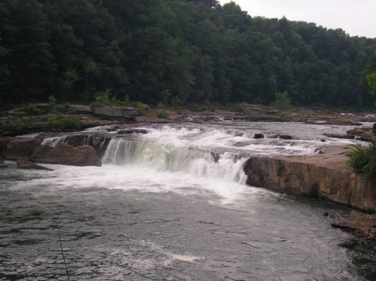 Ohiopyle State Park
Whitewater in the Youghiogheny gorge, the start of the 70-mile (113 km) Laurel Highlands Trail and the Great Allegheny Passage.
-
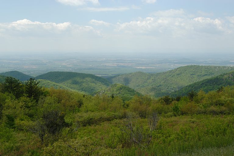 Shenandoah National Park
Virginia's Blue Ridge, with Skyline Drive along the crest, waterfalls, Old Rag and more than 100 miles (160 km) of the Appalachian Trail.
-
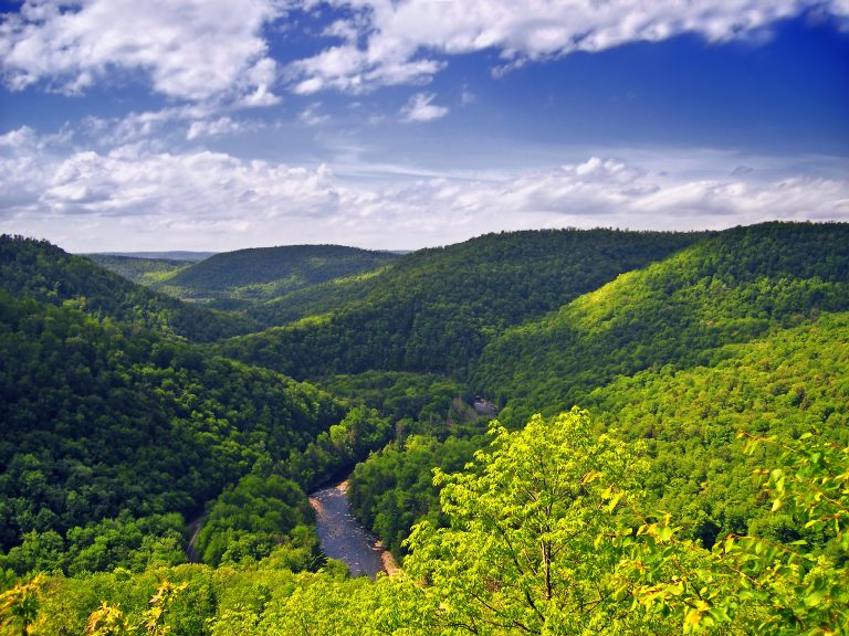 Worlds End State Park
A deep canyon on Loyalsock Creek with overlooks, rock gardens and the rugged Loyalsock Trail.
-
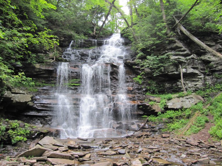 Ricketts Glen State Park
More than 20 named waterfalls in old-growth glens on one 7.2-mile (11.6 km) loop, among the best waterfall hikes in the eastern United States.
Straight-line distance between park centres. Road distance is usually longer.
Looking for somewhere closer to home?
See every park and monument within a day’s drive of where you are.