

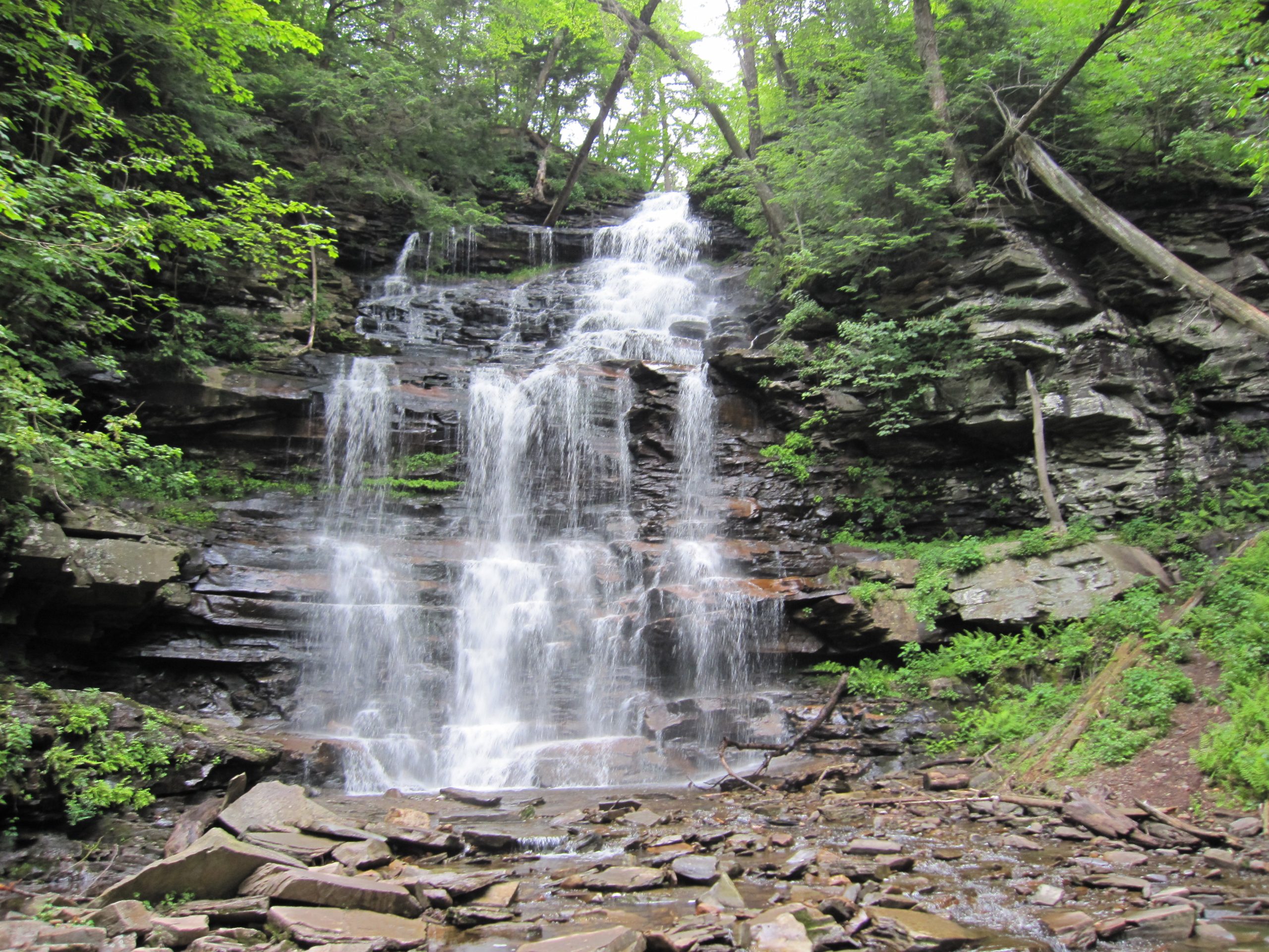
Ricketts Glen State Park
Fast facts
- Size: 13,193 acres (53.4 km²)
- Waterfalls: 22 named falls, from 11 feet (3 m) to 94-foot (29 m) Ganoga Falls
- Trails: 26 miles (42 km), including the 7.2-mile (11.6 km) Falls Trail System
- Lake Jean: 245 acres (99 ha), with a beach, boating and fishing
- Camping: a campground beside Lake Jean and 10 cabins; no backcountry camping
- Opened: 1944; the glens are a National Natural Landmark
- Managed by: Pennsylvania Department of Conservation and Natural Resources
The landscape
At Ricketts Glen the Allegheny Plateau ends in a steep front about 1,000 feet (300 m) high, and two branches of Kitchen Creek tumble down it through deep, shaded ravines called Ganoga Glen and Glen Leigh. Each branch drops over ledge after ledge of sandstone and shale, forming waterfalls of every shape, and the two meet at a spot called Waters Meet before running on through Ricketts Glen below. Ganoga Falls, at 94 feet (29 m), is the tallest.
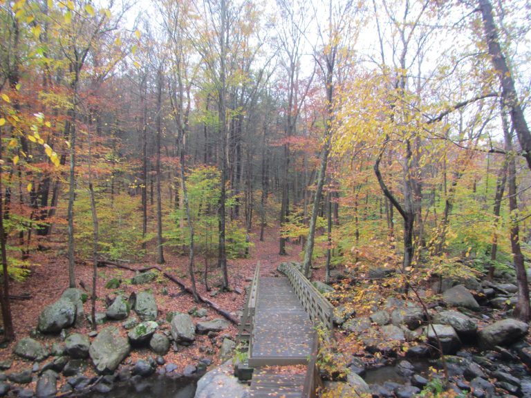
The glens were never logged. Hemlocks, pines and oaks here are several hundred years old, some more than 100 feet (30 m) tall, which is rare anywhere in the East. The land belonged to Colonel R. Bruce Ricketts, a lumberman who cleared most of his holdings and spared these ravines, and who had the trail built past the falls in the 1890s. On the plateau above are Lake Jean, second-growth forest and wetlands.
Best time to go
The falls are at their fullest in spring and after heavy rain, and still run well in most summers. Mid-October brings fall colour and the heaviest crowds; the trailhead lots fill early on fine weekends. Summer is the season for the lake, with a swimming beach and boat rentals. From late fall until spring the Falls Trail is coated in ice and closed to everyone except hikers and climbers with crampons, ice axes and rope, and the park turns to cross-country skiing, snowmobiling and ice fishing.
Getting there and around
There are two ways to reach the falls. The Lake Rose parking lot, on the plateau off Route 487 near Lake Jean, is the usual start for the upper loop. The lower lots on Route 118 lead up the creek through Ricketts Glen to Waters Meet and are the start for the full loop. Route 487 between the two is one of the steepest state roads in Pennsylvania. The park office, campground, cabins and beach are all near Lake Jean.
Things to do
The Falls Trail System is the reason to come. The upper loop, 3.2 miles (5.1 km) from the Lake Rose lot, goes down one glen and up the other, joined at the top by the Highland Trail, and passes most of the waterfalls, including Ganoga Falls. The full loop, 7.2 miles (11.6 km), adds the lower glen and the old-growth forest between Waters Meet and Route 118. Both are rated most difficult: the trail is steep, narrow, wet and built of uneven stone steps, with unfenced drops beside it.
For an easier walk, the Evergreen Trail is a 1-mile (1.6 km) loop from Route 118 through big hemlocks to Adams Falls. On the plateau, the Beach and Bear Walk trails are level strolls near Lake Jean, and longer routes such as the Cherry Run and Mountain Springs trails follow old logging grades and are open to horses. Lake Jean has a guarded beach in summer, non-powered and electric boating, and fishing.
Staying safe
People are badly hurt on the Falls Trail every year, nearly always by slipping. The rock is wet from spray and seepage, the steps are steep and irregular, and in places a fall would carry you into the gorge. The park is blunt about it: wear sturdy boots, not sneakers, sandals or water shoes, stay on the trail, and be in good physical condition. Keep children in hand and dogs on a short leash, and do not climb on the waterfalls.
Do not go onto the Falls Trail when it is icy without full ice gear and the skill to use it. Start early enough to be out well before dark, carry water, food, a map and a light, and tell someone your route, since there is no phone signal in the glens and the weather changes quickly. Black bears are common; store food in your vehicle at camp. Timber rattlesnakes live on the rocky, sunny slopes.
Know before you go
Leashed pets are allowed on the trails, though the steep, wet steps of the Falls Trail are hard going for many dogs. Much of the park is open to hunting in season, so wear orange in fall. The park has announced a phased campground renovation from 2027, so check which loops are open before booking. This page is a general overview, not a live conditions report, so read the park’s alerts for trail closures and ice with Pennsylvania DCNR before you go.
- Coordinates
- 41.3327, -76.2491
- Magnetic declination
- 11.5° W (2026)
Set this declination on your compass, then align it to the map's north lines; it is the angle between true north and magnetic north, refreshed each year.
How declination works, and how to navigate with a map and compass
A spread of the park’s main places shows straight away, and the rest appear as you zoom in. You can also search above, or pick any place from the lists below, and the map will go to it. Places in bold, marked , have a short description.
Getting there 1
Ranger station
On the trail 9
Routes
Campgrounds
Picnic site
Sights 29
Viewpoint
Waterfalls
Lakes
Beach
Heritage site
Point of interest
Peak
Map data comes from third-party sources and may be incomplete or out of date, so carry a current official map (terms).
Looking for one of these closer to home?Destinations near me by trip type →
- Best seasons
- Late spring, Summer, Fall (colour), Winter (ice hiking for the equipped)
- Difficulty
- Easy to strenuous
- Access / trailheads
- Near Benton in northeastern Pennsylvania, about 30 miles (48 km) west of Wilkes-Barre. Pennsylvania Route 118 passes the lower trailhead, and Route 487 climbs to Lake Jean and the park office; that climb is very steep, and heavy trailers should approach from the north through Dushore.
- Water
- Drinking water at the Lake Jean day-use area, campground and park office. None on the Falls Trail; do not drink from the creek untreated.
- Cell / satellite coverage
- Limited and unreliable, and absent in the glens.
- Nearest ranger / SAR / emergency
- Emergencies: 911. Park office: 570-477-5675.
- Permits & regulations
- No entry fee. Campsites and cabins are reserved through Pennsylvania State Parks. The Falls Trail is closed in winter except to properly equipped ice hikers and climbers. Hunting is allowed in season in much of the park.
- Leave No Trace
- Stay on the trail and never cut switchbacks, leave the old-growth forest untouched, keep pets leashed, and carry out all trash.
January
- Below freezing all day
February
- Below freezing all day
March
- Below-freezing nights
April
May
June
July
August
September
October This month
November
- Below-freezing nights
December
- Below-freezing nights
What to bring depends on your trip: how long you’re out, where you sleep, and how far you go from the road. The planner builds the list for yours.
Plan a trip here →Averages for 1991–2020 from NOAA U.S. Climate Normals, measured at the Laporte station, 12 miles (19 km)19 km (12 miles) away at 1,966 feet (599 m)599 m (1,966 feet). Higher trails run colder, by about 3.5°F for every 1,000 ft (2°C per 300 m)2°C for every 300 m (3.5°F per 1,000 ft) of climb. Daylight runs from sunrise to sunset on the 15th, on the park’s own clock, for a level horizon. Valleys and slopes facing away from the sun are in shade earlier.
Nearby parks
-
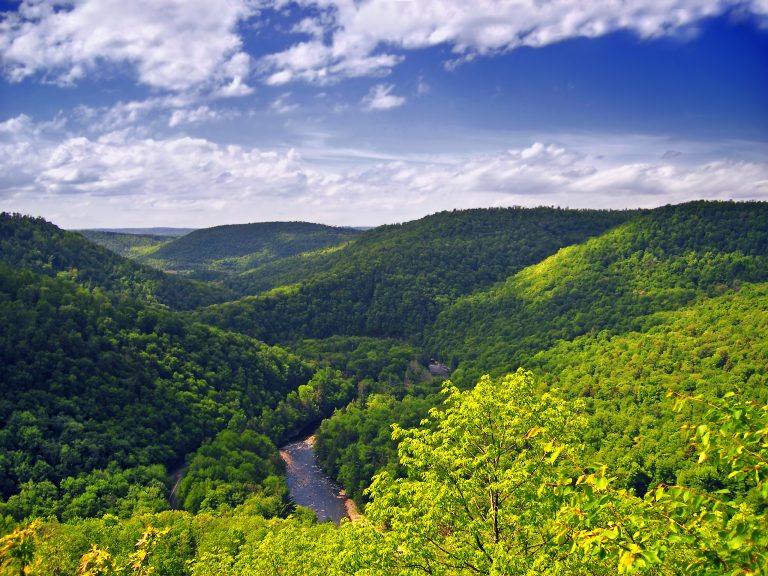 Worlds End State Park
A deep canyon on Loyalsock Creek with overlooks, rock gardens and the rugged Loyalsock Trail.
-
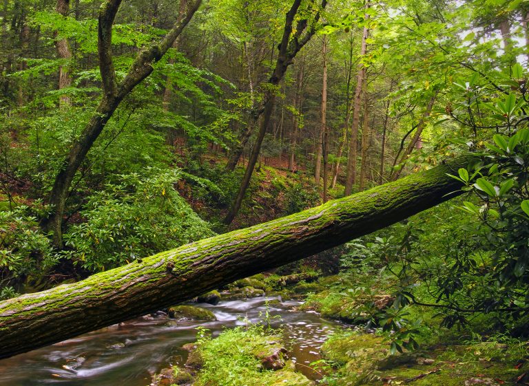 Stokes State Forest
The Kittatinny Ridge and the Appalachian Trail in the northwest corner of New Jersey, with Sunrise Mountain and Tillman Ravine.
-
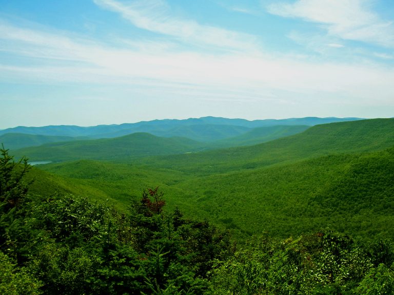 Catskill Park
Rugged hollows and 35 peaks over 3,500 feet (1,070 m) a few hours from New York City, with the Devil's Path.
-
 Harriman State Park
More than 200 miles (320 km) of trail and the Appalachian Trail an hour from Manhattan, with shelters for overnight trips.
Straight-line distance between park centres. Road distance is usually longer.
Looking for somewhere closer to home?
See every park and monument within a day’s drive of where you are.