

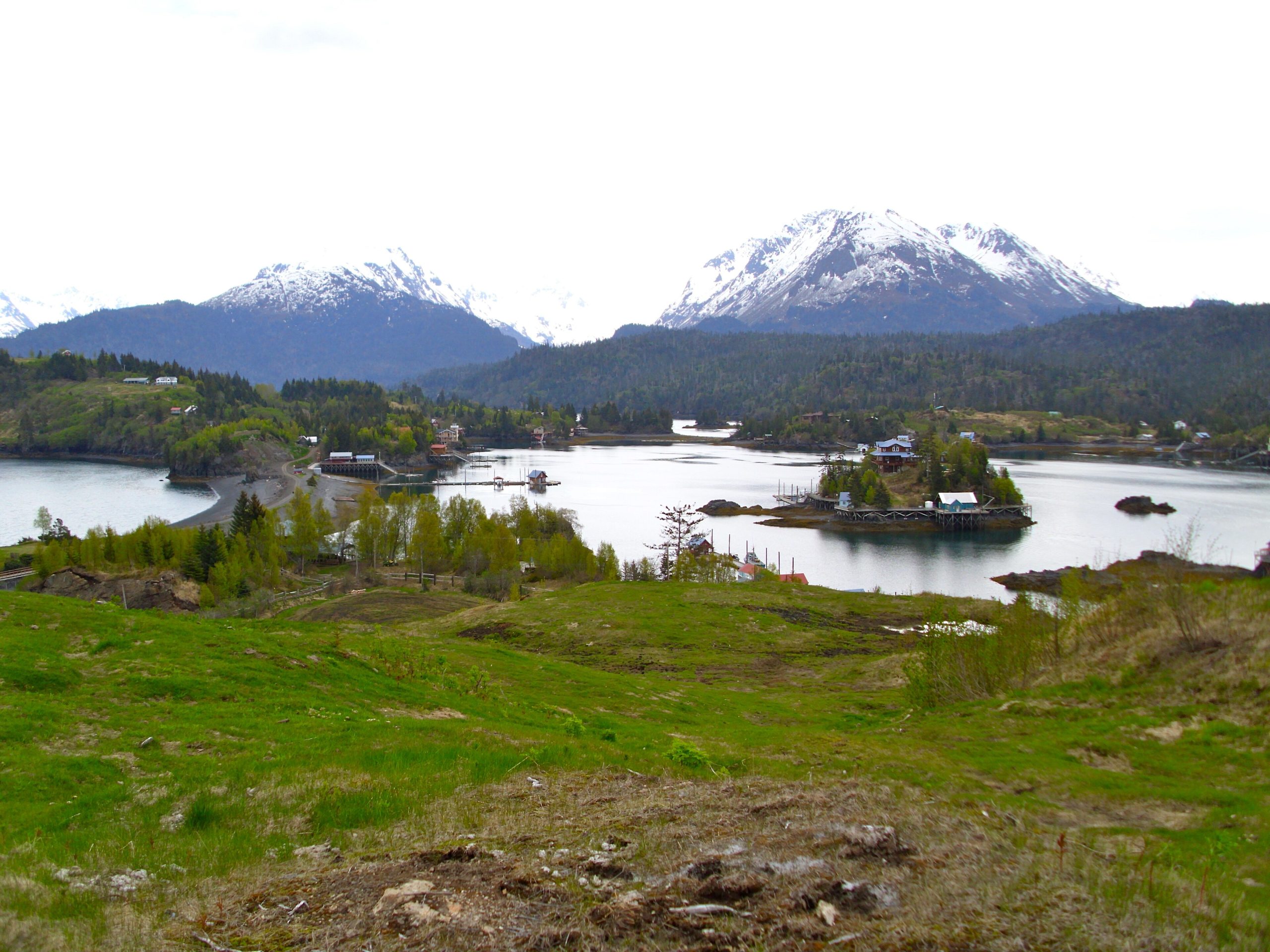
Kachemak Bay State Park
Fast facts
- Established: 1970, Alaska’s first state park
- Size: about 400,000 acres (1,600 km²), with the adjoining Kachemak Bay State Wilderness Park
- Signature trip: the trail to Grewingk Glacier and its lake
- Gateway: Homer, at the end of the Sterling Highway
- Managed by: Alaska State Parks
The landscape
Across Kachemak Bay from Homer, the Kenai Mountains rise steeply from the sea in forested ridges, glaciers and icefields. Fjords such as Tutka and Sadie cut deep into the range, and Grewingk Glacier drops into a milky lake full of icebergs. The bay teems with sea otters, seals, seabirds and, at times, whales, while brown and black bears roam the shore and forest.
Best time to go
June to September is the season for hiking and kayaking. Summer days are long and mild but often wet. Late summer brings berries, salmon and bears feeding along the streams. Winter access is limited and weather is harsh.
Getting there and around
There are no roads into the park. Water taxis from the Homer Spit cross the bay in about half an hour to trailheads and cabins. Trails link many of the drop-off points, and sea kayakers explore the coves and fjords, timing crossings for calm water.
Things to do
The Grewingk Glacier trail is the most popular day hike, an easy walk to a glacial lake. Longer trails climb to alpine ridges, lakes and viewpoints such as Poot Peak and the Alpine Ridge. Public-use cabins and yurts make comfortable bases, and kayaking the fjords is a highlight.
Staying safe
Kachemak Bay has very large tides, and the water is cold enough to be dangerous within minutes, so kayakers need cold-water gear, tide knowledge and experience. Weather on the bay can turn quickly and strand parties waiting for pick-up; carry extra food. Bears are common: carry bear spray and store food properly. Stay back from the glacier face and icebergs, which can roll. Leave a trip plan with your water taxi and someone at home.
Know before you go
Cabins and water taxis should be booked ahead. This page is a general overview, not a live conditions report, so confirm current conditions and reservations with Alaska State Parks before you go.
- Coordinates
- 59.5880, -151.2743
- Magnetic declination
- 13.5° E (2026)
Set this declination on your compass, then align it to the map's north lines; it is the angle between true north and magnetic north, refreshed each year.
How declination works, and how to navigate with a map and compass
A spread of the park’s main places shows straight away, and the rest appear as you zoom in. You can also search above, or pick any place from the lists below, and the map will go to it. Places in bold, marked , have a short description.
On the trail 13
Trailheads
Route
Campgrounds
Hut or shelter
Sights 18
Viewpoint
Waterfall
Lakes
Beaches
Point of interest
Islands
Peaks
Map data comes from third-party sources and may be incomplete or out of date, so carry a current official map (terms).
Looking for one of these closer to home?Destinations near me by trip type →
- Best seasons
- Summer (June to September)
- Difficulty
- Easy to strenuous
- Access / trailheads
- By water taxi or private boat from the Homer Spit across Kachemak Bay to trailheads such as Glacier Spit, Halibut Cove Lagoon and Tutka Bay. There is no road access.
- Water
- Streams and lakes; treat all water.
- Cell / satellite coverage
- Patchy across the bay, none in many valleys. Carry a satellite messenger or VHF radio.
- Nearest ranger / SAR / emergency
- Emergencies: 911. On the water, the U.S. Coast Guard monitors VHF channel 16.
- Permits & regulations
- Public-use cabins and yurts are reserved through Alaska State Parks. Water taxis are booked with private operators in Homer.
- Leave No Trace
- Camp at designated sites or on durable ground, store food from bears, pack out all waste, and check tide tables before camping on beaches.
January
- Below freezing all day
February
- Below-freezing nights
March
- Below-freezing nights
April
- Below-freezing nights
May
June
July
August
September
October This month
November
- Below-freezing nights
December
- Below-freezing nights
What to bring depends on your trip: how long you’re out, where you sleep, and how far you go from the road. The planner builds the list for yours.
Plan a trip here →Averages for 1991–2020 from NOAA U.S. Climate Normals, measured at the Homer Airport station, 8 miles (14 km)14 km (8 miles) away at 63 feet (19 m)19 m (63 feet). Higher trails run colder, by about 3.5°F for every 1,000 ft (2°C per 300 m)2°C for every 300 m (3.5°F per 1,000 ft) of climb. Daylight runs from sunrise to sunset on the 15th, on the park’s own clock, for a level horizon. Valleys and slopes facing away from the sun are in shade earlier.
Nearby parks
-
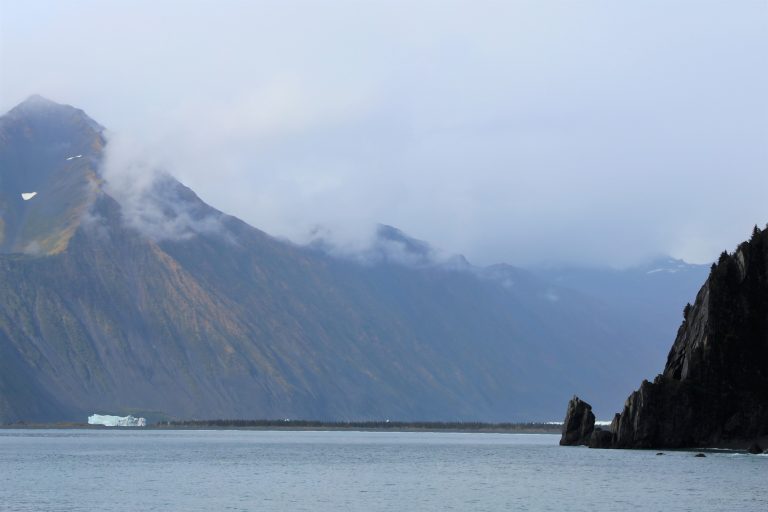 Kenai Fjords National Park
The Harding Icefield and its tidewater glaciers, by boat from Seward or on foot at Exit Glacier, with whales and puffins.
-
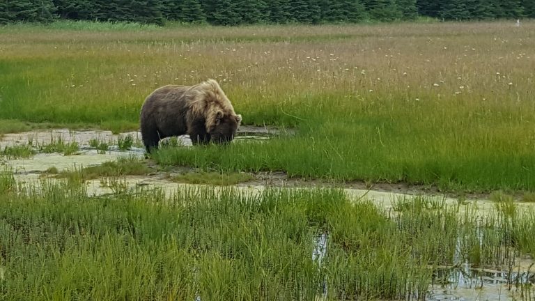 Lake Clark National Park
Volcanoes, glaciers and turquoise lakes across Cook Inlet from Anchorage, with coastal bears and Proenneke's cabin.
-
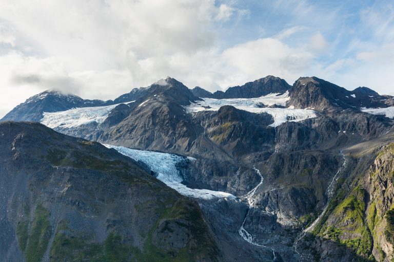 Chugach State Park
Half a million acres (2,000 km²) of mountains, glaciers and bear country on Anchorage's doorstep, from Flattop to Crow Pass.
-
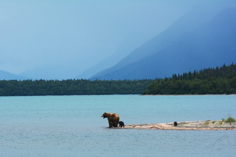 Katmai National Park
Brown bears fishing for salmon at Brooks Falls, and the Valley of Ten Thousand Smokes, on the Alaska Peninsula.
Straight-line distance between park centres. Road distance is usually longer.
Looking for somewhere closer to home?
See every park and monument within a day’s drive of where you are.