

Parc national Kuururjuaq
Fast facts
- Established: 2009
- Size: about 1,720 square miles (4,460 km²)
- Highest point: Mont D’Iberville, about 5,400 feet (1,646 m), on the border with Labrador
- River: the Koroc, about 100 miles (160 km) from the Torngat Mountains to Ungava Bay
- Gateway: Kangiqsualujjuaq
- Managed by: Nunavik Parks, run by the Kativik Regional Government (not a federal national park)
The landscape
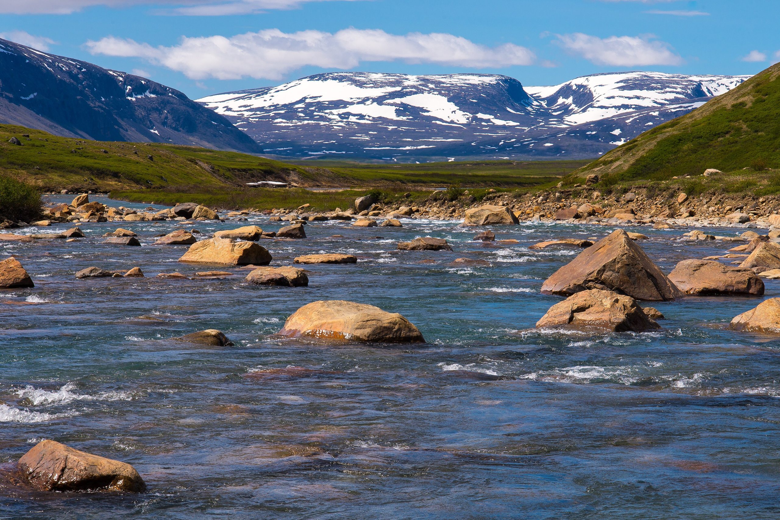
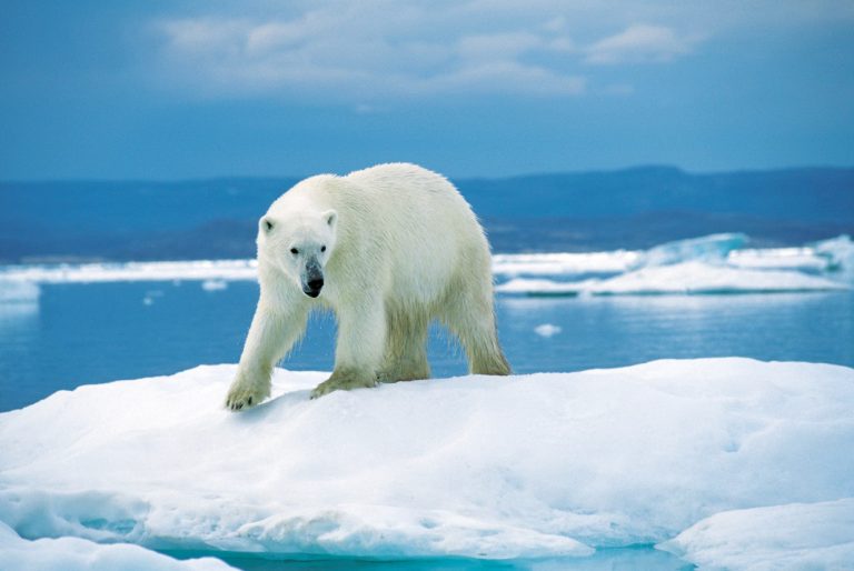
Kuururjuaq runs from the jagged Torngat Mountains on the Labrador border down the wide valley of the Koroc River to the tidal shore of Ungava Bay. The sheltered lower valley, below about 900 feet (275 m), holds boreal forest at the edge of the tundra. Waterfalls, canyons and glacial valleys mark the upper river. Caribou, black bears, Arctic char and, on occasion, polar bears live here, and belugas feed at the river mouth.
Best time to go
July and August are the season for hiking and paddling. Spring, from March to May, brings long days for skiing and snowmobile travel along ancient Inuit routes. Weather can turn severe in any month.
Getting there and around
Visitors fly to Kangiqsualujjuaq, the easternmost community in Nunavik, then travel into the park by boat, snowmobile or on foot. There are no roads, and trips are usually organised with Nunavik Parks or local guides, who arrange transport and logistics.
Things to do
Summer trips include trekking in the Torngat foothills, climbing Mont D’Iberville with a guide, and descending the Koroc River. In spring, skiers and snowmobilers follow the Koroc valley. Fishing for Arctic char and wildlife watching are highlights.
Staying safe
This is remote Arctic wilderness with no services and no cell coverage. Carry a satellite phone or messenger and gear for cold, wet and windy conditions in any season. Learn bear safety for both black and polar bears, and consider travelling with a local guide. River water is cold and fast, so dress for immersion and wear a life jacket. Tides at the coast are large.
Know before you go
Register with Nunavik Parks before you travel. This page is a general overview, not a live conditions report, so confirm registration, transport and conditions with Nunavik Parks before you go.
- Coordinates
- 58.6930, -64.7347
- Magnetic declination
- 21.2° W (2026)
Set this declination on your compass, then align it to the map's north lines; it is the angle between true north and magnetic north, refreshed each year.
How declination works, and how to navigate with a map and compass
A spread of the park’s main places shows straight away, and the rest appear as you zoom in. You can also search above, or pick any place from the lists below, and the map will go to it. Places in bold, marked , have a short description.
Sights 9
Lakes
Point of interest
Island
Peaks
Map data comes from third-party sources and may be incomplete or out of date, so carry a current official map (terms).
Looking for one of these closer to home?Destinations near me by trip type →
- Best seasons
- Summer (July to August), Spring (skiing)
- Difficulty
- Strenuous (remote Arctic)
- Access / trailheads
- By air to Kangiqsualujjuaq, the park's host village on Ungava Bay, then by boat, snowmobile or on foot. There are no roads.
- Water
- Plentiful from rivers and streams; treat all water.
- Cell / satellite coverage
- None. A satellite phone or messenger is essential.
- Nearest ranger / SAR / emergency
- Emergencies: satellite device to 911 or the Kativik Regional Police Force in Kangiqsualujjuaq. Contact Nunavik Parks before travel.
- Permits & regulations
- Register with Nunavik Parks before your trip. Guided travel is strongly recommended.
- Leave No Trace
- Camp on durable surfaces, pack out all waste, leave archaeological sites undisturbed, and keep your distance from wildlife.
January
- Below freezing all day
February
- Below freezing all day
March
- Below freezing all day
April
- Below freezing all day
May
- Below-freezing nights
June
July
August
September
October This month
- Below-freezing nights
November
- Below freezing all day
December
- Below freezing all day
What to bring depends on your trip: how long you’re out, where you sleep, and how far you go from the road. The planner builds the list for yours.
Plan a trip here →Averages for 1981–2010 from Environment Canada climate normals, measured at the Kuujjuaq Airport station, 139 miles (224 km)224 km (139 miles) away at 131 feet (40 m)40 m (131 feet). That is the nearest station with long-term records, so treat these as a regional guide. Higher trails run colder, by about 3.5°F for every 1,000 ft (2°C per 300 m)2°C for every 300 m (3.5°F per 1,000 ft) of climb. Daylight runs from sunrise to sunset on the 15th, on the park’s own clock, for a level horizon. Valleys and slopes facing away from the sun are in shade earlier.
Nearby parks
Other parks of the Canadian Arctic
-
 Katannilik Territorial Park Reserve
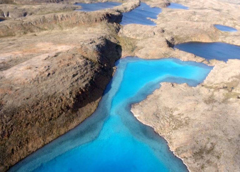
The place of waterfalls on Baffin Island: an Arctic river trip down the Soper, or a 75-mile (120 km) trail overland.
-
 Auyuittuq National Park
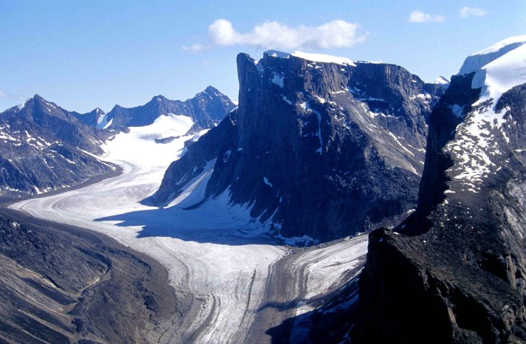
Granite walls and glaciers on Baffin Island, where Akshayuk Pass crosses the Arctic Circle below Mount Thor and Mount Asgard.
-
 Ukkusiksalik National Park
Wager Bay, an inland sea off Hudson Bay, with reversing tidal rapids, polar bears and hundreds of Inuit archaeological sites.
Straight-line distance between park centres. Road distance is usually longer.
Looking for somewhere closer to home?
See every park and monument within a day’s drive of where you are.