

Tombstone Territorial Park
Fast facts
- Origin: created through the Tr’ondëk Hwëch’in land claim agreement
- Size: about 790 square miles (2,050 km²)
- Signature peak: Tombstone Mountain, about 7,190 feet (2,192 m)
- Backcountry campgrounds: Grizzly Lake, Talus Lake and Divide Lake
- Gateway: Dawson City
- Managed by: Government of Yukon, with the Tr’ondëk Hwëch’in
The landscape
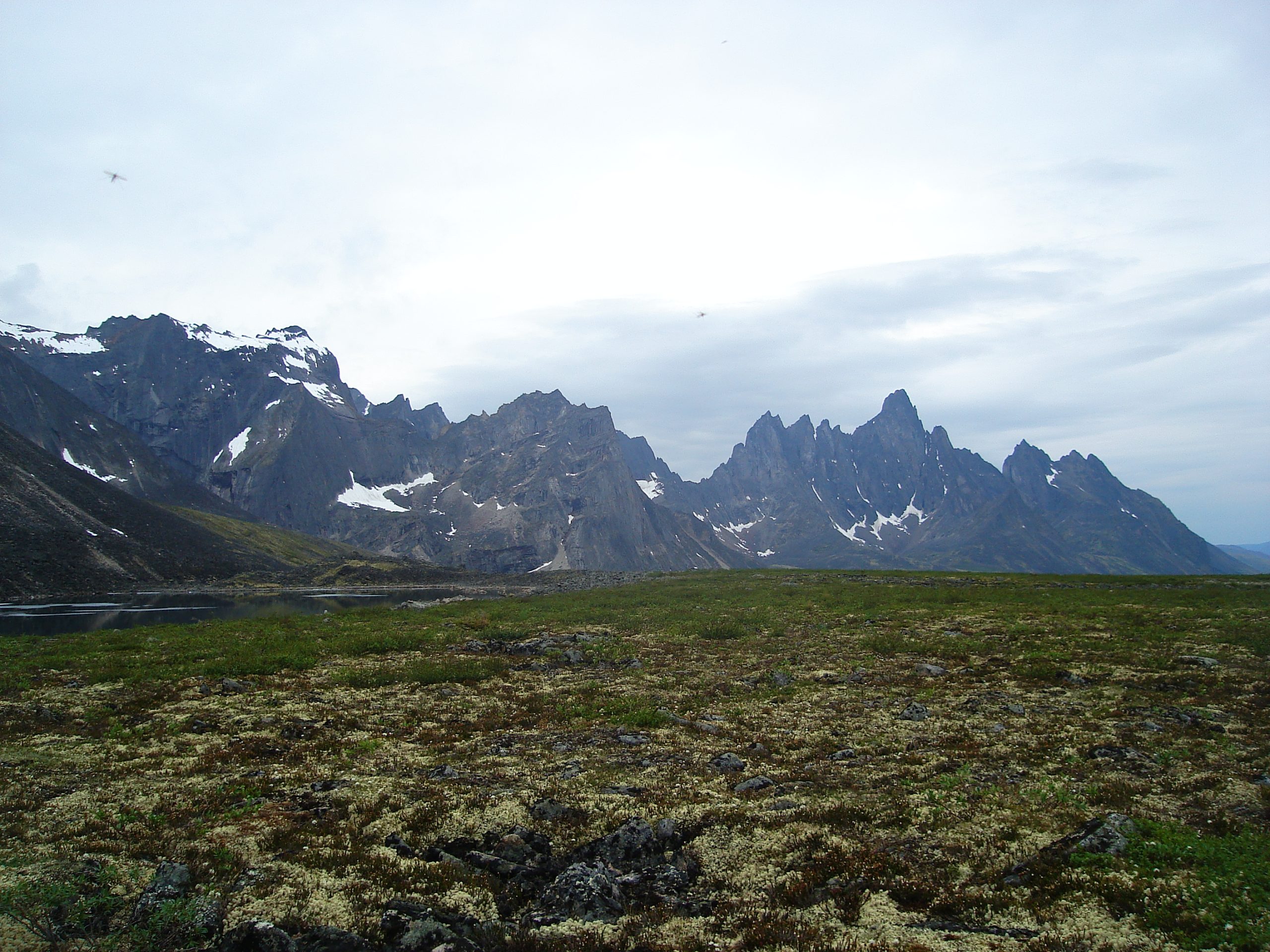
Tombstone protects part of the Ogilvie Mountains, where dark granite spires rise above broad tundra valleys. Much of the area escaped the last ice age, and rare plants survive here. Permafrost lies just beneath the surface. Caribou from the Porcupine and Hart River herds pass through, and grizzly bears, Dall sheep, wolves and gyrfalcons live in the park.
Best time to go
The backcountry campgrounds open July 1, and the season runs to early September. Late August brings brilliant red and gold tundra, and often the first snow. Summer days are long, but storms and snow can arrive in any month. Winter is deep cold and dark.
Getting there and around
From the Klondike Highway near Dawson City, the gravel Dempster Highway runs north into the park. The Tombstone Interpretive Centre and a road-accessible campground sit near kilometre 71. The Grizzly Lake trailhead is a short drive south of the centre. Beyond Grizzly Lake, routes to Divide and Talus lakes cross steep boulder fields and passes.
Things to do
The classic trip is the hike to Grizzly Lake and on to Divide and Talus lakes beneath Tombstone Mountain, usually over three to five days. Day hikers walk to Goldensides or Grizzly Ridge for views, and the drive along the Dempster is one of the great road trips of the North. Experienced parties head off-trail across the valleys.
Staying safe
Grizzly bears are common, so carry bear spray and use the food lockers. Weather changes fast and snow can fall in midsummer, so carry warm layers and a strong tent. The route beyond Grizzly Lake crosses steep talus and a high pass, slow and tiring with a heavy pack. Drive the Dempster with spare tires and fuel. There is no cell service, so carry a satellite messenger and leave a trip plan.
Know before you go
Backcountry sites must be reserved, and every camper must attend the orientation and pick up a permit at the Interpretive Centre. This page is a general overview, not a live conditions report, so confirm current conditions and reservations with the Government of Yukon before you go.
- Coordinates
- 64.5739, -138.6098
- Magnetic declination
- 17.6° E (2026)
Set this declination on your compass, then align it to the map's north lines; it is the angle between true north and magnetic north, refreshed each year.
How declination works, and how to navigate with a map and compass
A spread of the park’s main places shows straight away, and the rest appear as you zoom in. You can also search above, or pick any place from the lists below, and the map will go to it. Places in bold, marked , have a short description.
Getting there 3
Park entrances
Visitor centre
On the trail 7
Trailheads
Routes
Campgrounds
Sights 45
Viewpoints
Lakes
Heritage site
Peaks 30
Map data comes from third-party sources and may be incomplete or out of date, so carry a current official map (terms).
Looking for one of these closer to home?Destinations near me by trip type →
- Best seasons
- Summer (July to early September), Early fall (tundra colour)
- Difficulty
- Moderate to strenuous
- Access / trailheads
- The gravel Dempster Highway runs through the park. The Tombstone Interpretive Centre is near kilometre 71, about 70 miles (112 km) from Dawson City.
- Water
- Streams and lakes; treat all water.
- Cell / satellite coverage
- None in the park. A satellite messenger is essential.
- Nearest ranger / SAR / emergency
- Emergencies: 911 by satellite device (RCMP in Dawson City).
- Permits & regulations
- All backcountry camping needs registration and a permit picked up at the Tombstone Interpretive Centre, after a mandatory orientation (9 a.m., 11 a.m. or 4 p.m. daily). Grizzly, Talus and Divide lake campgrounds must be reserved and open from July 1 to early September.
- Leave No Trace
- Camp only on the tent platforms at the backcountry campgrounds, use the food lockers, stay on durable surfaces on the tundra, and pack out all waste.
January
- Below freezing all day
February
- Below freezing all day
March
- Below freezing all day
- Day-to-night swing of 30°F (17°C)Day-to-night swing of 17°C (30°F)
April
- Below-freezing nights
May
June
July
August
September
- Below-freezing nights
October This month
- Below freezing all day
November
- Below freezing all day
December
- Below freezing all day
What to bring depends on your trip: how long you’re out, where you sleep, and how far you go from the road. The planner builds the list for yours.
Plan a trip here →Averages for 1981–2010 from Environment Canada climate normals, measured at the Dawson Airport station, 41 miles (66 km)66 km (41 miles) away at 1,215 feet (370 m)370 m (1,215 feet). Higher trails run colder, by about 3.5°F for every 1,000 ft (2°C per 300 m)2°C for every 300 m (3.5°F per 1,000 ft) of climb. Daylight runs from sunrise to sunset on the 15th, on the park’s own clock, for a level horizon. Valleys and slopes facing away from the sun are in shade earlier.
Nearby parks
-
 Wrangell-St. Elias National Park
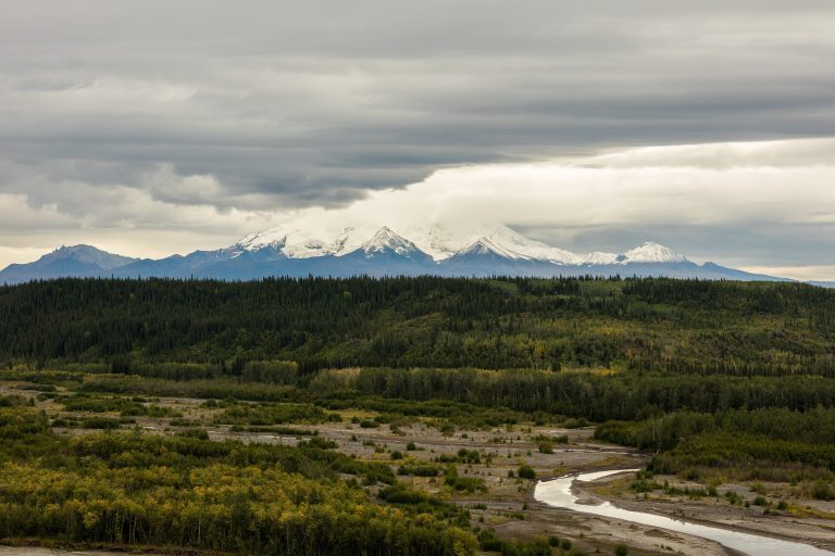
The largest U.S. national park, six times the size of Yellowstone, with nine of the continent's 16 highest peaks.
-
 Vuntut National Park
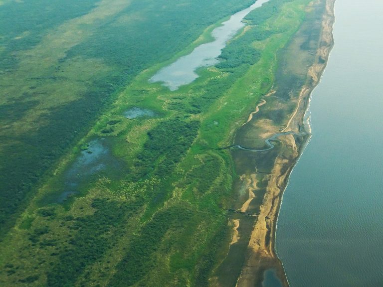
The Old Crow Flats wetlands and the Porcupine caribou herd's range in the far northern Yukon, reached only by air.
-
 Kluane National Park and Reserve
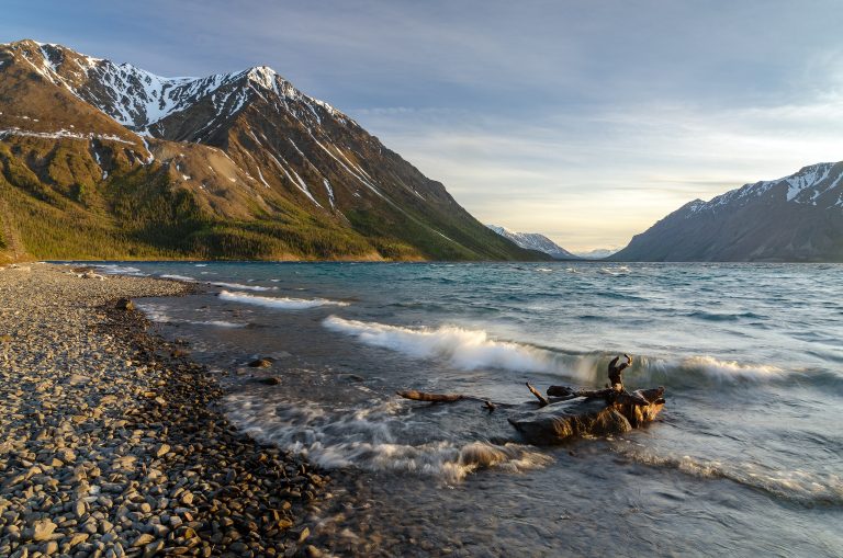
Mount Logan, Canada's highest peak at 19,551 feet (5,959 m), and the largest non-polar icefields on Earth, in the southwest Yukon.
Straight-line distance between park centres. Road distance is usually longer.
Looking for somewhere closer to home?
See every park and monument within a day’s drive of where you are.