

Bay du Nord Wilderness Reserve
Fast facts
- Established: provisional reserve in 1986, fully designated in 1990
- Size: about 1,118 square miles (2,895 km²)
- River: the Bay du Nord, a Canadian Heritage River and the largest protected river system in the province
- Wildlife: much of the range of the Middle Ridge caribou herd, about 15,000 animals
- Managed by: Newfoundland and Labrador Parks and Natural Areas (a wilderness reserve, not a park)
The landscape
Bay du Nord is one of the last large unspoiled areas on the island of Newfoundland: a mosaic of ponds, rivers, barrens, bogs and fens, forest and thickets. The Bay du Nord River winds through it toward the south coast. Caribou migrate across the barrens, and the reserve also holds moose, black bears, lynx and the largest goose habitat on the island.
Best time to go
Canoeing and hiking run from June to September. The south of the reserve is strongly maritime, with cool summers, frequent fog and high rainfall; the interior is warmer in summer and colder in winter. Fall is hunting season in parts of the reserve.
Getting there and around
There are no roads into the reserve. Most visitors fly in by floatplane or paddle in from road access points near the surrounding highways. Inside, travel is by canoe, on foot across the barrens or by snowmobile in winter, outside the protected caribou range. There are no trails or markers.
Things to do
The Bay du Nord River is a classic wilderness canoe trip for experienced paddlers. Others hike across the barrens, fish for brook trout and Atlantic salmon, and watch caribou. Photography, birding and simple solitude are the rewards.
Staying safe
The province advises visitors to let someone know their route and return time, to carry a compass and 1:50,000 topographic maps, and to expect spotty cell coverage. Fog can roll in quickly and hide landmarks on open barrens, so navigation skills matter. Scout rapids and portage when in doubt. Weather is cold and wet even in summer. Carry a satellite messenger.
Know before you go
An entry permit is required, and seasonal snowmobile restrictions protect the caribou. This page is a general overview, not a live conditions report, so confirm permits and conditions with Newfoundland and Labrador Parks and Natural Areas before you go.
- Coordinates
- 48.0911, -54.8089
- Magnetic declination
- 16.8° W (2026)
Set this declination on your compass, then align it to the map's north lines; it is the angle between true north and magnetic north, refreshed each year.
How declination works, and how to navigate with a map and compass
A spread of the park’s main places shows straight away, and the rest appear as you zoom in. You can also search above, or pick any place from the lists below, and the map will go to it. Places in bold, marked , have a short description.
Sights 29
Lakes
Map data comes from third-party sources and may be incomplete or out of date, so carry a current official map (terms).
Looking for one of these closer to home?Destinations near me by trip type →
- Best seasons
- Summer, Early fall
- Difficulty
- Strenuous (remote wilderness)
- Access / trailheads
- No entrance roads. The reserve is flanked by the Trans-Canada Highway to the north and Routes 360 and 210, and is best reached by floatplane or by canoe from road access points.
- Water
- Ponds and rivers everywhere; filter or treat all water.
- Cell / satellite coverage
- Spotty; calls are possible from some hilltops. Carry a satellite messenger.
- Nearest ranger / SAR / emergency
- Emergencies: 911 by satellite device (RCMP coordinate search and rescue).
- Permits & regulations
- An entry permit is required. Snowmobiling is not allowed in the caribou winter range from December 15 to March 15.
- Leave No Trace
- Travel light, camp without leaving traces, pack out everything, and give caribou their space.
January
- Below freezing all day
February
- Below freezing all day
March
- Below-freezing nights
April
- Below-freezing nights
May
June
July
August
September
October This month
November
- Below-freezing nights
December
- Below-freezing nights
What to bring depends on your trip: how long you’re out, where you sleep, and how far you go from the road. The planner builds the list for yours.
Plan a trip here →Averages for 1981–2010 from Environment Canada climate normals, measured at the Swift Current station, 31 miles (50 km)50 km (31 miles) away at 60 feet (18 m)18 m (60 feet). Higher trails run colder, by about 3.5°F for every 1,000 ft (2°C per 300 m)2°C for every 300 m (3.5°F per 1,000 ft) of climb. Daylight runs from sunrise to sunset on the 15th, on the park’s own clock, for a level horizon. Valleys and slopes facing away from the sun are in shade earlier.
Nearby parks
-
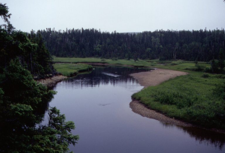 Terra Nova National Park
Rugged coves, bogs and boreal forest on Newfoundland's Bonavista Bay, with sea kayaking, whales, spring icebergs and the Outport Trail.
-
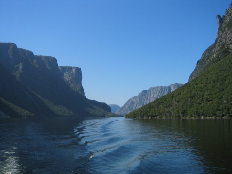 Gros Morne National Park
Fjords, the Tablelands' exposed earth's mantle and the Long Range Mountains on Newfoundland's west coast, with Western Brook Pond.
-
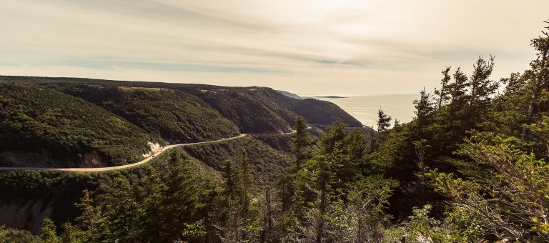 Cape Breton Highlands National Park
Highland plateau and sea cliffs on northern Cape Breton Island, with the Cabot Trail, the Skyline Trail and pilot whales offshore.
Straight-line distance between park centres. Road distance is usually longer.
Looking for somewhere closer to home?
See every park and monument within a day’s drive of where you are.