

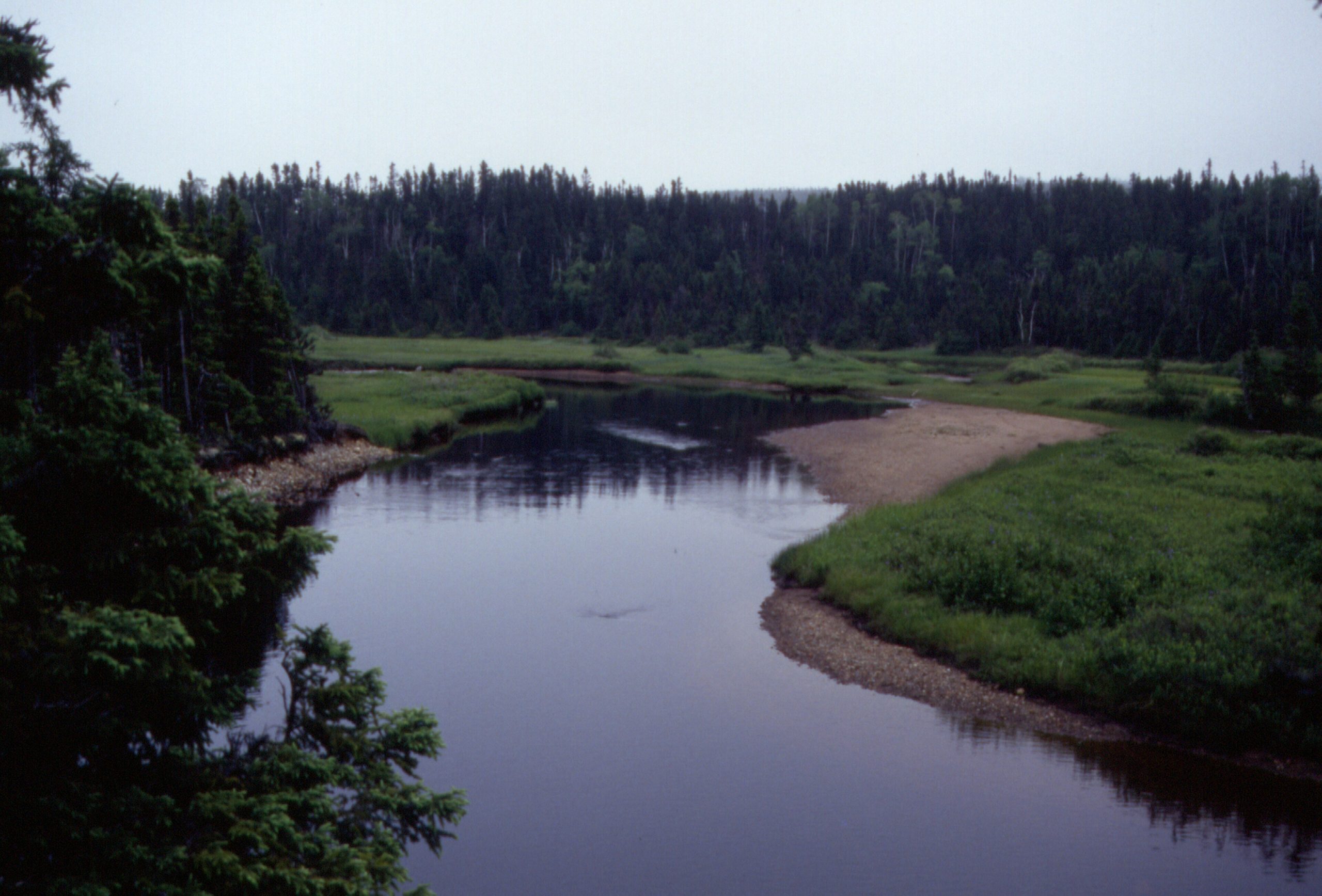
Terra Nova National Park
Terra Nova is the easternmost national park in Canada, a gentle, accessible slice of Newfoundland’s boreal coast where sheltered fjords and island-dotted sounds meet rolling forest, bog and pond. Easily reached right off the Trans-Canada Highway, it offers a welcoming introduction to the island’s wild character, from paddling quiet inlets to spotting icebergs and whales offshore in early summer.
Fast facts
- Established: 1957, Newfoundland’s first national park
- Size: about 150 square miles (400 km²) on Newfoundland’s east coast
- Setting: boreal forest, bogs and the sheltered waters of Bonavista Bay
- Highlights: coastal fjords, ponds, and spring icebergs and whales offshore
- Access: along the Trans-Canada Highway between Gander and Clarenville
- Managed by: Parks Canada
The landscape
The park protects a rugged coastline of long fjord-like sounds and islands along Bonavista Bay, backed by boreal forest of black spruce and balsam fir, peat bogs and dozens of ponds. This mix of sheltered saltwater and quiet interior supports moose, black bears, bald eagles and beavers, while the bay draws seabirds, seals, whales and, in spring, drifting icebergs.
Best time to go
Summer and early fall are the prime season for hiking, paddling and camping, with the warmest (still cool) weather and full services; early summer can bring the bonus of icebergs and whales in the bay. Fall adds color and quiet. Winter is snowy and largely closed, offering solitude for cross-country skiing.
Getting there and around
The Trans-Canada Highway (Route 1) runs directly through Terra Nova between Gander and Clarenville, making it one of the easiest Newfoundland parks to reach. A vehicle brings you to the trailheads, campgrounds, visitor centre and boat launches spread along the highway and the coast.
Things to do
Hike the coastal and interior trails from easy pond loops to longer routes with ocean views, and sea kayak the sheltered sounds and islands. Take a boat tour for wildlife and, in season, icebergs, camp from serviced sites to backcountry spots, and join interpretive programs on the boreal and marine ecosystems.
Staying safe
Coastal water is cold and weather can turn foggy and raw quickly, so paddlers should carry proper gear and watch the forecast. Black bears and moose are present, store food and give wildlife space, and ticks are increasingly common, so use repellent and check yourself after hiking.
Know before you go
A Parks Canada pass is required and camping should be reserved, especially in summer. This page is a general overview, not a live conditions report; always confirm current conditions, reservations and closures with Parks Canada before your trip.
- Coordinates
- 48.5219, -53.9426
- Magnetic declination
- 16.8° W (2026)
Set this declination on your compass, then align it to the map's north lines; it is the angle between true north and magnetic north, refreshed each year.
A spread of the park’s main places shows straight away, and the rest appear as you zoom in. You can also search above, or pick any place from the lists below, and the map will go to it.
On the trail 1
Campground
Sights 24
Viewpoints
Islands
Map data comes from third-party sources and may be incomplete or out of date, so carry a current official map (terms).
- Best seasons
- Summer, Early fall
- Difficulty
- Easy to moderate
- Access / trailheads
- On the east coast of Newfoundland along the Trans-Canada Highway (Route 1), between Gander and Clarenville; the highway runs right through the park.
- Water
- Ponds and streams; treat all drinking water.
- Cell / satellite coverage
- Patchy cell service. Carry a map.
- Nearest ranger / SAR / emergency
- Parks Canada dispatch: 1-877-852-3100; life-threatening emergencies: 911.
- Permits & regulations
- A Parks Canada pass is required; front and backcountry camping need reservations.
- Leave No Trace
- Store food from bears, stay on trails, pack out all waste, and follow Leave No Trace.
January
- Below freezing all day
February
- Below freezing all day
March
- Below-freezing nights
April
- Below-freezing nights
May
June
July
August
September This month
October
November
- Below-freezing nights
December
- Below-freezing nights
What to bring depends on your trip: how long you’re out, where you sleep, and how far you go from the road. The planner builds the list for yours.
Plan a trip here →Averages for 1981–2010 from Environment Canada climate normals, measured at the Lethbridge station, 12 miles (19 km) away at 50 feet (15 m).