

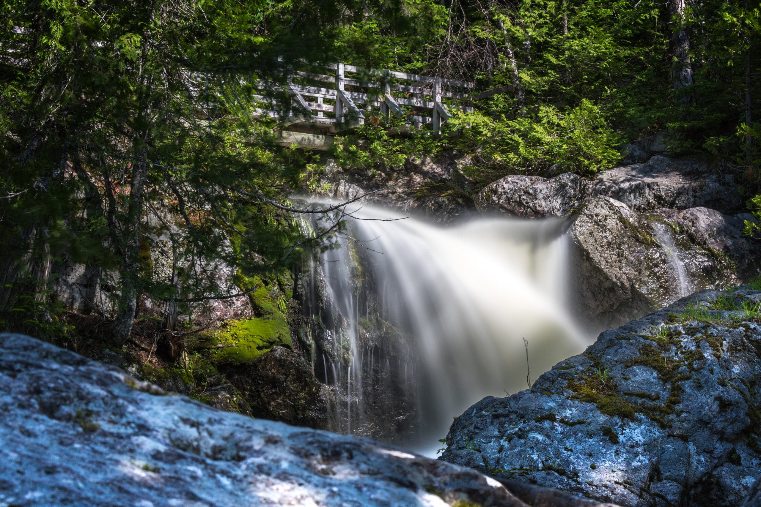
Mount Carleton Provincial Park
Fast facts
- Established: 1970
- Size: more than 42,000 acres (17,000 ha), the largest park in New Brunswick
- Highest point: Mount Carleton, 2,690 feet (820 m), the highest peak in the Maritimes
- Dark sky: a designated Dark Sky Preserve
- Gateway: Saint-Quentin
- Managed by: NB Parks
The landscape
Mount Carleton sits in the remote highlands of north-central New Brunswick, where rounded Appalachian peaks rise over a chain of lakes, including Nictau, Bathurst and the Nepisiguit lakes. Acadian forest of spruce, fir, birch and maple covers the slopes, and rare alpine plants grow near the summits. The park holds more species of wild animals than any other part of the province, including moose, black bears and lynx.
Best time to go
The gates are open from mid-May to the end of October. Summer is best for camping and paddling, with bugs in June. Late September and early October bring brilliant fall colour and crisp hiking weather. Winter access is for skiers, snowshoers and snowmobilers on groomed trails.
Getting there and around
Route 385 runs into the park from Saint-Quentin in the north and from the south. Register at the main entrance on arrival. A park road links the Armstrong campground, trailheads and lakes. Many trails start near the road, and the Headwaters campsites are reached on foot partway up Mount Carleton.
Things to do
The Mount Carleton Trail climbs to the summit and a historic fire tower with views across the highlands, and Mount Sagamook offers a steeper climb above Nictau Lake. Paddlers explore the lakes and the Nepisiguit River. The Headwaters campground provides a basic backcountry night, and the dark skies make for excellent stargazing.
Staying safe
The summits are exposed and colder and windier than the valleys, so carry layers. The park is remote, with limited services and little cell coverage, so carry what you need and leave a trip plan. Store food away from bears, give moose space, and wear a life jacket on the lakes.
Know before you go
Gate dates and hours change each season. This page is a general overview, not a live conditions report, so confirm current dates, trail conditions and reservations with NB Parks before you go.
- Coordinates
- 47.4038, -66.8330
- Magnetic declination
- 16.3° W (2026)
Set this declination on your compass, then align it to the map's north lines; it is the angle between true north and magnetic north, refreshed each year.
How declination works, and how to navigate with a map and compass
A spread of the park’s main places shows straight away, and the rest appear as you zoom in. You can also search above, or pick any place from the lists below, and the map will go to it. Places in bold, marked , have a short description.
Getting there 1
Park entrance
On the trail 3
Trailhead
Campgrounds
Sights 30
Lakes
Island
Peaks 19
Map data comes from third-party sources and may be incomplete or out of date, so carry a current official map (terms).
Looking for one of these closer to home?Destinations near me by trip type →
- Best seasons
- Summer, Early fall (foliage), Winter (skiing and snowshoeing)
- Difficulty
- Easy to moderate
- Access / trailheads
- Route 385 from Saint-Quentin (from the south, via Plaster Rock). The gates are open from mid-May to the end of October.
- Water
- Lakes and streams; treat all water. Water at the main campground.
- Cell / satellite coverage
- Very limited. Carry a satellite messenger for backcountry trips.
- Nearest ranger / SAR / emergency
- Emergencies: 911.
- Permits & regulations
- Register at the main entrance on arrival. Campgrounds, cabins and the Headwaters backcountry sites are reserved through NB Parks.
- Leave No Trace
- Camp only at designated sites, store food from bears, stay on trails across the fragile summits, and keep light to a minimum in the dark-sky preserve.
January
- Below freezing all day
February
- Below freezing all day
March
- Below-freezing nights
April
- Below-freezing nights
May
June
July
August
September
October This month
- Below-freezing nights
November
- Below-freezing nights
December
- Below freezing all day
What to bring depends on your trip: how long you’re out, where you sleep, and how far you go from the road. The planner builds the list for yours.
Plan a trip here →Averages for 1981–2010 from Environment Canada climate normals, measured at the Mount Carleton station, 3 miles (5 km)5 km (3 miles) away at 870 feet (265 m)265 m (870 feet). Higher trails run colder, by about 3.5°F for every 1,000 ft (2°C per 300 m)2°C for every 300 m (3.5°F per 1,000 ft) of climb. Daylight runs from sunrise to sunset on the 15th, on the park’s own clock, for a level horizon. Valleys and slopes facing away from the sun are in shade earlier.
Nearby parks
-
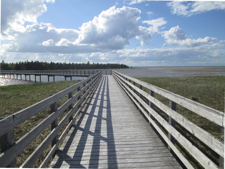 Kouchibouguac National Park
Barrier islands, salt marshes and warm beaches on New Brunswick's Acadian coast, with grey seals, cycling trails and dark-sky stargazing.
-
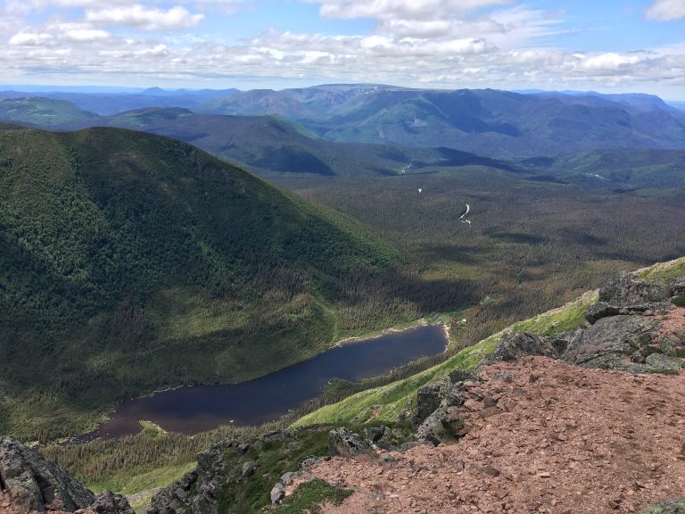 Parc national de la Gaspésie
The Chic-Chocs: tundra summits above 4,000 feet (1,200 m), the last caribou south of the St. Lawrence, and late-spring skiing.
-
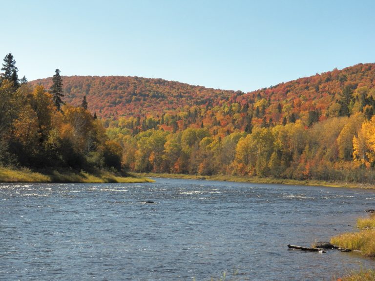 Allagash Wilderness Waterway
A 92-mile (148 km) ribbon of lakes and river through Maine's North Woods, paddled from Chamberlain Lake to Allagash.
-
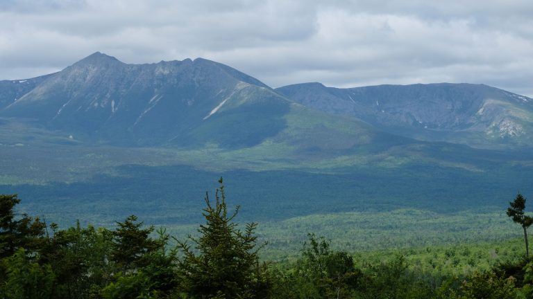 Katahdin Woods and Waters National Monument
Northern Maine forest and rivers beside Katahdin, with a scenic loop road, lean-tos, winter huts and the International Appalachian Trail.
Straight-line distance between park centres. Road distance is usually longer.
Looking for somewhere closer to home?
See every park and monument within a day’s drive of where you are.