

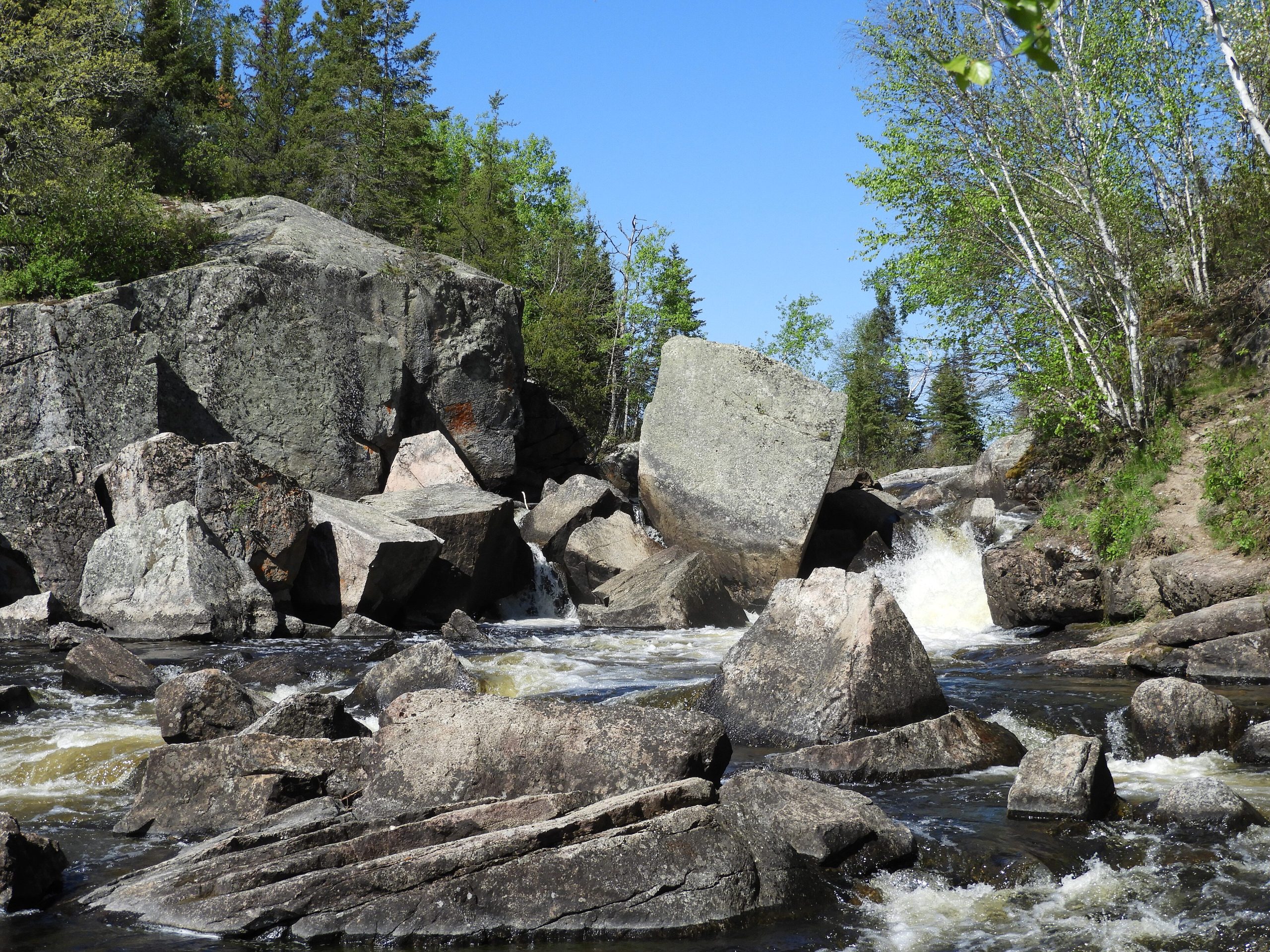
Nopiming Provincial Park
Fast facts
- Established: 1976
- Name: Anishinaabe for “entrance to the wilderness”
- Canoe routes: including Beresford–Garner Lake, Bird River–Elbow Lake and the Manigotagan River
- Gateway: Winnipeg, about 141 miles (227 km) to Bird Lake
- Managed by: Manitoba Parks
The landscape
Nopiming is Canadian Shield country: granite ridges, black spruce, birch and poplar, and lakes linked by rivers that carried voyageur canoes. Moose, black bears, woodland caribou and bald eagles live here. Large wildfires have burned through the park, and parts of it are open, recovering forest with fewer trees around campsites and on the trails.
Best time to go
Paddling season runs from late May to September. July and August are warmest; early summer brings bugs. Fall is cool and quiet. Fire conditions can change quickly in dry summers.
Getting there and around
Provincial roads lead from Winnipeg to Bird Lake at the park’s south end, and PR 314 continues north past lakes, campgrounds and canoe put-ins. Several drive-in campgrounds serve as bases, and the canoe routes lead away from the road into the backcountry.
Things to do
Paddlers follow routes such as Beresford–Garner Lake, Bird River–Elbow Lake and the Manigotagan River, with backcountry campsites along the way. The Shoe Lake campsites offer an easy backcountry introduction. Fishing, wildlife watching and short hikes round out a trip, where trails are open.
Staying safe
Burned areas bring hazard trees, especially in wind, so choose campsites and breaks with care. Wind builds waves quickly on the bigger lakes, and the water is cold, so stay near shore and wear a life jacket. Scout rapids and use portages. Store food away from bears, carry a satellite messenger and leave a trip plan.
Know before you go
Wildfire can close routes, trails and campsites. This page is a general overview, not a live conditions report, so check Manitoba Parks for current closures and complete the backcountry registration form before you go.
- Coordinates
- 50.6338, -95.4405
- Magnetic declination
- 1.2° E (2026)
Set this declination on your compass, then align it to the map's north lines; it is the angle between true north and magnetic north, refreshed each year.
How declination works, and how to navigate with a map and compass
A spread of the park’s main places shows straight away, and the rest appear as you zoom in. You can also search above, or pick any place from the lists below, and the map will go to it. Places in bold, marked , have a short description.
Getting there 4
Park entrances
Ranger stations
On the trail 17
Campgrounds
Huts and shelters
Sights 42
Waterfall
Lakes
Beach
Islands
Map data comes from third-party sources and may be incomplete or out of date, so carry a current official map (terms).
Looking for one of these closer to home?Destinations near me by trip type →
- Best seasons
- Summer, Early fall
- Difficulty
- Easy to moderate
- Access / trailheads
- From Winnipeg, PTH 59, PTH 44, PTH 11, PR 313 and PR 315 lead to Bird Lake at the south end of the park, about 141 miles (227 km) in all. PR 314 runs north through the park.
- Water
- Lakes and rivers; filter or treat all water.
- Cell / satellite coverage
- Limited to none. Carry a satellite messenger.
- Nearest ranger / SAR / emergency
- Emergencies: 911. Manitoba Parks: 1-800-214-6497.
- Permits & regulations
- Backcountry users are asked to complete Manitoba Parks' online backcountry registration form before visiting. Some campgrounds are reservable.
- Leave No Trace
- Camp only at open designated sites, store food from bears, keep fires in existing rings (respecting fire bans), and pack out all waste.
January
- Below freezing all day
February
- Below freezing all day
March
- Below freezing all day
April
- Below-freezing nights
May
June
July
August
September
October This month
November
- Below freezing all day
December
- Below freezing all day
What to bring depends on your trip: how long you’re out, where you sleep, and how far you go from the road. The planner builds the list for yours.
Plan a trip here →Averages for 1981–2010 from Environment Canada climate normals, measured at the Pinawa Wnre station, 42 miles (67 km)67 km (42 miles) away at 875 feet (267 m)267 m (875 feet). Higher trails run colder, by about 3.5°F for every 1,000 ft (2°C per 300 m)2°C for every 300 m (3.5°F per 1,000 ft) of climb. Daylight runs from sunrise to sunset on the 15th, on the park’s own clock, for a level horizon. Valleys and slopes facing away from the sun are in shade earlier.
Nearby parks
-
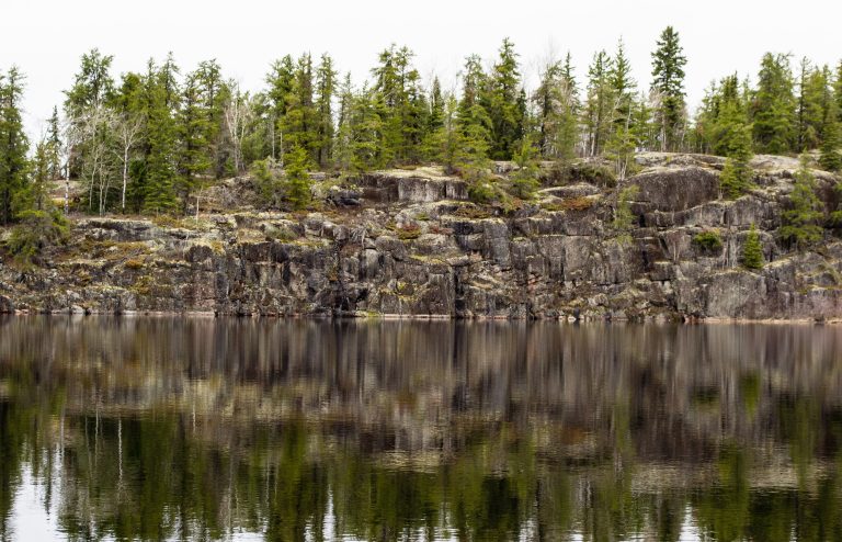 Woodland Caribou Provincial Park
Fewer than 1,000 paddlers a season on 1,240 miles (2,000 km) of canoe routes, in a UNESCO-listed boreal wilderness.
-
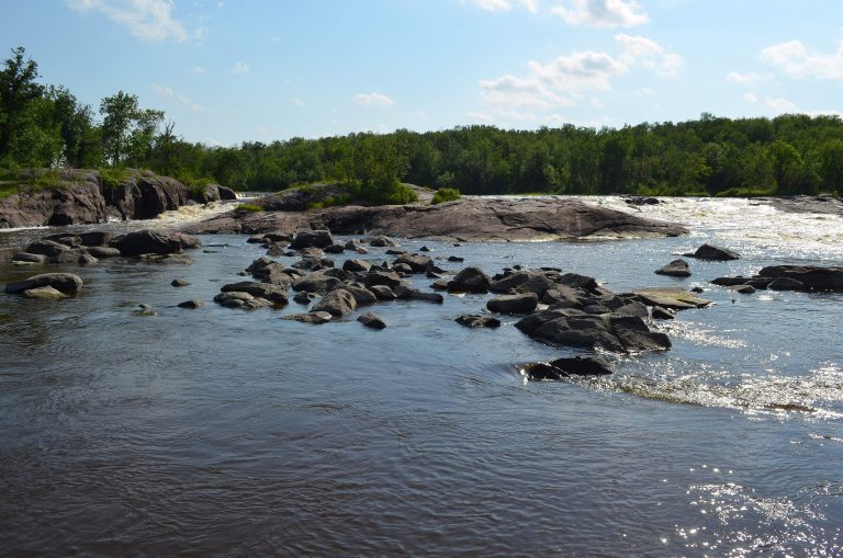 Whiteshell Provincial Park
More than 200 lakes on the Shield an hour east of Winnipeg, and Manitoba's longest backcountry trail.
-
 Atikaki Provincial Park
Roadless canoe country on the Manitoba-Ontario border, with ancient pictographs and whitewater on the Bloodvein.
-
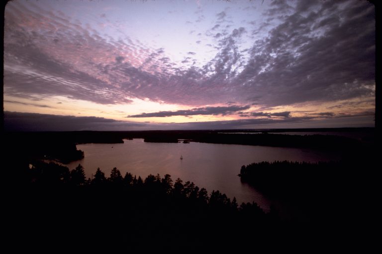 Voyageurs National Park
A water-based park on the Canadian border in northern Minnesota: connected lakes and islands for canoe and boat camping.
Straight-line distance between park centres. Road distance is usually longer.
Looking for somewhere closer to home?
See every park and monument within a day’s drive of where you are.